
-
Federal
Global Historical Climatology Network - Daily (GHCN-Daily), Version 3
National Oceanic and Atmospheric Administration, Department of Commerce —
The Global Historical Climatology Network - Daily (GHCN-Daily/GHCNd) dataset integrates daily climate observations from approximately 30 different data sources.... -
Federal
NCDC International Best Track Archive for Climate Stewardship (IBTrACS) Project, Version 3
National Oceanic and Atmospheric Administration, Department of Commerce —
The International Best Track Archive for Climate Stewardship (IBTrACS) dataset was developed by the NOAA National Climatic Data Center, which took the initial step of... -
Federal
Integrated Global Radiosonde Archive (IGRA), Version 2
National Oceanic and Atmospheric Administration, Department of Commerce —
Integrated Global Radiosonde Archive (IGRA) Version 2 consists of quality-controlled radiosonde observations of temperature, humidity, and wind at stations across all... -
Federal
Meteorological and oceanographic data collected from the National Data Buoy Center Coastal-Marine Automated Network (C-MAN) and moored (weather) buoys
National Oceanic and Atmospheric Administration, Department of Commerce —
The National Data Buoy Center (NDBC) established the Coastal-Marine Automated Network (C-MAN) for the National Weather Service in the early 1980's. NDBC has installed... -
Federal
NOAA Geostationary Operational Environmental Satellite (GOES) I-M and N-P Series Imager Data NGDA
National Oceanic and Atmospheric Administration, Department of Commerce —
The NOAA Geostationary Operational Environmental Satellite (GOES) series provides continuous measurements of the atmosphere and surface over the Western Hemisphere.... -
Federal
National Coral Reef Monitoring Program: Stratified Random Surveys (StRS) of Coral Demography (Adult and Juvenile Corals) across the Mariana Archipelago since 2014
National Oceanic and Atmospheric Administration, Department of Commerce —
The data described here result from benthic coral demographic surveys for two life stages (juveniles, adults) across the Mariana archipelago since 2014. Juvenile... -
Federal
Digital Elevation Models (DEMs) for the main 8 Hawaiian Islands
National Oceanic and Atmospheric Administration, Department of Commerce —
Digital elevation model (DEM) data are arrays of regularly spaced elevation values referenced horizontally either to a Universal Transverse Mercator (UTM) projection... -
Federal
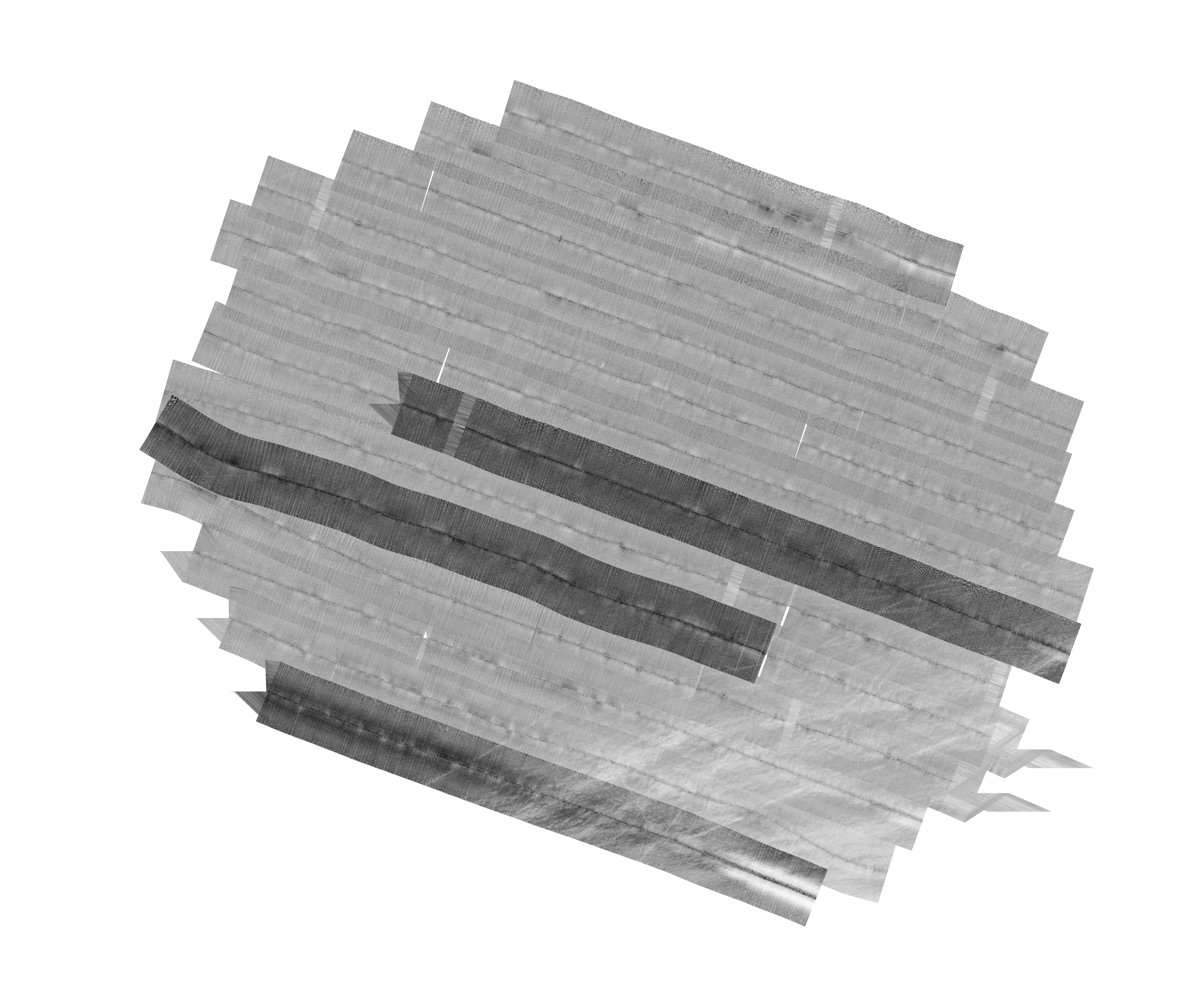
H13992: NOS Hydrographic Survey , 2025-03-14
National Oceanic and Atmospheric Administration, Department of Commerce —
The National Oceanic and Atmospheric Administration (NOAA) has the statutory mandate to collect hydrographic data in support of nautical chart compilation for safe... -
Federal
NOAA Office for Coastal Management Coastal Inundation Digital Elevation Model: Louisiana Central East
National Oceanic and Atmospheric Administration, Department of Commerce —
These data were created as part of the National Oceanic and Atmospheric Administration Office for Coastal Management's efforts to create an online mapping viewer... -
Federal
Global Historical Climatology Network - Daily (GHCN-Daily), Version 2 (Version Superseded)
National Oceanic and Atmospheric Administration, Department of Commerce —
Please note, this dataset has been superseded by a newer version (see below). Users should not use this version except in rare cases (e.g., when reproducing previous... -
Federal
R-Factor for the Conterminous United States
National Oceanic and Atmospheric Administration, Department of Commerce —
The rainfall-runoff erosivity factor (R-Factor) quantifies the effects of raindrop impacts and reflects the amount and rate of runoff associated with the rain. The... -
Federal
2022 - 2023 NOAA USGS Lidar: Hawaii (Kahoolawe, Lanai, Maui, Molokai, Oahu)
National Oceanic and Atmospheric Administration, Department of Commerce —
Original Dataset Product: Processed, classified lidar point cloud data tiles in LAZ 1.4 format. Original Dataset Geographic Extent: HI_NOAAMauiOahu_1: The work unit... -
Federal
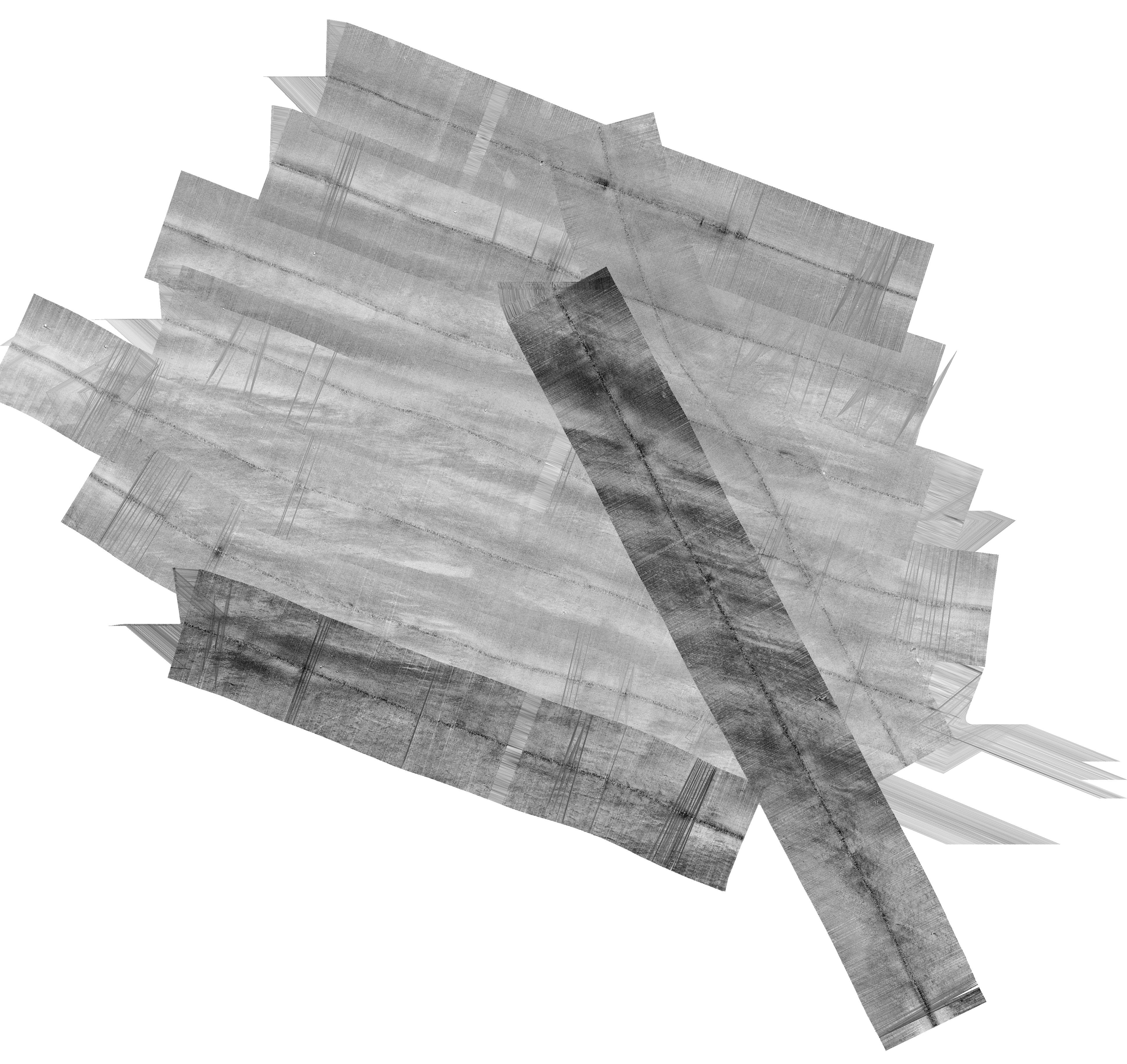
H12829: NOS Hydrographic Survey , 2015-08-12
National Oceanic and Atmospheric Administration, Department of Commerce —
The National Oceanic and Atmospheric Administration (NOAA) has the statutory mandate to collect hydrographic data in support of nautical chart compilation for safe... -
Federal
Precipitation Frequency for Northeastern states, USA - NOAA Atlas 14 Volume 10
National Oceanic and Atmospheric Administration, Department of Commerce —
This GIS grid atlas contains precipitation frequency estimates for the Northeastern states based on precipitation data collected between 1816-2014. This atlas... -
Federal
F00508: NOS Hydrographic Survey , Wildcat Knoll Mapping Project, Massachusetts, 2005-08-08
National Oceanic and Atmospheric Administration, Department of Commerce —
The National Oceanic and Atmospheric Administration (NOAA) has the statutory mandate to collect hydrographic data in support of nautical chart compilation for safe... -
Federal
International Satellite Cloud Climatology Project (ISCCP), Raw Radiance Data (B1)
National Oceanic and Atmospheric Administration, Department of Commerce —
In 1983, the International Satellite Cloud Climatology Project (ISCCP) began collecting satellite data from the international geostationary meteorological satellites... -
Federal
National Coral Reef Monitoring Program: Assessment of coral reef fish communities in the Florida Reef Tract
National Oceanic and Atmospheric Administration, Department of Commerce —
Coral reef fish survey data provided in this collection are from three (3) distinct regions along the Florida reef tract; 1) Dry Tortugas, 2) Florida Keys from Key... -
Federal
H13773: NOS Hydrographic Survey , 2023-12-14
National Oceanic and Atmospheric Administration, Department of Commerce —
The National Oceanic and Atmospheric Administration (NOAA) has the statutory mandate to collect hydrographic data in support of nautical chart compilation for safe...

Official websites use .gov
A
.gov website belongs to an official government
organization in the United States.
Secure .gov websites use HTTPS
A
lock (
) or https:// means you’ve safely connected to
the .gov website. Share sensitive information only on official,
secure websites.