
-
Federal
NOAA Electronic Navigational Charts (ENC) NGDA
National Oceanic and Atmospheric Administration, Department of Commerce —
The Office of Coast Survey (OCS) has been involved in the development of a NOAA Electronic Navigational Chart (NOAA ENC) suite to support the marine transportation... -
Federal
Soil Types - Guam
National Oceanic and Atmospheric Administration, Department of Commerce —
Natural Resources Conservation Service (NRCS) soil types of Guam, Mariana Islands. -
Federal
USGS 10-m Digital Elevation Model (DEM): Hawaii: Big Island: Hillshade
National Oceanic and Atmospheric Administration, Department of Commerce —
A 10-meter resolution land surface digital elevation model (DEM) grayscale hillshade for Big Island in Hawaii derived from United States Geological Survey (USGS) 1/3... -
Federal
Water Level Data from Pacific Tsunami Warning Center Tide Gauges in Hawaii
National Oceanic and Atmospheric Administration, Department of Commerce —
The Pacific Tsunami Warning Center (PTWC) of the National Weather Service (NWS), an organizational element of NOAA, operates and maintains a network of approximately... -
Federal
USGS 10-m Digital Elevation Model (DEM): Guam: Hillshade
National Oceanic and Atmospheric Administration, Department of Commerce —
A 10-meter resolution land surface digital elevation model (DEM) grayscale hillshade for the island of Guam derived from United States Geological Survey (USGS) 1/3... -
Federal
USGS 10-m Digital Elevation Model (DEM): Hawaii: Oahu: Hillshade
National Oceanic and Atmospheric Administration, Department of Commerce —
A 10-meter resolution land surface digital elevation model (DEM) grayscale hillshade for the island of Oahu in Hawaii derived from United States Geological Survey... -
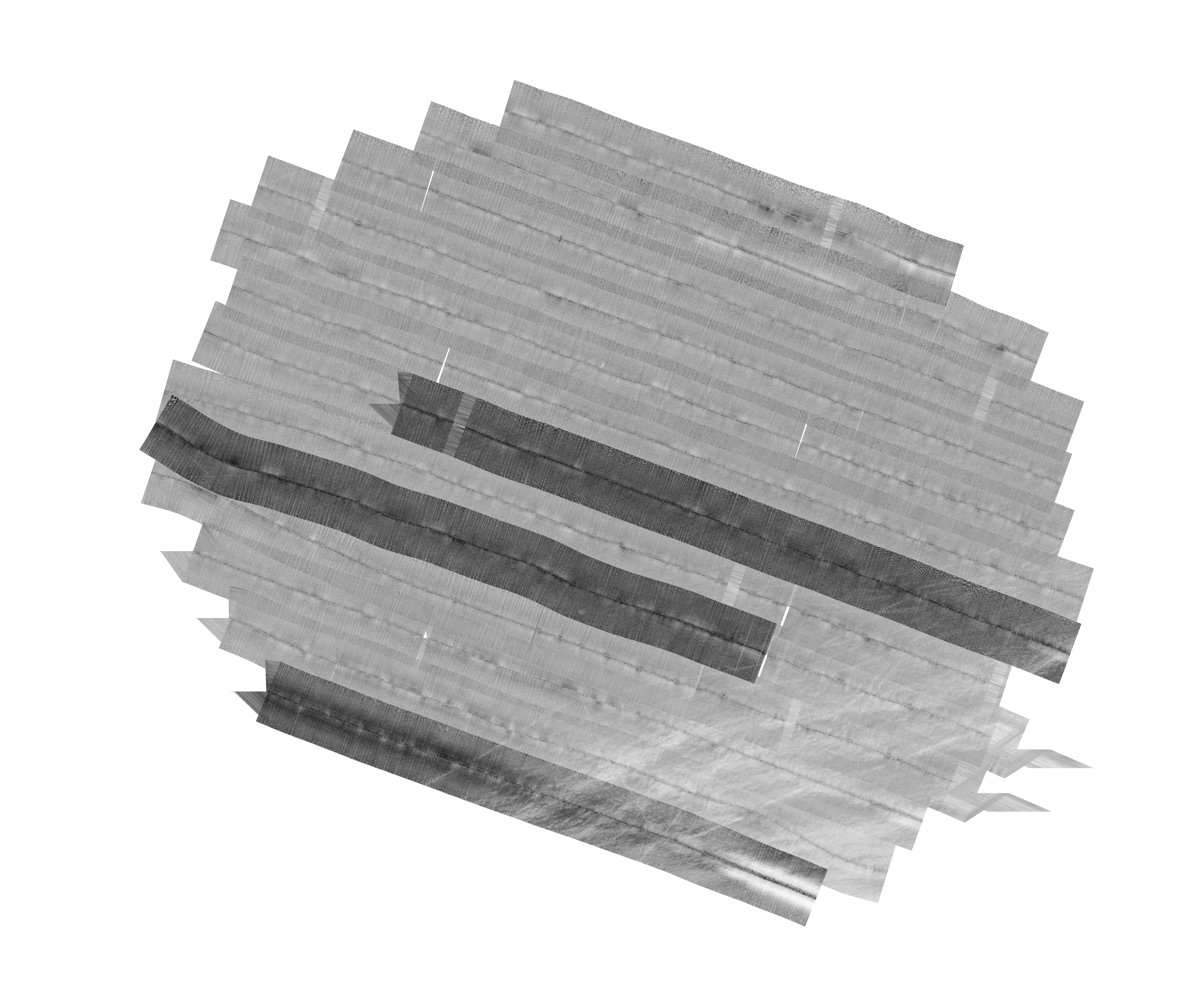
Federal
H13992: NOS Hydrographic Survey , 2025-03-14
National Oceanic and Atmospheric Administration, Department of Commerce —
The National Oceanic and Atmospheric Administration (NOAA) has the statutory mandate to collect hydrographic data in support of nautical chart compilation for safe... -
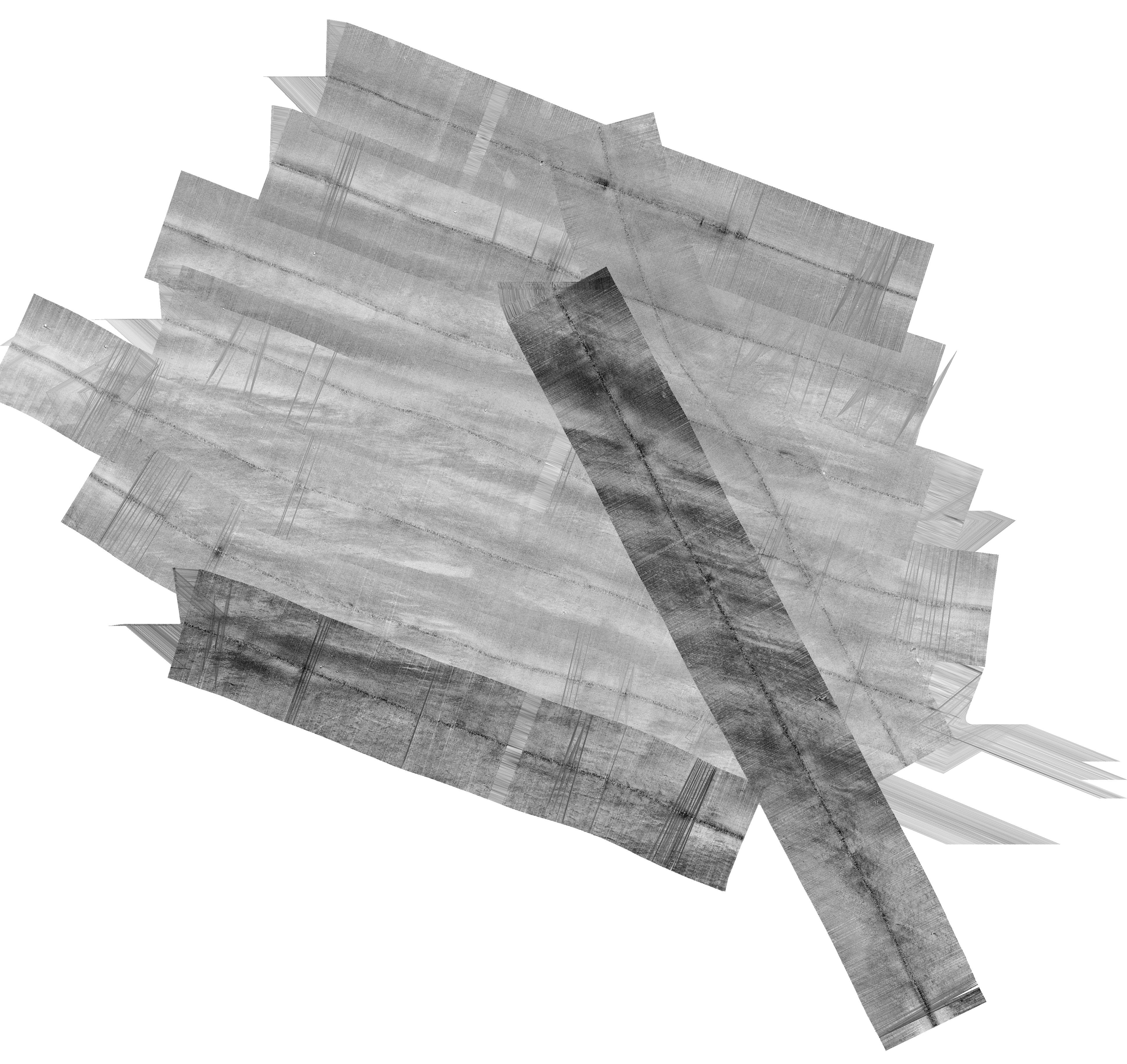
Federal
H13773: NOS Hydrographic Survey , 2023-12-14
National Oceanic and Atmospheric Administration, Department of Commerce —
The National Oceanic and Atmospheric Administration (NOAA) has the statutory mandate to collect hydrographic data in support of nautical chart compilation for safe... -
Federal
Vegetation - Guam
National Oceanic and Atmospheric Administration, Department of Commerce —
Vegetation (USFS) of Guam, Mariana Islands. -
Federal
Marine Fish data for the Deepwater Horizon Response and Assessment in the Gulf of Mexico, dating from 2010-04-30 to 2015-04-24
National Oceanic and Atmospheric Administration, Department of Commerce —
These Marine Fish data were gathered and utilized during the Response and Assessment phases of the Deepwater Horizon oil spill in the Gulf of Mexico. These data are... -
Federal
H12829: NOS Hydrographic Survey , 2015-08-12
National Oceanic and Atmospheric Administration, Department of Commerce —
The National Oceanic and Atmospheric Administration (NOAA) has the statutory mandate to collect hydrographic data in support of nautical chart compilation for safe... -
Federal
F00491: NOS Hydrographic Survey , Taunton River, Massachusetts, 2002-08-12
National Oceanic and Atmospheric Administration, Department of Commerce —
The National Oceanic and Atmospheric Administration (NOAA) has the statutory mandate to collect hydrographic data in support of nautical chart compilation for safe... -
Federal
H04218: NOS Hydrographic Survey , 1922-12-31
National Oceanic and Atmospheric Administration, Department of Commerce —
The National Oceanic and Atmospheric Administration (NOAA) has the statutory mandate to collect hydrographic data in support of nautical chart compilation for safe... -
Federal
USGS 10-m Digital Elevation Model (DEM): CNMI: Saipan: Hillshade
National Oceanic and Atmospheric Administration, Department of Commerce —
A 10-meter resolution land surface digital elevation model (DEM) grayscale hillshade for the island of Saipan in the Commonwealth of the Northern Mariana Islands... -
Federal
F00508: NOS Hydrographic Survey , Wildcat Knoll Mapping Project, Massachusetts, 2005-08-08
National Oceanic and Atmospheric Administration, Department of Commerce —
The National Oceanic and Atmospheric Administration (NOAA) has the statutory mandate to collect hydrographic data in support of nautical chart compilation for safe... -
Federal
H12305: NOS Hydrographic Survey , Central Chesapeake Bay, 2013-12-10
National Oceanic and Atmospheric Administration, Department of Commerce —
The National Oceanic and Atmospheric Administration (NOAA) has the statutory mandate to collect hydrographic data in support of nautical chart compilation for safe... -
Federal
L01421: NOS Hydrographic Survey , 1922-12-31
National Oceanic and Atmospheric Administration, Department of Commerce —
The National Oceanic and Atmospheric Administration (NOAA) has the statutory mandate to collect hydrographic data in support of nautical chart compilation for safe... -
Federal
EX2206: Voyage to the Ridge 3 (ROV and Mapping)
National Oceanic and Atmospheric Administration, Department of Commerce —
From August 6 - September 2, 2022 (Horta, Faial, Azores to San Juan, Puerto Rico) NOAA Ocean Exploration completed the Voyage to the Ridge 3 expedition (EX-22-06), a... -
Federal
H08540: NOS Hydrographic Survey , Central Nantucket Shoals, Massachusetts, 1960-09-25
National Oceanic and Atmospheric Administration, Department of Commerce —
The National Oceanic and Atmospheric Administration (NOAA) has the statutory mandate to collect hydrographic data in support of nautical chart compilation for safe... -
Federal
H01858: NOS Hydrographic Survey , 1886-12-31
National Oceanic and Atmospheric Administration, Department of Commerce —
The National Oceanic and Atmospheric Administration (NOAA) has the statutory mandate to collect hydrographic data in support of nautical chart compilation for safe...

Official websites use .gov
A
.gov website belongs to an official government
organization in the United States.
Secure .gov websites use HTTPS
A
lock (
) or https:// means you’ve safely connected to
the .gov website. Share sensitive information only on official,
secure websites.
.jpg)