
-
Federal
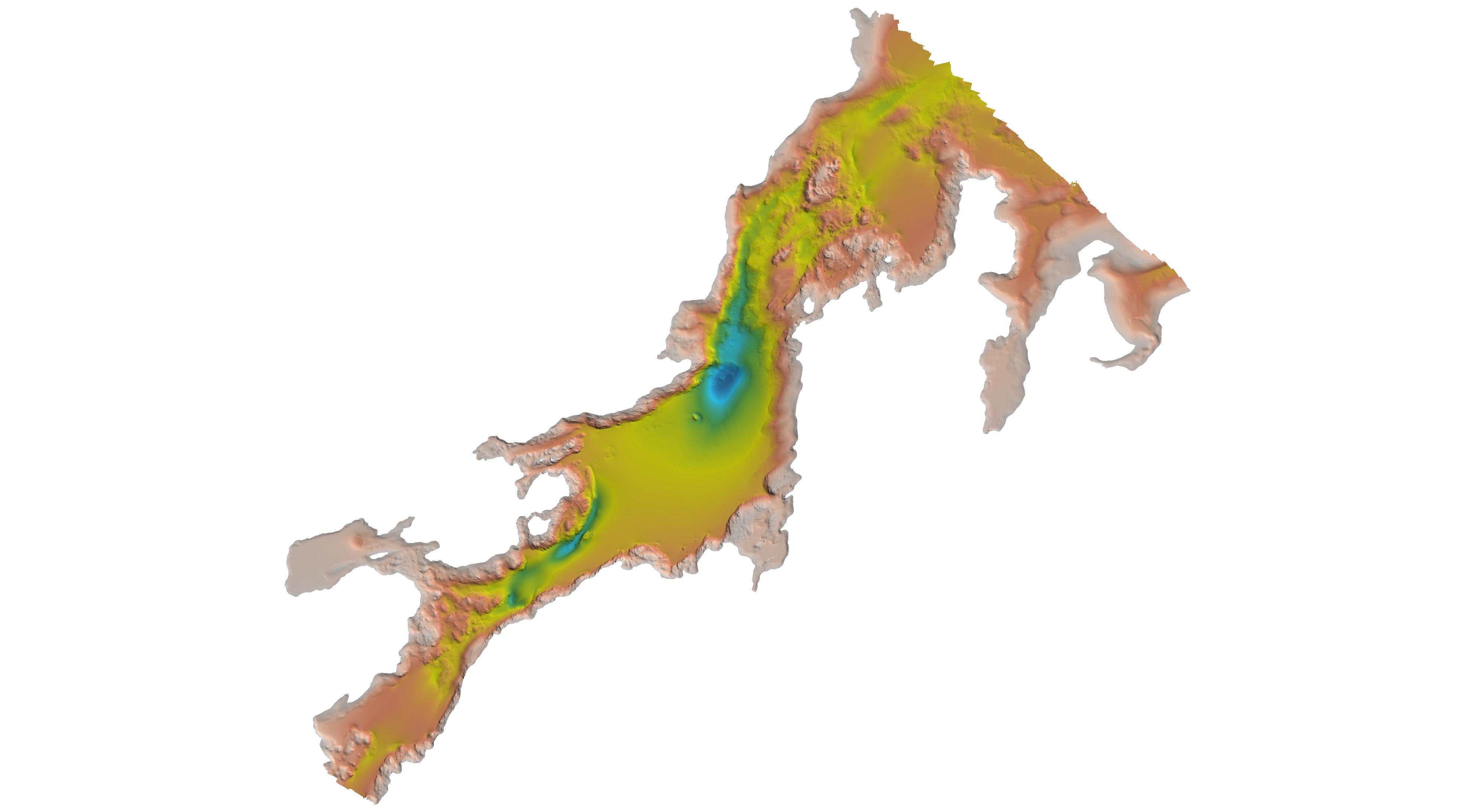
USGS 10-m Digital Elevation Model (DEM): Hawaii: Big Island: Hillshade
National Oceanic and Atmospheric Administration, Department of Commerce —
A 10-meter resolution land surface digital elevation model (DEM) grayscale hillshade for Big Island in Hawaii derived from United States Geological Survey (USGS) 1/3... -
Federal
USGS 10-m Digital Elevation Model (DEM): Hawaii: Oahu: Hillshade
National Oceanic and Atmospheric Administration, Department of Commerce —
A 10-meter resolution land surface digital elevation model (DEM) grayscale hillshade for the island of Oahu in Hawaii derived from United States Geological Survey... -
Federal
H12829: NOS Hydrographic Survey , 2015-08-12
National Oceanic and Atmospheric Administration, Department of Commerce —
The National Oceanic and Atmospheric Administration (NOAA) has the statutory mandate to collect hydrographic data in support of nautical chart compilation for safe... -
Federal
H11830: NOS Hydrographic Survey , Gulf of Mexico, 2009-09-30
National Oceanic and Atmospheric Administration, Department of Commerce —
The National Oceanic and Atmospheric Administration (NOAA) has the statutory mandate to collect hydrographic data in support of nautical chart compilation for safe... -
Federal
USGS 10-m Digital Elevation Model (DEM): Hawaii: Maui: Hillshade
National Oceanic and Atmospheric Administration, Department of Commerce —
A 10-meter resolution land surface digital elevation model (DEM) grayscale hillshade for the island of Maui in Hawaii derived from United States Geological Survey... -
Federal
H12132: NOS Hydrographic Survey , Thunder Bay, Michigan, 2010-11-04
National Oceanic and Atmospheric Administration, Department of Commerce —
The National Oceanic and Atmospheric Administration (NOAA) has the statutory mandate to collect hydrographic data in support of nautical chart compilation for safe... -
Federal
USGS 10-m Digital Elevation Model (DEM): Guam: Hillshade
National Oceanic and Atmospheric Administration, Department of Commerce —
A 10-meter resolution land surface digital elevation model (DEM) grayscale hillshade for the island of Guam derived from United States Geological Survey (USGS) 1/3... -
Federal
H13962: NOS Hydrographic Survey , 2024-12-20
National Oceanic and Atmospheric Administration, Department of Commerce —
The National Oceanic and Atmospheric Administration (NOAA) has the statutory mandate to collect hydrographic data in support of nautical chart compilation for safe... -
Federal
USGS 10-m Digital Elevation Model (DEM): CNMI: Saipan: Hillshade
National Oceanic and Atmospheric Administration, Department of Commerce —
A 10-meter resolution land surface digital elevation model (DEM) grayscale hillshade for the island of Saipan in the Commonwealth of the Northern Mariana Islands... -
Federal
W00424: NOS Hydrographic Survey , Outside Source Data Surveys - 2017, 2011-09-30
National Oceanic and Atmospheric Administration, Department of Commerce —
The National Oceanic and Atmospheric Administration (NOAA) has the statutory mandate to collect hydrographic data in support of nautical chart compilation for safe... -
Federal
USGS 10-m Digital Elevation Model (DEM): American Samoa: Tau: Hillshade
National Oceanic and Atmospheric Administration, Department of Commerce —
A 10-meter resolution land surface digital elevation model (DEM) grayscale hillshade for the Manua Island of Tau in American Samoa derived from United States... -
Federal
H03589: NOS Hydrographic Survey
National Oceanic and Atmospheric Administration, Department of Commerce —
The National Oceanic and Atmospheric Administration (NOAA) has the statutory mandate to collect hydrographic data in support of nautical chart compilation for safe... -
Federal
H03624: NOS Hydrographic Survey
National Oceanic and Atmospheric Administration, Department of Commerce —
The National Oceanic and Atmospheric Administration (NOAA) has the statutory mandate to collect hydrographic data in support of nautical chart compilation for safe... -
Federal
H13761: NOS Hydrographic Survey , 2023-10-25
National Oceanic and Atmospheric Administration, Department of Commerce —
The National Oceanic and Atmospheric Administration (NOAA) has the statutory mandate to collect hydrographic data in support of nautical chart compilation for safe... -
Federal
EX2206: Voyage to the Ridge 3 (ROV and Mapping)
National Oceanic and Atmospheric Administration, Department of Commerce —
From August 6 - September 2, 2022 (Horta, Faial, Azores to San Juan, Puerto Rico) NOAA Ocean Exploration completed the Voyage to the Ridge 3 expedition (EX-22-06), a... -
Federal
EX2107: Windows to the Deep 2021: Southeast U.S. (ROV and Mapping)
National Oceanic and Atmospheric Administration, Department of Commerce —
The Windows to the Deep 2021: Southeast U.S. ROV and Mapping expedition (EX-21-07) was a combined mapping and remotely operated vehicle (ROV) expedition to the Blake... -
Federal
H11099: NOS Hydrographic Survey , Kasaan Bay, Alaska, 2002-08-16
National Oceanic and Atmospheric Administration, Department of Commerce —
The National Oceanic and Atmospheric Administration (NOAA) has the statutory mandate to collect hydrographic data in support of nautical chart compilation for safe... -
Federal
F00915: NOS Hydrographic Survey , 2025-02-10
National Oceanic and Atmospheric Administration, Department of Commerce —
The National Oceanic and Atmospheric Administration (NOAA) has the statutory mandate to collect hydrographic data in support of nautical chart compilation for safe... -
Federal
H13825: NOS Hydrographic Survey , 2023-07-31
National Oceanic and Atmospheric Administration, Department of Commerce —
The National Oceanic and Atmospheric Administration (NOAA) has the statutory mandate to collect hydrographic data in support of nautical chart compilation for safe... -
Federal
EX2205: Voyage to the Ridge 2 (ROV and Mapping)
National Oceanic and Atmospheric Administration, Department of Commerce —
From July 9-30, 2022 (Norfolk, VA to Horta, Faial, Azores) NOAA Ocean Exploration completed the Voyage to the Ridge 2 expedition (EX-22-05), a combined mapping and...

Official websites use .gov
A
.gov website belongs to an official government
organization in the United States.
Secure .gov websites use HTTPS
A
lock (
) or https:// means you’ve safely connected to
the .gov website. Share sensitive information only on official,
secure websites.