

11 datasets found
-
Federal
Global Land Cover Characterization Program recent views
National Aeronautics and Space Administration —
The Global Land Cover Characterization Project was established to meet science data requirements identified by the International Geosphere and Biosphere Programme... -
Federal
SMEX04 Airborne Visible/Infrared Imaging Spectrometer (AVIRIS) Data: Arizona, Version 1 recent views
National Aeronautics and Space Administration —
Notice to Data Users: The documentation for this data set was provided solely by the Principal Investigator(s) and was not further developed, thoroughly reviewed, or... -
Federal
SHIFT: AVIRIS-NG Full-Resolution True Color Images recent views
National Aeronautics and Space Administration —
This dataset holds full-resolution 3-band (true color) imagery acquired by NASA's Airborne Visible / Infrared Imaging Spectrometer-Next Generation (AVIRIS-NG)... -
Federal
USGS Digital Orthophoto Quadrangles recent views
National Aeronautics and Space Administration —
A Digital Orthophoto Quadrangle (DOQ) is a computer-generated image of an aerial photograph in which the image displacement caused by terrain relief and camera tilt... -
Federal
Aerial Photographs (from AMES Pilot Land Data System); USGS EDC, Sioux Falls recent views
National Aeronautics and Space Administration —
The aerial photography inventoried by the Pilot Land Data System (PLDS) at NASA AMES Research Center has been transferred to the USGS EROS Data Center. The photos... -
Federal
CLPX-Satellite: MODIS Radiances, Reflectances, Snow Cover and Related Grids, Version 1 NGDA recent views
National Aeronautics and Space Administration —
This data set provides Moderate Resolution Imaging Spectroradiometer (MODIS) data as part of the Cold Land Processes Field Experiment (CLPX). Parameters include... -
Federal
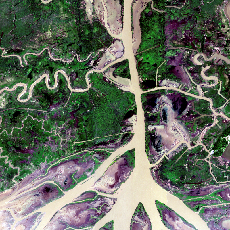
Delta-X: AVIRIS-NG L1B Spectral Radiance Products, MRD, Louisiana, 2021 recent views
National Aeronautics and Space Administration —
This dataset provides Level 1B (L1B) radiance products from NASA's Airborne Visible Infrared Imaging Spectrometer- Next Generation (AVIRIS-NG) instrument acquired... -
Federal
BOREAS Daedalus TMS Level-0 Imagery: Digital Counts in BIL Format recent views
National Aeronautics and Space Administration —
The level-0 Daedalus TMS imagery, along with the other remotely sensed images, was collected to provide spatially extensive information about radiant energy over the... -
Federal
SISTER: Experimental Workflows, Product Generation Environment, and Sample Data, V004 recent views
National Aeronautics and Space Administration —
The Space-based Imaging Spectroscopy and Thermal pathfindER (SISTER) activity originated in support of the NASA Earth System Observatory's Surface Biology and Geology... -
Federal
PROVE Land Cover and Leaf Area of Jornada Experimental Range, New Mexico, 1997 recent views
National Aeronautics and Space Administration —
Field measurement of shrubland ecological properties is important for both site monitoring and validation of remote-sensing information. During the PROVE exercise on... -
Federal
BOREAS Level-0 AOCI Imagery: Digital Counts in BIL Format recent views
National Aeronautics and Space Administration —
The level-0 AOCI imagery, along with the other remotely sensed images, was collected to provide spatially extensive information about radiant energy over the primary...
11 datasets found