
-
Federal
RapidScat Level 2B Climate Ocean Wind Vectors in 12.5km Footprints Version 2.0
National Aeronautics and Space Administration —
This dataset contains the RapidScat Level 2B 12.5km Version 2.0 Climate quality ocean surface wind vectors. The Level 2B wind vectors are binned on a 12.5 km Wind... -
Federal
SPURS-2 Passive Accoustic Listener (PAL) data from ARGO float deployments during the E. Tropical Pacific field campaign
National Aeronautics and Space Administration —
The SPURS (Salinity Processes in the Upper Ocean Regional Study) project is a NASA-funded oceanographic process study and associated field program that aim to... -
Federal
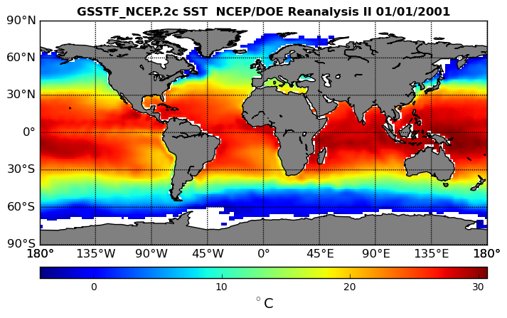
NCEP/DOE Reanalysis II, for GSSTF, 0.25 x 0.25 deg, Daily Grid V3 (GSSTF_NCEP) at GES DISC
National Aeronautics and Space Administration —
These data are the Goddard Satellite-based Surface Turbulent Fluxes Version 3 Dataset recently produced through a MEaSURES funded project led by Dr. Chung-Lin Shie... -
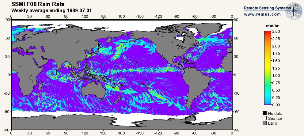
Federal
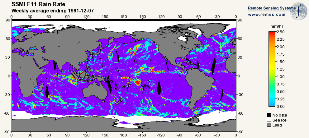
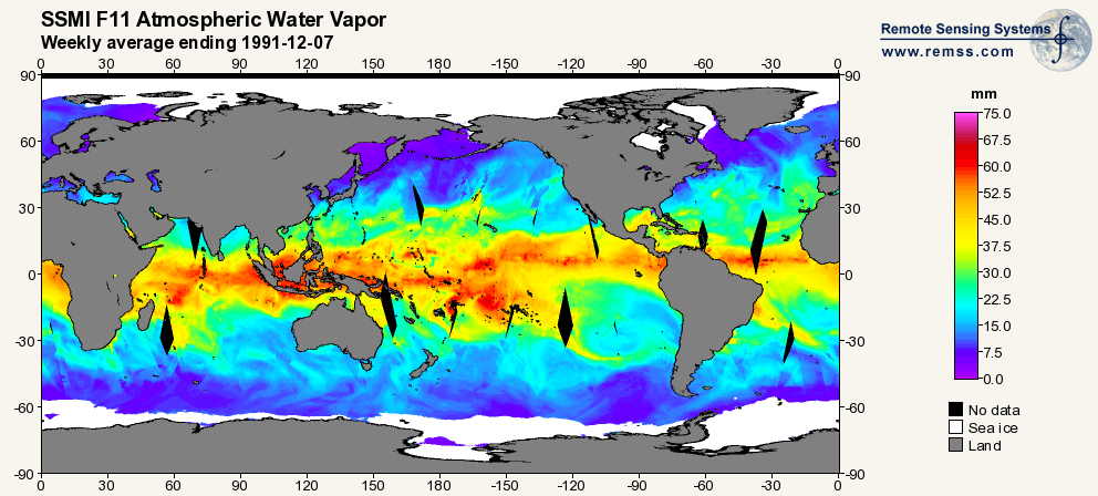
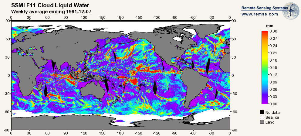
RSS SSM/I OCEAN PRODUCT GRIDS WEEKLY AVERAGE FROM DMSP F11 NETCDF V7
National Aeronautics and Space Administration —
The RSS SSM/I Ocean Product Grids Weekly Average from DMSP F11 netCDF dataset is part of the collection of Special Sensor Microwave/Imager (SSM/I) and Special Sensor... -
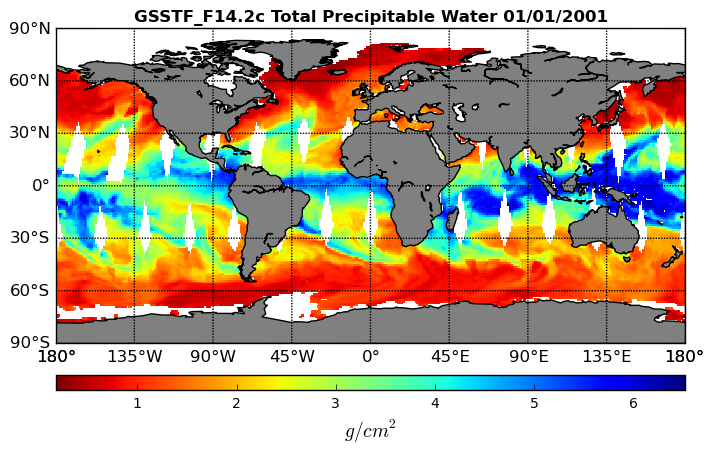
Federal
Goddard Satellite-Based Surface Turbulent Fluxes, 0.25 x 0.25 deg, Daily Grid F14 V3 (GSSTF_F14) at GES DISC
National Aeronautics and Space Administration —
These data are part of the Goddard Satellite-based Surface Turbulent Fluxes Version 3 (GSSTF3) Dataset recently produced through a MEaSURES funded project led by Dr.... -
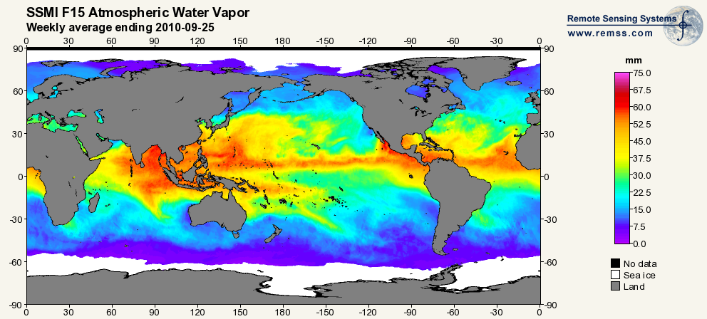
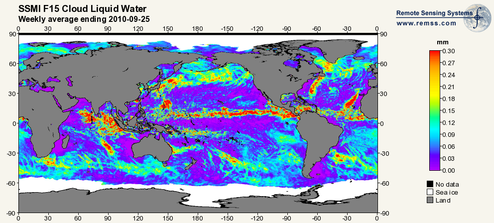
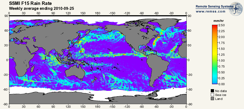
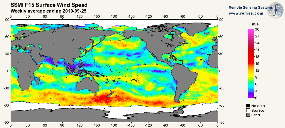
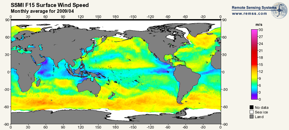
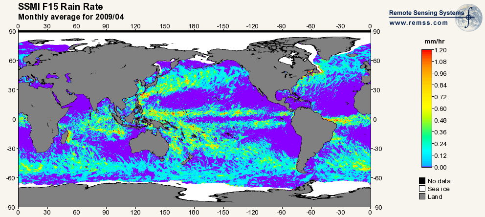
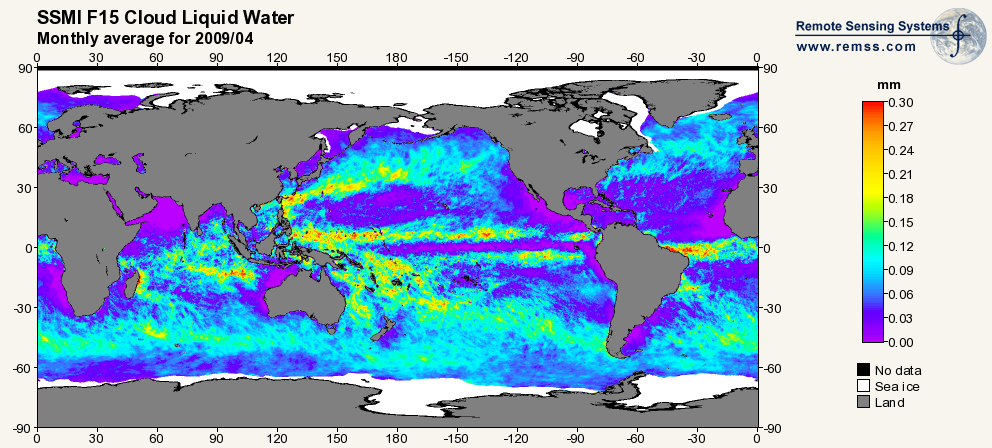
Federal
RSS SSM/I OCEAN PRODUCT GRIDS WEEKLY AVERAGE FROM DMSP F15 NETCDF V7
National Aeronautics and Space Administration —
The RSS SSM/I Ocean Product Grids Weekly Average from DMSP F15 netCDF dataset is part of the collection of Special Sensor Microwave/Imager (SSM/I) and Special Sensor... -
Federal
CYGNSS Level 3 Storm Centric Grid Science Data Record Version 1.0
National Aeronautics and Space Administration —
This dataset contains the Version 1.0 Cyclone Global Navigation Satellite System (CYGNSS) Level 3 Storm Centric Grid (SCG) Science Data Record (SDR) which provides... -
Federal
Goddard Satellite-Based Surface Turbulent Fluxes, 0.25 x 0.25 deg, Daily Grid F10 V3 (GSSTF_F10) at GES DISC
National Aeronautics and Space Administration —
These data are part of the Goddard Satellite-based Surface Turbulent Fluxes Version 3 (GSSTF3) Dataset recently produced through a MEaSURES funded project led by Dr.... -
Federal
Aquarius Official Release Level 3 Wind Speed Standard Mapped Image Descending Mission Cumulative Data V5.0
National Aeronautics and Space Administration —
Aquarius Level 3 ocean surface wind speed standard mapped image data contains gridded 1 degree spatial resolution wind speed data averaged over daily, 7 day, monthly,... -
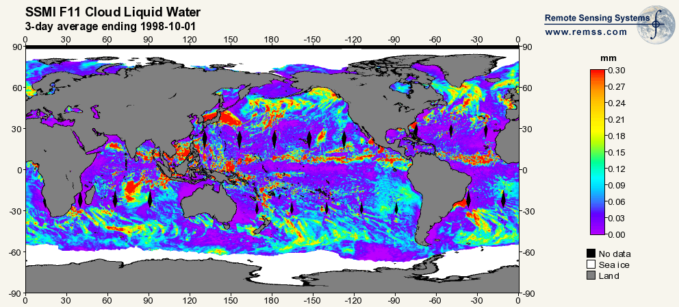
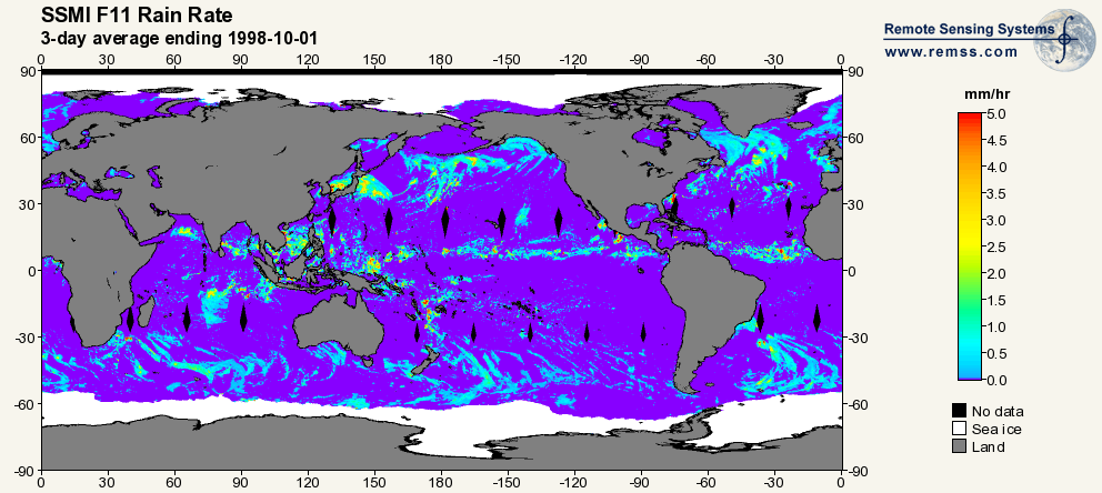
Federal
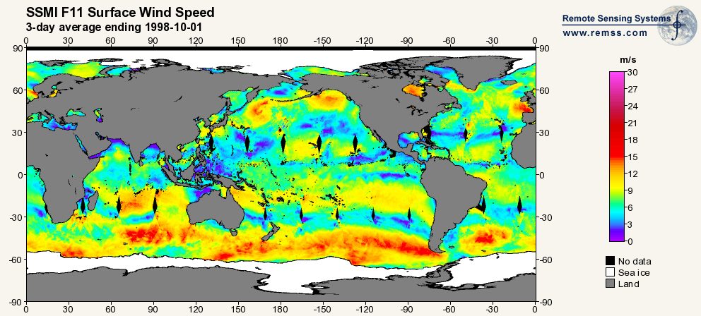
RSS SSM/I OCEAN PRODUCT GRIDS 3-DAY AVERAGE FROM DMSP F11 NETCDF V7
National Aeronautics and Space Administration —
The RSS SSM/I Ocean Product Grids 3-Day Average from DMSP F11 netCDF dataset is part of the collection of Special Sensor Microwave/Imager (SSM/I) and Special Sensor... -
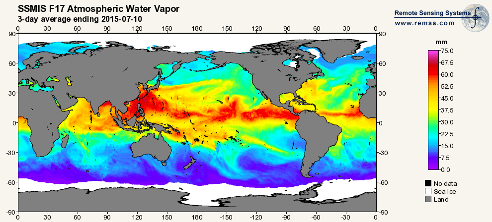
Federal
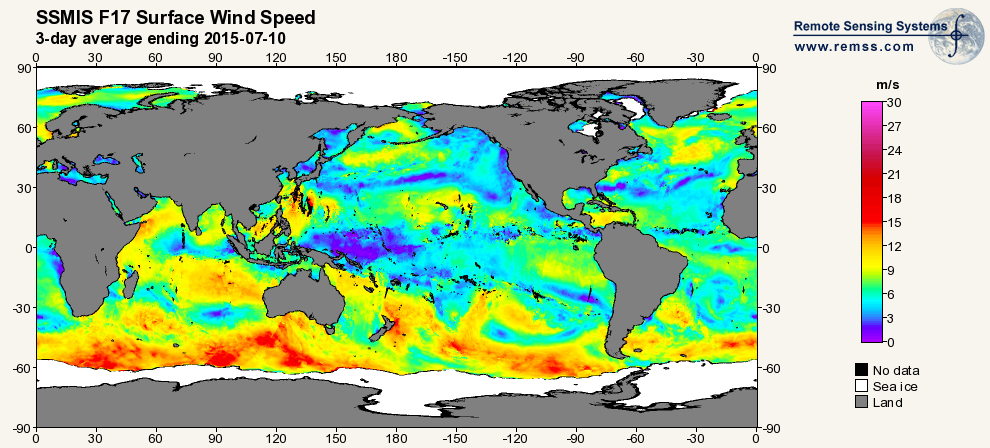
RSS SSMIS OCEAN PRODUCT GRIDS 3-DAY AVERAGE FROM DMSP F17 NETCDF V7
National Aeronautics and Space Administration —
The RSS SSMIS Ocean Product Grids 3-Day Average from DMSP F17 netCDF dataset is part of the collection of Special Sensor Microwave/Imager (SSM/I) and Special Sensor... -
Federal
NOAA CYGNSS Level 2 Science Wind Speed 25-km Product Version 1.1
National Aeronautics and Space Administration —
This dataset contains the Version 1.1 NOAA CYGNSS Level 2 Science Wind Speed Product Version 1.1 which provides the time-tagged and geolocated average wind speed... -
Federal
Aquarius CAP Level 2 Sea Surface Salinity, Wind Speed & Direction Data V5.0
National Aeronautics and Space Administration —
The version 5.0 Aquarius CAP Level 2 product contains the fourth release of the AQUARIUS/SAC-D orbital/swath data based on the Combined Active Passive (CAP)... -
Federal
QuikSCAT Level 2B Ocean Wind Vectors in 12.5km Slice Composites Version 4.1
National Aeronautics and Space Administration —
This dataset contains the latest reprocessed version 4.1 of the Level 2B science-quality ocean surface wind vector retrievals from the QuikSCAT scatterometer. The... -
Federal
TRMM MICROWAVE IMAGER (TMI) WENTZ OCEAN PRODUCTS V3
National Aeronautics and Space Administration —
The TRMM Microwave Imager (TMI) Wentz Ocean Products dataset used the TRMM Microwave Imager (TMI), which is a 5-channel, dual-polarized, passive microwave radiometer.... -
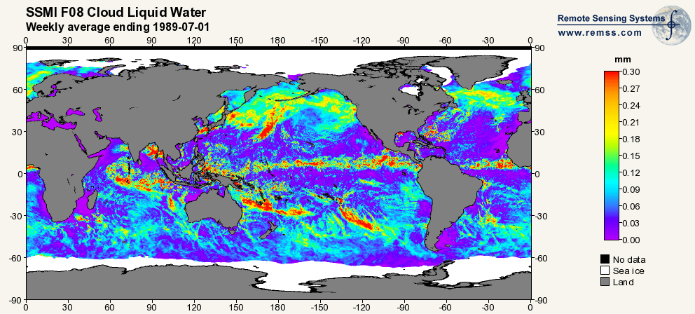
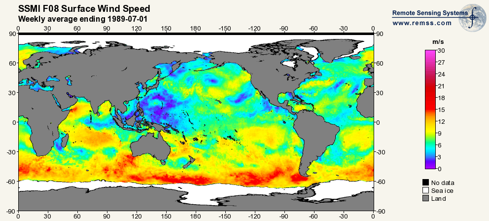
Federal
RSS SSM/I OCEAN PRODUCT GRIDS WEEKLY AVERAGE FROM DMSP F8 NETCDF V7
National Aeronautics and Space Administration —
The RSS SSM/I Ocean Products Grid Weekly Average from DMSP F8 netCDF dataset is part of the collection of Special Sensor Microwave/Imager (SSM/I) and Special Sensor... -
Federal
RapidScat Level 2B Ocean Wind Vectors in 12.5km Slice Composites Version 1.2
National Aeronautics and Space Administration —
This dataset contains the RapidScat Level 2B 12.5km Version 1.2 science-quality ocean surface wind vectors, which are intended as a replacement and continuation of... -
Federal
RSS SSM/I OCEAN PRODUCT GRIDS MONTHLY AVERAGE FROM DMSP F15 NETCDF V7
National Aeronautics and Space Administration —
The RSS SSM/I Ocean Product Grids Monthly Average from DMSP F15 netCDF dataset is part of the collection of Special Sensor Microwave/Imager (SSM/I) and Special Sensor... -
Federal
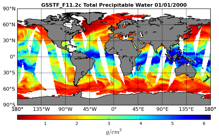
Goddard Satellite-Based Surface Turbulent Fluxes, 1x1 deg Daily Grid, Satellite F11 V2c (GSSTF_F11) at GES DISC
National Aeronautics and Space Administration —
These data are part of the Goddard Satellite-based Surface Turbulent Fluxes Version-2c (GSSTF 2c) Dataset recently produced through a MEaSURES funded project led by... -
Federal
Aquarius Official Release Level 2 Sea Surface Salinity & Wind Speed Data V5.0
National Aeronautics and Space Administration —
The version 5.0 Aquarius Level 2 product is the official third release of the orbital/swath data from AQUARIUS/SAC-D mission. The Aquarius Level 2 data set contains...

Official websites use .gov
A
.gov website belongs to an official government
organization in the United States.
Secure .gov websites use HTTPS
A
lock (
) or https:// means you’ve safely connected to
the .gov website. Share sensitive information only on official,
secure websites.