
-
Federal
Combined GPS Broadcast Ephemeris Data (30-second sampling, hourly files) from NASA CDDIS
National Aeronautics and Space Administration —
This dataset consists of ground-based Global Navigation Satellite System (GNSS) Combined Broadcast Ephemeris Data (hourly files of all distinct navigation messages... -
Federal
Shuttle Radar Topography Mission (SRTM) Images
National Aeronautics and Space Administration —
Culminating more than four years of processing data, NASA and the National Geospatial-Intelligence Agency (NGA) have completed Earth's most extensive global... -
Federal
Lunar Sample Atlas
National Aeronautics and Space Administration —
The Lunar Sample Atlas provides pictures of the Apollo samples taken in the Lunar Sample Laboratory, full-color views of the samples in microscopic thin-sections,... -
Federal
Ground-Based Global Navigation Satellite System (GNSS) Quasi-Zenith Satellite System (QZSS) Broadcast Ephemeris Data (30-second sampling, hourly files) from NASA CDDIS
National Aeronautics and Space Administration —
This dataset consists of ground-based Global Navigation Satellite System (GNSS) Quasi-Zenith Satellite System (QZSS) Broadcast Ephemeris Data (hourly files) from the... -
Federal
MODIS/Terra+Aqua Land Cover Type Yearly L3 Global 500m SIN Grid V061
National Aeronautics and Space Administration —
The Terra and Aqua combined Moderate Resolution Imaging Spectroradiometer (MODIS) Land Cover Type (MCD12Q1) Version 6.1 data product provides global land cover types... -
Federal
Potential Impacts of Climate Change on World Food Supply: Datasets from a Major Crop Modeling Study
National Aeronautics and Space Administration —
The Potential Impacts of Climate Change on World Food Supply: Datasets from a Major Crop Modeling Study contain projected country and regional changes in grain crop... -
Federal
ECOSTRESS Gridded Downscaled Meteorology Instantaneous L3 Global 70 m V002
National Aeronautics and Space Administration —
The ECOsystem Spaceborne Thermal Radiometer Experiment on Space Station (ECOSTRESS) mission measures the temperature of plants to better understand how much water... -
Federal
Post-fire Recovery of Soil Organic Layer Carbon in Canadian Boreal Forests, 2015-2018
National Aeronautics and Space Administration —
This dataset provides site moisture, soil organic layer thickness, soil organic carbon, nonvascular plant functional group, stand dominance, ecozone, time-after-fire,... -
Federal
VIIRS/NPP Land Surface Temperature/Emissivity Daily L3 Global 1km SIN Grid Day V001
National Aeronautics and Space Administration —
The NASA/NOAA Suomi National Polar-orbiting Partnership (Suomi NPP) Visible Infrared Imaging Radiometer Suite (VIIRS) Land Surface Temperature and Emissivity... -
Federal
VIIRS/NPP Vegetation Indices Monthly L3 Global 1km SIN Grid V001
National Aeronautics and Space Administration —
The NASA/NOAA Suomi National Polar-orbiting Partnership (Suomi NPP) Visible Infrared Imaging Radiometer Suite (VIIRS) Vegetation Indices (VNP13A3) Version 1 data... -
Federal
AMAZE-08 Aerosol Characterization and Meteorological Data, Central Amazon Basin: 2008
National Aeronautics and Space Administration —
This data set provides measurements from the Amazonian Aerosol Characterization Experiment (AMAZE-08) carried out during the wet season from February 4 to March 21,... -
Federal
Updated Nearby Galaxy Catalog
National Aeronautics and Space Administration —
This table contains an all-sky catalog of 869 nearby galaxies having individual distance estimates within 11 Mpc or corrected radial velocities relative to the Local... -
Federal
Effects of Climate Change on Global Food Production from SRES Emissions and Socioeconomic Scenarios
National Aeronautics and Space Administration —
The Effects of Climate Change on Global Food Production from SRES Emissions and Socioeconomic Scenarios is an update to a major crop modeling study by the NASA... -
Federal
SARP 2019 Data
National Aeronautics and Space Administration —
SARP_2019_Data is the data collected onboard the NASA DC-8 aircraft during the 2019 deployment of the Student Airborne Research Program (SARP) mission. Data... -
Federal
Leaf Area Index Maps at 30-m Resolution, VALERI Site, Larose, Canada
National Aeronautics and Space Administration —
This data set provide local LAI maps for the Larose (Ontario) site in Canada. These derived maps may also be useful for validating other LAI maps over this same site... -
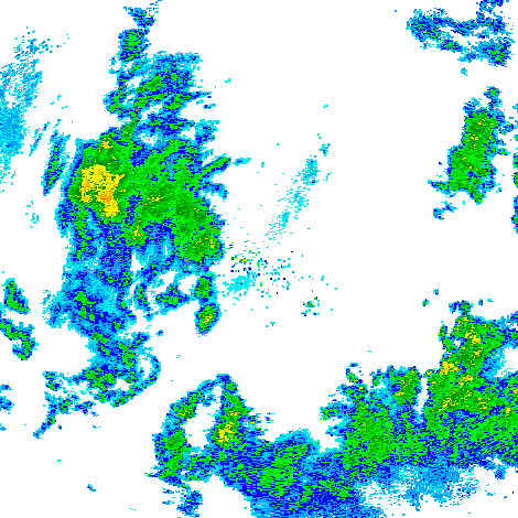
Federal
GPM GROUND VALIDATION NEXRAD LEVEL II KDVN IFLOODS V1
National Aeronautics and Space Administration —
The GPM Ground Validation Next Generation Weather Radar (NEXRAD) Level II IFloodS datasets were collected from four sites (see Table 1) from March 29, 2013 to June... -
Federal
BOREAS TE-12 Leaf Optical Data for SSA Species
National Aeronautics and Space Administration —
The BOREAS TE-12 team collected several data sets in support of its efforts to characterize and interpret information on the reflectance, transmittance, and gas... -
Federal
VLA Goulds Belt Survey Taurus-Auriga Complex Source Catalog
National Aeronautics and Space Administration —
This table contains results from a multi-epoch radio study of the Taurus-Auriga complex made with the Karl G. Jansky Very Large Array (JVLA) at frequencies of 4.5 GHz... -
Federal
ABoVE: Light-Curve Modelling of Gridded GPP Using MODIS MAIAC and Flux Tower Data
National Aeronautics and Space Administration —
This dataset contains gridded estimations of daily ecosystem Gross Primary Production (GPP) in grams of carbon per day at a 1 km2 spatial resolution over Alaska and... -
Federal
ROSAT All-Sky Survey and SDSS DR5 Sample of X-Ray Emitting AGN
National Aeronautics and Space Administration —
This table contains further results of a program aimed at yielding ~ 104 fully characterized optical identifications of ROSAT X-ray sources. The program employs X-ray...

Official websites use .gov
A
.gov website belongs to an official government
organization in the United States.
Secure .gov websites use HTTPS
A
lock (
) or https:// means you’ve safely connected to
the .gov website. Share sensitive information only on official,
secure websites.