

11 datasets found for "26o로또유튜브디비II❤️텔WB7000-"
-
Federal
THIR/Nimbus-5 Level 1 Meteorological Radiation Data at 6.7 microns V001 (THIRN5L1CH67) at GES DISC
National Aeronautics and Space Administration —
THIRN5L1CH67 is the Nimbus-5 Temperature-Humidity Infrared Radiometer (THIR) Level 1 Meteorological Radiation Data at 6.7 microns product and contains radiances... -
Federal
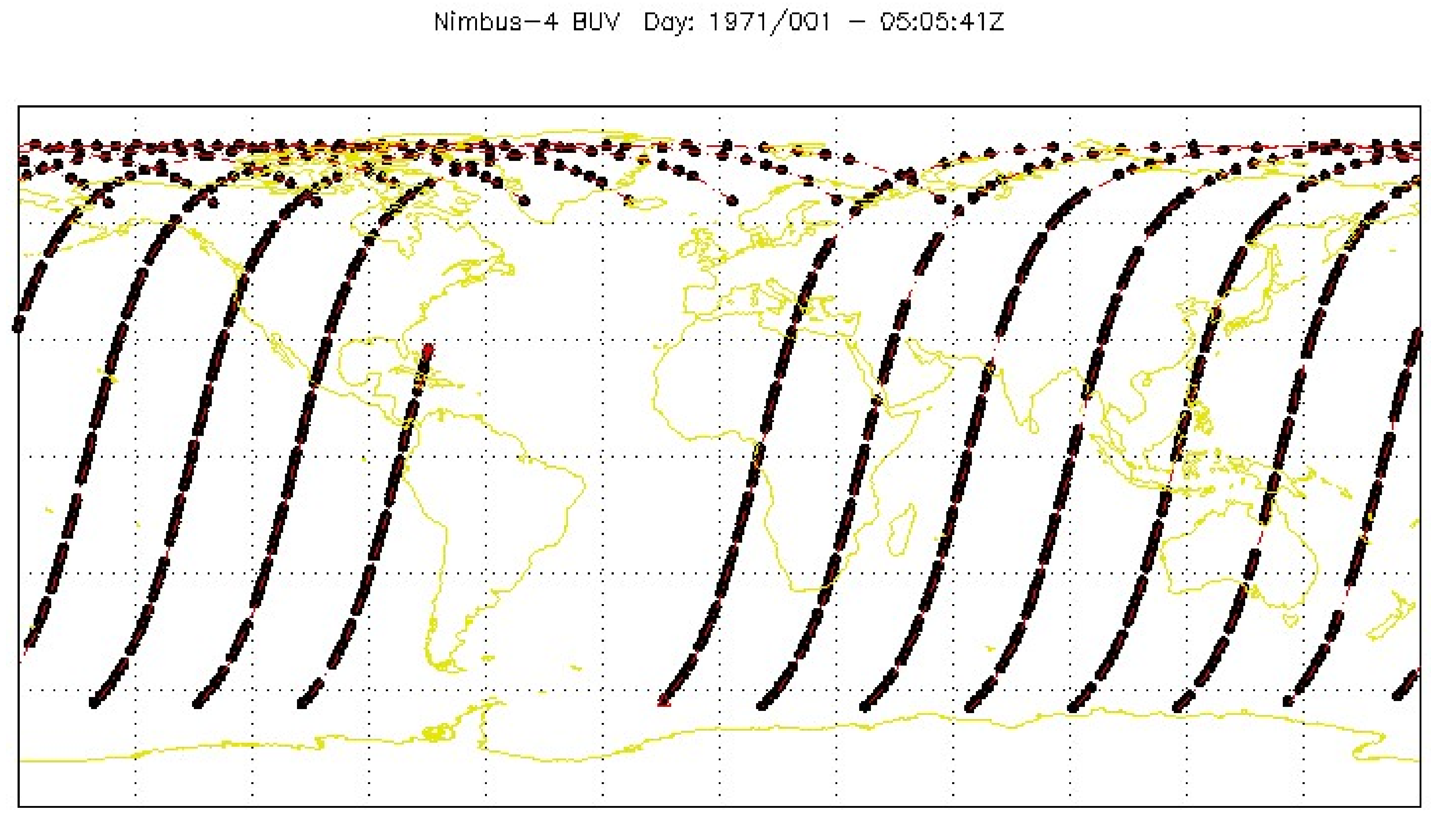
BUV/Nimbus-4 Dark Current Study Working Data V001 (BUVN4L1DCW) at GES DISC
National Aeronautics and Space Administration —
The Nimbus-4 BUV Level-1 Dark Current Study Working Data is derived from the BUV Level 1 Radiance (RUT) product and contains the geophysical indices and... -
Federal
SARP-East 2023 Data
National Aeronautics and Space Administration —
SARP_2023_East_Data is the ground site data and data collected onboard the Dynamic Aviation B200 aircraft during the 2023 deployment of the Student Airborne Research... -
Federal
DXC'10 Results
National Aeronautics and Space Administration —
Results for the DXC'10 Industrial Track. -
Federal
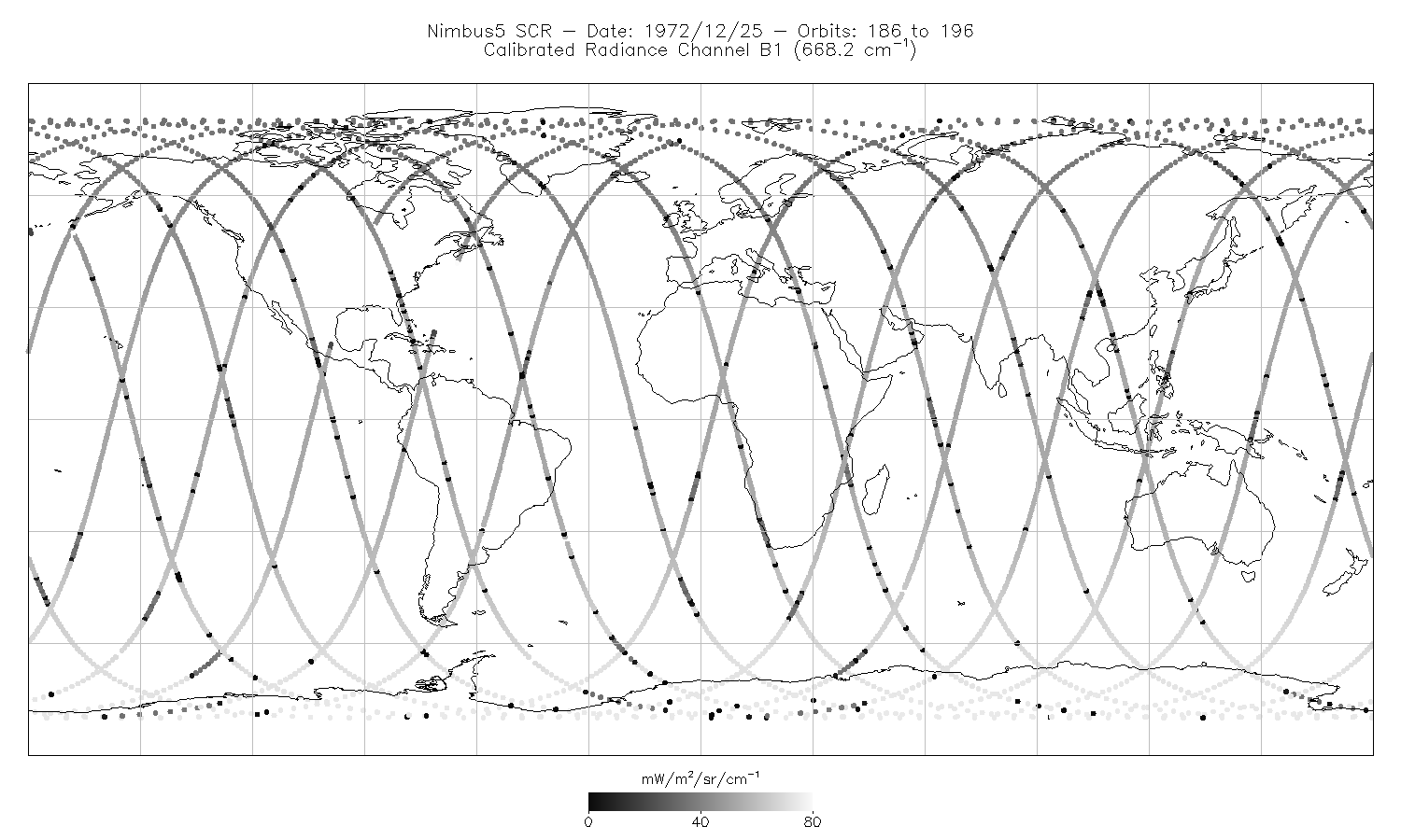
SCR/Nimbus-5 Level 1 Calibrated Radiances V001 (SCRN5L1RAD) at GES DISC
National Aeronautics and Space Administration —
SCRN5L1RAD is the Nimbus-5 Selective Chopper Radiometer (SCR) Level 1 Calibrated Radiances data product. The calibrated radiances are measured at 16 channels from 2.3... -
Federal
SAMS/Nimbus-7 Level 1 Radiance Data V001 (SAMSN7L1RAT) at GES DISC
National Aeronautics and Space Administration —
SAMSN7L1RAT is the gridded Nimbus-7 Stratospheric and Mesospheric Sounder (SAMS) Level 1 Radiance Data Product. The radiances were selected to derive gas... -
Federal
Daily Great Lakes Ice Concentration, 1973 Onward, Version 1
National Aeronautics and Space Administration —
This data set consists of daily gridded lake ice concentration for the Laurentian Great Lakes from the NOAA Great Lakes Environmental Research Laboratory (GLERL). The... -
Federal
CYGNSS Level 1 Climate Data Record Version 1.2
National Aeronautics and Space Administration —
This Level 1 (L1) dataset contains the Version 1.2 Climate Data Record (CDR) of the geo-located Delay Doppler Maps (DDMs) calibrated into Power Received (Watts) and... -
Federal
GPM Ground Validation NASA EPFL-LTE Parsivel DSD Data Lausanne, Switzerland V1
National Aeronautics and Space Administration —
The GPM Ground Validation NASA EPFL-LTE Parsivel DSD Data Lausanne, Switzerland dataset consists of a network of 16 Parsivel disdrometers deployed on the Ecole... -
Federal
HIRENASD Beam FEM
National Aeronautics and Space Administration —
This contains attempts to create BEAM FEM model. I have started a Blog to discuss this... please put your comments there and I will attempt to keep everything... -
Federal
CYGNSS Level 1 Science Data Record Version 3.1
National Aeronautics and Space Administration —
This Level 1 (L1) dataset contains the Version 3.1 geo-located Delay Doppler Maps (DDMs) calibrated into Power Received (Watts) and Bistatic Radar Cross Section...
11 datasets found for "26o로또유튜브디비II❤️텔WB7000-"