

10 datasets found for "毕设weixin068电影院订票选座小程序毕业设计✅项目合作 二开均可 TG:saolei44✅.EWoCbzgGStVEnl"
-
Federal
West Africa Coastal Vulnerability Mapping: Subset of Global Mammal and Amphibian Richness Grids, 2015 Release
National Aeronautics and Space Administration —
The West Africa Coastal Vulnerability Mapping: Subset of Global Mammal and Amphibian Richness Grids, 2015 Release was extracted from the NASA Socioeconomic Data and... -
Federal
ACE Electron Proton Alpha Monitor (EPAM) CA60 PHA Ion SEP Event Matrix Data, 17 min Averages
National Aeronautics and Space Administration —
Pulse Height Analyzer matrix data for a single Solar Energetic Particle event from the ACE:EPAM instrument. Using the PHA data, one can quickly and very accurately... -
Federal
Improving Distributed Diagnosis Through Structural Model Decomposition
National Aeronautics and Space Administration —
Complex engineering systems require efficient fault diagnosis methodologies, but centralized ap- proaches do not scale well, and this motivates the development of... -
Federal
SMAPVEX19-22 Millbrook Temporary Soil Moisture Network V001
National Aeronautics and Space Administration —
These data consist of soil moisture sensor, soil temperature and air temperature measurements recorded by 25 temporary stations in the Millbrook (MB) experiment... -
Federal
ROSETTA-ORBITER 67P RPCIES 3 ESC3 V1.0
National Aeronautics and Space Administration —
This dataset contains CALIBRATED DATA of the Rosetta RPCIES instrument taken during the comet escort 3 phase (ESC3). The target of this phase was comet 67P/CHURYUMOV-... -
Federal
ROSETTA-ORBITER 67P RPCMIP 3 EXT2 V1.0
National Aeronautics and Space Administration —
This archive contains calibrated data from the RPC-MIP instrument onboard ROSETTA Orbiter, acquired during the ROSETTA EXTENSION part 2 mission phase. The primary... -
Federal
ROSETTA-ORBITER-EARTH/CAL-NAVCAM-2-EAR2-V1.0
National Aeronautics and Space Administration —
This dataset contains RAW DATA of the EARTH 2 Swingby Phase from 16 September 2007 until 22 January 2008. The closest approach (CA) took place on 13 November 2007 -
Federal
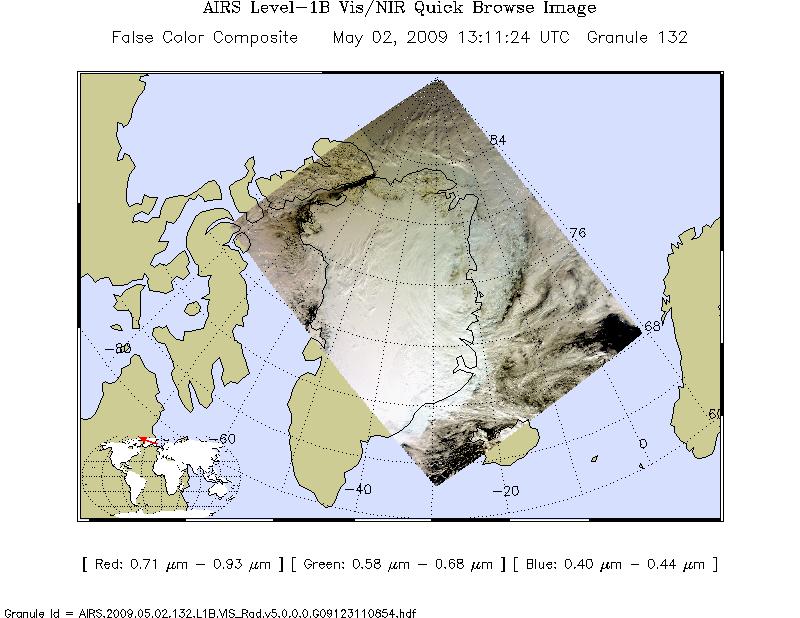
AIRS/Aqua L1B Near Real Time (NRT) Visible/Near Infrared (VIS/NIR) geolocated and calibrated radiances V005 (AIRVBRAD_NRT) at GES DISC
National Aeronautics and Space Administration —
The AIRS Visible/Near Infrared (VIS/NIR) Level 1B Near Real Time (NRT) product (AIRVBRAD_NRT_005) differs from the routine product (AIRVBRAD_005) in 2 ways to meet... -
Federal
INTEX-A AIRMAP data
National Aeronautics and Space Administration —
Intercontinental Chemical Transport Experiment - North America Phase A (INTEX-A) is an integrated atmospheric field experiment performed over North America. The study...
10 datasets found for "毕设weixin068电影院订票选座小程序毕业设计✅项目合作 二开均可 TG:saolei44✅.EWoCbzgGStVEnl"