
-
Federal
ADVANCED MICROWAVE SOUNDING UNIT-A (AMSU-A) SWATH FROM NOAA-16 V1
National Aeronautics and Space Administration —
AMSU-A, the Advanced Microwave Sounding Unit, is a 15-channel passive microwave radiometer used to profile atmospheric temperature and moisture from the earth's... -
Federal
GOES-R PLT Lightning Instrument Package (LIP) V1
National Aeronautics and Space Administration —
The GOES-R PLT Lightning Instrument Package (LIP) dataset consists of electrical field measurements of lightning and navigation data collected by the Lightning... -
Federal
NASA Short-term Prediction Research and Transition (SPoRT) Land Information System (LIS)
National Aeronautics and Space Administration —
The Short-term Prediction Research and Transition Land Information System (SPoRT-LIS) is a gridded observations-driven run of the Noah land surface model (LSM) in... -
Federal
Hurricane and Severe Storm Sentinel (HS3) Statistical Hurricane Intensity Prediction Scheme (SHIPS) Intensity V1
National Aeronautics and Space Administration —
The Hurricane and Severe Storm Sentinel (HS3) Statistical Hurricane Intensity Prediction Scheme (SHIPS) Intensity dataset was obtained from March 18, 2014 through... -
Federal
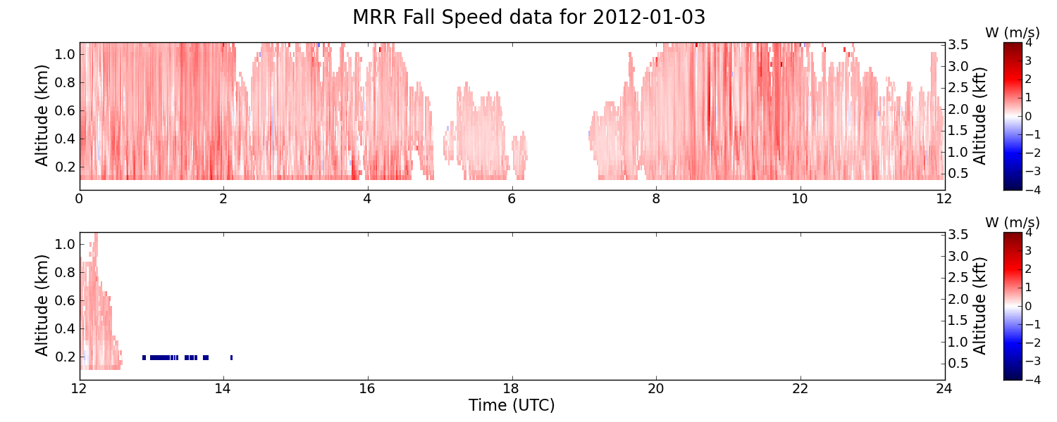
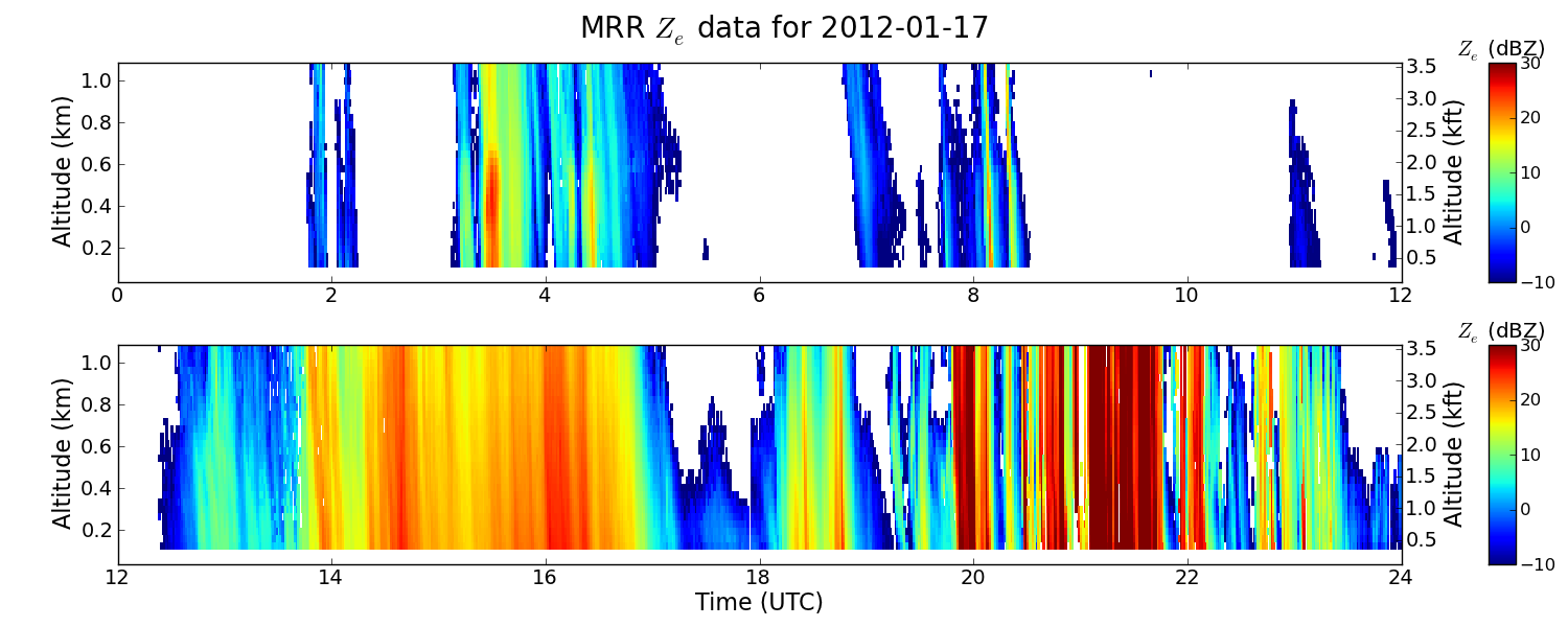
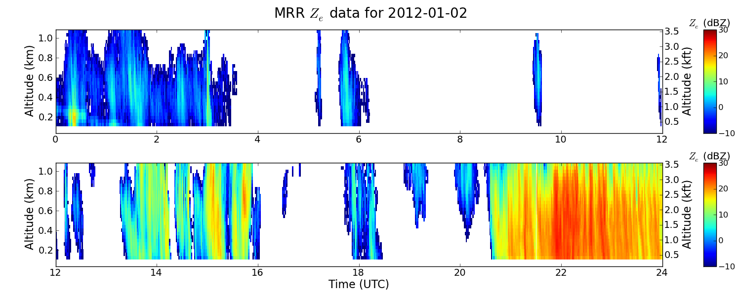
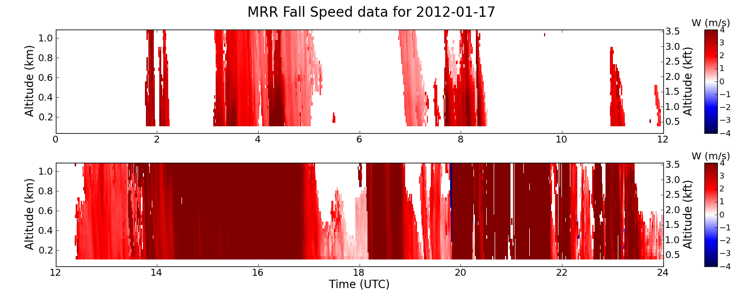
SBU Micro Rain Radar 2 (MRR2) IMPACTS V1
National Aeronautics and Space Administration —
The SBU Micro Rain Radar 2 (MRR-2) IMPACTS dataset consists of reflectivity, Doppler velocity, signal-to-noise ratio, spectral width, droplet size, Liquid Water... -
Federal
Advanced Vertical Atmospheric Profiling System Dropsondes (AVAPS) IMPACTS V1
National Aeronautics and Space Administration —
The Advanced Vertical Atmospheric Profiling System (AVAPS) IMPACTS dataset consists of vertical atmospheric profile measurements collected by the Advanced Vertical... -
Federal
SEDIMENT ANALYSIS NETWORK FOR DECISION SUPPORT (SANDS) LANDSAT GEOTIFF V1
National Aeronautics and Space Administration —
The Sediment Analysis Network for Decision Support (SANDS) Landsat Geotiff dataset includes images for sediment redistribution after a hurricane on the coast of the... -
Federal
GPM GROUND VALIDATION NASA S-BAND DUAL POLARIMETRIC (NPOL) DOPPLER RADAR IFLOODS
National Aeronautics and Space Administration —
The GPM Ground Validation NASA S-Band Dual Polarimetric (NPOL) Doppler Radar IFloodS dataset was collected from April 30 to June 16, 2013 near Traer, Iowa as part of... -
Federal
GOES-R PLT Southern Ontario Lightning Mapping Array (LMA) V1
National Aeronautics and Space Administration —
The GOES-R PLT Southern Ontario Lightning Mapping Array (LMA) dataset consists of total lightning data measured from the Southern Ontario LMA (SOLMA) network during... -
Federal
GPM GROUND VALIDATION TWO-DIMENSIONAL VIDEO DISDROMETER (2DVD) NSSTC V1
National Aeronautics and Space Administration —
The GPM Ground Validation Two-Dimensional Video Disdrometer (2DVD) NSSTC dataset was collected by the Two-Dimensional Video Disdrometer (2DVD), which uses two high... -
Federal
GPM GROUND VALIDATION ENVIRONMENT CANADA (EC) MICRO RAIN RADAR (MRR) GCPEX V2
National Aeronautics and Space Administration —
The GPM Ground Validation Environment Canada (EC) Micro Rain Radar (MRR) GCPEx V2 dataset was collected from the Micro Rain Radar (MRR) during the GPM Cold-season... -
Federal
GPM GROUND VALIDATION DUAL-FREQUENCY DUAL-POLARIZED DOPPLER RADAR (D3R) GCPEX V1
National Aeronautics and Space Administration —
The GPM Ground Validation Dual-frequency Dual-polarized Doppler Radar (D3R) GCPEx and IFloodS data sets contain radar reflectivity and doppler velocity measurements.... -
Federal
Advanced Microwave Precipitation Radiometer (AMPR) ALOFT
National Aeronautics and Space Administration —
The Advanced Microwave Precipitation Radiometer (AMPR) ALOFT dataset consists of brightness temperature measurements collected by the Advanced Microwave Precipitation... -
Federal
CAMEX-2 ER-2 Doppler Radar (EDOP) V1
National Aeronautics and Space Administration —
CAMEX-2 ER-2 Doppler Radar (EDOP) V1 -
Federal
New York State Mesonet IMPACTS V1
National Aeronautics and Space Administration —
The New York State Mesonet IMPACTS dataset is a browse-only dataset and consists of temperature, wind, wind direction, mean sea level pressure, precipitation, and... -
Federal
GOES-R PLT Kennedy Space Center Lightning Mapping Array (LMA) V1
National Aeronautics and Space Administration —
The GOES-R PLT Kennedy Space Center Lightning Mapping Array (LMA) dataset consists of total lightning data measured from the Kennedy Space Center LMA (KSCLMA) network... -
Federal
ADVANCED MICROWAVE SOUNDING UNIT-A (AMSU-A) SWATH FROM NOAA-15 V1
National Aeronautics and Space Administration —
AMSU-A, the Advanced Microwave Sounding Unit, is a 15-channel passive microwave radiometer used to profile atmospheric temperature and moisture from the earth's... -
Federal
GPM Ground Validation NEXRAD Level III KDMX IFloodS V1
National Aeronautics and Space Administration —
The GPM Ground Validation NEXRAD Level III KDMX IFloodS dataset contain precipitation products derived from selected NEXt Generation Weather RADar system (NEXRAD)...

Official websites use .gov
A
.gov website belongs to an official government
organization in the United States.
Secure .gov websites use HTTPS
A
lock (
) or https:// means you’ve safely connected to
the .gov website. Share sensitive information only on official,
secure websites.