
-
Federal
NARSTO Pacific 2001 Air Quality Study (PAC2001) Golden Ears Gaseous and Particulate Matter (PM) Data
National Aeronautics and Space Administration —
NARSTO_PAC2001_GOLDEN_EARS_GAS_PM_DATA is the North American Research Strategy for Tropospheric Ozone (NARSTO) Pacific 2001 Air Quality Study (PAC2001) Golden Ears... -
Federal
SMALL MAIN-BELT ASTEROID SPECTROSCOPIC SURVEY, PHASE II
National Aeronautics and Space Administration —
This data set contains visible-wavelength (0.435-0.925 micron) spectra for 1341 main-belt asteroids observed during the second phase of the Small Main-belt Asteroid... -
Federal
AIRSAR_TOPSAR_DEM
National Aeronautics and Space Administration —
AIRSAR topographic SAR digital elevation model product -
Federal
In-situ Air Temperature and Relative Humidity in Greenbelt, MD, 2013-2015
National Aeronautics and Space Administration —
This data set describes the temperature and relative humidity at 12 locations around Goddard Space Flight Center in Greenbelt MD at 15 minute intervals between... -
Federal
NARSTO EPA Supersite (SS) Pittsburgh Gas Concentration and Particulate matter (PM) Physical Properties Data
National Aeronautics and Space Administration —
NARSTO_EPA_SS_PITTSBURGH_GAS_PM_PROPERTY_DATA is the North American Research Strategy for Tropospheric Ozone (NARSTO) Environmental Protection Agency (EPA) Supersite... -
Federal
Landsat-based Phenology and Tree Ring Characterization, Eastern US Forests, 1984-2013
National Aeronautics and Space Administration —
This data set provides a 30-year record of Landsat TM and ETM+ derived forest phenology and the results of tree ring analyses for annual wood production and nitrogen... -
Federal
S-PASS (S-Band Polarization All-Sky Survey) 2.3-GHz Source Catalog
National Aeronautics and Space Administration —
The S-band Polarization All-Sky Survey (S-PASS) has observed the entire southern sky using the 64-meter Parkes radio telescope at 2.3 GHz with an effective bandwidth... -
Federal
NARSTO EPA Supersite (SS) Pittsburgh Particulate Matter (PM) Composition Data
National Aeronautics and Space Administration —
NARSTO_EPA_SS_PITTSBURGH_PM_COMPOSITION_DATA is the North American Research Strategy for Tropospheric Ozone (NARSTO) Environmental Protection Agency (EPA) Supersite... -
Federal
SAFARI 2000 AERONET-derived Diffuse Spectral Irradiance for Eight Core Sites
National Aeronautics and Space Administration —
This data set contains monthly mean values of diffuse irradiance fraction [f(Ediff), or ratio of diffuse-to-total irradiance] at ground level for a 30-degree solar... -
Federal
SAFARI 2000 BRDF Measurements at Sua Pan and Skukuza, Dry Season 2000
National Aeronautics and Space Administration —
The Jet Propulsion Laboratory's (JPL) Portable Apparatus for Rapid Acquisition of Bidirectional Observation of the Land and Atmosphere (PARABOLA), version III,... -
Federal
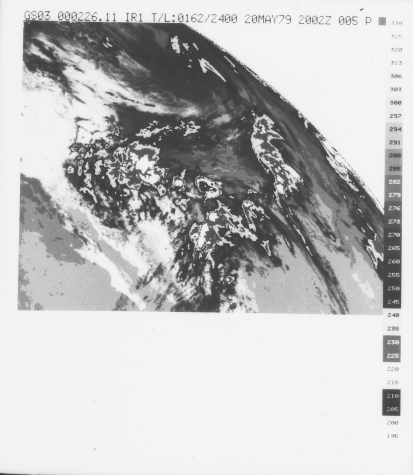
VISSR/GOES-3 Infrared Imagery on 70mm Film V001 (VISSRGOES3IMIR) at GES DISC
National Aeronautics and Space Administration —
VISSRGOES3IMIR is the Visible Infrared Spin-Scan Radiometer (VISSR) Infrared Imagery on 70mm Film data product from the third Geostationary Operational Environmental... -
Federal
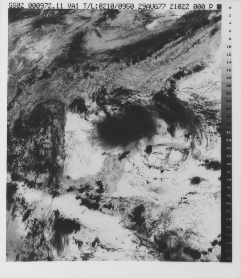
VISSR/GOES-2 Visible Imagery on 70mm Film V001 (VISSRGOES2IMVIS) at GES DISC
National Aeronautics and Space Administration —
VISSRGOES2IMVIS is the Visible Infrared Spin-Scan Radiometer (VISSR) Visible Imagery on 70mm Film data product from the second Geostationary Operational Environmental... -
Federal
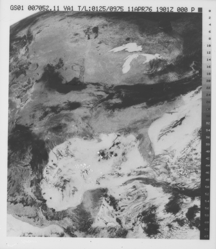
VISSR/GOES-1 Visible Imagery on 70mm Film V001 (VISSRGOES1IMVIS) at GES DISC
National Aeronautics and Space Administration —
VISSRGOES1IMVIS is the Visible Infrared Spin-Scan Radiometer (VISSR) Visible Imagery on 70mm Film data product from the first Geostationary Operational Environmental... -
Federal
NARSTO EPA_SS_HOUSTON Differential Mobility Analyzer Data
National Aeronautics and Space Administration —
The NARSTO_EPA_SS_HOUSTON_DMA_DATA measurements consist of aerosol size distributions and number concentrations collected in Houston, Texas, beginning in August 2000... -
Federal
DISCOVER-AQ Texas Deployment Texas Commission on Environmental Quality Ground Site Data
National Aeronautics and Space Administration —
DISCOVERAQ_Texas_Ground_TCEQ_Data contains data collected by the Texas Commission on Environmental Quality (TCEQ) at various ground sites around the study area,... -
Federal
NARSTO EPA Supersite (SS) Baltimore, Johns Hopkins University Meteorolgical Data
National Aeronautics and Space Administration —
The NARSTO_EPA_SS_BALTIMORE_JHU_MET_DATA is the North American Research Strategy for Tropospheric Ozone (NARSTO) Environmental Protection Agency (EPA) Supersite (SS)... -
Federal
LISTOS Surface Mobile Platform In-Situ Data
National Aeronautics and Space Administration —
LISTOS_SurfaceMobile_InSitu_Data is the Long Island Sound Tropospheric Ozone Study (LISTOS) surface mobile data collected via mobile platforms during the LISTOS field... -
Federal
SCOAPE Balloon and Ozonesondes Data
National Aeronautics and Space Administration —
SCOAPE_Sondes_Data is the NO2-sonde and ozonesonde data collected during the Satellite Coastal and Oceanic Atmospheric Pollution Experiment (SCOAPE). Data were... -
Federal
FAST Time-of-Flight Energy, Angle, Mass Spectrograph (TEAMS) Experiment Survey, Key Parameter (K0), PT5S Data
National Aeronautics and Space Administration —
Data are derived from the FAST Time-of-flight Energy Angle Mass Spectrograph, TEAMS, Instrument that determines 3-Dimensional Distribution Functions of individual Ion...

Official websites use .gov
A
.gov website belongs to an official government
organization in the United States.
Secure .gov websites use HTTPS
A
lock (
) or https:// means you’ve safely connected to
the .gov website. Share sensitive information only on official,
secure websites.