

2,429 datasets found for "38l로또해킹DBl텔레DBKALI§⊆"
-
Federal
COSMOS Photometry Catalog January 2006
National Aeronautics and Space Administration —
COSMOS is an astronomical survey designed to probe the formation and evolution of galaxies as a function of cosmic time (redshift) and large scale structural... -
Federal
9C 15-GHz Ryle Telescope Survey of VSA Fields Source Catalog
National Aeronautics and Space Administration —
The fields chosen for the first observations of the cosmic microwave background (CMB) with the Very Small Array (VSA) have been surveyed with the Ryle Telescope at 15... -
Federal
TIMED Global Ultraviolet Imager (GUVI) Airglow Flux 14-day Movies, at Wavelength LBH1 in South Polar Projection
National Aeronautics and Space Administration —
GUVI measures FUV Airglow in five Spectral Bands: the atomic HI Lyman-alpha Band, 121.6 nm, two atomic Oxygen OI Bands, 130.4 nm and 135.6 nm, and the molecular... -
Federal
STEREO-B/SECCHI/Cor1 FITS data
National Aeronautics and Space Administration —
The COR1 telescope is the inner coronagraph of the Sun Earth Connection Coronal and Heliospheric Investigation (SECCHI) instrument suite aboard the twin Solar... -
Federal
RENU2 Electron Retarding Potential Analyzer (ERPA) Thermal Electron Temperature (Sub), (H0), 0.5 ms Data
National Aeronautics and Space Administration —
RENU2 Electron Retarding Potential Analyzer (ERPA) Thermal Electron Temperature (Sub) -
Federal
KDTX NEXRAD IMPACTS V1
National Aeronautics and Space Administration —
The KDTX NEXRAD IMPACTS dataset consists of Next Generation Weather Radar (NEXRAD) Level II surveillance data that were collected at 31 NEXRAD sites from January 1 to... -
Federal
GPM Ground Validation Met One Rain Gauge Pairs Wallops Flight Facility (WFF) V1
National Aeronautics and Space Administration —
The GPM Ground Validation Met One Rain Gauge Pairs Wallops Flight Facility (WFF) dataset contains rain rate data from 4 rain gauge networks located in Virginia and... -
Federal
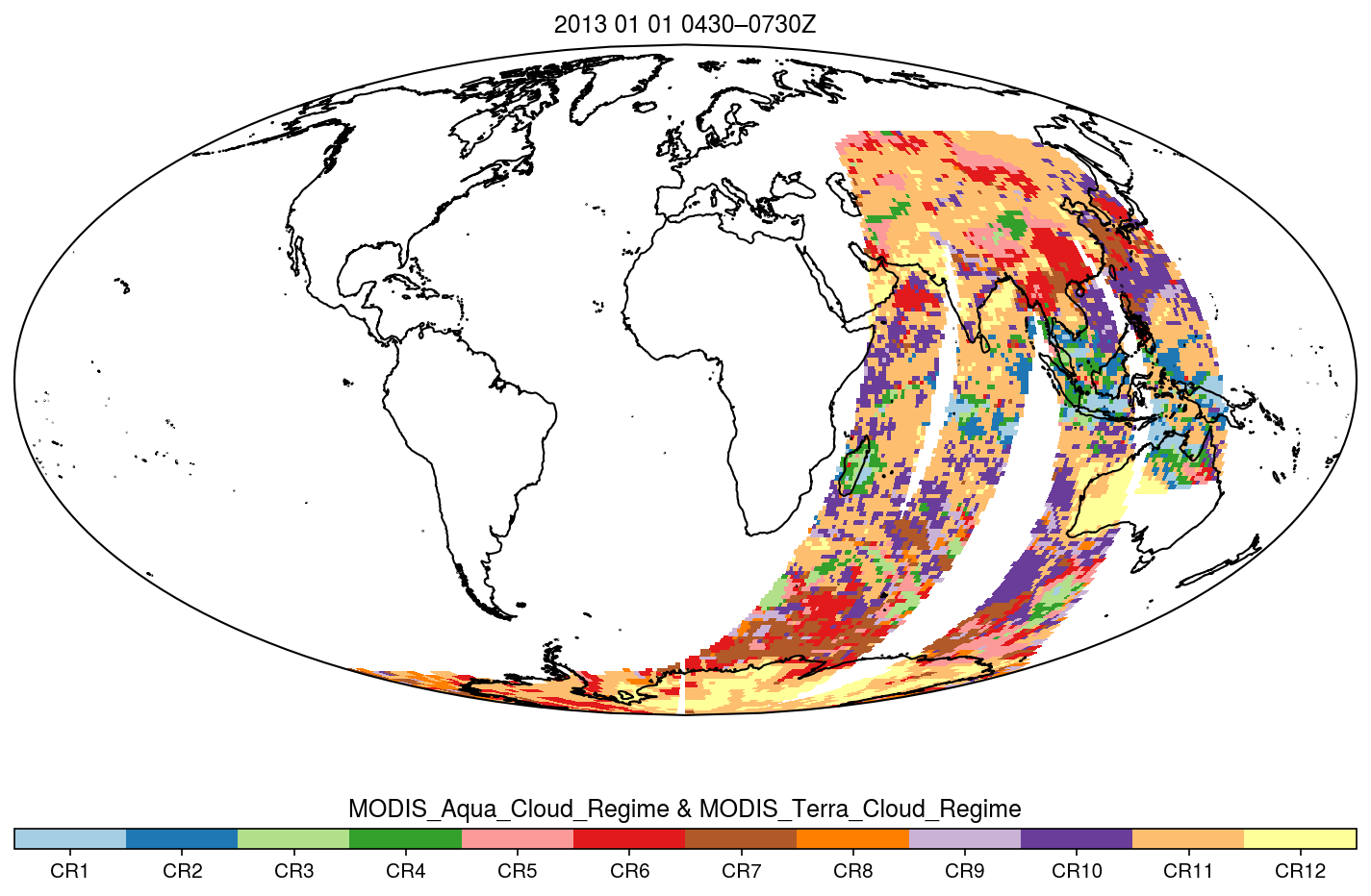
MODIS_CR_Equal_Area_3h
National Aeronautics and Space Administration —
The MODIS Collection 6.1 Equal-Area Three-Hourly Cloud Regime product. This product is a discrete classification of cloud fields at the mesoscale as observed by the... -
Federal
Gamma Ray Data: Peck (FIFE)
National Aeronautics and Space Administration —
Airborne soil moisture measurement is based on the difference between natural terrestrial gamma radiation flux measured for comparatively wet and dry soils. The...
2,429 datasets found for "38l로또해킹DBl텔레DBKALI§⊆"