
-
Federal
Maritime Limits and Boundaries of United States of America NGDA 79 recent views
National Oceanic and Atmospheric Administration, Department of Commerce —
NOAA is responsible for depicting on its nautical charts the limits of the 12 nautical mile Territorial Sea, 24 nautical mile Contiguous Zone, and 200 nautical mile... -
Federal
Tides and Currents Map: an interactive map of all CO-OPS stations NGDA 32 recent views
National Oceanic and Atmospheric Administration, Department of Commerce —
This interactive map has many features designed to provide a quick and easy way to find a Center for Operational Oceanographic Products and Services (CO-OPS) station.... -
Federal
Sea Level Trends: Sea Level Variations of the United States Derived from National Water Level Observation Network Stations NGDA 30 recent views
National Oceanic and Atmospheric Administration, Department of Commerce —
Water level records are a combination of the fluctuations of the ocean and the vertical land motion at the location of the station. Monthly mean sea level (MSL)... -
Federal
Continental United States Hurricane Strikes Since 1950 16 recent views
National Oceanic and Atmospheric Administration, Department of Commerce —
This is an annual edition poster showing all of the hurricanes having impacted the continental U.S. from 1950 to 2022. This 36x28 inch glossy poster gives a quick... -
Federal
Social Vulnerability Index (SoVI) for the U.S. Coastal States based on the 2010 Census Tracts 10 recent views
National Oceanic and Atmospheric Administration, Department of Commerce —
The Social Vulnerability Index (SoVI) 2006-10 measures the social vulnerability of U.S. counties to environmental hazards. The index is a comparative metric that... -
Federal
National Status and Trends: Mussel Watch Program
National Oceanic and Atmospheric Administration, Department of Commerce —
Mussel Watch is the longest running continuous chemical contaminant monitoring program in U.S. coastal and Great Lakes waters and was created in response to concerns... -
Federal
Meteorological Data (including visibility)
National Oceanic and Atmospheric Administration, Department of Commerce —
The National Ocean Service (NOS) maintains a long-term database containing data from active and historic stations installed all over the United States and U.S.... -
Federal
High Tide Flooding Products from NOAA CO-OPS
National Oceanic and Atmospheric Administration, Department of Commerce —
High tide flooding is the overflow or excess accumulation of water that covers typically dry coastal land and occurs during high tides. As relative sea levels rise,... -
Federal
H10027: NOS Hydrographic Survey , Delaware River, 1982-09-23
National Oceanic and Atmospheric Administration, Department of Commerce —
The National Oceanic and Atmospheric Administration (NOAA) has the statutory mandate to collect hydrographic data in support of nautical chart compilation for safe... -
Federal
Estuarine Living Marine Resources: Mid-Atlantic Regional Distribution and Abundance (NCEI Accession 0162403)
National Oceanic and Atmospheric Administration, Department of Commerce —
This is the Mid-Atlantic regional component of NOAAâs Estuarine Living Marine Resources (ELMR) Project, a national database of ecologically and economically... -
Federal
NOAA's Estuarine Living Marine Resources (ELMR) Data Base
National Oceanic and Atmospheric Administration, Department of Commerce —
In 1985, NOAA launched the Estuarine Living Marine Resources (ELMR) Program to develop a consistent data base on the distribution, relative abundance, and life... -
Federal
NOAA Water Levels for Coastal, Estuaries and Great Lakes regions
National Oceanic and Atmospheric Administration, Department of Commerce —
For over 200 years, NOAA's Center for Operational Oceanographic Products and Services (CO-OPS) and its predecessors have been managing a comprehensive system for... -
Federal
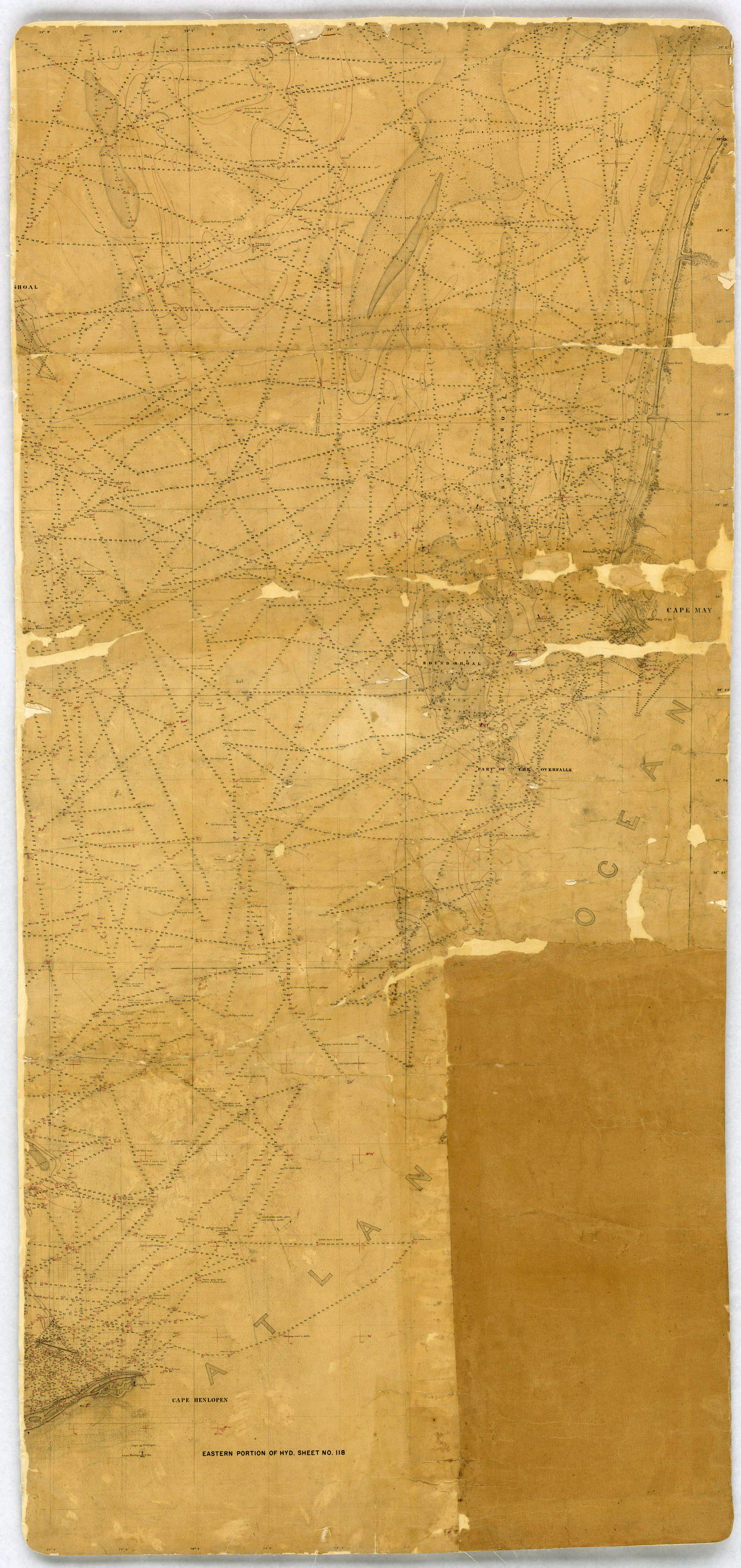
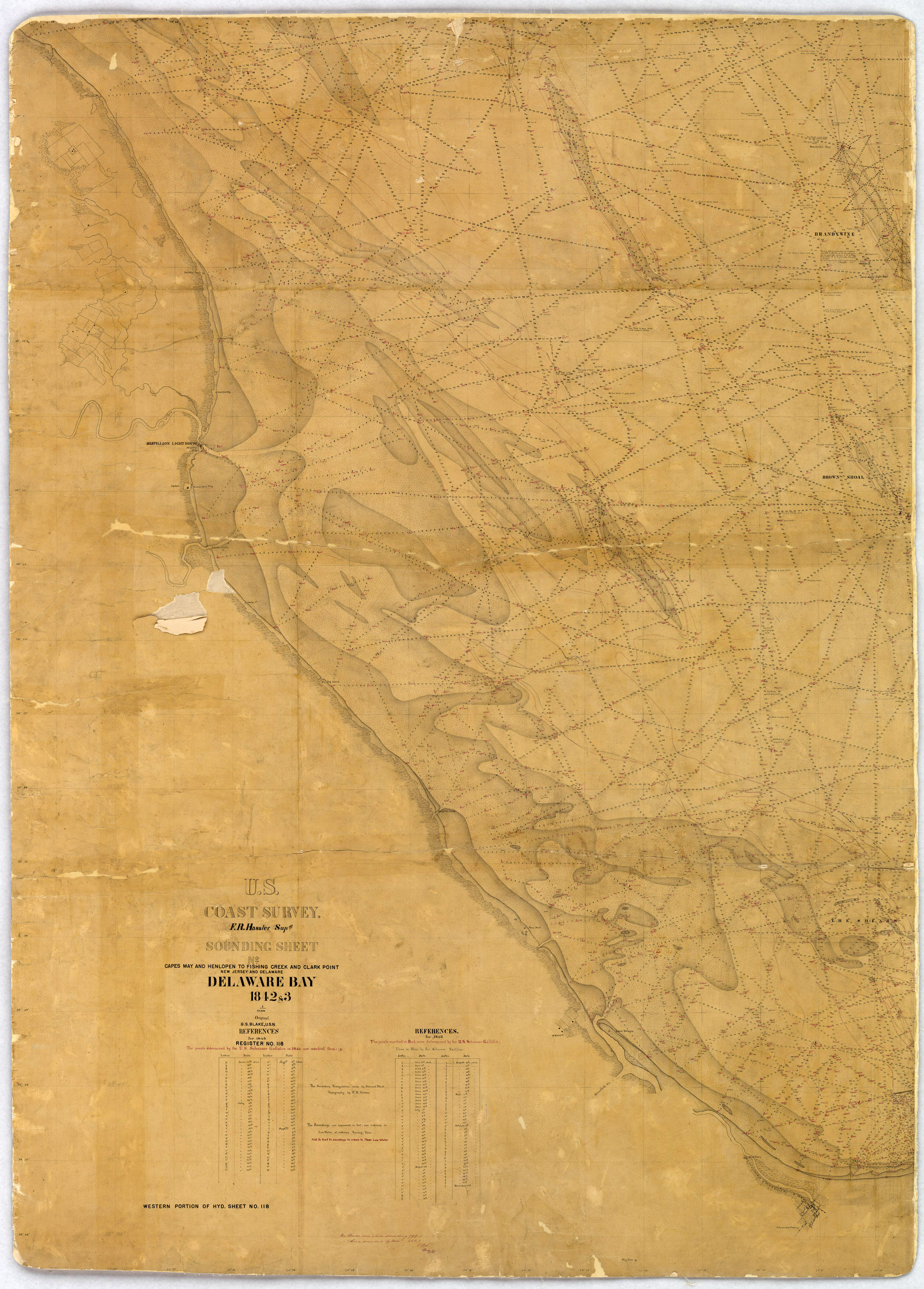
H00118: NOS Hydrographic Survey , 1843-12-31
National Oceanic and Atmospheric Administration, Department of Commerce —
The National Oceanic and Atmospheric Administration (NOAA) has the statutory mandate to collect hydrographic data in support of nautical chart compilation for safe... -
Federal
H10936: NOS Hydrographic Survey , Delaware Bay and Approaches, Delaware, 1999-10-31
National Oceanic and Atmospheric Administration, Department of Commerce —
The National Oceanic and Atmospheric Administration (NOAA) has the statutory mandate to collect hydrographic data in support of nautical chart compilation for safe... -
Federal
H10217: NOS Hydrographic Survey , Delaware Bay, 1986-09-30
National Oceanic and Atmospheric Administration, Department of Commerce —
The National Oceanic and Atmospheric Administration (NOAA) has the statutory mandate to collect hydrographic data in support of nautical chart compilation for safe... -
Federal
H10926: NOS Hydrographic Survey , Delaware Bay and Approaches, Delaware, 2000-09-12
National Oceanic and Atmospheric Administration, Department of Commerce —
The National Oceanic and Atmospheric Administration (NOAA) has the statutory mandate to collect hydrographic data in support of nautical chart compilation for safe... -
Federal
H10042: NOS Hydrographic Survey , Delaware River, 1982-11-02
National Oceanic and Atmospheric Administration, Department of Commerce —
The National Oceanic and Atmospheric Administration (NOAA) has the statutory mandate to collect hydrographic data in support of nautical chart compilation for safe... -
Federal
H11022: NOS Hydrographic Survey , Delaware River and Bay, Delaware and New Jersey, 2001-11-19
National Oceanic and Atmospheric Administration, Department of Commerce —
The National Oceanic and Atmospheric Administration (NOAA) has the statutory mandate to collect hydrographic data in support of nautical chart compilation for safe... -
Federal
H11081: NOS Hydrographic Survey , Delaware River and Bay, Delaware and New Jersey, 2002-05-07
National Oceanic and Atmospheric Administration, Department of Commerce —
The National Oceanic and Atmospheric Administration (NOAA) has the statutory mandate to collect hydrographic data in support of nautical chart compilation for safe...

Official websites use .gov
A
.gov website belongs to an official government
organization in the United States.
Secure .gov websites use HTTPS
A
lock (
) or https:// means you’ve safely connected to
the .gov website. Share sensitive information only on official,
secure websites.
.jpg)
.jpg)
.jpg)
.jpg)