
-
Federal
Cleanups In My Community (CIMC) - Base Realignment and Closure (BRAC) Superfund Sites, National Layer
U.S. Environmental Protection Agency —
This data layer provides access to Base Realignment and Closure (BRAC) Superfund Sites as part of the CIMC web service. EPA works with DoD to facilitate the reuse and... -
Marijuana Arrests
District of Columbia —
The data represents individuals arrested with a marijuana charge, regardless of whether there was a more serious secondary charge. If an arrestee was charged with... -
Federal
NESDIS Suspected Oil: Marine Pollution Surveillance Reports (MPSR) Metadata
National Oceanic and Atmospheric Administration, Department of Commerce —
The Satellite Analysis Branch (SAB) of NOAA/NESDIS detects oil slicks in satellite imagery over U.S. waters (and international waters when requested by OR&R) in... -
Automated External Defibrillator
District of Columbia —
An AED is an electronic device that analyzes the heart’s rhythm and tells the user to deliver a defibrillation shock when it is required. An AED is portable and easy... -
Federal
Spacecraft Anomalies
National Oceanic and Atmospheric Administration, Department of Commerce —
-
Federal
NOAA NCCOS: New England Red Tide Research
National Oceanic and Atmospheric Administration, Department of Commerce —
Alexandrium blooms are one of several algal bloom types often called "red tides," but more correctly referred to as Harmful Algal Blooms (HABs). Alexandrium produces... -
Federal
Cleanups In My Community (CIMC) - Superfund National Priority List (NPL) Sites, National Layer
U.S. Environmental Protection Agency —
This data layer provides access to Superfund National Priority List Sites as part of the CIMC web service. Superfund is a program administered by the EPA to locate,... -
Licensed Medical Cannabis Facilities Non-Retailer
District of Columbia —
Four medical cannabis facility types are included in this dataset. All of these facility types are closed to the general public and do not dispense medical cannabis... -
Federal
Meteorology, physical oceanography, transport of water, biogeochemistry, and other parameters collected at fixed locations in the open ocean from the OceanSITES network
National Oceanic and Atmospheric Administration, Department of Commerce —
This collection comprises data covering meteorology, physical oceanography, transport of water, biogeochemistry, and parameters relevant to the carbon cycle, ocean... -
Federal
Cleanups In My Community (CIMC) - Hazardous Waste Corrective Actions, National Layer
U.S. Environmental Protection Agency —
This data layer provides access to Hazardous Waste Corrective Action sites as part of the CIMC web service. Hazardous waste is waste that is dangerous or potentially... -
Federal
2006 NOAA Bathymetric Lidar: Puerto Rico (Southwest)
National Oceanic and Atmospheric Administration, Department of Commerce —
This data set (Project Number OPR-I305-KRL-06) depicts depth values (mean 5 meter gridded) collected using LiDAR (Light Detection & Ranging) from the shoreline of... -
Federal
Cleanups In My Community (CIMC) - Federal facilities that are also Superfund sites, National Layer
U.S. Environmental Protection Agency —
Federal facilities are properties owned by the federal government. This data layer provides access to Federal facilities that are Superfund sites as part of the CIMC... -
State
Food Scrap Generators
Vermont Center for Geographic Information —
Here you will find Vermont businesses and institutions (such as restaurants, grocery stores, markets, hospitals, schools, food manufacturers, assisted living... -
Federal
Satellite Anomalies Due to Environment
National Oceanic and Atmospheric Administration, Department of Commerce —
These events range from minor operational problems to permanent spacecraft failures. Australia, Canada, Germany, India, Japan, United Kingdom, and the United States... -
City
Louisville Metro KY Areas of Interest
Louisville Metro Government —
Types of areas include industrial parks, significant cemeteries, airports, tourist sites, major manufacturing complexes, major malls, parks not maintained by the... -
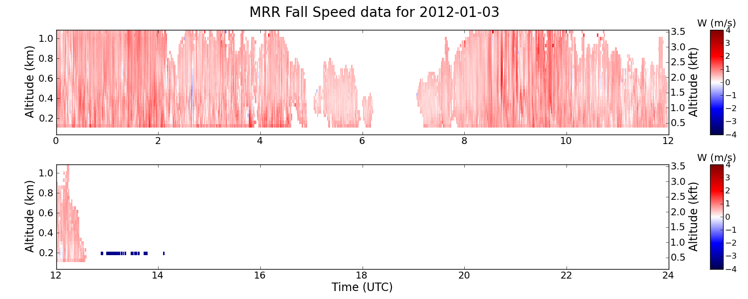
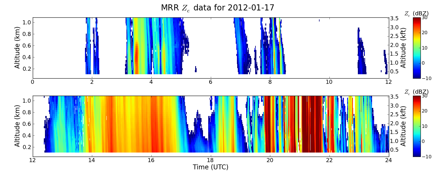
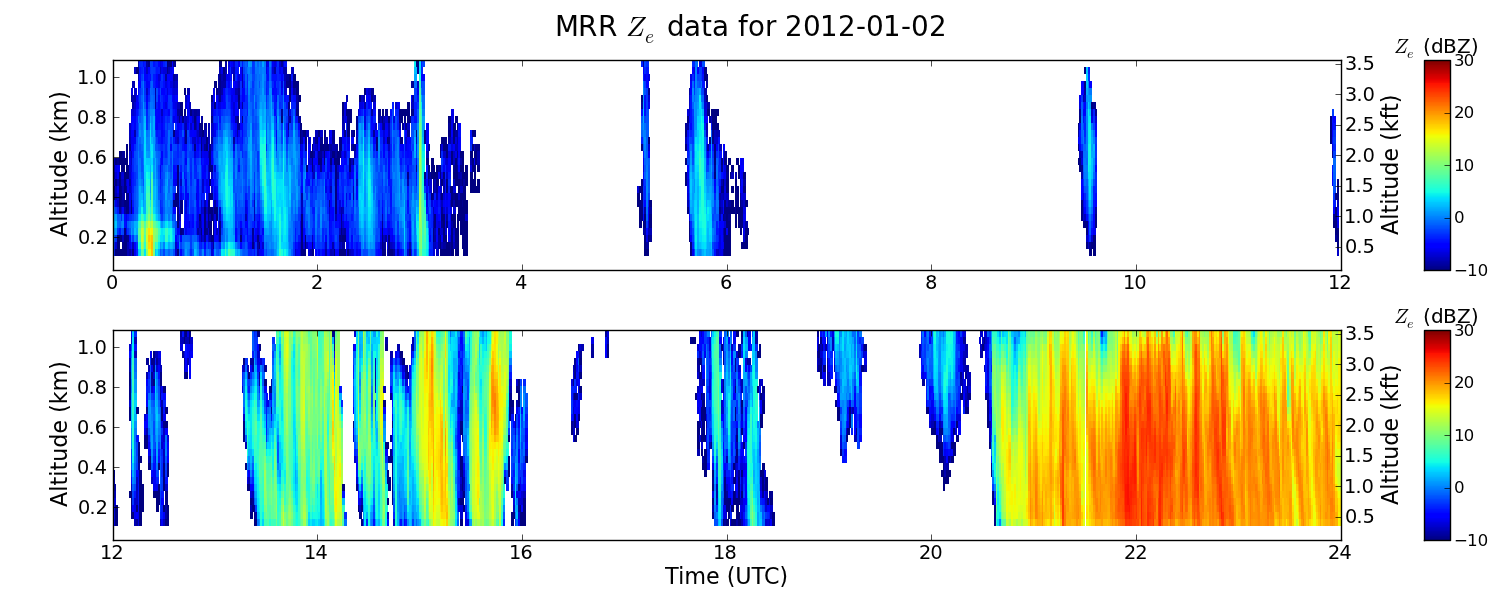
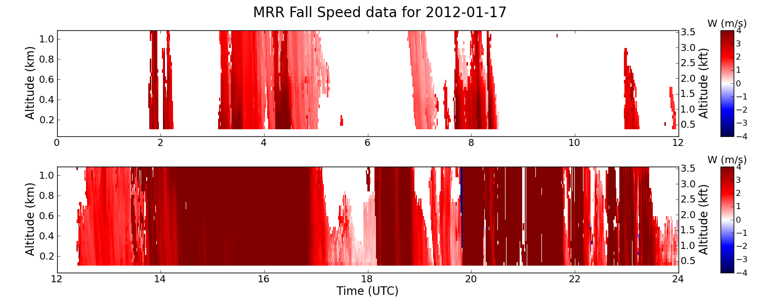
Federal
GPM GROUND VALIDATION ENVIRONMENT CANADA (EC) MICRO RAIN RADAR (MRR) GCPEX V2
National Aeronautics and Space Administration —
The GPM Ground Validation Environment Canada (EC) Micro Rain Radar (MRR) GCPEx V2 dataset was collected from the Micro Rain Radar (MRR) during the GPM Cold-season... -
Federal
Water temperature, hydrostatic pressure, and light taken by TDR (time-depth recorder) attached to marine mammals for the Marine Mammals Exploring the Oceans Pole to Pole (MEOP) project in the Indian Ocean, Southern Ocean from 2008-10-17 to 2016-01-17 (NCEI Accession 0299108)
National Oceanic and Atmospheric Administration, Department of Commerce —
This dataset contains temperature and light CTD data from the Marine Mammals Exploring the Ocean Pole to Pole (MEOP) program taken TDR (time-depth recorder) deployed... -
Federal
GOM SAB - WV Oil Delineation 2017-04-25
National Oceanic and Atmospheric Administration, Department of Commerce —
These data were collected as part of the National Oceanic and Atmosphericâs (NOAA) DWH Lessons Learned Studies: Detection of Oil Thickness and Emulsion Mixtures... -
Federal
U.S.V.I. Mean Annual Precipitation (mm) Derived from Climate Data Collected from 1990-2000
National Oceanic and Atmospheric Administration, Department of Commerce —
U.S.V.I. mean annual precipitation -
Federal
Enhancing Management Tools: Molecular Genetic Tracking to Target Microbial Pollution Sources in South Florida Coral Reefs, Year 1 - CRCP project #1114
National Oceanic and Atmospheric Administration, Department of Commerce —
Both coastal inlets and treated wastewater outfalls are recognized as major pathways for microbial contaminants from Land-Based Sources of Pollution (LBSP) to enter...

Official websites use .gov
A
.gov website belongs to an official government
organization in the United States.
Secure .gov websites use HTTPS
A
lock (
) or https:// means you’ve safely connected to
the .gov website. Share sensitive information only on official,
secure websites.