
-
Federal
Alabama ESI: MGT (Management Area Polygons)
National Oceanic and Atmospheric Administration, Department of Commerce —
This data set contains sensitive human-use data for designated critical habitats, state parks, wildlife refuges, and wildlife management areas in Alabama. Vector... -
Federal
Federal and State Waters
National Oceanic and Atmospheric Administration, Department of Commerce —
These data show the geographic representation of Federal and State Waters for the purpose of display in the MarineCadastre.gov OceanReports application. The boundary... -
Federal
Environmental Sensitivity Index (ESI) Threatened and Endangered Species GIS Services
National Oceanic and Atmospheric Administration, Department of Commerce —
Environmental Sensitivity Index (ESI) data characterize the marine and coastal environments and wildlife based on sensitivity to spilled oil. Coastal species that are... -
Federal
Environmental Sensitivity Index (ESI) Data Viewer and Data Services for Atlases NGDA
National Oceanic and Atmospheric Administration, Department of Commerce —
ESI data characterize the marine and coastal environments and wildlife based on sensitivity to spilled oil. There are three main components: shoreline habitats,... -
Federal
Surface ocean radial velocities obtained by HF-radar from stations located along coastal waters of Hawaii, North Slope Alaska, Gulf of Alaska, Puerto Rico/Virgin Islands, eastern U.S./Gulf of America, western U.S., and the Great Lakes
National Oceanic and Atmospheric Administration, Department of Commerce —
This dataset contains surface ocean radial velocities data obtained by HF-radar from stations located along coastal waters of the United States. Radial velocity files... -
Federal
Digital Geologic-GIS Map of Canaveral National Seashore, Florida (NPS, GRD, GRI, CANA, CANA digital map) adapted from RW Parkinson Inc. and Dynamic Corp., National Park Service and National Aeronautics and Space Administration unpublished digital data by Parkinson and Schaub (2007)
Department of the Interior —
The Digital Geologic-GIS Map of Canaveral National Seashore, Florida is composed of GIS data layers and GIS tables, and is available in the following GRI-supported... -
Federal
Western Alaska ESI: MGT (Management Area Polygons)
National Oceanic and Atmospheric Administration, Department of Commerce —
This data set contains management area data for Designated Critical Habitats, Wildlife Refuges, Wild and Scenic Rivers, and State Parks. Vector polygons in this data... -
Federal
Northwest Peninsular Florida 2016 ESI PARKS-MANAGED AREAS Polygons
National Oceanic and Atmospheric Administration, Department of Commerce —
This data set contains vector polygons depicting locations for management areas, military areas, national parks, Nature Conservancy lands, state or regional parks,... -
Federal
Sensitivity of Coastal Environments and Wildlife to Spilled Oil: Mississippi: MGT (Management Area Polygons)
National Oceanic and Atmospheric Administration, Department of Commerce —
This data set contains sensitive human-use data for artificial reefs, National Park Service properties, Wildlife Management Areas, National Wildlife Refuges, and... -
Federal
Sensitivity of Coastal Environments and Wildlife to Spilled Oil: Northern California: MGT (Management Area Polygons)
National Oceanic and Atmospheric Administration, Department of Commerce —
This data set contains human-use data for designated critical habitats, essential habitats, management areas, marine sanctuaries, National Park Service properties,... -
Federal
Columbia River ESI: MGT (Management Area Polygons)
National Oceanic and Atmospheric Administration, Department of Commerce —
This data set contains sensitive human-use data for Wildlife Refuges, National Forests, and State Parks for the Columbia River area. Vector polygons in this data set... -
Federal
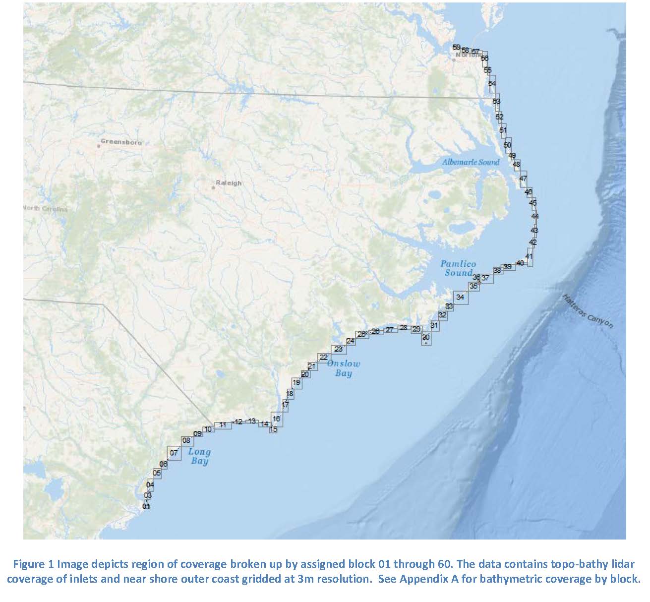
2018 NOAA NGS Topobathy Lidar: Chesapeake Bay, VA (Fisherman Island National Wildlife Refuge to Pitts Neck)
National Oceanic and Atmospheric Administration, Department of Commerce —
These data were collected by NOAA using a Riegl VQ-880-G sensor. The data were acquired March 29, 2018 through May 25, 2018. The data include topobathymetric lidar... -
Federal
South Carolina 2015 ESI PARKS and MANAGED AREAS Polygons, Points
National Oceanic and Atmospheric Administration, Department of Commerce —
This data set contains vector polygons depicting management areas, military sites, National Estuarine Research Reserve (NERR) locations, national forests, national... -
Federal
W00331: NOS Hydrographic Survey , 2014-07-20
National Oceanic and Atmospheric Administration, Department of Commerce —
The National Oceanic and Atmospheric Administration (NOAA) has the statutory mandate to collect hydrographic data in support of nautical chart compilation for safe... -
Federal
Hawaii ESI: MGT (Management Area Polygons)
National Oceanic and Atmospheric Administration, Department of Commerce —
This data set contains management area data for artificial reefs, designated critical habitats, national parks, marine sanctuaries, special management areas,... -
Federal
Rhode Island, Connecticut, New York, and New Jersey ESI: MGT (Management Area Polygons)
National Oceanic and Atmospheric Administration, Department of Commerce —
This data set contains management area data for National Estuarine Research Reserves, wildlife refuges, wildlife management areas, state/regional parks, state... -
Federal
Chesapeake Bay 2016 ESI PARKS/MANAGED AREAS Polygons, Points
National Oceanic and Atmospheric Administration, Department of Commerce —
This data set contains vector polygons depicting locations of management areas, military installations, Nature Conservancy properties, National Estuarine Research... -
Federal
2014 NOAA NGS Topobathy Lidar: Key West National Wildlife Refuge (FL)
National Oceanic and Atmospheric Administration, Department of Commerce —
These data were collected by the National Oceanic Atmospheric Administration National Geodetic Survey Remote Sensing Division using a Riegl VQ880G system. The data... -
Federal
GL_StClair_Detroit_River 2019 ESI PARKS/MANAGED Polygons, Lines, Points
National Oceanic and Atmospheric Administration, Department of Commerce —
These feature classes reside within the SOCECON Feature Data Set of the Great Lakes - St. Clair / Detroit River System 2019 ESI geodatabase. They contain vector... -
Federal
Oculina Habitat Area of Concern Assessment
National Oceanic and Atmospheric Administration, Department of Commerce —
Scientists and students will be exploring the deepwater coral reefs of the Oculina Banks, which stretch 30 miles offshore from Ft. Pierce to Cape Canaveral. This...

Official websites use .gov
A
.gov website belongs to an official government
organization in the United States.
Secure .gov websites use HTTPS
A
lock (
) or https:// means you’ve safely connected to
the .gov website. Share sensitive information only on official,
secure websites.