
-
Federal
Sea level measured by tide gauges from global oceans as part of the Joint Archive for Sea Level (JASL) since 1846
National Oceanic and Atmospheric Administration, Department of Commerce —
This collection contains the complete holdings of the Joint Archive for Sea Level (JASL) for hourly and daily data that have been quality controlled, assessed, and... -
Federal
National Coral Reef Monitoring Program: Stratified Random Surveys (StRS) of Reef Fish, including Benthic Estimate Data of the Hawaiian Archipelago since 2013
National Oceanic and Atmospheric Administration, Department of Commerce —
The stationary point count (SPC) method is used to conduct reef fish surveys in the Hawaiian and Mariana Archipelagos, American Samoa, and the Pacific Remote Island... -
Federal
Surface ocean radial velocities obtained by HF-radar from stations located along coastal waters of Hawaii, North Slope Alaska, Gulf of Alaska, Puerto Rico/Virgin Islands, eastern U.S./Gulf of America, western U.S., and the Great Lakes
National Oceanic and Atmospheric Administration, Department of Commerce —
This dataset contains surface ocean radial velocities data obtained by HF-radar from stations located along coastal waters of the United States. Radial velocity files... -
Federal
Fisheries One Stop Shop Public Data 2009 - Present
National Oceanic and Atmospheric Administration, Department of Commerce —
The purpose of the Fisheries One-Stop-Shop (FOSS) is to make fisheries dependent information readily available to fisheries managers, scientists and the American... -
Federal
2022 Cartographic Boundary File (KML), Current County Subdivision for North Carolina, 1:500,000
U.S. Census Bureau, Department of Commerce —
The 2022 cartographic boundary KMLs are simplified representations of selected geographic areas from the U.S. Census Bureau's Master Address File / Topologically... -
Federal
D00255: NOS Hydrographic Survey , 2018-09-20
National Oceanic and Atmospheric Administration, Department of Commerce —
The National Oceanic and Atmospheric Administration (NOAA) has the statutory mandate to collect hydrographic data in support of nautical chart compilation for safe... -
Federal
National Coral Reef Monitoring Program: Stratified Random Surveys (StRS) of Coral Demography (Adult and Juvenile Corals) across the Pacific Remote Island Areas from 2014 to 2018
National Oceanic and Atmospheric Administration, Department of Commerce —
NCRMP CORAL DEMOGRAPHIC DATA HAS NOW BEEN MERGED INTO A PACIFIC-WIDE METADATA RECORD -- PLEASE REFER TO https://www.fisheries.noaa.gov/inport/item/71550 FOR MOST... -
Federal
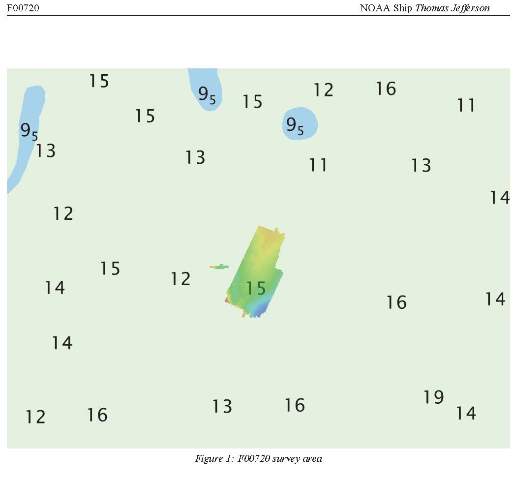
F00720: NOS Hydrographic Survey , 2018-05-01
National Oceanic and Atmospheric Administration, Department of Commerce —
The National Oceanic and Atmospheric Administration (NOAA) has the statutory mandate to collect hydrographic data in support of nautical chart compilation for safe... -
Federal
Near-real-time surface ocean velocities derived from HF-radar stations located along coastal waters of North Slope Alaska, Gulf of Alaska, Puerto Rico/Virgin Islands, eastern U.S./Gulf of America, Hawaii, Great Lakes, and western U.S.
National Oceanic and Atmospheric Administration, Department of Commerce —
This dataset contains near-real-time ocean surface velocities, also known as total vector velocities, derived from high-frequency (HF) radar stations. The velocities... -
Federal
Hawaii Atlantis model input files calibrated for testing CMIP6 climate scenarios
National Oceanic and Atmospheric Administration, Department of Commerce —
The files described here are the Main Hawaiian Islands (MHI) Atlantis Ecosystem model input files used in for testing CMIP6 climate scenarios developed by main... -
Federal
H13601: NOS Hydrographic Survey , 2022-10-10
National Oceanic and Atmospheric Administration, Department of Commerce —
The National Oceanic and Atmospheric Administration (NOAA) has the statutory mandate to collect hydrographic data in support of nautical chart compilation for safe... -
Federal
H13600: NOS Hydrographic Survey , 2022-08-13
National Oceanic and Atmospheric Administration, Department of Commerce —
The National Oceanic and Atmospheric Administration (NOAA) has the statutory mandate to collect hydrographic data in support of nautical chart compilation for safe... -
Federal
SeaBASS Bio-optical and pigment data collected from 1979-08-22 to 2011-12-14 (NCEI Accession 0086308)
National Oceanic and Atmospheric Administration, Department of Commerce —
This dataset contains SeaWiFS Bio-optical Archive and Storage System (SeaBASS) bio-optical, pigment, and other data collected from 1979-08-22 to 2011-12-14. Archived... -
Federal
National Coral Reef Monitoring Program: Calcification rates of crustose coralline algae derived from calcification accretion units (CAUs) deployed in the Florida Reef Tract
National Oceanic and Atmospheric Administration, Department of Commerce —
The calcification rate data described here are from in-house developed calcification accretion units (CAUs) deployed by scuba divers in the Florida Reef Tract, in... -
Federal
H13594: NOS Hydrographic Survey , 2022-03-25
National Oceanic and Atmospheric Administration, Department of Commerce —
The National Oceanic and Atmospheric Administration (NOAA) has the statutory mandate to collect hydrographic data in support of nautical chart compilation for safe... -
Federal
Fish Sampling in the Multnomah Channel Marsh Natural Area near Portland Oregon from 2014-03-24 to 2015-07-15
National Oceanic and Atmospheric Administration, Department of Commerce —
The Multnomah Channel Wetland Restoration Monitoring Project characterizes wetlands use by juvenile salmonids and other fishes in the Multnomah Channel Marsh Natural... -
Federal
Southeast Region Headboat Survey-Catch Records
National Oceanic and Atmospheric Administration, Department of Commerce —
The Southeast Region Headboat Survey (SRHS), administered by National Marine Fisheries Service (NMFS) Southeast Fisheries Science Center (SEFSC) personnel based at... -
Federal
2023 Cartographic Boundary File (KML), Unified School District for North Carolina, 1:500,000
U.S. Census Bureau, Department of Commerce —
The 2023 cartographic boundary KMLs are simplified representations of selected geographic areas from the U.S. Census Bureau's Master Address File / Topologically... -
Federal
H13597: NOS Hydrographic Survey , 2022-10-10
National Oceanic and Atmospheric Administration, Department of Commerce —
The National Oceanic and Atmospheric Administration (NOAA) has the statutory mandate to collect hydrographic data in support of nautical chart compilation for safe... -
Federal
H06797: NOS Hydrographic Survey , 1943-03-04
National Oceanic and Atmospheric Administration, Department of Commerce —
The National Oceanic and Atmospheric Administration (NOAA) has the statutory mandate to collect hydrographic data in support of nautical chart compilation for safe...

Official websites use .gov
A
.gov website belongs to an official government
organization in the United States.
Secure .gov websites use HTTPS
A
lock (
) or https:// means you’ve safely connected to
the .gov website. Share sensitive information only on official,
secure websites.