
-
Federal
Aviation Facilities NGDA
Federal Geographic Data Committee —
The Aviation Facilities dataset is updated every 28 days from the Federal Aviation Administration (FAA) and is part of the U.S. Department of Transportation... -
Airport Runway and Taxiway
District of Columbia —
Taxiway, Apron: Delineate footprint of the following features. A taxiway connects aircraft to other areas and facilities of an airport. The apron is an area of an... -
Emissions Inventory
District of Columbia —
NEI point sources include emissions estimates for larger sources that are located at a fixed, stationary location. Point sources in the NEI include large industrial... -
Federal
Military Special Use Airspace
National Oceanic and Atmospheric Administration, Department of Commerce —
Military Special Use Airspace is airspace of defined dimensions identified by an area on the surface of the earth wherein activities must be confined because of their... -
Airport Runway and Taxiway 2021
District of Columbia —
Taxiway, Apron: Delineate footprint of the following features. A taxiway connects aircraft to other areas and facilities of an airport. The apron is an area of an... -
Federal
H12105: NOS Hydrographic Survey , Southwest Alaska Peninsula, Alaska, 2009-08-12
National Oceanic and Atmospheric Administration, Department of Commerce —
The National Oceanic and Atmospheric Administration (NOAA) has the statutory mandate to collect hydrographic data in support of nautical chart compilation for safe... -
Federal
Maui Photomosaic 2000 (301e-0603) - Orthorectification and Mosaicing of Color Aerial Photography Main Eight Hawaiian Islands
National Oceanic and Atmospheric Administration, Department of Commerce —
Habitat maps of the main Hawaiian Islands were created by visual interpretation of aerial photos and hyperspectral imagery using the Habitat Digitizer extension.... -
Federal
Kauai Photomosaic 2000 (103-104e-0430) - Orthorectification and Mosaicing of Color Aerial Photography Main Eight Hawaiian Islands
National Oceanic and Atmospheric Administration, Department of Commerce —
Habitat maps of the main Hawaiian Islands were created by visual interpretation of aerial photos and hyperspectral imagery using the Habitat Digitizer extension.... -
Federal
1998 LiDAR survey of Fire Island National Seashore
Department of the Interior —
Bare-earth GRID elevation data derived from a LIDAR. Grid elevation data derived from a LIDAR survey of Fire Island National Seashore (FIIS). LIDAR is a form of laser... -
Federal
H11659: NOS Hydrographic Survey , West of Prince of Wales Island, Alaska, 2007-06-23
National Oceanic and Atmospheric Administration, Department of Commerce —
The National Oceanic and Atmospheric Administration (NOAA) has the statutory mandate to collect hydrographic data in support of nautical chart compilation for safe... -
Federal
H11869: NOS Hydrographic Survey , Approaches to Miami, Florida, 2008-08-26
National Oceanic and Atmospheric Administration, Department of Commerce —
The National Oceanic and Atmospheric Administration (NOAA) has the statutory mandate to collect hydrographic data in support of nautical chart compilation for safe... -
Federal
2010 NOAA/USGS Lidar: French Frigate Shoals, NWHI
National Oceanic and Atmospheric Administration, Department of Commerce —
The U.S. Geological Survey (USGS) contracted with Hawaii-based Aerial Surveying, Inc. to collect lidar-derived elevation data over the low-lying areas within the... -
Federal
H11667: NOS Hydrographic Survey , Southeast Coast of Kodiak Island, Alaska, 2007-06-21
National Oceanic and Atmospheric Administration, Department of Commerce —
The National Oceanic and Atmospheric Administration (NOAA) has the statutory mandate to collect hydrographic data in support of nautical chart compilation for safe... -
Federal
H11438: NOS Hydrographic Survey , Southwestern Alaska Peninsula-Pavlof Islands, Alaska, 2005-08-12
National Oceanic and Atmospheric Administration, Department of Commerce —
The National Oceanic and Atmospheric Administration (NOAA) has the statutory mandate to collect hydrographic data in support of nautical chart compilation for safe... -
Federal
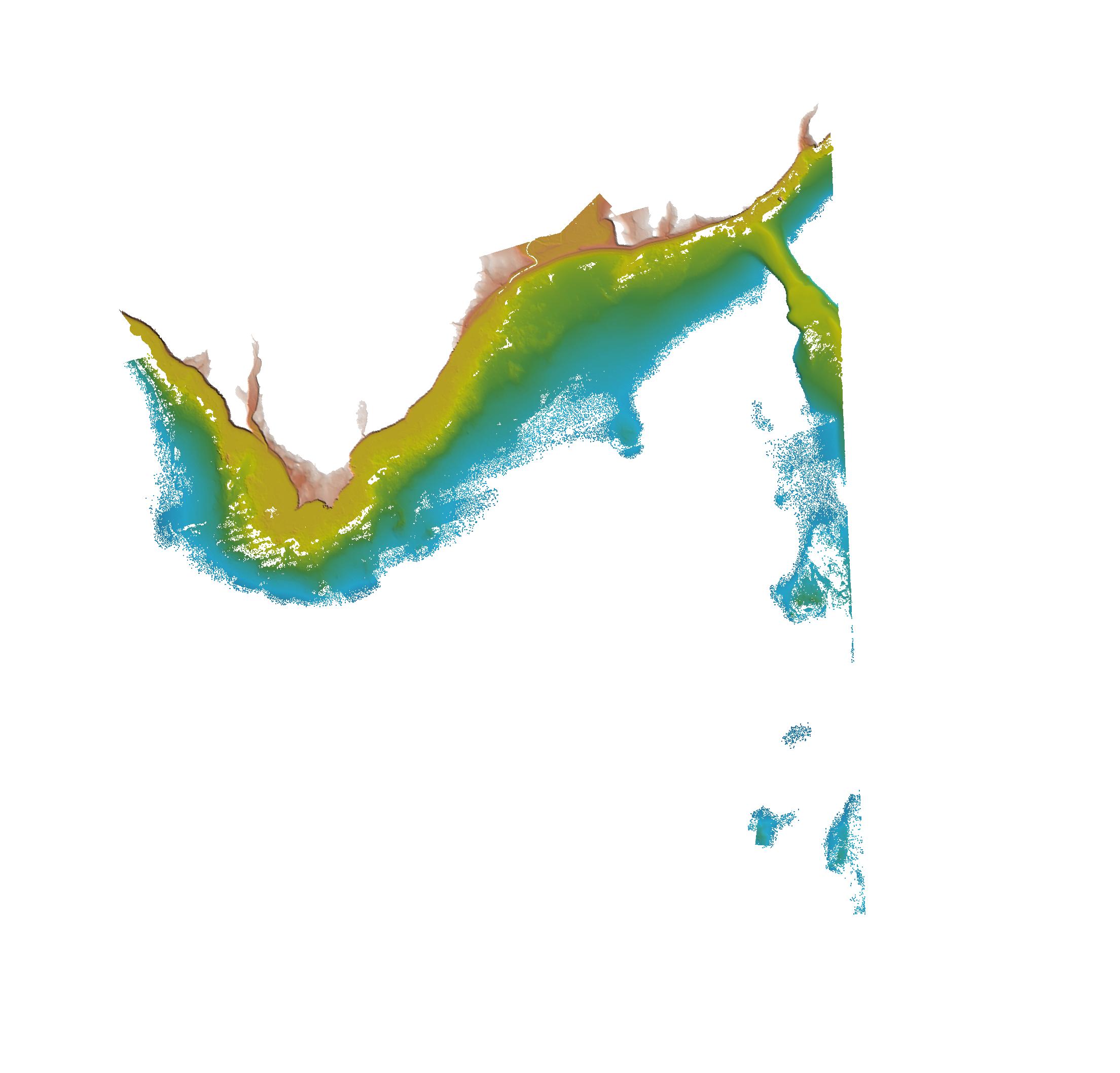
H13389: NOS Hydrographic Survey , 2021-05-16
National Oceanic and Atmospheric Administration, Department of Commerce —
The National Oceanic and Atmospheric Administration (NOAA) has the statutory mandate to collect hydrographic data in support of nautical chart compilation for safe... -
Federal
Kauai Photomosaic 2000 (109-111-0420-0430) - Orthorectification and Mosaicing of Color Aerial Photography Main Eight Hawaiian Islands
National Oceanic and Atmospheric Administration, Department of Commerce —
Habitat maps of the main Hawaiian Islands were created by visual interpretation of aerial photos and hyperspectral imagery using the Habitat Digitizer extension.... -
Federal
Maui Photomosaic 2000 (312-310-0524-0613) - Orthorectification and Mosaicing of Color Aerial Photography Main Eight Hawaiian Islands
National Oceanic and Atmospheric Administration, Department of Commerce —
Habitat maps of the main Hawaiian Islands were created by visual interpretation of aerial photos and hyperspectral imagery using the Habitat Digitizer extension.... -
Federal
Maui Photomosaic 2000 (310-0620) - Orthorectification and Mosaicing of Color Aerial Photography Main Eight Hawaiian Islands
National Oceanic and Atmospheric Administration, Department of Commerce —
Habitat maps of the main Hawaiian Islands were created by visual interpretation of aerial photos and hyperspectral imagery using the Habitat Digitizer extension.... -
Federal
H11663: NOS Hydrographic Survey , West of Prince of Wales Island, Alaska, 2007-06-23
National Oceanic and Atmospheric Administration, Department of Commerce —
The National Oceanic and Atmospheric Administration (NOAA) has the statutory mandate to collect hydrographic data in support of nautical chart compilation for safe... -
Federal
H11432: NOS Hydrographic Survey , Shumagin Islands, Alaska, 2005-08-12
National Oceanic and Atmospheric Administration, Department of Commerce —
The National Oceanic and Atmospheric Administration (NOAA) has the statutory mandate to collect hydrographic data in support of nautical chart compilation for safe...

Official websites use .gov
A
.gov website belongs to an official government
organization in the United States.
Secure .gov websites use HTTPS
A
lock (
) or https:// means you’ve safely connected to
the .gov website. Share sensitive information only on official,
secure websites.
.jpg)
.jpg)
.jpg)
.jpg)