
-
Federal
Global Roads Open Access Data Set, Version 1 (gROADSv1)
National Aeronautics and Space Administration —
The Global Roads Open Access Data Set, Version 1 (gROADSv1) was developed under the auspices of the CODATA Global Roads Data Development Task Group. The data set... -
Federal
Gridded Population of the World, Version 4 (GPWv4): Population Count, Revision 11
National Aeronautics and Space Administration —
The Gridded Population of the World, Version 4 (GPWv4): Population Count, Revision 11 consists of estimates of human population (number of persons per pixel),... -
Federal
China Dimensions Data Collection: China Administrative Regions GIS Data: 1:1M, County Level, 1990
National Aeronautics and Space Administration —
The China Administrative Regions GIS Data: 1:1M, County Level, 1990 consists of geographic boundary data for the administrative regions of China as of 31 December... -
Federal
Global Landslide Hazard Distribution
National Aeronautics and Space Administration —
The Global Landslide Hazard Distribution is a 2.5 minute grid of global landslide and snow avalanche hazards based upon work of the Norwegian Geotechnical Institute... -
Federal
Global Population Density Grid Time Series Estimates
National Aeronautics and Space Administration —
The Global Population Density Grid Time Series Estimates provide a back-cast time series of population density grids based on the year 2000 population grid from... -
Federal
OCO-3 Level 1B calibrated, geolocated calibration spectra, Retrospective Processing V10r (OCO3_L1B_Calibration) at GES DISC
National Aeronautics and Space Administration —
Version 10r is the current version of the data set. Older versions will no longer be available and are superseded by Version 10r. The Orbiting Carbon Observatory -3... -
Federal
Global Earthquake Proportional Economic Loss Risk Deciles
National Aeronautics and Space Administration —
The Global Earthquake Proportional Economic Loss Risk Deciles is a 2.5 minute grid of earthquake hazard economic loss as proportions of Gross Domestic Product (GDP)... -
Federal
Global Population Count Grid Time Series Estimates
National Aeronautics and Space Administration —
The Global Population Count Grid Time Series Estimates provide a back-cast time series of population grids based on the year 2000 population grid from SEDAC's Global... -
Federal
MLS/Aura Near-Real-Time L2 Water Vapor (H2O) Mixing Ratio V005 (ML2H2O_NRT) at GES DISC
National Aeronautics and Space Administration —
ML2H2O_NRT is the EOS Aura Microwave Limb Sounder (MLS) Near-Real-Time (NRT) product for water vapor (H2O). This product contains H2O profiles derived from the 190... -
Federal
H11600: NOS Hydrographic Survey , New York Harbor and Approaches, New York and New Jersey, 2006-10-09
National Oceanic and Atmospheric Administration, Department of Commerce —
The National Oceanic and Atmospheric Administration (NOAA) has the statutory mandate to collect hydrographic data in support of nautical chart compilation for safe... -
Federal
H13636: NOS Hydrographic Survey , 2022-08-31
National Oceanic and Atmospheric Administration, Department of Commerce —
The National Oceanic and Atmospheric Administration (NOAA) has the statutory mandate to collect hydrographic data in support of nautical chart compilation for safe... -
Federal
H10701: NOS Hydrographic Survey , Southwest Alaska Peninsula. Alaska, 1996-08-03
National Oceanic and Atmospheric Administration, Department of Commerce —
The National Oceanic and Atmospheric Administration (NOAA) has the statutory mandate to collect hydrographic data in support of nautical chart compilation for safe... -
Federal
H13193: NOS Hydrographic Survey , 2019-09-11
National Oceanic and Atmospheric Administration, Department of Commerce —
The National Oceanic and Atmospheric Administration (NOAA) has the statutory mandate to collect hydrographic data in support of nautical chart compilation for safe... -
Federal
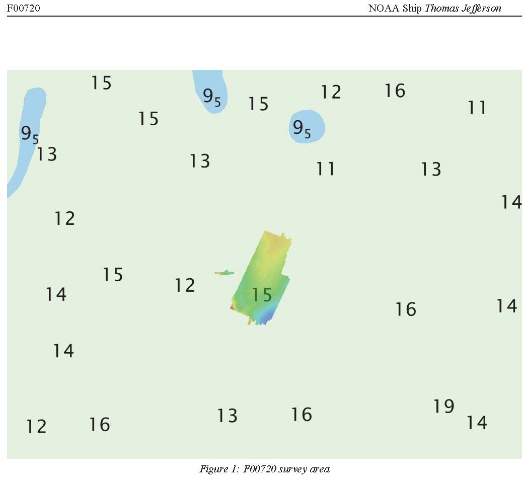
F00720: NOS Hydrographic Survey , 2018-05-01
National Oceanic and Atmospheric Administration, Department of Commerce —
The National Oceanic and Atmospheric Administration (NOAA) has the statutory mandate to collect hydrographic data in support of nautical chart compilation for safe... -
Federal
F00802: NOS Hydrographic Survey , 2020-03-09
National Oceanic and Atmospheric Administration, Department of Commerce —
The National Oceanic and Atmospheric Administration (NOAA) has the statutory mandate to collect hydrographic data in support of nautical chart compilation for safe... -
Federal
Global Drought Proportional Economic Loss Risk Deciles
National Aeronautics and Space Administration —
The Global Drought Proportional Economic Loss Risk Deciles is a 2.5 minute grid of drought hazard economic loss as proportions of Gross Domestic Product (GDP) per... -
Federal
F00740: NOS Hydrographic Survey , 2019-05-30
National Oceanic and Atmospheric Administration, Department of Commerce —
The National Oceanic and Atmospheric Administration (NOAA) has the statutory mandate to collect hydrographic data in support of nautical chart compilation for safe... -
Federal
F00484: NOS Hydrographic Survey , Chart Investigations: Ports of Los Angeles and Long Beach, California, 2002-04-26
National Oceanic and Atmospheric Administration, Department of Commerce —
The National Oceanic and Atmospheric Administration (NOAA) has the statutory mandate to collect hydrographic data in support of nautical chart compilation for safe... -
Federal
H11341A: NOS Hydrographic Survey , 2004-05-27
National Oceanic and Atmospheric Administration, Department of Commerce —
The National Oceanic and Atmospheric Administration (NOAA) has the statutory mandate to collect hydrographic data in support of nautical chart compilation for safe... -
Federal
H11370: NOS Hydrographic Survey , Budd Inlet, Washington, 2005-08-22
National Oceanic and Atmospheric Administration, Department of Commerce —
The National Oceanic and Atmospheric Administration (NOAA) has the statutory mandate to collect hydrographic data in support of nautical chart compilation for safe...

Official websites use .gov
A
.gov website belongs to an official government
organization in the United States.
Secure .gov websites use HTTPS
A
lock (
) or https:// means you’ve safely connected to
the .gov website. Share sensitive information only on official,
secure websites.
.jpg)
.jpg)
.jpg)
.jpg)
.jpg)