
-
Federal
Gridded Population of the World, Version 4 (GPWv4): Population Density, Revision 11
National Aeronautics and Space Administration —
The Gridded Population of the World, Version 4 (GPWv4): Population Density, Revision 11 consists of estimates of human population density (number of persons per... -
Federal
Food Insecurity Hotspots Data Set
National Aeronautics and Space Administration —
The Food Insecurity Hotspots Data Set consists of grids at 250 meter (~7.2 arc-seconds) resolution that identify the level of intensity and frequency of food... -
Federal
Global Fire Emissions Indicators, Country-Level Tabular Data: 1997-2015
National Aeronautics and Space Administration —
The Global Fire Emissions Indicators, Country-Level Tabular Data: 1997-2015 contains country tabulations from 1997 to 2015 for the total area burned (hectares) and... -
Federal
Global Pesticide Grids (PEST-CHEMGRIDS), Version 1.01
National Aeronautics and Space Administration —
The Global Pesticide Grids (PEST-CHEMGRIDS), Version 1.01 data set contains 20 of the most-used pesticide active ingredients on 6 dominant crops and 4 aggregated crop... -
Federal
H12305: NOS Hydrographic Survey , Central Chesapeake Bay, 2013-12-10
National Oceanic and Atmospheric Administration, Department of Commerce —
The National Oceanic and Atmospheric Administration (NOAA) has the statutory mandate to collect hydrographic data in support of nautical chart compilation for safe... -
Federal
Millennium Ecosystem Assessment: MA Ecosystems
National Aeronautics and Space Administration —
The Millennium Ecosystem Assessment: MA Ecosystems provides data and information on the extent and classification of ecosystems circa 2000, including coastal,... -
Federal
China Dimensions Data Collection: China Administrative Regions GIS Data: 1:1M, County Level, 1 July 1990
National Aeronautics and Space Administration —
The China Administrative Regions GIS Data: 1:1M, County Level, 1 July 1990 consists of geographic boundary data for the administrative regions of China as of 1 July... -
Federal
Africa Climate Mobility Initiative (ACMI): Internal Migration Projections
National Aeronautics and Space Administration —
The Africa Climate Mobility Initiative (ACMI) Internal Migration Projections project internal migration flows at 5-year intervals from 2020 to 2050 for a combination... -
Federal
H12267: NOS Hydrographic Survey , Central Chesapeake Bay, Maryland, 2011-03-28
National Oceanic and Atmospheric Administration, Department of Commerce —
The National Oceanic and Atmospheric Administration (NOAA) has the statutory mandate to collect hydrographic data in support of nautical chart compilation for safe... -
Federal
Population Exposure Estimates in Proximity to Nuclear Power Plants, Country-Level Aggregates
National Aeronautics and Space Administration —
The Population Exposure Estimates in Proximity to Nuclear Power Plants, Country-Level Aggregates data set consists of country-level estimates of total, urban, and... -
Federal
CODATA Catalog of Roads Data Sets, Version 1
National Aeronautics and Space Administration —
The CODATA Catalog of Roads Data Sets, Version 1 contains 367 entries describing national-level road network data sets for 147 countries and four entries describing... -
Federal
Global Subnational Infant Mortality Rates, Version 2.01
National Aeronautics and Space Administration —
The Global Subnational Infant Mortality Rates, Version 2.01 consist of Infant Mortality Rate (IMR) estimates for 234 countries and territories, 143 of which include... -
Federal
H03011A: NOS Hydrographic Survey , 1910-12-31
National Oceanic and Atmospheric Administration, Department of Commerce —
The National Oceanic and Atmospheric Administration (NOAA) has the statutory mandate to collect hydrographic data in support of nautical chart compilation for safe... -
Federal
H11649: NOS Hydrographic Survey , Mid-Atlantic Corridor, Maryland, 2007-11-18
National Oceanic and Atmospheric Administration, Department of Commerce —
The National Oceanic and Atmospheric Administration (NOAA) has the statutory mandate to collect hydrographic data in support of nautical chart compilation for safe... -
Federal
H10223: NOS Hydrographic Survey , San Pablo Bay, California, 1987-04-30
National Oceanic and Atmospheric Administration, Department of Commerce —
The National Oceanic and Atmospheric Administration (NOAA) has the statutory mandate to collect hydrographic data in support of nautical chart compilation for safe... -
Federal
F00389: NOS Hydrographic Survey , Solomons Island Naval Annex Pier, Maryland, 1993-07-20
National Oceanic and Atmospheric Administration, Department of Commerce —
The National Oceanic and Atmospheric Administration (NOAA) has the statutory mandate to collect hydrographic data in support of nautical chart compilation for safe... -
Federal
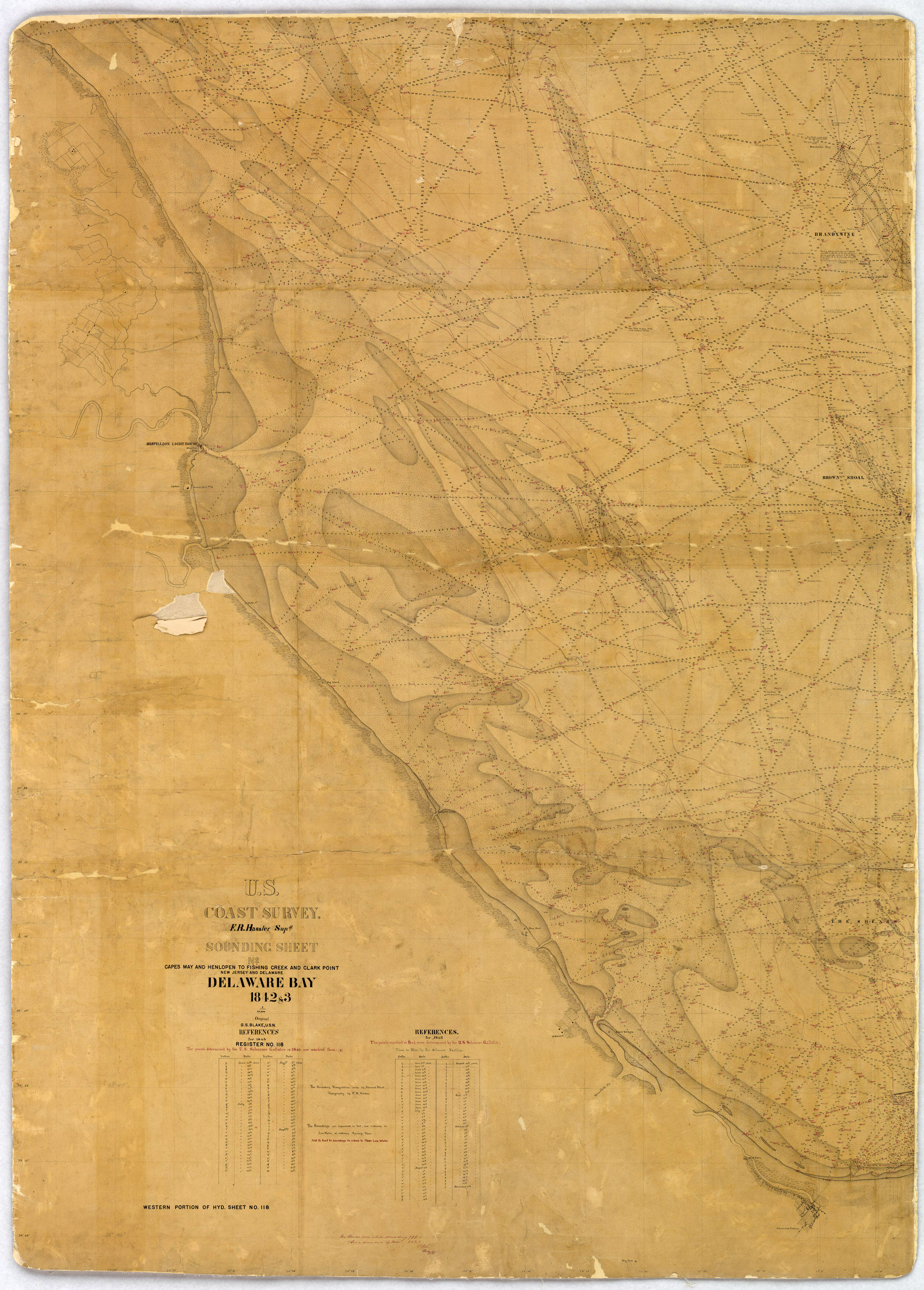
H00118: NOS Hydrographic Survey , 1843-12-31
National Oceanic and Atmospheric Administration, Department of Commerce —
The National Oceanic and Atmospheric Administration (NOAA) has the statutory mandate to collect hydrographic data in support of nautical chart compilation for safe... -
Federal
H11992: NOS Hydrographic Survey , Mid-Atlantic Corridor, Maryland, 2008-12-19
National Oceanic and Atmospheric Administration, Department of Commerce —
The National Oceanic and Atmospheric Administration (NOAA) has the statutory mandate to collect hydrographic data in support of nautical chart compilation for safe... -
Federal
H02710: NOS Hydrographic Survey
National Oceanic and Atmospheric Administration, Department of Commerce —
The National Oceanic and Atmospheric Administration (NOAA) has the statutory mandate to collect hydrographic data in support of nautical chart compilation for safe... -
Federal
H11019: NOS Hydrographic Survey , Townsends Inlet to Two Mile Beach, New Jersey, 2002-10-03
National Oceanic and Atmospheric Administration, Department of Commerce —
The National Oceanic and Atmospheric Administration (NOAA) has the statutory mandate to collect hydrographic data in support of nautical chart compilation for safe...

Official websites use .gov
A
.gov website belongs to an official government
organization in the United States.
Secure .gov websites use HTTPS
A
lock (
) or https:// means you’ve safely connected to
the .gov website. Share sensitive information only on official,
secure websites.
.jpg)
.jpg)
.jpg)
.jpg)
.jpg)