
-
Federal
NOAA NEXt-Generation RADar (NEXRAD) Products NGDA 94 recent views
National Oceanic and Atmospheric Administration, Department of Commerce —
This dataset consists of Level III weather radar products collected from Next-Generation Radar (NEXRAD) stations located in the contiguous United States, Alaska,... -
Federal
GHRSST Level 4 MUR Global Foundation Sea Surface Temperature Analysis (v4.1) NGDA
National Aeronautics and Space Administration —
A Group for High Resolution Sea Surface Temperature (GHRSST) Level 4 sea surface temperature analysis produced as a retrospective dataset (four day latency) and near-... -
Federal
RapidScat Level 2B Climate Ocean Wind Vectors in 12.5km Footprints Version 2.0
National Aeronautics and Space Administration —
This dataset contains the RapidScat Level 2B 12.5km Version 2.0 Climate quality ocean surface wind vectors. The Level 2B wind vectors are binned on a 12.5 km Wind... -
Federal
AIRS/Aqua L1B Infrared (IR) geolocated and calibrated radiances V005 (AIRIBRAD) at GES DISC at GES DISC
National Aeronautics and Space Administration —
WARNING: On 2021/09/23 the EOS Aqua executed a Deep Space Maneuver (DSM). In the DSM, the spacecraft is turned such that the normal Earth field of regard is deep... -
Federal
AIRS/Aqua L1B Near Real Time (NRT) Infrared (IR) geolocated and calibrated radiances V005 (AIRIBRAD_NRT) at GES DISC
National Aeronautics and Space Administration —
WARNING: On 2021/09/23 the EOS Aqua executed a Deep Space Maneuver (DSM). In the DSM, the spacecraft is turned such that the normal Earth field of regard is deep... -
Federal
Aquarius Official Release Level 3 Rain-flagged Sea Surface Salinity Standard Mapped Image Descending 28-Day Running Mean Data V5.0
National Aeronautics and Space Administration —
Aquarius Level 3 sea surface salinity (SSS) rain-flagged standard mapped image data contains gridded 1 degree spatial resolution SSS averaged over daily, 7 day,... -
Federal
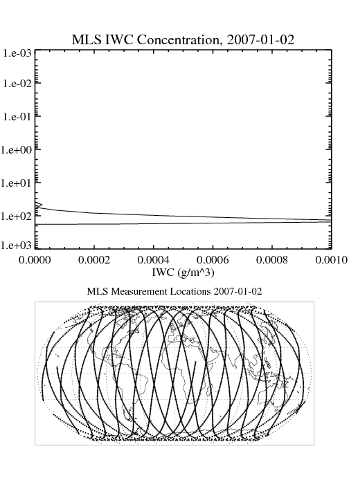
MLS/Aura Level 2 Cloud Ice Product V004 (ML2IWC) at GES DISC
National Aeronautics and Space Administration —
ML2IWC is the EOS Aura Microwave Limb Sounder (MLS) standard product for cloud ice water content derived from radiances measured by the 240 GHz radiometer. The data... -
Federal
GHRSST NOAA/STAR GOES-17 ABI L3C America Region SST v2.71 dataset in GDS2
National Aeronautics and Space Administration —
The ACSPO G17/ABI L3C (Level 3 Collated) product is a gridded version of the ACSPO G17/ABI L2P product available at... -
Federal
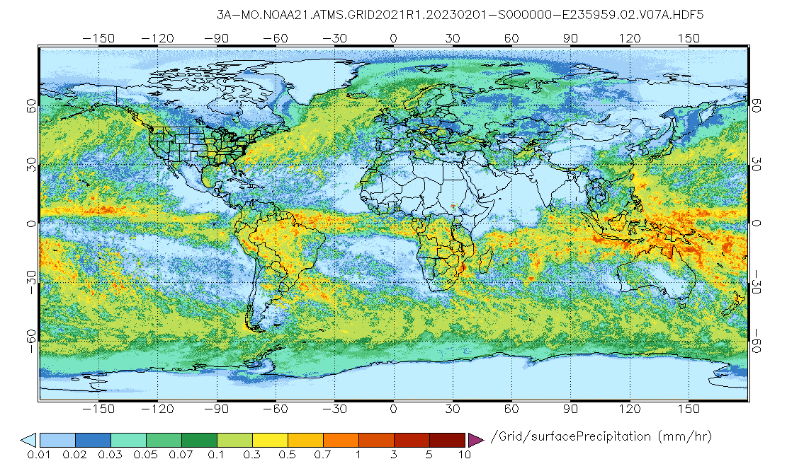
GPM ATMS on NOAA-21 (GPROF) Radiometer Precipitation Profiling L3 1 month 0.25 degree x 0.25 degree V07 (GPM_3GPROFNOAA21ATMS) at GES DISC
National Aeronautics and Space Administration —
Version 07 is the current version of the data set. 3GPROF products provide global gridded monthly/daily precipitation averages from multiple satellites that can be... -
Federal
Marine angler expenditures 2006 (NCEI Accession 0145343)
National Oceanic and Atmospheric Administration, Department of Commerce —
Angler expenditures for their most recent trip in 2006, by fishing mode - for-hire, private boat, shore. Includes categories such as bait, ice, fuel, lodging, meals,... -
Federal
Polar Winds II - Doppler Aerosol WiNd (DAWN) - DC8
National Aeronautics and Space Administration —
PolarWindsII_DAWN_DC8_1 is the Polar Winds II - Doppler Aerosol WiNd (DAWN) - DC8 data product. Data collection for this product is complete. Beginning in the fall of... -
Federal
GPM ATMS on NOAA-21 (GPROF) Climate-based Radiometer Precipitation Profiling L3 1 day 0.25 degree x 0.25 degree V07 (GPM_3GPROFNOAA21ATMS_DAY_CLIM) at GES DISC
National Aeronautics and Space Administration —
Version 07 is the current version of the data set. Older versions are no longer available and have been superseded by Version 07. The "CLIM" products differ from... -
Federal
GPM Ground Validation Goddard Profiling Algorithm (GPROF) 2014 IFloodS V3
National Aeronautics and Space Administration —
The GPM Ground Validation Goddard Profiling Algorithm (GPROF) 2014 IFloodS dataset consists of precipitation data derived from microwave radiometers and sounders... -
Federal
Aquarius Official Release Level 3 Sea Surface Salinity Standard Mapped Image Descending Daily Data V5.0
National Aeronautics and Space Administration —
Aquarius Level 3 sea surface salinity (SSS) standard mapped image data contains gridded 1 degree spatial resolution SSS averaged over daily, 7 day, monthly, and... -
Federal
GLDAS Catchment Land Surface Model L4 daily 0.25 x 0.25 degree GRACE-DA1 V2.2 (GLDAS_CLSM025_DA1_D) at GES DISC
National Aeronautics and Space Administration —
NASA Global Land Data Assimilation System Version 2 (GLDAS-2) has three components: GLDAS-2.0, GLDAS-2.1, and GLDAS-2.2. GLDAS-2.0 is forced entirely with the... -
Federal
JPL GRACE and GRACE-FO Mascon Ocean, Ice, and Hydrology Equivalent Water Height Coastal Resolution Improvement (CRI) Filtered Release 06.1 Version 03
National Aeronautics and Space Administration —
This dataset contains gridded monthly global water storage/height anomalies relative to a time-mean, derived from GRACE and GRACE-FO and processed at JPL using the... -
Federal
GLDAS Catchment Land Surface Model L4 daily 0.25 x 0.25 degree GRACE-DA1 V2.2 (GLDAS_CLSM025_DA1_D_EP) at GES DISC
National Aeronautics and Space Administration —
NASA Global Land Data Assimilation System Version 2 (GLDAS-2) has three components: GLDAS-2.0, GLDAS-2.1, and GLDAS-2.2. GLDAS-2.0 is forced entirely with the... -
Federal
NUCAPS: NOAA Unique Combined Atmospheric Processing System Outgoing Longwave Radiation (OLR)
National Oceanic and Atmospheric Administration, Department of Commerce —
This data set consists of Outgoing Longwave Radiation (OLR) from the NOAA Unique Combined Atmospheric Processing System (NUCAPS). NUCAPS was developed by the... -
Federal
AFSC/NMML: Bowhead whale aerial surveys and photography near Barrow, Alaska, from 1979-1992
National Oceanic and Atmospheric Administration, Department of Commerce —
Bowhead whales were documented during their spring migration most years from 1979 to 1992 by biologists from NMML. This documentation consisted of flying aerial...

Official websites use .gov
A
.gov website belongs to an official government
organization in the United States.
Secure .gov websites use HTTPS
A
lock (
) or https:// means you’ve safely connected to
the .gov website. Share sensitive information only on official,
secure websites.