
-
Federal
Sea turtle population study in the coastal waters of North Carolina from 1988-06-07 to 2015-09-22 (NCEI Accession 0162846) 19 recent views
National Oceanic and Atmospheric Administration, Department of Commerce —
This data set contains sea turtle length and weight measurements, sex ratios, species composition, capture and release locations, tagging information, and information... -
Federal
R-Factor for the Conterminous United States 15 recent views
National Oceanic and Atmospheric Administration, Department of Commerce —
The rainfall-runoff erosivity factor (R-Factor) quantifies the effects of raindrop impacts and reflects the amount and rate of runoff associated with the rain. The... -
Federal
Shoreline Mapping Program of HEAD OF GREEN BAY TO PESHTIGO POINT, INCLUDING FOX RIVER TO DE PERE, WI, WI1001G-CM-N NGDA
National Oceanic and Atmospheric Administration, Department of Commerce —
These data provide an accurate high-resolution shoreline compiled from imagery of HEAD OF GREEN BAY TO PESHTIGO POINT, INCLUDING FOX RIVER TO DE PERE, WI . This... -
Federal
AFSC/RACE/GAP/Yeung: Eastern Bering Sea Essential Fish Habitat Benthic Data
National Oceanic and Atmospheric Administration, Department of Commerce —
Benthic samples were collected between 2009-2012 in the Bering Sea to study Essential Fish Habitat. Station locations were at or near fixed stations of the AFSC... -
Federal
Essential Fish Habitat, Pacific Salmon GIS Data
National Oceanic and Atmospheric Administration, Department of Commerce —
This file represents salmonid freshwater and estuarine Essential Fish Habitat (EFH) in the western United States. Congress, through the Magnuson-Stevens Act, defined... -
Federal
2016 NOAA NGS Topobathy Lidar: Sugarloaf Key to Big Pine Key, Florida
National Oceanic and Atmospheric Administration, Department of Commerce —
These data were collected by NOAA using a Riegl VQ880G sensor. The data were acquired from October 11, 2016 through October 24, 2016. The data includes topobathy data... -
Federal
H10749A: NOS Hydrographic Survey , Approaches to Port Everglades, Florida, 1998-06-10
National Oceanic and Atmospheric Administration, Department of Commerce —
The National Oceanic and Atmospheric Administration (NOAA) has the statutory mandate to collect hydrographic data in support of nautical chart compilation for safe... -
Federal
Shoreline Mapping Program of Intracoastal Waterway, Dollar Bay to Johnson Bay, FL, FL1601D-CM-N NGDA
National Oceanic and Atmospheric Administration, Department of Commerce —
These data provide an accurate high-resolution shoreline compiled from imagery of Intracoastal Waterway, Dollar Bay to Johnson Bay, FL . This vector shoreline data is... -
Federal
Shoreline Data Rescue Project of Beaufort Harbor, North Carolina, NC13A03 NGDA
National Oceanic and Atmospheric Administration, Department of Commerce —
These data were automated to provide an accurate high-resolution historical shoreline of Beaufort Harbor, North Carolina suitable as a geographic information system... -
Federal
Shoreline Mapping Program of Little Hickory Island to Doctors Pass, FL, FL1601C-CM-N NGDA
National Oceanic and Atmospheric Administration, Department of Commerce —
These data provide an accurate high-resolution shoreline compiled from imagery of Little Hickory Island to Doctors Pass, FL . This vector shoreline data is based on... -
Federal
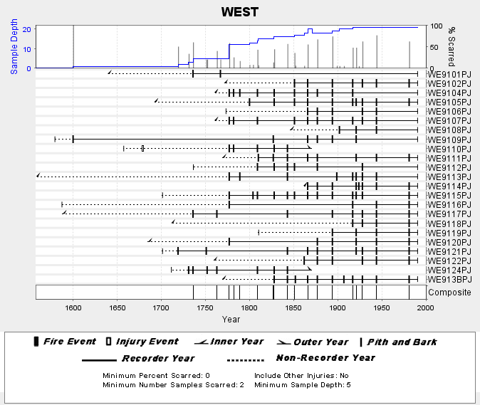
NOAA/WDS Paleoclimatology - Skinner fire data from WEST (San Pedro Martir) - IMPD MXWES001
National Oceanic and Atmospheric Administration, Department of Commerce —
This archived Paleoclimatology Study is available from the NOAA National Centers for Environmental Information (NCEI), under the World Data Service (WDS) for... -
Federal
Sound recordings and echolocation logs from Tuxedni Bay and Chinitna Bay, Cook Inlet, Alaska, September 2021 to September 2022
National Oceanic and Atmospheric Administration, Department of Commerce —
Sound recordings were made in Tuxedni Bay and Chinitna Bays, Cook Inlet, Alaska. These recordings (files.wav) were made from ST-600HF sound recorders (Ocean... -
Federal
Animal Tracking Data
National Oceanic and Atmospheric Administration, Department of Commerce —
Since 2009 PSB has been collecting satellite tag telemetry data from sea turtles and other protected species. -
Federal
Marine Protected Areas (MPA) Inventory 2023-2024 NGDA
National Oceanic and Atmospheric Administration, Department of Commerce —
The NOAA MPA Inventory represents a collection of data compiled from various federal, state, tribal and territorial entities to provide a publicly available source of... -
Federal
Shoreline Data Rescue Project of Everglades City to Venice, CM-7808 NGDA
National Oceanic and Atmospheric Administration, Department of Commerce —
These data were automated to provide an accurate high-resolution historical shoreline of Everglades City to Venice suitable as a geographic information system (GIS)... -
Federal
Shoreline Data Rescue Project of Craney Island, Virginia, EC11B04 NGDA
National Oceanic and Atmospheric Administration, Department of Commerce —
These data were automated to provide an accurate high-resolution historical shoreline of Craney Island, Virginia suitable as a geographic information system (GIS)... -
Federal
2010 Northern San Francisco Bay Area Lidar: Portions of Alameda, Contra Costa, Marin, Napa, San Francisco, Solano, and Sonoma Counties
National Oceanic and Atmospheric Administration, Department of Commerce —
This Light Detection and Ranging (LiDAR) dataset is a survey of northern San Francisco Bay, California. The project area consists of approximately 437 square miles in... -
Federal
H03223: NOS Hydrographic Survey
National Oceanic and Atmospheric Administration, Department of Commerce —
The National Oceanic and Atmospheric Administration (NOAA) has the statutory mandate to collect hydrographic data in support of nautical chart compilation for safe... -
Federal
H06749: NOS Hydrographic Survey , 1942-09-26
National Oceanic and Atmospheric Administration, Department of Commerce —
The National Oceanic and Atmospheric Administration (NOAA) has the statutory mandate to collect hydrographic data in support of nautical chart compilation for safe... -
Federal
H05329: NOS Hydrographic Survey , Chesapeake Bay, Maryland, 1933-07-18
National Oceanic and Atmospheric Administration, Department of Commerce —
The National Oceanic and Atmospheric Administration (NOAA) has the statutory mandate to collect hydrographic data in support of nautical chart compilation for safe...

Official websites use .gov
A
.gov website belongs to an official government
organization in the United States.
Secure .gov websites use HTTPS
A
lock (
) or https:// means you’ve safely connected to
the .gov website. Share sensitive information only on official,
secure websites.