
-
Federal
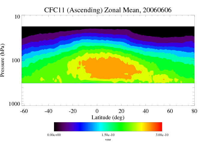
HIRDLS/Aura Level 3 Chlorofluorocarbon-11 (CFC-11) 1deg Lat Zonal Fourier Coefficients V007 (H3ZFCCFC11) at GES DISC
National Aeronautics and Space Administration —
The "HIRDLS/Aura Level 3 Chlorofluorocarbon-11 (CFC-11) Zonal Fourier Coefficients" version 7 data product (H3ZFCCFC11) contains the entire mission (~3 years) of... -
Federal
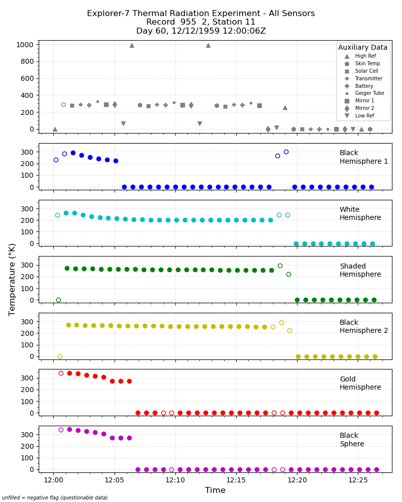
Explorer-7 Thermal Radiation Experiment Temperature Values from All Sensors V001 (EXP7L1TRTALL) at GES DISC
National Aeronautics and Space Administration —
Explorer-7 Thermal Radiation Experiment Temperature Values from All Sensors product contains temperature readings from all five bolometers in order to measure solar,... -
Federal
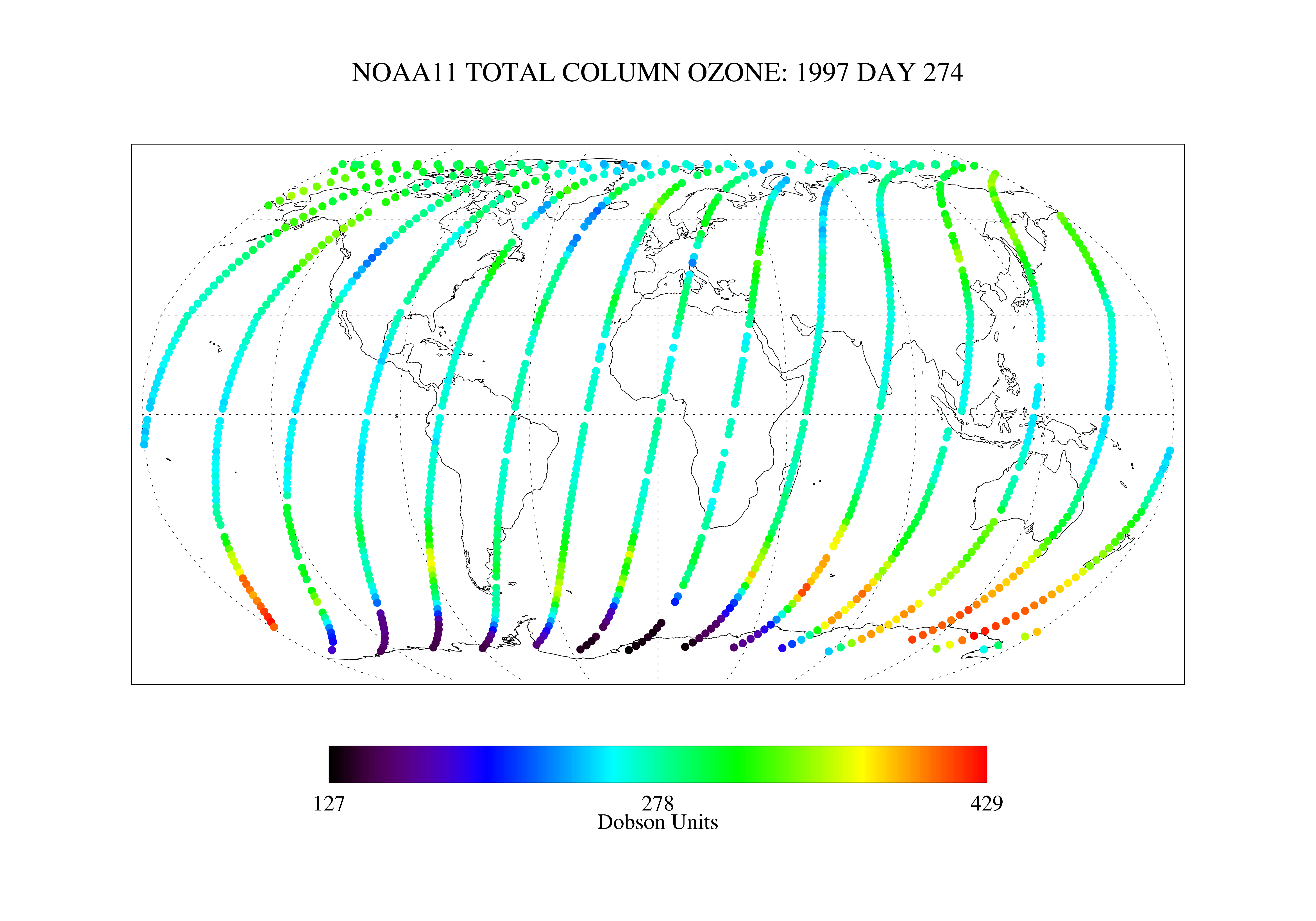
SBUV2/NOAA-11 Ozone (O3) Nadir Profile and Total Column 1 Day L2 V1 (SBUV2N11L2) at GES DISC
National Aeronautics and Space Administration —
The Solar Backscattered Ultraviolet (SBUV) from NOAA-11 Level-2 daily product (SBUV2N11L2) contains ozone nadir profile and total column data from retrievals... -
Federal
MERRA-2 tavgU_2d_glc_Nx: 2d,diurnal,Time-Averaged,Single-Level,Assimilation,Land Ice Surface Diagnostics 0.625 x 0.5 degree V5.12.4 (M2TUNXGLC) at GES DISC
National Aeronautics and Space Administration —
M2TUNXGLC (or tavgU_2d_glc_Nx) is a 2-dimensional monthly diurnal means data collection in Modern-Era Retrospective analysis for Research and Applications version 2... -
Federal
MERRA-2 tavg3_3d_rad_Nv: 3d,3-Hourly,Time-Averaged,Model-Level,Assimilation,Radiation Diagnostics 0.625 x 0.5 degree V5.12.4 (M2T3NVRAD) at GES DISC
National Aeronautics and Space Administration —
M2T3NVRAD (or tavg3_3d_rad_Nv) is a 3-dimensional 3-hourly time averaged data collection in Modern-Era Retrospective analysis for Research and Applications version 2... -
Federal
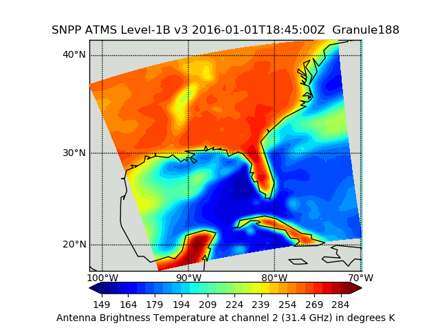
Suomi NPP ATMS Sounder Science Investigator-led Processing System (SIPS) Level 1B Brightness Temperature V3 (SNPPATMSL1B) at GES DISC
National Aeronautics and Space Administration —
The Advanced Technology Microwave Sounder (ATMS) Level 1B data files contain brightness temperature measurements along with ancillary spacecraft, instrument, and... -
Federal
VISSR/SMS-2 Level 1 Atmospheric and Oceanographic Image Processing System (AOIPS) Data V001 (VISSRSMS2L1AOIPS) at GES DISC
National Aeronautics and Space Administration —
VISSRSMS2L1AOIPS is the Visible Infrared Spin-Scan Radiometer (VISSR) Level 1 Atmospheric and Oceanographic Image Processing System (AOIPS) data product from the... -
Federal
GLDAS Noah Land Surface Model L4 monthly 1.0 x 1.0 degree V2.0 (GLDAS_NOAH10_M) at GES DISC
National Aeronautics and Space Administration —
NASA Global Land Data Assimilation System Version 2 (GLDAS-2) has three components: GLDAS-2.0, GLDAS-2.1, and GLDAS-2.2. GLDAS-2.0 is forced entirely with the... -
Federal
MERRA-2 tavg3_3d_rad_Np: 3d,3-Hourly,Time-Averaged,Pressure-Level,Assimilation,Radiation Diagnostics 0.625 x 0.5 degree V5.12.4 (M2T3NPRAD) at GES DISC
National Aeronautics and Space Administration —
M2T3NPRAD (or tavg3_3d_rad_Np) is a 3-dimensional 3-hourly time averaged data collection in Modern-Era Retrospective analysis for Research and Applications version 2... -
Federal
GEOS-Carb CASA-GFED Daily Fire and Fuel Emissions 0.5 degree x 0.5 degree V2 (GEOS_CASAGFED_D_FIRE) at GES DISC
National Aeronautics and Space Administration —
This product provides Daily average wildfire emissions (FIRE) and fuel wood burning emissions (FUEL) derived from the Carnegie-Ames-Stanford-Approach – Global Fire... -
Federal
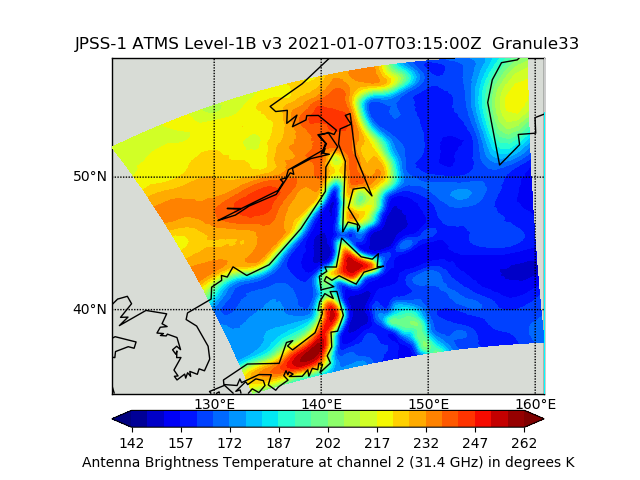
JPSS-1 ATMS Level 1B Brightness Temperature V3 (SNDRJ1ATMSL1B) at GES DISC
National Aeronautics and Space Administration —
The Advanced Technology Microwave Sounder (ATMS) Level 1B data files contain brightness temperature measurements along with ancillary spacecraft, instrument, and... -
Federal
MERRA-2 tavgM_2d_int_Nx: 2d,Monthly mean,Time-Averaged,Single-Level,Assimilation,Vertically Integrated Diagnostics 0.625 x 0.5 degree V5.12.4 (M2TMNXINT) at GES DISC
National Aeronautics and Space Administration —
M2TMNXINT (or tavgM_2d_int_Nx) is a time-averaged 2-dimensional monthly mean data collection in Modern-Era Retrospective analysis for Research and Applications... -
Federal
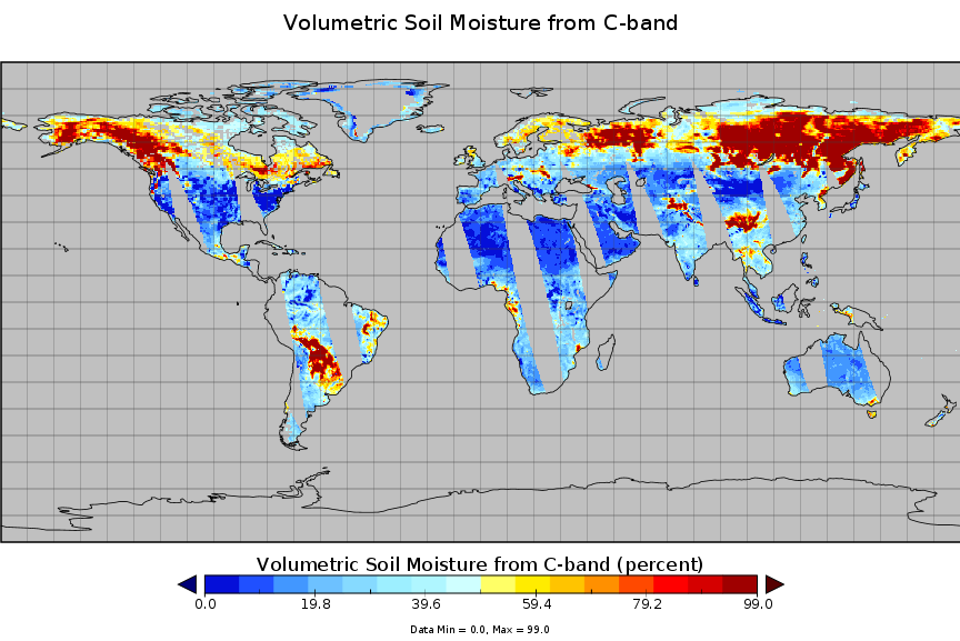
AMSR-E/Aqua surface soil moisture (LPRM) L3 1 day 25 km x 25 km ascending V002 (LPRM_AMSRE_A_SOILM3) at GES DISC
National Aeronautics and Space Administration —
AMSR-E/Aqua surface soil moisture (LPRM) L3 1 day 25 km x 25 km ascending V002 is a Level 3 (gridded) data set. Its land surface parameters, surface soil moisture,... -
Federal
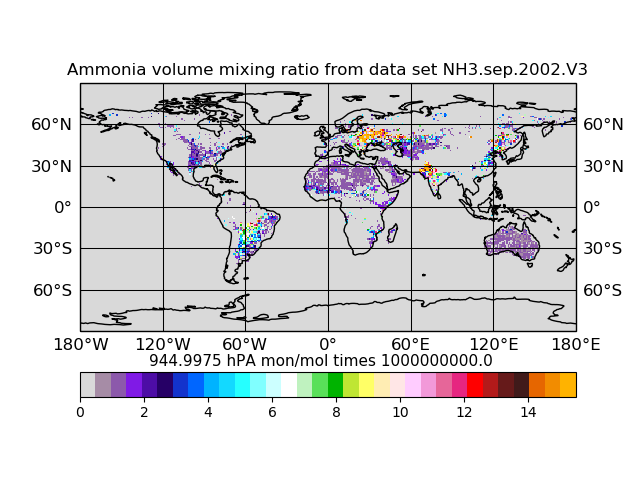
Atmospheric Composition Ammonia Volume Mixing Ratio L3 (AIRSAC3MNH3 V3) from AIRS/AMSU on NASA Aqua at GES DISC
National Aeronautics and Space Administration —
The mass concentration ammonia in the atmosphere, consists of products generated for the study of atmospheric ammonia. Atmospheric ammonia is an important component... -
Federal
OCO-2 Level 2 spatially ordered geolocated retrievals screened using the IMAP-DOAS Preprocessor (IDP) V11.2 (OCO2_L2_IMAPDOAS) at GES DISC
National Aeronautics and Space Administration —
Version 11.2 is the current version of the data set. Older versions will no longer be available and are superseded by Version 11.2. The Orbiting Carbon Observatory is... -
Federal
MERRA-2 tavgM_2d_lfo_Nx: 2d,Monthly mean,Time-Averaged,Single-Level,Assimilation,Land Surface Forcings 0.625 x 0.5 degree V5.12.4 (M2TMNXLFO) at GES DISC
National Aeronautics and Space Administration —
M2TMNXLFO (or tavgM_2d_lfo_Nx) is a time-averaged 2-dimensional monthly mean data collection in Modern-Era Retrospective analysis for Research and Applications... -
Federal
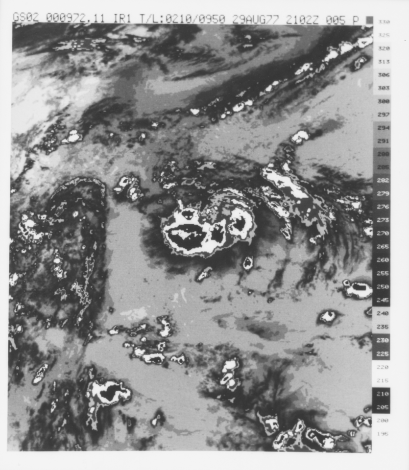
VISSR/GOES-2 Infrared Imagery on 70mm Film V001 (VISSRGOES2IMIR) at GES DISC
National Aeronautics and Space Administration —
VISSRGOES2IMIR is the Visible Infrared Spin-Scan Radiometer (VISSR) Infrared Imagery on 70mm Film data product from the second Geostationary Operational Environmental... -
Federal
Sentinel-5P TROPOMI Tropospheric Formaldehyde HCHO 1-Orbit L2 7km x 3.5km V1 (S5P_L2__HCHO__) at GES DISC
National Aeronautics and Space Administration —
Starting from August 6th in 2019, Sentinel-5P TROPOMI along-track high spatial resolution (~5.5km at nadir) has been implemented. Starting from July 13th in 2020,... -
Federal
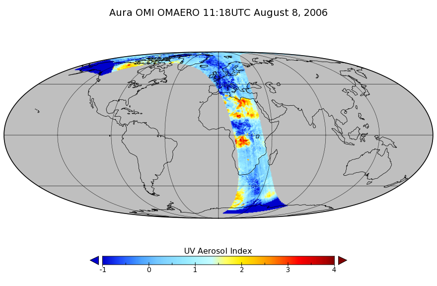
OMI/Aura Multi-wavelength Aerosol Optical Depth and Single Scattering Albedo 1-orbit L2 Swath 13x24 km V003 (OMAERO) at GES DISC
National Aeronautics and Space Administration —
The Level-2 Aura Ozone Monitoring Instrument (OMI) Aerosol Product (OMAERO) is now available from NASA Goddard Earth Sciences Data and Information Services Center... -
Federal
MERRA-2 tavgU_3d_rad_Np: 3d,diurnal,Time-Averaged,Pressure-Level,Assimilation,Radiation Diagnostics 0.625 x 0.5 degree V5.12.4 (M2TUNPRAD) at GES DISC
National Aeronautics and Space Administration —
M2TUNPRAD (or tavgU_3d_rad_Np) is a 3-dimensional monthly diurnal means data collection in Modern-Era Retrospective analysis for Research and Applications version 2...

Official websites use .gov
A
.gov website belongs to an official government
organization in the United States.
Secure .gov websites use HTTPS
A
lock (
) or https:// means you’ve safely connected to
the .gov website. Share sensitive information only on official,
secure websites.