
-
Federal
H11702: NOS Hydrographic Survey , Chatham Strait, Alaska, 2007-09-11 recent views
National Oceanic and Atmospheric Administration, Department of Commerce —
The National Oceanic and Atmospheric Administration (NOAA) has the statutory mandate to collect hydrographic data in support of nautical chart compilation for safe... -
Federal
Aquarius Official Release Level 3 Sea Surface Density Standard Mapped Image Ascending Daily Data V5.0 recent views
National Aeronautics and Space Administration —
Aquarius Level 3 sea surface density standard mapped image data contains gridded 1 degree spatial resolution density data averaged over daily, 7 day, monthly, and... -
Federal
F00596: NOS Hydrographic Survey , Hudson River, New York, 2010-11-26 recent views
National Oceanic and Atmospheric Administration, Department of Commerce —
The National Oceanic and Atmospheric Administration (NOAA) has the statutory mandate to collect hydrographic data in support of nautical chart compilation for safe... -
Federal
Hydrographic and Impairment Statistics Database: WWII recent views
Department of the Interior —
(Note: 2/8/17, updated title and unit link to use the current unit code of WWII) Hydrographic and Impairment Statistics (HIS) is a National Park Service (NPS) Water... -
Federal
Hydrographic and Impairment Statistics Database: BISO recent views
Department of the Interior —
Hydrographic and Impairment Statistics (HIS) is a National Park Service (NPS) Water Resources Division (WRD) project established to track certain goals created in... -
Federal
Hydrographic and Impairment Statistics Database: BADL recent views
Department of the Interior —
Hydrographic and Impairment Statistics (HIS) is a National Park Service (NPS) Water Resources Division (WRD) project established to track certain goals created in... -
Federal
Hydrographic and Impairment Statistics Database: TOSY recent views
Department of the Interior —
Hydrographic and Impairment Statistics (HIS) is a National Park Service (NPS) Water Resources Division (WRD) project established to track certain goals created in... -
Federal
H13660: NOS Hydrographic Survey , 2022-08-26 recent views
National Oceanic and Atmospheric Administration, Department of Commerce —
The National Oceanic and Atmospheric Administration (NOAA) has the statutory mandate to collect hydrographic data in support of nautical chart compilation for safe... -
Federal
CRED 60 m Gridded bathymetry and IKONOS estimated depths of UTM Zone 2, Northwestern Hawaiian Islands, USA (NetCDF format) recent views
National Oceanic and Atmospheric Administration, Department of Commerce —
Gridded bathymetry and IKONOS estimated depths of the shelf and slope environments of the Northwestern Hawaiian Islands, USA within UTM Zone 2. Bottom coverage was... -
Federal
Preliminary hard and soft bottom seafloor substrate map (5m grid) derived from an unsupervised classification of gridded backscatter and bathymetry derivatives at Rose Atoll Lagoon, Territory of American Samoa, USA. recent views
National Oceanic and Atmospheric Administration, Department of Commerce —
Preliminary hard and soft seafloor substrate map derived from an unsupervised classification of multibeam backscatter and bathymetry derivatives at Rose Atoll Lagoon,... -
Federal
Aquarius Official Release Level 3 Sea Surface Density Standard Mapped Image Ascending Seasonal Data V5.0 recent views
National Aeronautics and Space Administration —
Aquarius Level 3 sea surface density standard mapped image data contains gridded 1 degree spatial resolution density data averaged over daily, 7 day, monthly, and... -
Federal
Aquarius Official Release Level 3 Sea Surface Spiciness Standard Mapped Image Descending Monthly Climatology Data V5.0 recent views
National Aeronautics and Space Administration —
Aquarius Level 3 sea surface spiciness standard mapped image data contains gridded 1 degree spatial resolution spice data averaged over daily, 7 day, monthly, and... -
Federal
Aquarius Official Release Level 3 Ancillary Reynolds Sea Surface Temperature Standard Mapped Image Ascending Seasonal Climatology Data V5.0 recent views
National Aeronautics and Space Administration —
Aquarius Level 3 ancillary sea surface temperature (SST) standard mapped image data are the ancillary SST data used in the Aquarius calibration for salinity... -
Federal
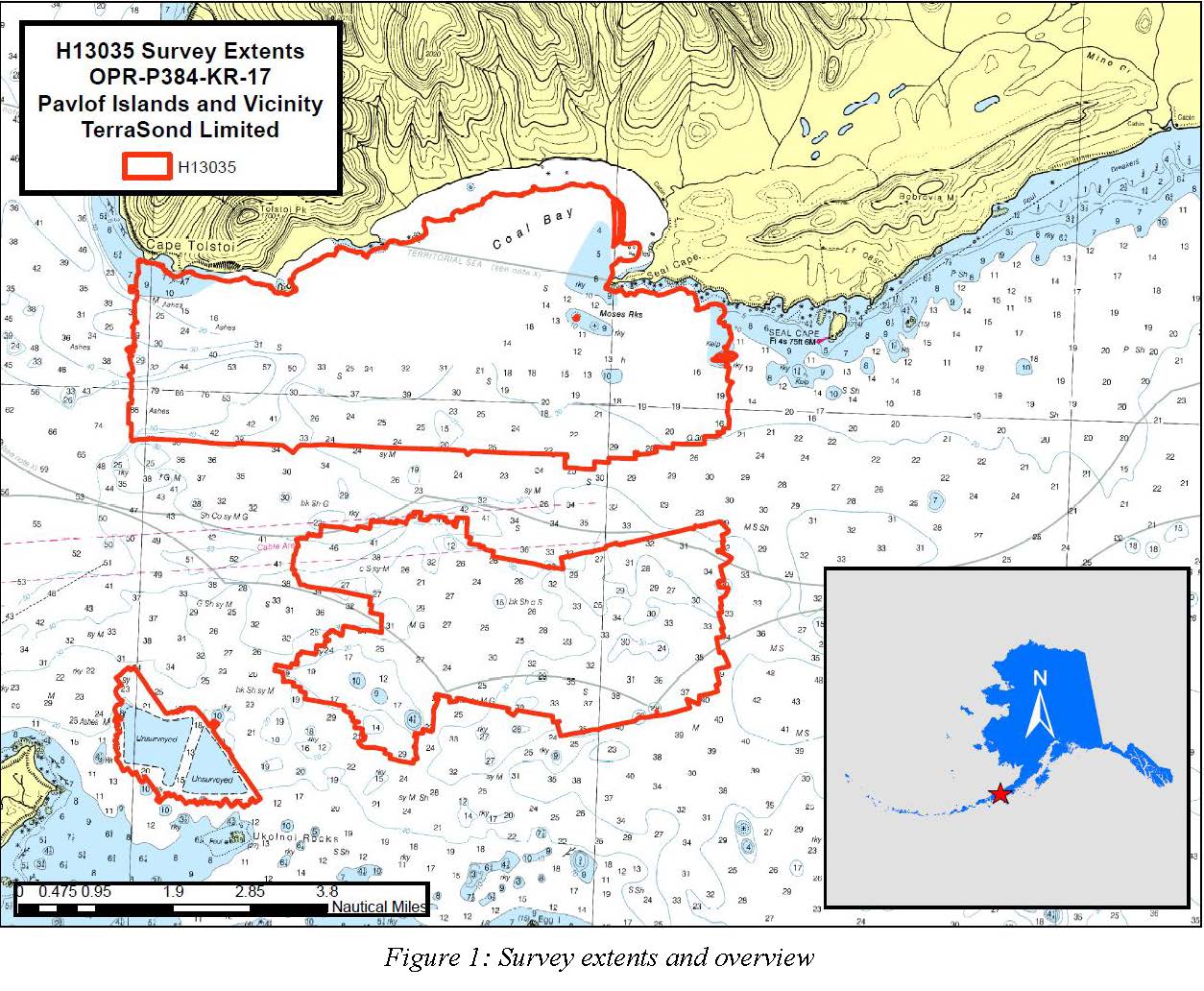
H13035: NOS Hydrographic Survey , Pavlof Islands and Vicinity, 2017-09-26 recent views
National Oceanic and Atmospheric Administration, Department of Commerce —
The National Oceanic and Atmospheric Administration (NOAA) has the statutory mandate to collect hydrographic data in support of nautical chart compilation for safe... -
Federal
Gulf of Mexico Hypoxia Watch Bottom Dissolved Oxygen Contours for June and July SEAMAP Cruise of 2015 recent views
National Oceanic and Atmospheric Administration, Department of Commerce —
The NOAA Hypoxia Watch project provides near-real-time, web-based maps of dissolved oxygen near the sea floor over the Texas-Louisiana continental shelf during a... -
Federal
Aquarius Official Release Level 3 Sea Surface Salinity Standard Mapped Image Daily Data V5.0 recent views
National Aeronautics and Space Administration —
Aquarius Level 3 sea surface salinity (SSS) standard mapped image data contains gridded 1 degree spatial resolution SSS averaged over daily, 7 day, monthly, and... -
Federal
W00224: NOS Hydrographic Survey , Approaches to Choptank River, Maryland, 2011-05-26 recent views
National Oceanic and Atmospheric Administration, Department of Commerce —
The National Oceanic and Atmospheric Administration (NOAA) has the statutory mandate to collect hydrographic data in support of nautical chart compilation for safe... -
Federal
Aquarius Official Release Level 3 Sea Surface Density Standard Mapped Image Mission Cumulative Data V5.0 recent views
National Aeronautics and Space Administration —
Aquarius Level 3 sea surface density standard mapped image data contains gridded 1 degree spatial resolution derived density averaged over daily, 7 day, monthly, and... -
Federal
Aquarius Official Release Level 3 Sea Surface Density Standard Mapped Image Annual Data V5.0 recent views
National Aeronautics and Space Administration —
Aquarius Level 3 sea surface density standard mapped image data contains gridded 1 degree spatial resolution SSS averaged over daily, 7 day, monthly, and seasonal...

Official websites use .gov
A
.gov website belongs to an official government
organization in the United States.
Secure .gov websites use HTTPS
A
lock (
) or https:// means you’ve safely connected to
the .gov website. Share sensitive information only on official,
secure websites.