
-
Federal
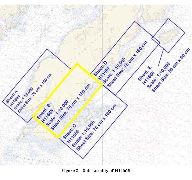
H11665: NOS Hydrographic Survey , Southeast Coast of Kodiak Island, Alaska, 2007-06-20 recent views
National Oceanic and Atmospheric Administration, Department of Commerce —
The National Oceanic and Atmospheric Administration (NOAA) has the statutory mandate to collect hydrographic data in support of nautical chart compilation for safe... -
Federal
H11439: NOS Hydrographic Survey , Southwestern Alaska Peninsula-Pavlof Islands, Alaska, 2005-08-12 recent views
National Oceanic and Atmospheric Administration, Department of Commerce —
The National Oceanic and Atmospheric Administration (NOAA) has the statutory mandate to collect hydrographic data in support of nautical chart compilation for safe... -
Federal
H12380: NOS Hydrographic Survey , Florida Keys National Marine Sanctuary, Florida, 2011-11-15 recent views
National Oceanic and Atmospheric Administration, Department of Commerce —
The National Oceanic and Atmospheric Administration (NOAA) has the statutory mandate to collect hydrographic data in support of nautical chart compilation for safe... -
Federal
W00077: NOS Hydrographic Survey , Outside Source Data - 2000, 2000-12-20 recent views
National Oceanic and Atmospheric Administration, Department of Commerce —
The National Oceanic and Atmospheric Administration (NOAA) has the statutory mandate to collect hydrographic data in support of nautical chart compilation for safe... -
Federal
H12271: NOS Hydrographic Survey , U. S. Virgin Islands, 2011-02-28 recent views
National Oceanic and Atmospheric Administration, Department of Commerce —
The National Oceanic and Atmospheric Administration (NOAA) has the statutory mandate to collect hydrographic data in support of nautical chart compilation for safe... -
Federal
D00146: NOS Hydrographic Survey , West of Prince of Wales Island, Alaska, 2008-09-03 recent views
National Oceanic and Atmospheric Administration, Department of Commerce —
The National Oceanic and Atmospheric Administration (NOAA) has the statutory mandate to collect hydrographic data in support of nautical chart compilation for safe... -
Federal
Near-Real Time Surface Ocean Velocity, Hawaii, 2 km Resolution recent views
National Oceanic and Atmospheric Administration, Department of Commerce —
Surface ocean velocities estimated from HF-Radar (HFR) are representative of the upper 0.3 - 2.5 meters of the ocean. The main objective of near-real time processing... -
Federal
Near-Real Time Surface Ocean Velocity, Hawaii, 1 km Resolution recent views
National Oceanic and Atmospheric Administration, Department of Commerce —
Surface ocean velocities estimated from HF-Radar (HFR) are representative of the upper 0.3 - 2.5 meters of the ocean. The main objective of near-real time processing... -
Federal
W00110: NOS Hydrographic Survey , Outside Source Data - 2000, 2000-12-20 recent views
National Oceanic and Atmospheric Administration, Department of Commerce —
The National Oceanic and Atmospheric Administration (NOAA) has the statutory mandate to collect hydrographic data in support of nautical chart compilation for safe... -
Federal
2020 NOAA/OCM Multibeam Backscatter: Bayfield, WI recent views
National Oceanic and Atmospheric Administration, Department of Commerce —
In July-September 2020, a hydrographic survey was conducted in three survey areas located on the western side of Bayfield Peninsula in southwestern Lake Superior.... -
Federal
D00143: NOS Hydrographic Survey , West of Prince of Wales Island, Alaska, 2008-09-03 recent views
National Oceanic and Atmospheric Administration, Department of Commerce —
The National Oceanic and Atmospheric Administration (NOAA) has the statutory mandate to collect hydrographic data in support of nautical chart compilation for safe...

Official websites use .gov
A
.gov website belongs to an official government
organization in the United States.
Secure .gov websites use HTTPS
A
lock (
) or https:// means you’ve safely connected to
the .gov website. Share sensitive information only on official,
secure websites.
.jpg)
.jpg)
.jpg)
.jpg)
.jpg)