
-
Federal
SWOT Level 2 Lake Single-Pass Vector Data Product, Version 2.0
National Aeronautics and Space Administration —
The SWOT Level 2 Lake Single-Pass Vector Data Product from the Surface Water Ocean Topography (SWOT) mission provides water surface elevation, area, storage change... -
Federal
SWOT Level 2 Lake Single-Pass Vector Unassigned Data Product, Version 2.0
National Aeronautics and Space Administration —
The SWOT Level 2 Lake Single-Pass Vector Unassigned Data Product from the Surface Water Ocean Topography (SWOT) mission provides water surface elevation, area,... -
Federal
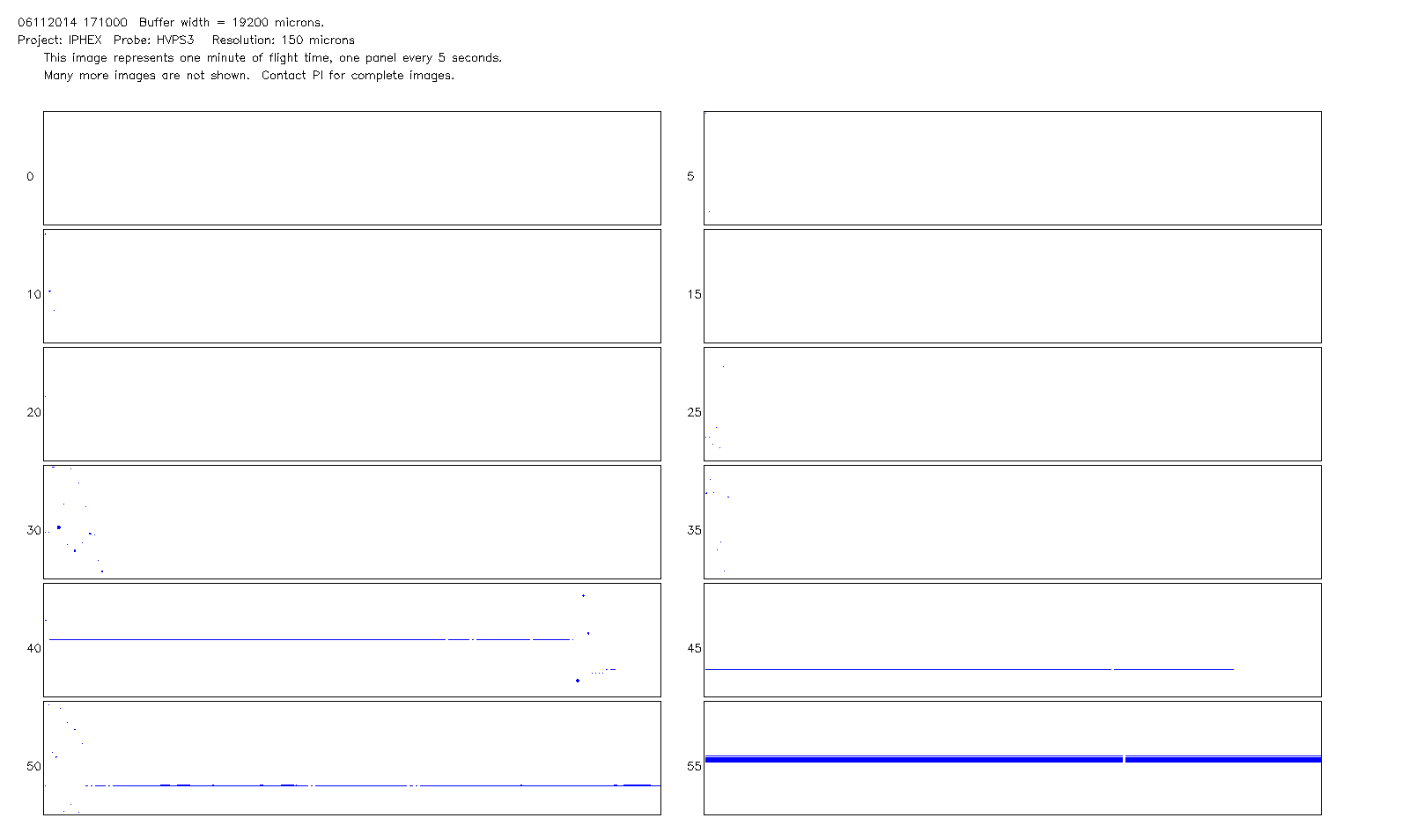
GPM Ground Validation NCAR Particle Probes IPHEx V1
National Aeronautics and Space Administration —
The GPM Ground Validation NCAR Particle Probes IPHEx dataset consists of Ice Water Content (IWC), particle number concentration normalized by bin width, and total... -
Federal
Sentinel-3A OLCI Regional Mapped Inland Waters (ILW) Data, version 4
National Aeronautics and Space Administration —
The Inland Waters dataset (ILW) provides data for lakes and other water bodies across the contiguous United States (CONUS) and Alaska. ILW significantly reduces the... -
Federal
SWOT Level 2 River Single-Pass Vector Reach Data Product, Version 2.0
National Aeronautics and Space Administration —
The SWOT Level 2 River Single-Pass Vector Reach Data Product from the Surface Water Ocean Topography (SWOT) mission provides water surface elevation, slope, width,... -
Federal
GPM Ground Validation Duke Microwave Radiometer (MWR) IPHEx V1
National Aeronautics and Space Administration —
The GPM Ground Validation Duke Microwave Radiometer (MWR) IPHEx dataset consists of data collected by the MWR, which is a sensitive microwave radiometer that detects... -
Federal
SWOT Level 2 Lake Single-Pass Vector Prior Data Product, Version 2.0
National Aeronautics and Space Administration —
The SWOT Level 2 Lake Single-Pass Vector Prior Data Product from the Surface Water Ocean Topography (SWOT) mission provides water surface elevation, area, storage... -
Federal
GPM Ground Validation Daily Precipitation OLYMPEX V1
National Aeronautics and Space Administration —
The GPM Ground Validation Daily Precipitation Olympic Mountain Experiment (OLYMPEX) dataset consists of a single netCDF-4 data file containing estimates of daily... -
Federal
Sentinel-3B OLCI Inland Waters (ILW) Data, version 4
National Aeronautics and Space Administration —
The Inland Waters dataset (ILW) provides data for lakes and other water bodies across the contiguous United States (CONUS) and Alaska. ILW significantly reduces the... -
Federal
MEaSUREs Calibrated Enhanced-Resolution Passive Microwave Daily EASE-Grid 2.0 Brightness Temperature ESDR V001
National Aeronautics and Space Administration —
This data set, part of the NASA Making Earth System Data Records for Use in Research Environments (MEaSUREs) program, is an improved, enhanced-resolution, gridded... -
Federal
Merged Sentinel-3A and Sentinel-3B OLCI Regional Mapped Inland Waters (ILW) Data, version 4
National Aeronautics and Space Administration —
The Inland Waters dataset (ILW) provides data for lakes and other water bodies across the contiguous United States (CONUS) and Alaska. ILW significantly reduces the... -
Federal
High Mountain Asia 12 km Modeled Estimates of Aerosol Transport, Chemistry, and Deposition Reanalysis, 2003-2019 V001 NGDA
National Aeronautics and Space Administration —
This data set contains a 12 km resolution, simulated reanalysis of aerosol transport, chemistry, and deposition over the High Mountain Asia (HMA) region for 1 January... -
Federal
GPM Ground Validation NOAA X-band Polarimetric Radar (NOXP) IPHEx V1
National Aeronautics and Space Administration —
The GPM Ground Validation NOAA X-band dual-Polarimetric radar (NOXP) IPHEx dataset consists of differential reflectivity, differential phase shift, co-polar cross... -
Federal
SWOT Level 2 River Single-Pass Vector Data Product, Version 2.0
National Aeronautics and Space Administration —
The SWOT Level 2 River Single-Pass Vector Data Product from the Surface Water Ocean Topography (SWOT) mission provides water surface elevation, slope, width, and... -
Federal
SWOT Level 2 Lake Single-Pass Vector Obs Data Product, Version 2.0
National Aeronautics and Space Administration —
The SWOT Level 2 Lake Single-Pass Vector Obs Data Product from the Surface Water Ocean Topography (SWOT) mission provides water surface elevation, area, storage... -
Federal
SWOT Level 2 River Single-Pass Vector Node Data Product, Version 2.0
National Aeronautics and Space Administration —
The SWOT Level 2 River Single-Pass Vector Node Data Product from the Surface Water Ocean Topography (SWOT) mission provides water surface elevation, slope, width, and... -
Federal
Sentinel-3B OLCI Regional Mapped Inland Waters (ILW) Data, version 4
National Aeronautics and Space Administration —
The Inland Waters dataset (ILW) provides data for lakes and other water bodies across the contiguous United States (CONUS) and Alaska. ILW significantly reduces the... -
Federal
High Mountain Asia LIS Model Terrestrial Hydrological Parameters V001
National Aeronautics and Space Administration —
The data provided in this data set are simulated using the Noah-Multiparameterization Land Surface Model (Noah-MP LSM) Version 3.6 within the NASA Land Information... -
Federal
GTOPO30 Hydro 1K
National Aeronautics and Space Administration —
HYDRO1k is a geographic database developed to provide comprehensive and consistent global coverage of topographically derived data sets, including streams, drainage...

Official websites use .gov
A
.gov website belongs to an official government
organization in the United States.
Secure .gov websites use HTTPS
A
lock (
) or https:// means you’ve safely connected to
the .gov website. Share sensitive information only on official,
secure websites.