
-
Federal
Shuttle Radar Topography Mission (SRTM) Images
National Aeronautics and Space Administration —
Culminating more than four years of processing data, NASA and the National Geospatial-Intelligence Agency (NGA) have completed Earth's most extensive global... -
Federal
FIREX-AQ Remotely Sensed Trace Gas Data
National Aeronautics and Space Administration —
FIREXAQ_TraceGas_AircraftRemoteSensing_DC8_Data are remotely sensed trace gas measurements conducted onboard the DC8 aircraft during FIREX-AQ. This product features... -
Federal
TES/Aura L2 Ancillary Special Observation Product V007
National Aeronautics and Space Administration —
TL2ANCS_7 is the Tropospheric Emission Spectrometer (TES)/Aura Level 2 Ancillary Special Observation Product Version 7 data product. TES was an instrument aboard... -
Federal
TES/Aura L2 Carbonyl Sulfide Nadir V007
National Aeronautics and Space Administration —
TL2OCSN_7 is the Tropospheric Emission Spectrometer (TES)/Aura Level 2 Atmospheric Temperatures Limb Version 7 data product. TES was an instrument aboard NASA's Aura... -
Federal
Global Pesticide Grids (PEST-CHEMGRIDS), Version 1.01
National Aeronautics and Space Administration —
The Global Pesticide Grids (PEST-CHEMGRIDS), Version 1.01 data set contains 20 of the most-used pesticide active ingredients on 6 dominant crops and 4 aggregated crop... -
Federal
ESMR/Nimbus-5 Images of Brightness Temperature on 70 mm Film V001 (ESMRN5IM) at GES DISC
National Aeronautics and Space Administration —
ESMRN5IM is the Nimbus-5 Electrically Scanning Microwave Radiometer (ESMR) data product containing daily brightness temperature images from 70-mm photofacsimile film... -
Federal
West Africa Coastal Vulnerability Mapping: Subset of Global Mammal and Amphibian Richness Grids, 2015 Release
National Aeronautics and Space Administration —
The West Africa Coastal Vulnerability Mapping: Subset of Global Mammal and Amphibian Richness Grids, 2015 Release was extracted from the NASA Socioeconomic Data and... -
Federal
TES/Aura L2 Carbonyl Sulfide Nadir Special Observation V007
National Aeronautics and Space Administration —
TL2OCSNS_7 is the Tropospheric Emission Spectrometer (TES)/Aura Level 2 Atmospheric Temperatures Limb Version 7 data product. TES was an instrument aboard NASA's Aura... -
Federal
TES/Aura L2 Ancillary Product V007
National Aeronautics and Space Administration —
TL2ANC_7 is the Tropospheric Emission Spectrometer (TES)/Aura Level 2 Ancillary Version 7 product . TES Level 2 data contain retrieved species (or temperature)... -
Federal
West Africa Coastal Vulnerability Mapping: GPW Version 4 Population Density, Preliminary Release 1, 2010
National Aeronautics and Space Administration —
The West Africa Coastal Vulnerability Mapping: GPW Version 4 Population Density, Preliminary Release 1, 2010, represents the number of persons per square kilometer,... -
Federal
MODIS/Aqua CLD Mask Spect. Results 250m and 1km 5-Min L2 Wide Swath Subset along CloudSat V002 (MAC35S1) at GES DISC NGDA
National Aeronautics and Space Administration —
This is the wide-swath MODIS/Aqua subset along CloudSat field of view track. The goal of the wide-swath subset is to select and return MODIS data that are within... -
Federal
TES/Aura L2 Carbon Dioxide Nadir Special Observation V007
National Aeronautics and Space Administration —
TL2CO2NS_7 is the Tropospheric Emission Spectrometer (TES)/Aura Level 2 Carbon Dioxide Nadir Special Observation Version 7 data product. TES Level 2 data contain... -
Federal
West Africa Coastal Vulnerability Mapping: Mangrove Forests Distribution, 2000 Polygon
National Aeronautics and Space Administration —
The West Africa Coastal Vulnerability Mapping: Mangrove Forests Distribution, 2000 Polygon data set was derived from the 30m resolution NASA Socioeconomic Data and... -
Federal
West Africa Coastal Vulnerability Mapping: Subset of JRC Map of Accessibility
National Aeronautics and Space Administration —
The West Africa Coastal Vulnerability Mapping: Subset of JRC Map of Accessibility data set is a 30 arc-second raster of travel time to major cities in West Africa... -
Federal
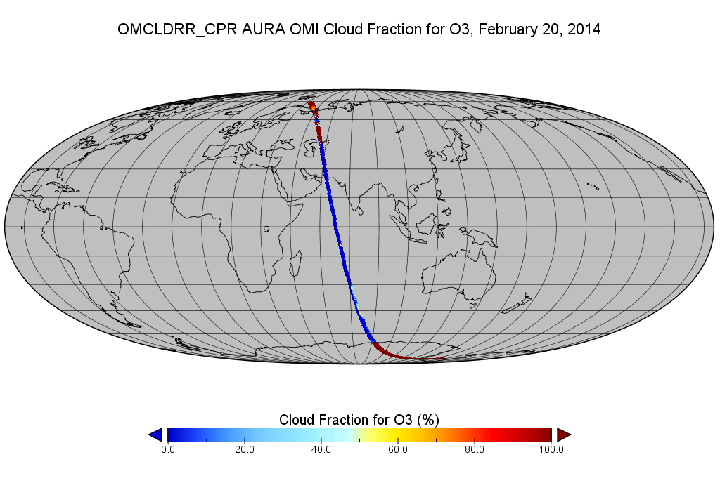
OMI/Aura Cloud Pressure and Fraction (Raman Scattering) 200-km swath subset along CloudSat track V003 (OMCLDRR_CPR) at GES DISC
National Aeronautics and Space Administration —
This is the OMI/Aura Cloud Pressure and Fraction (Raman Scattering) subset along CloudSat tracks, for the purposes of the A-Train mission. The original data product... -
Federal
West Africa Coastal Vulnerability Mapping: Subset of DMSP-OLS Nighttime Lights for Economic Activity, 2010
National Aeronautics and Space Administration —
The West Africa Coastal Vulnerability Mapping: Subset of DMSP-OLS Nighttime Lights for Economic Activity, 2010 data set is based on Version 4 of the Defense... -
Federal
West Africa Coastal Vulnerability Mapping: Subset of OpenStreetMap (OSM) Roads
National Aeronautics and Space Administration —
The West Africa Coastal Vulnerability Mapping: Subset of OpenStreetMap (OSM) Roads data set includes roads within 200 kilometers of the coast and was extracted from... -
Federal
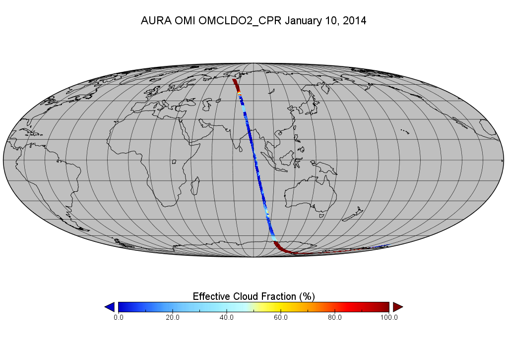
OMI/Aura Cloud Pressure and Fraction (O2-O2 Absorption) 200-km swath subset along CloudSat track V003 (OMCLDO2_CPR) at GES DISC
National Aeronautics and Space Administration —
This the OMI/Aura Cloud Pressure and Fraction (O2-O2 Absorption) subset along CloudSat track, for the purposes of the A-Train mission. The original product uses the... -
Federal
TES/Aura L2 Methane Nadir V007
National Aeronautics and Space Administration —
TL2CH4N_7 is the Tropospheric Emission Spectrometer (TES)/Aura Level 2 Methane Nadir Version 7 data product. TES was an instrument aboard NASA's Aura satellite and...

Official websites use .gov
A
.gov website belongs to an official government
organization in the United States.
Secure .gov websites use HTTPS
A
lock (
) or https:// means you’ve safely connected to
the .gov website. Share sensitive information only on official,
secure websites.