
-
Federal
MODIS/Terra Temperature and Water Vapor Profiles 5-Min L2 Swath 5km NGDA
National Aeronautics and Space Administration —
The MODIS/Terra Temperature and Water Vapor Profiles 5-Min L2 Swath 5km (MOD07_L2) product consists of a numbers of parameters related to atmospheric stability,... -
Federal
ISLSCP II EDGAR 3 Gridded Greenhouse and Ozone Precursor Gas Emissions
National Aeronautics and Space Administration —
The EDGAR (Emission Database for Global Atmospheric Research) database project is a comprehensive task carried out jointly by the National Institute for Public Health... -
Federal
Daymet: Daily Surface Weather Data on a 1-km Grid for North America, Version 4 R1
National Aeronautics and Space Administration —
This dataset provides Daymet Version 4 R1 data as gridded estimates of daily weather parameters for North America, Hawaii, and Puerto Rico. Daymet variables include... -
Federal
Deciduous Fractional Cover and Tree Canopy Cover for Boreal North America, 1992-2015
National Aeronautics and Space Administration —
This dataset holds deciduous fraction and tree canopy cover at 30-m resolution over the North American boreal domain for 1992 to 2015. Deciduous fraction is the areal... -
Federal
CYGNSS Level 1 Science Data Record Version 3.2
National Aeronautics and Space Administration —
This CYGNSS Level 1 (L1) science data record dataset contains the version 3.2 geo-located Delay Doppler Maps (DDMs) calibrated into Power Received (Watts) and... -
Federal
GLDAS Noah Land Surface Model L4 monthly 0.25 x 0.25 degree V2.1 (GLDAS_NOAH025_M) at GES DISC
National Aeronautics and Space Administration —
NASA Global Land Data Assimilation System Version 2 (GLDAS-2) has three components: GLDAS-2.0, GLDAS-2.1, and GLDAS-2.2. GLDAS-2.0 is forced entirely with the... -
Federal
CALIPSO Lidar Level 2 Aerosol Profile, V4-20
National Aeronautics and Space Administration —
CAL_LID_L2_05kmAPro-Standard-V4-20 is the Cloud-Aerosol Lidar and Infrared Pathfinder Satellite Observations (CALIPSO) Lidar Level 2 Aerosol Profile, Version 4-20... -
Federal
SASSIE Arctic Field Campaign Shipboard S-Band Radar Level 3 Data Fall 2022
National Aeronautics and Space Administration —
This dataset contains images from the S-BAND marine navigation radar collected during the 2022 Salinity and Stratification at the Sea Ice Edge (SASSIE) campaign.... -
Federal
VISSR/GOES-1 Infrared Imagery on 70mm Film V001 (VISSRGOES1IMIR) at GES DISC
National Aeronautics and Space Administration —
VISSRGOES1IMIR is the Visible Infrared Spin-Scan Radiometer (VISSR) Infrared Imagery on 70mm Film data product from the first Geostationary Operational Environmental... -
Federal
TES/Aura L2 Ammonia Nadir Special Observation V007
National Aeronautics and Space Administration —
TL2NH3NS_7 is the Tropospheric Emission Spectrometer (TES)/Aura Level 2 Ammonia Nadir Special Observation Version 7 data product. TES was an instrument aboard NASA's... -
Federal
GEWEX SRB Integrated Product (Rel-4) Longwave Monthly Average by UTC Ocean-only Fluxes
National Aeronautics and Space Administration —
GEWEXSRB_Rel4-IP_Longwave_monthly_oceanonly_utc is the Global Energy and Water Exchanges (GEWEX) Surface Radiation Budget (SRB) Integrated Product (Rel-4) Longwave... -
Federal
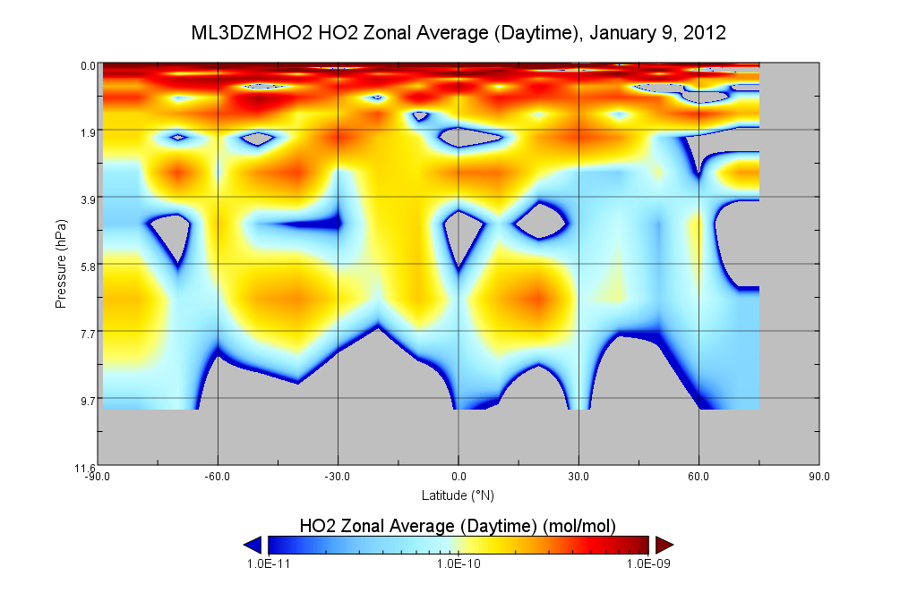
MLS/Aura Level 3 Hydroperoxy (HO2) Daily 10degrees Lat Zonal Mean V004 (ML3DZMHO2) at GES DISC
National Aeronautics and Space Administration —
ML3DZMHO2 is the EOS Aura Microwave Limb Sounder (MLS) daily zonal mean product for hydroperoxy derived from radiances measured in two bands from the 640 GHz... -
Federal
TES/Aura L2 H2O Lite Nadir V006
National Aeronautics and Space Administration —
TL2H2OLN_6 is the Tropospheric Emission Spectrometer (TES)/Aura Level 2 H2O Lite Nadir Version 6 data product. It consists of information for one molecular species... -
Federal
First ISCCP Regional Experiment (FIRE) Cirrus 1 Surface Radiation Budget (SRB) Data over Switzerland
National Aeronautics and Space Administration —
Results from ISCCP analysis of B3 radiance data (sampled to 25 km). Unlike the standard ISCCP product, these data are reported at original pixel resolution and... -
Federal
MERRA-2 instU_3d_asm_Np: 3d,diurnal,Instantaneous,Pressure-Level,Assimilation,Assimilated Meteorological Fields 0.625 x 0.5 degree V5.12.4 (M2IUNPASM) at GES DISC
National Aeronautics and Space Administration —
M2IUNPASM (or instU_3d_asm_Np) is an instantaneous 3-dimensional monthly diurnal means data collection in Modern-Era Retrospective analysis for Research and... -
Federal
First ISCCP Regional Experiment (FIRE) Cirrus Phase I Rawinsonde Data
National Aeronautics and Space Administration —
The First ISCCP Regional Experiments have been designed to improve data products and cloud/radiation parameterizations used in general circulation models (GCMs).... -
Federal
GOES-R PLT Kennedy Space Center Lightning Mapping Array (LMA) V1
National Aeronautics and Space Administration —
The GOES-R PLT Kennedy Space Center Lightning Mapping Array (LMA) dataset consists of total lightning data measured from the Kennedy Space Center LMA (KSCLMA) network... -
Federal
SWOT Level 2 KaRIn Low Rate Sea Surface Height Data Product - Basic, Version 2.0
National Aeronautics and Space Administration —
The SWOT Level 2 KaRIn Low Rate Sea Surface Height Basic Data Product from the Surface Water Ocean Topography (SWOT) mission provides global sea surface height and... -
Federal
GRACE-FO Level-2 Monthly Geopotential Spherical Harmonics GFZ Release 6.1 (RL06.1)
National Aeronautics and Space Administration —
FOR EXPERT USE ONLY. This dataset contains estimates of the total month-by-month geopotential of the Earth, derived from the Gravity Recovery and Climate Experiment... -
Federal
HAQAST Sentinel-5P TROPOMI Nitrogen Dioxide (NO2) CONUS Monthly Level 3 0.01 x 0.01 Degree Gridded Data V2.4 (HAQ_TROPOMI_NO2_CONUS_M_L3) at GES DISC
National Aeronautics and Space Administration —
This product provides level 3 annual averages of tropospheric Nitrogen dioxide (NO2) vertical column density derived from the level 2 Tropospheric Monitoring...

Official websites use .gov
A
.gov website belongs to an official government
organization in the United States.
Secure .gov websites use HTTPS
A
lock (
) or https:// means you’ve safely connected to
the .gov website. Share sensitive information only on official,
secure websites.