

6 datasets found for "Ice"
-
Federal
Maritime Limits and Boundaries of United States of America NGDA
National Oceanic and Atmospheric Administration, Department of Commerce —
NOAA is responsible for depicting on its nautical charts the limits of the 12 nautical mile Territorial Sea, 24 nautical mile Contiguous Zone, and 200 nautical mile... -
Federal
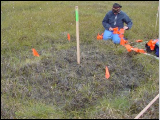
A Global Database of Gas Fluxes from Soils after Rewetting or Thawing, Version 1.0
National Aeronautics and Space Administration —
This database contains information compiled from published studies on gas flux from soil following rewetting or thawing. The resulting database includes 222 field and... -
Federal
Northern and Mid-Latitude Soil Database, Version 1, R1
National Aeronautics and Space Administration —
The U.S. Department of Agriculture, Agriculture and Agri-Food Canada, the Russian Academy of Agricultural Sciences, the University of Copenhagen Institute of... -
Federal
Biologically Important Areas for Cetaceans within U.S. Waters 2015-03-01 - Present
National Oceanic and Atmospheric Administration, Department of Commerce —
The Cetacean Density and Distribution Mapping Working Group identified Biologically Important Areas (BIAs) for 24 cetacean species, stocks, or populations in seven... -
Federal
Arctic Water Vapor Characteristics from Rawinsondes, Version 1
National Aeronautics and Space Administration —
A gridded climatological monthly-mean data base of Arctic water vapor characteristics has been assembled by combining fixed station data with data from soundings...
6 datasets found for "Ice"