

1,670 datasets found for "National Bridge Inventory"
-
Federal
Delaware Water Gap National Recreation Area Small-Scale Base GIS Data
Department of the Interior —
This data set contains small-scale base GIS data layers compiled by the National Park Service Servicewide Inventory and Monitoring Program and Water Resources... -
Federal
Devils Postpile National Monument Small-Scale Base GIS Data
Department of the Interior —
This data set contains small-scale base GIS data layers compiled by the National Park Service Servicewide Inventory and Monitoring Program and Water Resources... -
Federal
Protected Areas Database of the United States (PAD-US) 3.0 Vector Analysis and Summary Statistics
Department of the Interior —
Spatial analysis and statistical summaries of the Protected Areas Database of the United States (PAD-US) provide land managers and decision makers with a general... -
Federal
Vulnerability of shallow ground water and drinking-water wells to nitrate in the United States: Model of predicted nitrate concentration in shallow, recently recharged ground water -- Input data set for wetlands (gwava-s_wetl)
Department of the Interior —
This data set represents the percent of woody wetlands and emergent herbaceous wetlands land cover in the conterminous United States. The data set was used as an... -
Federal
Pacific Island Network Benthic Marine and Marine Fish Monitoring Dataset
Department of the Interior —
This dataset contains data collected during Benthic Marine Community monitoring and Marine Fish monitoring at Kalaupapa National Historical Park, Kaloko-Honokohau... -
Federal
Digital Geologic Map of the Watson 7.5' Quadrangle, Arkansas (NPS, GRD, GRI, ARPO, WATS digital map)
Department of the Interior —
The Digital Geologic Map of the Watson 7.5' Quadrangle, Arkansas is composed of GIS data layers complete with ArcMap 9.3 layer (.LYR) files, two ancillary GIS tables,... -
Federal
Specific Water Quality Sites for Beaver County, Utah
Department of the Interior —
This map shows specific water-quality items and hydrologic data site information which come from QWDATA (Water Quality) and GWSI (Ground Water Information System).... -
University
1935 15' Quad #199 Aerial Photo Mosaic Index
Earth Data Analysis Center, University of New Mexico —
Aerial Photo Reference Mosaics contain aerial photographs that are retrievable on a frame by frame basis. The inventory contains imagery from various sources that are... -
Federal
Digital Geologic Map of the Spotsylvania Quadrangle, Virginia (NPS, GRD, GRE, FRSP)
Department of the Interior —
The Digital Geologic Map of the Spotsylvania Quadrangle, Virginia is comprised of GIS data layers, two ancillary GIS tables, a Windows Help File with ancillary map... -
Federal
National Park Service Thematic Burn Severity Mosaic for CONUS in 2023
Department of the Interior —
The National Park Service (NPS) requests burn severity assessments through an agreement with the U.S. Geological Survey (USGS) to be completed by analysts with the... -
Federal
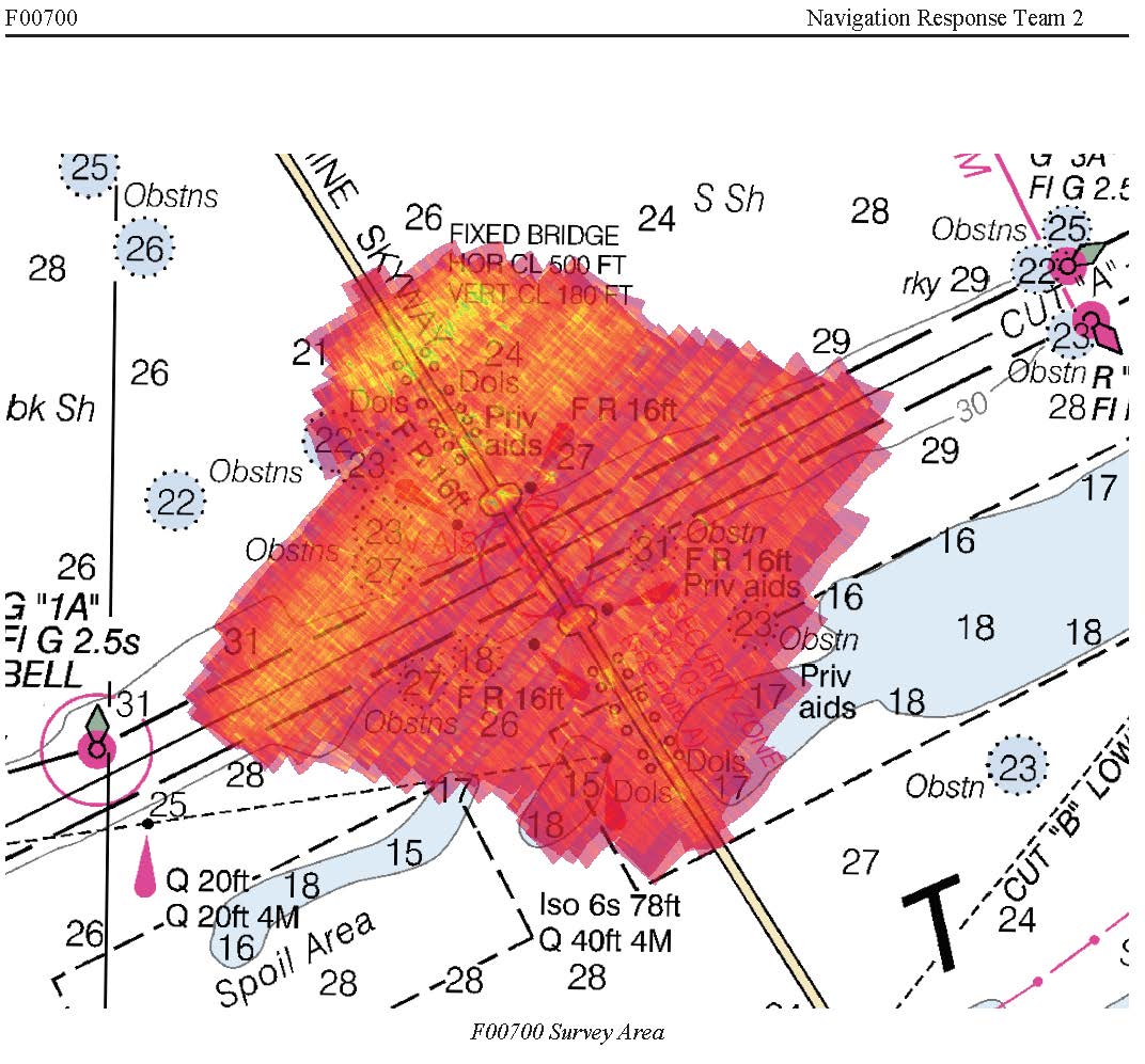
F00700: NOS Hydrographic Survey , 2018-09-19
National Oceanic and Atmospheric Administration, Department of Commerce —
The National Oceanic and Atmospheric Administration (NOAA) has the statutory mandate to collect hydrographic data in support of nautical chart compilation for safe... -
Federal
F00796: NOS Hydrographic Survey , 2019-09-24
National Oceanic and Atmospheric Administration, Department of Commerce —
The National Oceanic and Atmospheric Administration (NOAA) has the statutory mandate to collect hydrographic data in support of nautical chart compilation for safe... -
Federal
Multispectral structure-from-motion digital elevation and reflectance orthomosaic data products from Uncrewed Aircraft System (UAS) surveys of dryland sites 40 km south of Moab, Utah in May 2023
Department of the Interior —
In support of U.S. Geological Survey (USGS) Southwest Biological Science Center researchers, and in coordination with the Bureau of Land Management (BLM) and National... -
City
Prototype Draft - Strategic Measure_Street Conditions_v2.0
City of Austin —
This dataset is collected & compiled by the Street & Bridge Operations division under the Public Works Department. The street network consisted of about 2525... -
Federal
FIA Stump Forest Biomass (Image Service)
Department of Agriculture —
The U.S. has been providing national-scale estimates of forest carbon stocks and stock change to meet United Nations Framework Convention on Climate Change reporting... -
Federal
FIA Sapling Forest Biomass (Image Service)
Department of Agriculture —
The U.S. has been providing national-scale estimates of forest carbon stocks and stock change to meet United Nations Framework Convention on Climate Change reporting... -
Federal
FIA Below Ground Forest Biomass (Image Service)
Department of Agriculture —
The U.S. has been providing national-scale estimates of forest carbon stocks and stock change to meet United Nations Framework Convention on Climate Change reporting... -
Federal
FIA Above Ground Forest Biomass (Image Service)
Department of Agriculture —
The U.S. has been providing national-scale estimates of forest carbon stocks and stock change to meet United Nations Framework Convention on Climate Change reporting... -
Federal
FIA Bole Forest Biomass (Image Service)
Department of Agriculture —
The U.S. has been providing national-scale estimates of forest carbon stocks and stock change to meet United Nations Framework Convention on Climate Change reporting... -
Federal
Data from: Automated Detection of On-Farm Irrigation Reservoirs: A Necessary Precursor for Conjunctive Water Management in Two Critical Groundwater Regions of Arkansas
Department of Agriculture —
The Inventory from Model (White)Model Reservoirs (Red)Mary and Co's reservoirs (Blue)NHD water (Orange)CDL water (Yellow)The Inventory from Model map (1) represents...
1,670 datasets found for "National Bridge Inventory"