
-
Federal
VIIRS/NPP Active Fires 6-Min L2 Swath 375m V002
National Aeronautics and Space Administration —
The Visible Infrared Imaging Radiometer Suite (VIIRS) Active Fires (VNP14IMG) Version 2 product is produced in 6-minute temporal satellite increments (swaths) at 375... -
Federal
ALOS PALSAR High Resolution Radiometric Terrain Corrected Product
National Aeronautics and Space Administration —
ASF's SAR Radiometric Terrain Corrected (RTC) dataset gives terrestrial world-wide coverage; excluding Antarctica, Greenland, Iceland, and Asia north of 60 degrees... -
Federal
MASTER: HyspIRI Airborne Campaign, Hawaii, 2017
National Aeronautics and Space Administration —
This dataset includes Level 1B (L1B) and Level 2 (L2) data products from the MODIS/ASTER Airborne Simulator (MASTER) instrument. The spectral data were collected as... -
Federal
VIIRS/NPP Thermal Anomalies/Fire 6-Min L2 Swath 750m V001
National Aeronautics and Space Administration —
The VNP14 VIIRS Version 1 data product was decommissioned on April 8th, 2025. Users are encouraged to use Version 2 data products, which provide better calibration... -
Federal
ALOS PALSAR Low Resolution Radiometric Terrain Corrected Product
National Aeronautics and Space Administration —
ASF's SAR Radiometric Terrain Corrected (RTC) dataset gives terrestrial world-wide coverage; excluding Antarctica, Greenland, Iceland, and Asia north of 60 degrees... -
Federal
MODIS/Aqua Terra Thermal Anomalies/Fire locations 1km FIRMS NRT (Vector data)
National Aeronautics and Space Administration —
The MODIS/Aqua Terra Thermal Anomalies/Fire locations 1km FIRMS Near Real-Time (NRT) - Collection 61 processed by NASA's Land, Atmosphere Near real-time Capability... -
Federal
MASTER: HyspIRI Airborne Campaign, Hawaii, 2018
National Aeronautics and Space Administration —
This dataset includes Level 1B (L1B) and Level 2 (L2) data products from the MODIS/ASTER Airborne Simulator (MASTER) instrument. The spectral data were collected as... -
Federal
ALOS PALSAR Level 1.0 Product
National Aeronautics and Space Administration —
ALOS PALSAR Level 1.0 -
Federal
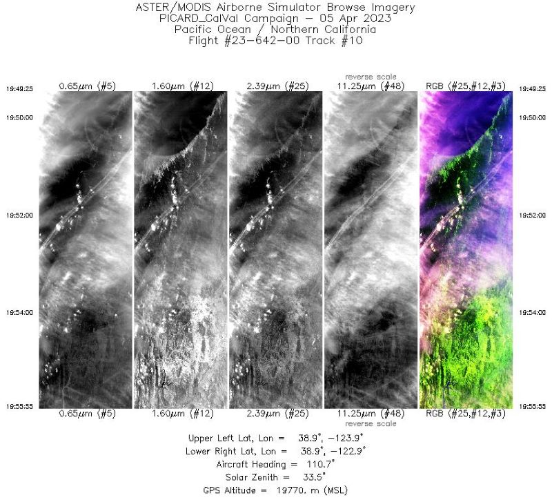
MASTER: Western Diversity Time Series Campaign, WDTS, Spring 2023
National Aeronautics and Space Administration —
This dataset includes Level 1B (L1B) and Level 2 (L2) data products from the MODIS/ASTER Airborne Simulator (MASTER) instrument. The spectral data were collected as... -
Federal
ALOS PALSAR Level 1.1 Product
National Aeronautics and Space Administration —
ALOS PALSAR Level 1.1 -
Federal
MISR Derived Case Study Data for Iceland Volcanic Eruptions (Eyjafjallajokull, Grimsvotn, Holuhraun) Including Geometric Plume Height and Qualitative Radiometric Particle Property Information
National Aeronautics and Space Administration —
This dataset comprises MISR-derived output from a comprehensive analysis of Icelandic volcano eruptions (Eyjafjallajokull 2010, Grimsvotn 2011, Holuhraun 2014-2015).... -
Federal
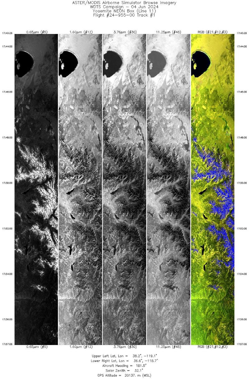
MASTER: Western Diversity Time Series Campaign, WDTS, Spring 2024
National Aeronautics and Space Administration —
This dataset includes Level 1B (L1B) data products from the MODIS/ASTER Airborne Simulator (MASTER) instrument. The spectral data were collected as part of the... -
Federal
MISR Derived Case Study Data for Kilauea Volcanic Eruptions Including Geometric Plume Height and Qualitative Radiometric Particle Property Information
National Aeronautics and Space Administration —
The KILVOLC_FlowerKahn2021_1 dataset is the MISR Derived Case Study Data for Kilauea Volcanic Eruptions Including Geometric Plume Height and Qualitative Radiometric... -
Federal
MODIS/Aqua Thermal Anomalies/Fire 5-Min L2 Swath 1km V061
National Aeronautics and Space Administration —
The Aqua Moderate Resolution Imaging Spectroradiometer (MODIS) Thermal Anomalies and Fire (MYD14) Version 6.1 product is produced daily in 5-minute temporal satellite... -
Federal
TOMS/N7 MS SO2 Vertical Column 1-Orbit L2 Swath 50x50 km V3 (TOMSN7SO2) at GES DISC
National Aeronautics and Space Administration —
Version 3 is the current version of the data set. Older versions will no longer be available and have been superseded by Version 3.The goal of this data set is to... -
Federal
ALOS PALSAR Level 1.5 Product
National Aeronautics and Space Administration —
ALOS PALSAR Level 1.5 -
Federal
RADARSAT-1 Level 1 Product
National Aeronautics and Space Administration —
RADARSAT-1 Level 1 Amplitude Images -
Federal
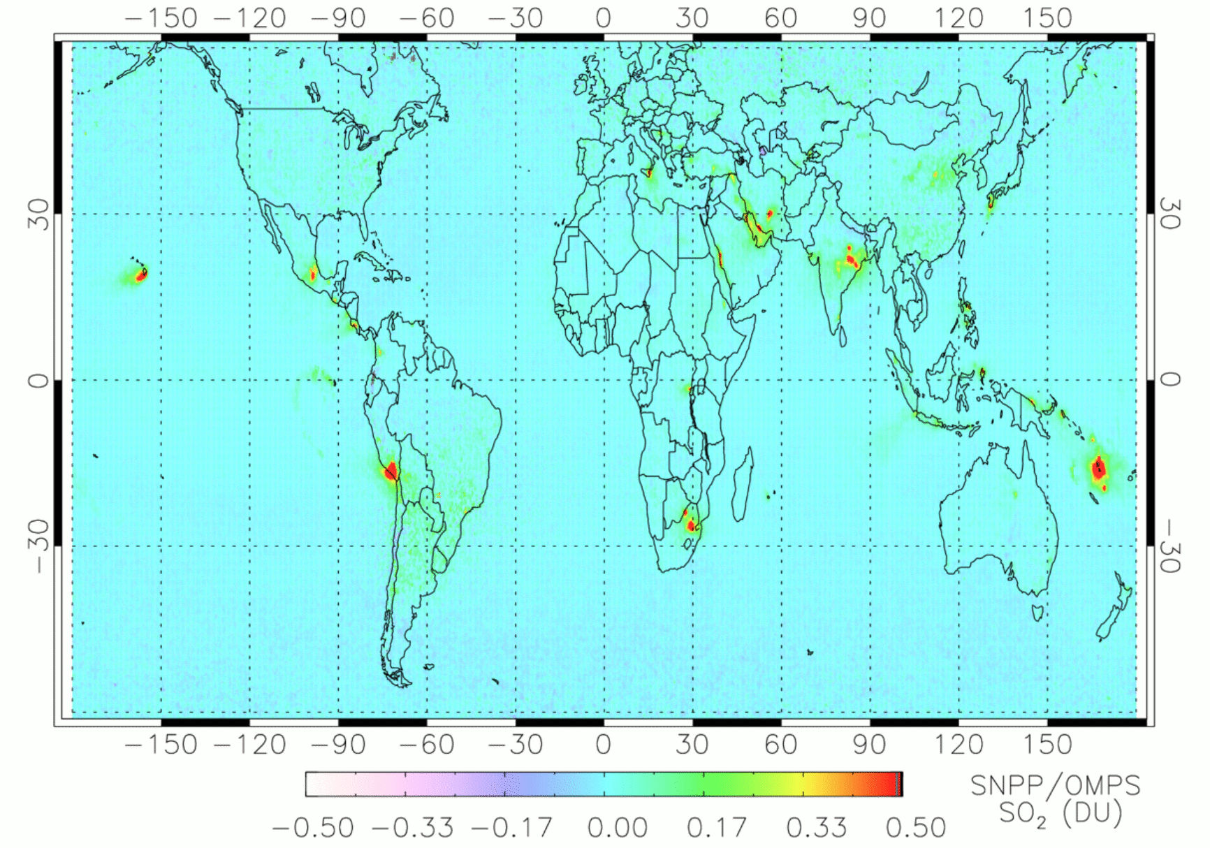
OMPS/NPP PCA SO2 Total Column 1-Orbit L2 Swath 50x50km V2 (OMPS_NPP_NMSO2_PCA_L2) at GES DISC
National Aeronautics and Space Administration —
The OMPS_NPP_NMSO2_PCA_L2 product is part of the MEaSUREs (Making Earth Science Data Records for Use in Research Environments) suite of products.It is retrieved from...

Official websites use .gov
A
.gov website belongs to an official government
organization in the United States.
Secure .gov websites use HTTPS
A
lock (
) or https:// means you’ve safely connected to
the .gov website. Share sensitive information only on official,
secure websites.