
-
Federal
SOLVE I DC-8 Analysis Model Data
National Aeronautics and Space Administration —
SOLVE1_Analysis_DC8_Data contains modeled trajectories and meteorological data along the flight path for the DC-8 aircraft collected during the SAGE III Ozone Loss... -
Federal
GEOS-Carb CASA-GFED Daily Fire and Fuel Emissions 0.5 degree x 0.5 degree V3 (GEOS_CASAGFED_D_FIRE) at GES DISC
National Aeronautics and Space Administration —
This product provides Daily average wildfire emissions (FIRE) andfuel wood burning emissions (FUEL) derived from the Carnegie-Ames-Stanford-Approach – Global Fire... -
Federal
TRACE-A In Situ DC-8 Meteorology and Navigation Data
National Aeronautics and Space Administration —
TRACE-A_MetNav_AircraftInSitu_DC8_Data is the in situ meteorology and navigation data collected onboard the DC-8 aircraft during the Transport and Atmospheric... -
Federal
GHRSST Level 3U Global Subskin Sea Surface Temperature version 8a from the Advanced Microwave Scanning Radiometer 2 on the GCOM-W satellite
National Aeronautics and Space Administration —
GDS2 Version -The Advanced Microwave Scanning Radiometer 2 (AMSR2) was launched on 18 May 2012, onboard the Golbal Change Observation Mission - Water (GCOM-W)... -
Federal
DC3 In-Situ DC-8 Meteorological and Navigational Data
National Aeronautics and Space Administration —
DC3_MetNav_AircraftInSitu_DC8_Data are in-situ meteorological and navigational data collected onboard the DC-8 aircraft during the Deep Convective Clouds and... -
Federal
Global Food Security-support Analysis Data (GFSAD) Cropland Extent-Product 2015 Validation 30 m V001
National Aeronautics and Space Administration —
The NASA Making Earth System Data Records for Use in Research Environments (MEaSUREs)... -
Federal
CAMP2Ex Miscellaneous Data
National Aeronautics and Space Administration —
CAMP2Ex_Miscellaneous_Data are miscellaneous data (satellite, model, analysis, merge data, etc.) collected during the Clouds, Aerosol and Monsoon Processes-... -
Federal
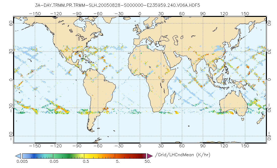
GPM PR on TRMM Spectral Latent Heating Profiles L3 1 Day 0.5x0.5 degree V07 (GPM_3HSLH_TRMM_DAY) at GES DISC
National Aeronautics and Space Administration —
This a new (GPM-formated) TRMM product. There is no equivalent in the old TRMM suite of products.Version 07 is the current version of the data set. Older versions... -
Federal
TRACE-P Ground Data
National Aeronautics and Space Administration —
TRACE-P_Ground_Data is the ground site data collected during the Transport and Chemical Evolution over the Pacific (TRACE-P) suborbital campaign. Data collection for... -
Federal
OPERA Dynamic Surface Water Extent from Harmonized Landsat Sentinel-2 provisional product (Version 1)
National Aeronautics and Space Administration —
This dataset contains Level-3 Dynamic OPERA provisional surface water extent product version 1. The data are provisional surface water extent observations beginning... -
Federal
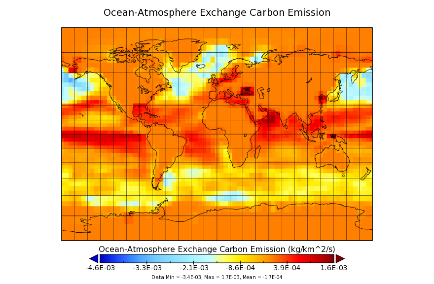
Carbon Monitoring System Flux for Ocean Carbon L4 V1 (CMSFluxOcean) at GES DISC
National Aeronautics and Space Administration —
This dataset provides the Carbon Flux for Ocean Carbon.The NASA Carbon Monitoring System (CMS) is designed to make significant contributions in characterizing,... -
Federal
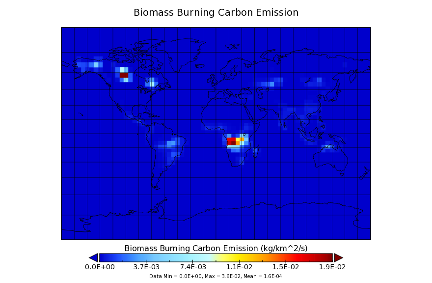
Carbon Monitoring System Carbon Flux for Fire L4 V1 (CMSFluxFire) at GES DISC
National Aeronautics and Space Administration —
This dataset provides the Carbon Flux for Fires.The NASA Carbon Monitoring System (CMS) is designed to make significant contributions in characterizing, quantifying,... -
Federal
CERES and GEO-Enhanced TOA, Within-Atmosphere and Surface Fluxes, Clouds and Aerosols 3-Hourly Terra-Aqua Edition4A NGDA
National Aeronautics and Space Administration —
CER_SYN1deg-3Hour_Terra-Aqua-MODIS_Edition4A is the Clouds and the Earth's Radiant Energy System (CERES) and geostationary (GEO)-Enhanced Top of Atmosphere (TOA),... -
Federal
Simulated Fine Particulate Matter (PM2.5) Estimates over Alaska, 2001-2015
National Aeronautics and Space Administration —
The dataset provides simulated PM2.5 concentration estimates over Alaska, U.S. PM2.5 (particulate matter with diameter <= 2.5 microns) concentrations in air... -
Federal
Global Gridded Soil Phosphorus Distribution Maps at 0.5-degree Resolution
National Aeronautics and Space Administration —
This data set provides estimates of different forms of naturally occurring soil phosphorus (P) including labile inorganic P, organic P, occluded P, secondary mineral... -
Federal
Carbon Monitoring System Lake Superior Primary Production Yearly V1 (CMSLakeSuperiorPPY) at GES DISC
National Aeronautics and Space Administration —
Yearly Average primary production/carbon fixation data for Lake Superior. The primary production data is derived using MODIS imagery with model data.The NASA Carbon... -
Federal
Automated Discovery of Flight Track Anomalies
National Aeronautics and Space Administration —
As new technologies are developed to handle the complexities of the Next Generation Air Transportation System (NextGen), it is increasingly important to address both... -
Federal
FIREX-AQ ER-2 Remotely Sensed National Polar - Orbiting Operational Environmental Satellite System Airborne Sounder Testbed - Interferometer (NAST-I) Data
National Aeronautics and Space Administration —
FIREXAQ_ TraceGasAircraftRemoteSensing_ER2_NASTI_Data are remotely sensed measurements collected by the National Polar-Orbiting Operational Environmental Satellite... -
Federal
GPM PR and TMI on TRMM Combined Convective-Stratiform Latent Heating Profiles L3 1 month 0.25x0.25 degree V07 (GPM_3HCSH_TRMM) at GES DISC
National Aeronautics and Space Administration —
This is the new (GPM-formated) TRMM product. It replaces the old TRMM legacy TRMM_3H31Version 07 is the current version of the data set. Older versions will no longer... -
Federal
SOLVE I Miscellaneous ER-2 Aircraft Data
National Aeronautics and Space Administration —
SOLVE1_Miscellaneous_ER2_Data is the supplementary miscellaneous data for the ER-2 aircraft collected during the SAGE III Ozone Loss and Validation Experiment...

Official websites use .gov
A
.gov website belongs to an official government
organization in the United States.
Secure .gov websites use HTTPS
A
lock (
) or https:// means you’ve safely connected to
the .gov website. Share sensitive information only on official,
secure websites.