
-
Federal
Sentinel-5P TROPOMI Tropospheric NO2 1-Orbit L2 7km x 3.5km V1 (S5P_L2__NO2___) at GES DISC
National Aeronautics and Space Administration —
Starting from August 6th in 2019, Sentinel-5P TROPOMI along-track high spatial resolution (~5.5km at nadir) has been implemented. For data after August 6th of 2019,... -
Federal
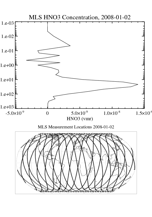
MLS/Aura Level 2 Sulfur Dioxide (SO2) Mixing Ratio V005 (ML2SO2) at GES DISC
National Aeronautics and Space Administration —
ML2SO2 is the EOS Aura Microwave Limb Sounder (MLS) standard product for sulfur dioxide derived from radiances measured by the 240 GHz radiometer. The data version is... -
Federal
Sentinel-5P TROPOMI Methane CH4 1-Orbit L2 7km x 7km V1 (S5P_L2__CH4___) at GES DISC
National Aeronautics and Space Administration —
Starting from August 6th in 2019, Sentinel-5P TROPOMI along-track high spatial resolution (~5.5km at nadir) has been implemented. For data after August 6th of 2019,... -
Federal
Sentinel-5P TROPOMI Tropospheric Formaldehyde HCHO 1-Orbit L2 7km x 3.5km V1 (S5P_L2__HCHO__) at GES DISC
National Aeronautics and Space Administration —
Starting from August 6th in 2019, Sentinel-5P TROPOMI along-track high spatial resolution (~5.5km at nadir) has been implemented. Starting from July 13th in 2020,... -
Federal
GPM DPR Ku-band Received Power L1B 1.5 hours 5 km V07 (GPM_PRL1KU) at GES DISC
National Aeronautics and Space Administration —
Version 07 is the current version of the data set. Older versions are no longer available and have been superseded by Version 07. This product contains the calibrated... -
Federal
MODIS/Aqua Temp and Water Vapor Profiles 5km 5-Min L2 Narrow Swath Subset along CloudSat V002 (MAC07S0) at GES DISC NGDA
National Aeronautics and Space Administration —
This is the narrow-swath MODIS/Aqua subset along CloudSat field of view track. The goal of the narrow-swath subset is to select and return MODIS data that are within... -
Federal
Sounder SIPS: Suomi NPP CrIMSS Level 3 Specific Quality Control Gridded Daily CHART Normal Spectral Resolution V1
National Aeronautics and Space Administration —
The objective of this limited edition data collection is to examine products generated by the Climate Heritage AIRS Retrieval Technique (CHART) algorithm to analyze... -
Federal
Sounder SIPS: JPSS-1 CrIS Level 3 Specific Quality Control Gridded Daily CLIMCAPS V2 (SNDRJ1IML3SDCCP) at GES DISC
National Aeronautics and Space Administration —
WARNING: To users of the derived product “co_mmr_midtrop” (carbon monoxide mass mixing ratio to dry air [kg/kg] at ~500 hPa). This variable has a significant bias due... -
Federal
NASA-SSH ENSO Sea Surface Height Indicator
National Aeronautics and Space Administration —
This file contains an indicator for the El Nino-Southern Oscillation (ENSO), based on satellite observations of sea surface height anomaly, measured by radar... -
Federal
JPSS-2 CrIS Level 1B Beta Full Spectral Resolution V3 (SNDRJ2CrISL1B) at GES DISC
National Aeronautics and Space Administration —
The goal of creating this product is to allow users to begin working with data from the CrIS instrument on-board the recently launched NOAA-21 / JPSS-2 (J2)... -
Federal
Sounder SIPS: Suomi NPP CrIMSS Level 2 CLIMCAPS Full Spectral Resolution: Cloud Cleared Radiances V2 at GES DISC
National Aeronautics and Space Administration —
The CLIMCAPS (Community Long-term Infrared Microwave Coupled Product System) algorithm is used to analyze data from the Cross-track Infrared Sounder/Advanced... -
Federal
OMI/Aura Nitrogen Dioxide (NO2) Total and Tropospheric Column 1-orbit L2 Swath 13x24 km V004 (OMNO2) at GES DISC
National Aeronautics and Space Administration —
The Collection 4, Version 5.0, Aura Ozone Monitoring Instrument (OMI) Nitrogen Dioxide (NO2) Standard Product (OMNO2) is now available from the NASA Goddard Earth... -
Federal
Global Fire Atlas with Characteristics of Individual Fires, 2003-2016
National Aeronautics and Space Administration —
The Global Fire Atlas is a global dataset that tracks the day-to-day dynamics of individual fires to determine the timing and location of ignitions, fire size,... -
Federal
BOREAS RSS-12 Airborne Tracking Sunphotometer Measurements (C-130)
National Aeronautics and Space Administration —
The BOREAS RSS-12 team collected both ground and airborne sunphotometer measurements for use in characterizing the aerosol optical properties of the atmosphere during... -
Federal
OPERA Land Surface Disturbance Annual from Harmonized Landsat Sentinel-2 product (Version 1)
National Aeronautics and Space Administration —
The Observational Products for End-Users from Remote Sensing Analysis (OPERA) Land Surface Disturbance Annual from Harmonized Landsat Sentinel-2 (HLS) product Version... -
Federal
Sounder SIPS: Suomi NPP CrIMSS Level 3 Comprehensive Quality Control Gridded Daily CHART Normal Spectral Resolution V1
National Aeronautics and Space Administration —
The objective of this limited edition data collection is to examine products generated by the Climate Heritage AIRS Retrieval Technique (CHART) algorithm to analyze... -
Federal
THIR/Nimbus-7 Level 1 Calibrated Located Radiation Data at 6.7 and 11.5 microns V001 (THIRN7L1CLDT) at GES DISC
National Aeronautics and Space Administration —
THIRN7L1CLDT is the Nimbus-7 Temperature-Humidity Infrared Radiometer (THIR) Level 1 Calibrated Located Radiation Data (CLDT) at 6.7 and 11.5 microns product and... -
Federal
NASA Earth Observations (NEO)
National Aeronautics and Space Administration —
Our mission is to help you picture climate change and environmental changes happening on our home planet. Here you can search for and retrieve satellite images of... -
Federal
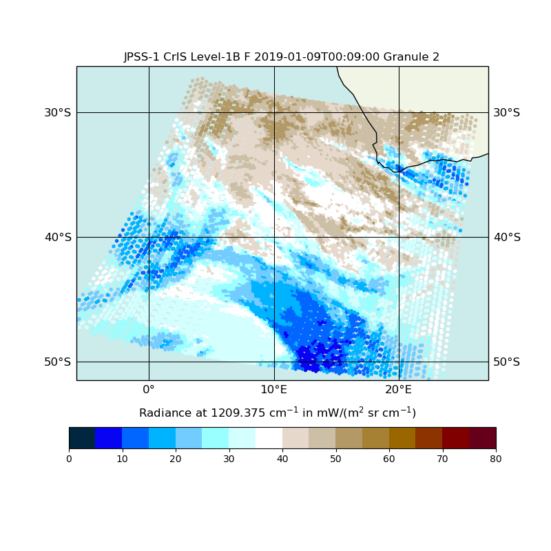
JPSS-1 CrIS Level 1B Full Spectral Resolution V2 (SNDRJ1CrISL1B) at GES DISC
National Aeronautics and Space Administration —
The Cross-track Infrared Sounder (CrIS) Level 1B Full Spectral Resolution (FSR) data files contain radiance measurements along with ancillary spacecraft, instrument,...

Official websites use .gov
A
.gov website belongs to an official government
organization in the United States.
Secure .gov websites use HTTPS
A
lock (
) or https:// means you’ve safely connected to
the .gov website. Share sensitive information only on official,
secure websites.