
-
Federal
Daily FluxSat GPP of biomass over Land, Based on MODIS Terra and Aqua adjusted reflectance Collection 6.1, on a Global 0.5 by 0.625 Degree Grid, Level 3 Version 2.2
National Aeronautics and Space Administration —
This dataset provides global gridded daily estimates of gross primary production (GPP) and uncertainties at 0.5 deg latitude by 0.625 deg longitude resolution for the... -
Federal
AERONET-OCEAN COLOR
National Aeronautics and Space Administration —
The Aerosol Robotic Network (AERONET), developed to sustain atmospheric studies at various scales with measurements from worldwide distributed autonomous sun-... -
Federal
NACP Site: Terrestrial Biosphere Model and Aggregated Flux Data in Standard Format
National Aeronautics and Space Administration —
This data set provides standardized output variables for gross primary productivity (GPP), net ecosystem exchange (NEE), leaf area index (LAI), ecosystem respiration... -
Federal
BOREAS TF-11 CO2 and CH4 Flux Data from the SSA-Fen
National Aeronautics and Space Administration —
The BOREAS TF-11 team collected several data sets in their efforts to fully describe the flux and site characteristics at the SSA-Fen site. This data set contains... -
Federal
BOREAS TGB-01 CH4 Concentration and Flux Data from NSA Tower Sites
National Aeronautics and Space Administration —
The BOREAS TGB-01 team made numerous measurements of trace gas concentrations and fluxes at various NSA sites. This data set contains half-hourly averages of ambient... -
Federal
Global Forest Ecosystem Structure and Function Data For Carbon Balance Research
National Aeronautics and Space Administration —
A comprehensive global database has been assembled to quantify CO2 fluxes and pathways across different levels of integration (from photosynthesis up to net ecosystem... -
Federal
BOREAS TF-10 NSA-YJP Tower Flux, Meteorological, and Porometry Data
National Aeronautics and Space Administration —
The BOREAS TF-10 team collected tower flux and meteorological data at two sites, a fen and a young jack pine forest, near Thompson, Manitoba, Canada, as part of... -
Federal
ECOSTRESS Evapotranspiration dis-ALEXI Daily L3 CONUS 70 m V001
National Aeronautics and Space Administration —
The ECOsystem Spaceborne Thermal Radiometer Experiment on Space Station (ECOSTRESS) mission measures the temperature of plants to better understand how much water... -
Federal
Aviation Safety Reporting System: Non-Tower Airport Incidents
National Aeronautics and Space Administration —
A sampling of reports involving operations at non-tower airports. -
Federal
UAVSAR_POLSAR_METADATA
National Aeronautics and Space Administration —
UAVSAR PolSAR Scene Metadata -
Federal
S-MODE Pre-Pilot Ocean Wave Slope from Visible-Band Polarimetry at the Air-Sea Interaction Tower Version 1
National Aeronautics and Space Administration —
These wave slope data from polarimetry described below are considered preliminary and should not be used for any purpose without consulting Chris Zappa... -
Federal
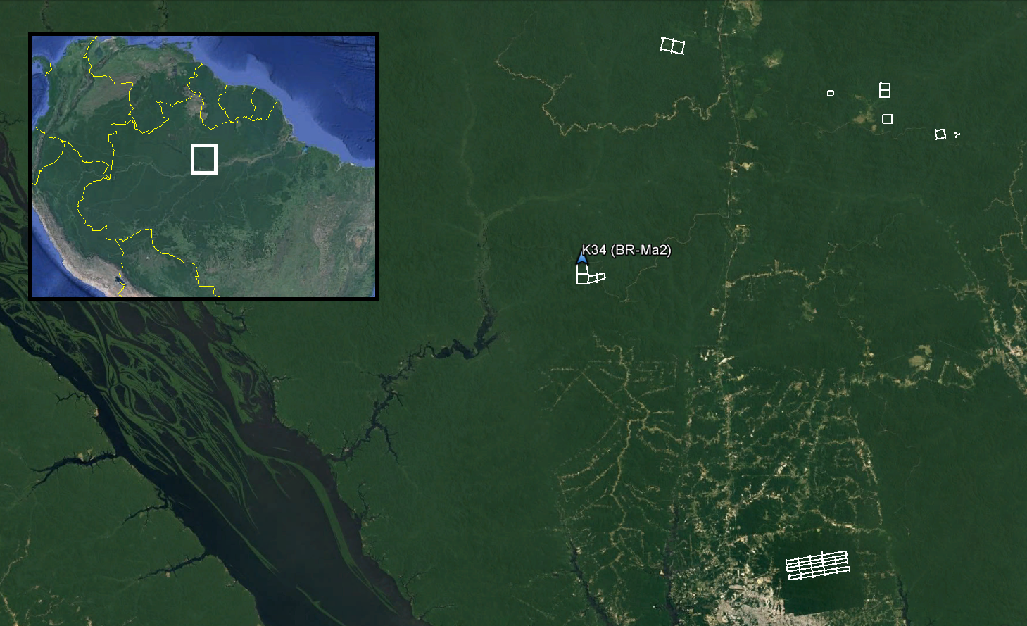
LiDAR and DTM Data from Forested Land Near Manaus, Amazonas, Brazil, 2008
National Aeronautics and Space Administration —
This data set provides LiDAR point clouds and digital terrain models (DTM) from surveys over the K34 tower site in the Cuieiras Biological Reserve, over forest... -
Federal
LBA-ECO CD-10 H2O Profiles at km 67 Tower Site, Tapajos National Forest
National Aeronautics and Space Administration —
This data set reports vertical profiles of H2O vapor concentrations measured at the Para Western (Santarem) - km 67, Primary Forest Tower Site (Figure 1). This site... -
Federal
LBA-ECO CD-03 Cloud Base-Backscatter Data, km 67 Tower Site, Tapajos National Forest
National Aeronautics and Space Administration —
A Vaisala CT-25K ceilometer was installed at an old-growth forest site located at the km 67 Eddy Flux Tower site in the Tapajos National Forest, Para, Brazil, off... -
Federal
AIRSAR_TOPSAR_P-BAND_STOKES
National Aeronautics and Space Administration —
AIRSAR topographic SAR digital elevation model P_Stokes product -
Federal
AIRSAR_POLSAR_3_FREQ_POLARIMETRY
National Aeronautics and Space Administration —
AIRSAR three-frequency polarimetric frame product -
Federal
SAFARI 2000 Woody Vegetation Characteristics of Kalahari and Skukuza Sites
National Aeronautics and Space Administration —
This data set contains species composition, basal area, height, and crown cover of all woody plants at six sites along the Kalahari Transect visited in February-March... -
Federal
AERONET-OCEAN COLOR
National Aeronautics and Space Administration —
The Aerosol Robotic Network (AERONET), developed to sustain atmospheric studies at various scales with measurements from worldwide distributed autonomous sun-... -
Federal
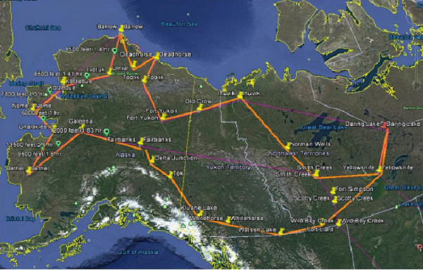
ABoVE: Atmospheric Gas Concentrations from Airborne Flasks, Arctic-CAP, 2017
National Aeronautics and Space Administration —
This dataset provides atmospheric carbon dioxide (CO2), methane (CH4), carbon monoxide (CO), molecular hydrogen (H2), nitrous oxide (N2O), sulfur hexafluoride (SF6),...

Official websites use .gov
A
.gov website belongs to an official government
organization in the United States.
Secure .gov websites use HTTPS
A
lock (
) or https:// means you’ve safely connected to
the .gov website. Share sensitive information only on official,
secure websites.