
-
Federal
A Global Database of Gas Fluxes from Soils after Rewetting or Thawing, Version 1.0
National Aeronautics and Space Administration —
This database contains information compiled from published studies on gas flux from soil following rewetting or thawing. The resulting database includes 222 field and... -
Federal
Lightning Imaging Sensor (LIS) on TRMM Science Data V4
National Aeronautics and Space Administration —
The Lightning Imaging Sensor (LIS) Science Data was collected by the LIS instrument on the Tropical Rainfall Measuring Mission (TRMM) satellite used to detect the... -
Federal
CERES-MODIS-VIIRS and hourly geostationary cloud properties stratified by ISCCP cloud types for day and night.
National Aeronautics and Space Administration —
CER_CldTypHist_GEO-MODIS-VIIRS_Edition4A is the Clouds and the Earth's Radiant Energy System (CERES)- Moderate-Resolution Imaging Spectroradiometer (MODIS) and... -
Federal
CERES Energy Balanced and Filled (EBAF) TOA and Surface Monthly means data in netCDF Edition 4.1
National Aeronautics and Space Administration —
CERES_EBAF_Edition4.1 is the Clouds and the Earth's Radiant Energy System (CERES) Energy Balanced and Filled (EBAF) Top-of-Atmosphere (TOA) and surface monthly means... -
Federal
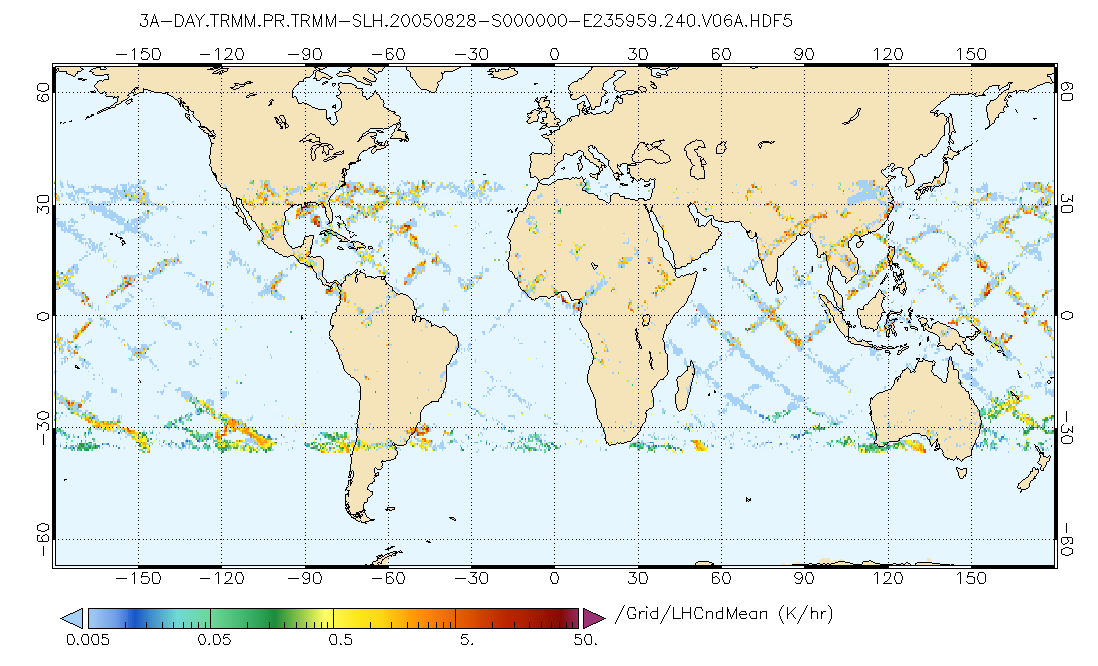
GPM PR on TRMM Spectral Latent Heating Profiles L3 1 Day 0.5x0.5 degree V07 (GPM_3HSLH_TRMM_DAY) at GES DISC
National Aeronautics and Space Administration —
This a new (GPM-formated) TRMM product. There is no equivalent in the old TRMM suite of products.Version 07 is the current version of the data set. Older versions... -
Federal
CERES ERBE-like Gridded Instantaneous TOA Fluxes (ES9) NPP CERES FM-5 Edition2
National Aeronautics and Space Administration —
The ERBE-like Monthly Regional Averages (ES-9) product contains a month of space and time-averaged Clouds and the Earth's Radiant Energy System (CERES) data for a... -
Federal
TRMM TROPICAL CYCLONE PRECIPITATION FEATURE (TCPF) DATABASE - LEVEL 1 V1
National Aeronautics and Space Administration —
The TRMM Cyclone Precipitation Feature (TCPF) Database - Level 1 provides Tropical Rainfall Measuring Mission (TRMM)-based tropical cyclone data in a common framework... -
Federal
Global Landslide Nowcast from LHASA L4 1 day 1 km x 1 km version 1.1 (Global_Landslide_Nowcast) at GES DISC
National Aeronautics and Space Administration —
The Landslide Hazard Assessment for Situational Awareness (LHASA) model identifies locations with high potential for landslide occurrence at a daily temporal... -
Federal
SatCORPS CERES GEO Edition 4 Meteosat-10 Northern Hemisphere Version 1.2
National Aeronautics and Space Administration —
CER_GEO_Ed4_MET10_NH_V01.2 is the Satellite Cloud and Radiation Property retrieval System (SatCORPS) Clouds and the Earth's Radiant Energy System (CERES)... -
Federal
CERES and GEO-Enhanced TOA, Within-Atmosphere and Surface Fluxes, Clouds and Aerosols Monthly-Averaged 1-Hourly Terra-Aqua-NOAA20 Edition4B
National Aeronautics and Space Administration —
CER_SYN1deg-MHour_Terra-Aqua-NOAA20_Edition4B is the Clouds and the Earth's Radiant Energy System (CERES) and geostationary (GEO)-Enhanced Top-of-Atmosphere (TOA),... -
Federal
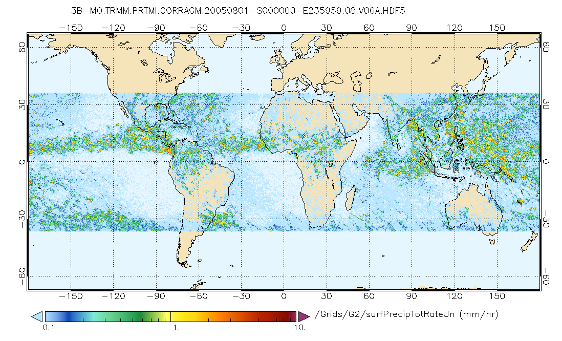
GPM PR and TMI on TRMM (Combined Precipitation) L3 1 month 0.25x0.25 degree V07 (GPM_3CMB_TRMM) at GES DISC
National Aeronautics and Space Administration —
This is the new (GPM-formated) TRMM Combined product, using the GPM algorithms, for the TRMM epoch (December 1997 - April 2015). It replaces the old TRMM_3B31This is... -
Federal
SAFARI 2000 Daily Rainfall Estimates, 0.1-Deg, Southern Africa, 1993-2001
National Aeronautics and Space Administration —
The Microwave InfraRed Algorithm (MIRA) is used to produce an imagery data set of daily mean rain rates at 0.1 degree spatial resolution over southern Africa for the... -
Federal
CERES Single Scanner Footprint (SSF) TOA/Surface Fluxes, Clouds and Aerosols TRMM-PFM Edition2B
National Aeronautics and Space Administration —
CER_SSF_TRMM-PFM-VIRS_Edition2B is the Clouds and the Earth's Radiant Energy System (CERES) Scanner Footprint (SSF) Top-of-Atmosphere (TOA)/Surface Fluxes, Clouds,... -
Federal
CERES and GEO-Enhanced TOA, Within-Atmosphere and Surface Fluxes, Clouds and Aerosols Daily Terra-NPP Edition1A
National Aeronautics and Space Administration —
CER_SYN1deg-Day_Terra-NPP_Edition1A is the Clouds and the Earth's Radiant Energy System (CERES) and geostationary (GEO)-Enhanced Top-of-Atmosphere (TOA) and Surface... -
Federal
CERES and GEO-Enhanced TOA, Within-Atmosphere and Surface Fluxes, Clouds and Aerosols Monthly Terra-NPP Edition1A
National Aeronautics and Space Administration —
CER_SYN1deg-Month_Terra-NPP_Edition1A is the Clouds and the Earth's Radiant Energy System (CERES) and geostationary (GEO)-Enhanced Top-of-Atmosphere (TOA) Within-... -
Federal
CERES Monthly Gridded Single Satellite Fluxes and Clouds TRMM Edition2C
National Aeronautics and Space Administration —
CER_FSW_TRMM-PFM-VIRS_Edition2C is the Clouds and the Earth's Radiant Energy System (CERES) Fixed Swath Width (FSW) Monthly Gridded Single Satellite Fluxes (SSF) and... -
Federal
LIS/OTD 2.5 Degree Low Resolution Full Climatology (LRFC) V2.3.2015
National Aeronautics and Space Administration —
The LIS/OTD 2.5 Degree Low Resolution Full Climatology (LRFC) contains a variety of gridded climatologies of total lightning flash rates obtained from two lightning... -
Federal
LBA-ECO LC-14 Specific Leaf Area and Phenology, km 67 Site, Para, Brazil: 2001-2006
National Aeronautics and Space Administration —
This data set provides measurements of specific leaf area and monthly phenological observations for selected tree and vine species at the km 67 Seca Floresta site,... -
Federal
LBA-ECO CD-03 Flux-Meteorological Data, km 77 Pasture Site, Para, Brazil: 2000-2005
National Aeronautics and Space Administration —
Eddy correlation and micrometeorological measurements began in 2001 and continued through 2005 at the pasture site at km 77 on BR-163 just south of the city of...

Official websites use .gov
A
.gov website belongs to an official government
organization in the United States.
Secure .gov websites use HTTPS
A
lock (
) or https:// means you’ve safely connected to
the .gov website. Share sensitive information only on official,
secure websites.