
-
Federal
Global Hydrologic Soil Groups (HYSOGs250m) for Curve Number-Based Runoff Modeling
National Aeronautics and Space Administration —
This dataset - HYSOGs250m - represents a globally consistent, gridded dataset of hydrologic soil groups (HSGs) with a geographical resolution of 1/480 decimal... -
Federal
Global Organic Soil Carbon and Nitrogen (Zinke et al.)
National Aeronautics and Space Administration —
This package contains worldwide soil carbon and nitrogen data for more than 3,500 soil profiles. The database was begun about 40 years ago with the collection and... -
Federal
NACP Regional: National Greenhouse Gas Inventories and Aggregated Gridded Model Data
National Aeronautics and Space Administration —
This data set provides two products that were derived from the recently published North American Carbon Program (NACP) Regional Synthesis 1-degree terrestrial... -
Federal
CMS: LiDAR Data for Mangrove Forests in the Zambezi River Delta, Mozambique, 2014
National Aeronautics and Space Administration —
This data set provides high-resolution LiDAR point cloud data collected during surveys over mangrove forests in the Zambezi River Delta in Mozambique in May 2014. The... -
Federal
LUH1: Harmonized Global Land Use for Years 1500-2100, V1
National Aeronautics and Space Administration —
These data represent fractional land use and land cover patterns annually for the years 1500 - 2100 for the globe at 0.5-degree (~50-km) spatial resolution. Land use... -
Federal
Land Cover and Land Use Classification for the State of New Hampshire, 1996-2001
National Aeronautics and Space Administration —
The New Hampshire Geographically Referenced Analysis and Information Transfer System (GRANIT) land cover data set provides a land cover and land use product at 30-m... -
Federal
CERES Single Scanner Footprint (SSF) TOA/Surface Fluxes, Clouds and Aerosols Terra-FM1 Edition4A
National Aeronautics and Space Administration —
CER_SSF_Terra-FM1-MODIS_Edition4A is the Clouds and the Earth's Radiant Energy System (CERES) Single Scanner Footprint (SSF) Top-of-the-Atmosphere (TOA)/Surface... -
Federal
CERES and GEO-Enhanced TOA, Within-Atmosphere and Surface Fluxes, Clouds and Aerosols 3-Hourly Terra-Aqua Edition4A NGDA
National Aeronautics and Space Administration —
CER_SYN1deg-3Hour_Terra-Aqua-MODIS_Edition4A is the Clouds and the Earth's Radiant Energy System (CERES) and geostationary (GEO)-Enhanced Top of Atmosphere (TOA),... -
Federal
Decadal Land Use and Land Cover Classifications across India, 1985, 1995, 2005
National Aeronautics and Space Administration —
This data set provides land use and land cover (LULC) classification products at 100-m resolution for India at decadal intervals for 1985, 1995 and 2005. The data... -
Federal
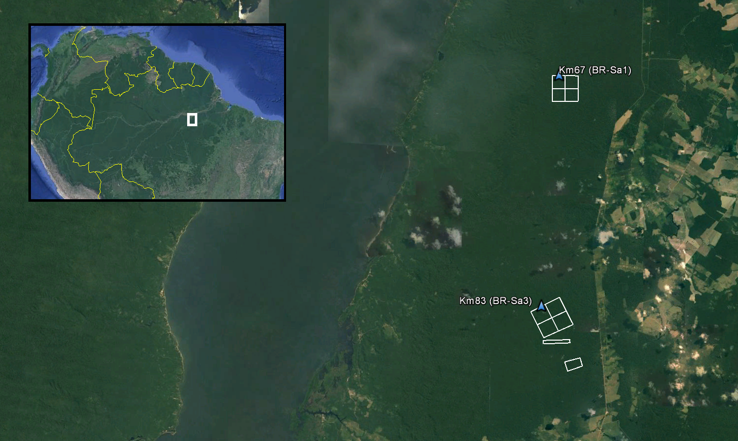
LBA-ECO CD-03 Flux-Meteorological Data, km 77 Pasture Site, Para, Brazil: 2000-2005
National Aeronautics and Space Administration —
Eddy correlation and micrometeorological measurements began in 2001 and continued through 2005 at the pasture site at km 77 on BR-163 just south of the city of... -
Federal
Global Forest Ecosystem Structure and Function Data For Carbon Balance Research
National Aeronautics and Space Administration —
A comprehensive global database has been assembled to quantify CO2 fluxes and pathways across different levels of integration (from photosynthesis up to net ecosystem... -
Federal
LBA Regional Organic Soil Carbon and Nitrogen Data (Zinke et al.)
National Aeronautics and Space Administration —
The data set contains a subset of a global organic soil carbon and nitrogen data set (Zinke et al. 1986). The subset was created for the study area of the Large Scale... -
Federal
LBA-ECO LC-07 Wetland Extent, Vegetation, and Inundation: Lowland Amazon Basin
National Aeronautics and Space Administration —
This data set provides a map of wetland extent, vegetation type, and dual-season flooding state of the entire lowland Amazon basin. As described in Hess et al.... -
Federal
LiDAR and DTM Data from Tapajos National Forest in Para, Brazil, 2008
National Aeronautics and Space Administration —
This data set provides LiDAR point clouds and digital terrain models (DTM) from surveys over the Tapajos National Forest in Belterra municipality, Para, Brazil during... -
Federal
LBA-ECO CD-17 Secondary Forest Survey, Para and Rondonia, Brazil: 2002-2003
National Aeronautics and Space Administration —
This data set provides measurements for diameter at breast height (DBH), tree height, distance from tree stems to the furthest canopy element, and a species survey of... -
Federal
LBA Regional Derived Soil Properties, 0.5-Deg (ISRIC-WISE)
National Aeronautics and Space Administration —
The data set consists of a subset of the ISRIC-WISE global data set of derived soil properties for the study area of the Large Scale Biosphere-Atmosphere Experiment... -
Federal
LBA Regional Freshwater Wetlands, 1-Degree (Stillwell-Soller et al.)
National Aeronautics and Space Administration —
This data set consists of a subset of a 1-degree gridded global freshwater wetlands database (Stillwell-Soller et al. 1995). This subset was created for the study... -
Federal
LBA Regional Vegetation and Soils, 1-Degree (Wilson and Henderson-Sellers)
National Aeronautics and Space Administration —
This data set is a subset of a global vegetation and soils data set by Wilson and Henderson-Sellers (1985a). The subset was created for the study area of the Large... -
Federal
Canopy Height and Biomass from LiDAR Surveys at La Selva, Costa Rica, 1998 and 2005
National Aeronautics and Space Administration —
This data set contains land-use, canopy height, and aboveground carbon estimates derived from LiDAR data collected at La Selva Biological Station in Costa Rica in... -
Federal
A Compilation of Global Soil Microbial Biomass Carbon, Nitrogen, and Phosphorus Data
National Aeronautics and Space Administration —
This data set provides the concentrations of soil microbial biomass carbon (C), nitrogen (N) and phosphorus (P), soil organic carbon, total nitrogen, and total...

Official websites use .gov
A
.gov website belongs to an official government
organization in the United States.
Secure .gov websites use HTTPS
A
lock (
) or https:// means you’ve safely connected to
the .gov website. Share sensitive information only on official,
secure websites.