
-
Federal
2014 Environmental Performance Index (EPI)
National Aeronautics and Space Administration —
The 2014 Environmental Performance Index (EPI) ranks 178 countries on 20 performance indicators in the following 9 policy categories: health impacts, air quality,... -
Federal
2018 Environmental Performance Index (EPI)
National Aeronautics and Space Administration —
The 2018 Environmental Performance Index (EPI) ranks 180 countries on 24 performance indicators in the following 10 issue categories: air quality, water and... -
Federal
2010 Environmental Performance Index (EPI)
National Aeronautics and Space Administration —
The 2010 Environmental Performance Index (EPI) ranks 163 countries on environmental performance based on twenty-five indicators grouped within ten core policy... -
Federal
Global Man-made Impervious Surface (GMIS) Dataset From Landsat
National Aeronautics and Space Administration —
The Global Man-made Impervious Surface (GMIS) Dataset From Landsat consists of global estimates of fractional impervious cover derived from the Global Land Survey... -
Federal
2008 Environmental Performance Index (EPI)
National Aeronautics and Space Administration —
The 2008 Environmental Performance Index (EPI) centers on two broad environmental protection objectives: (1) reducing environmental stresses on human health, and (2)... -
Federal
OMG Narwhals oceanographic data from moorings, 2018-2020
National Aeronautics and Space Administration —
This OMG Narwhals L3 dataset contains daily-averaged temperature and salinity measurements from CTD and temperature loggers from the same mooring. NASA’s Oceans... -
Federal
Gridded GEDI Vegetation Structure Metrics and Biomass Density at Multiple Resolutions
National Aeronautics and Space Administration —
This dataset consists of near-global, analysis-ready, multi-resolution gridded vegetation structure metrics derived from NASA Global Ecosystem Dynamics Investigation... -
Federal
Global Human Built-up And Settlement Extent (HBASE) Dataset From Landsat
National Aeronautics and Space Administration —
The Global Human Built-up And Settlement Extent (HBASE) Dataset from Landsat is a global map of HBASE derived from the Global Land Survey (GLS) Landsat dataset for... -
Federal
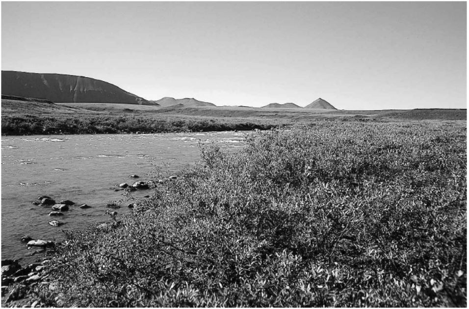
Arctic Vegetation Plots in Willow Communities, North Slope, Alaska, 1997
National Aeronautics and Space Administration —
This data set provides environmental, soil, and vegetation data collected in July and August 1997 from 85 study plots in willow shrub communities located along a... -
Federal
Pilot 2006 Environmental Performance Index (EPI)
National Aeronautics and Space Administration —
The Pilot 2006 Environmental Performance Index (EPI) centers on two broad environmental protection objectives: (1) reducing environmental stresses on human health,... -
Federal
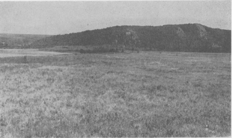
Arctic Vegetation Plots at Nome, Alaska, 1951
National Aeronautics and Space Administration —
This data set provides environmental, soil, and vegetation data collected in July and August 1951 from 80 study plots in the Nome River Valley about 10 miles... -
Federal
OMG Narwhals Shipboard Conductivity, Temperature, and Depth (CTD) profiles, 2018-2020
National Aeronautics and Space Administration —
This OMG Narwhals dataset contains measurements from the ship based full water column CTD profiles that were obtained during summer mooring deployment/recovery... -
Federal
West Africa Coastal Vulnerability Mapping: Deforestation, 2000-2012
National Aeronautics and Space Administration —
The West Africa Coastal Vulnerability Mapping: Deforestation, 2000-2012, layer was created from the Global Forest Change data set which represents global tree cover... -
Federal
Snow Depth, Stratigraphy, and Temperature in Wrangell St Elias NP, Alaska, 2016-2018
National Aeronautics and Space Administration —
This dataset includes data from late-March snow surveys and hourly digital camera images from two study areas within the Wrangell St Elias National Park, Alaska.... -
Federal
Arctic Vegetation Plots on Unalaska Island, Aleutian Islands, Alaska, 2007
National Aeronautics and Space Administration —
This data set provides environmental, soil, and vegetation data collected during August 2007 from 69 study plots at the Unalaska Island research site, and one plot on... -
Federal
RLC AVHRR-Derived Land Cover, Former Soviet Union, Far East, 1-km, 1990
National Aeronautics and Space Administration —
This data set is a 1-kilometer resolution land cover map for the land area of the Primor'ye and Southern Khabarovsk Regions, in the Russian Far East, based on 1990... -
Federal
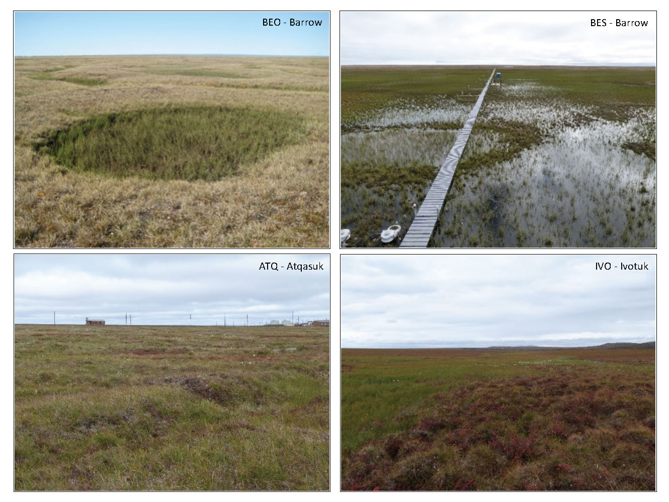
Arctic Vegetation Plots in Flux Tower Footprints, North Slope, Alaska, 2014
National Aeronautics and Space Administration —
This data set provides vegetation, environmental, and soil data collected from plots located in the footprints of eddy covariance flux towers along a 300 km north-...

Official websites use .gov
A
.gov website belongs to an official government
organization in the United States.
Secure .gov websites use HTTPS
A
lock (
) or https:// means you’ve safely connected to
the .gov website. Share sensitive information only on official,
secure websites.