
-
Federal
PhenoCam Dataset v2.0: Digital Camera Imagery from the PhenoCam Network, 2000-2018
National Aeronautics and Space Administration —
This dataset provides a time series of visible-wavelength digital camera imagery collected through the PhenoCam Network at each of 393 sites predominantly in North... -
Federal
DSCOVR EPIC Level 3 PAR
National Aeronautics and Space Administration —
DSCOVR_EPIC_L3_PAR_01 is the Deep Space Climate Observatory (DSCOVR) Earth Polychromatic Imaging Camera (EPIC) Level 3 photosynthetically available radiation (PAR)... -
Federal
OPERA Land Surface Disturbance Alert from Harmonized Landsat Sentinel-2 product (Version 1)
National Aeronautics and Space Administration —
The Observational Products for End-Users from Remote Sensing Analysis (OPERA) Land Surface Disturbance Alert from... -
Federal
DSCOVR EPIC Level 3 PAR Image
National Aeronautics and Space Administration —
DSCOVR_EPIC_L3_PAR-image_01 is a view image showing data from DSCOVR_EPIC_L3_PAR, which is the Deep Space Climate Observatory (DSCOVR) Earth Polychromatic Imaging... -
Federal
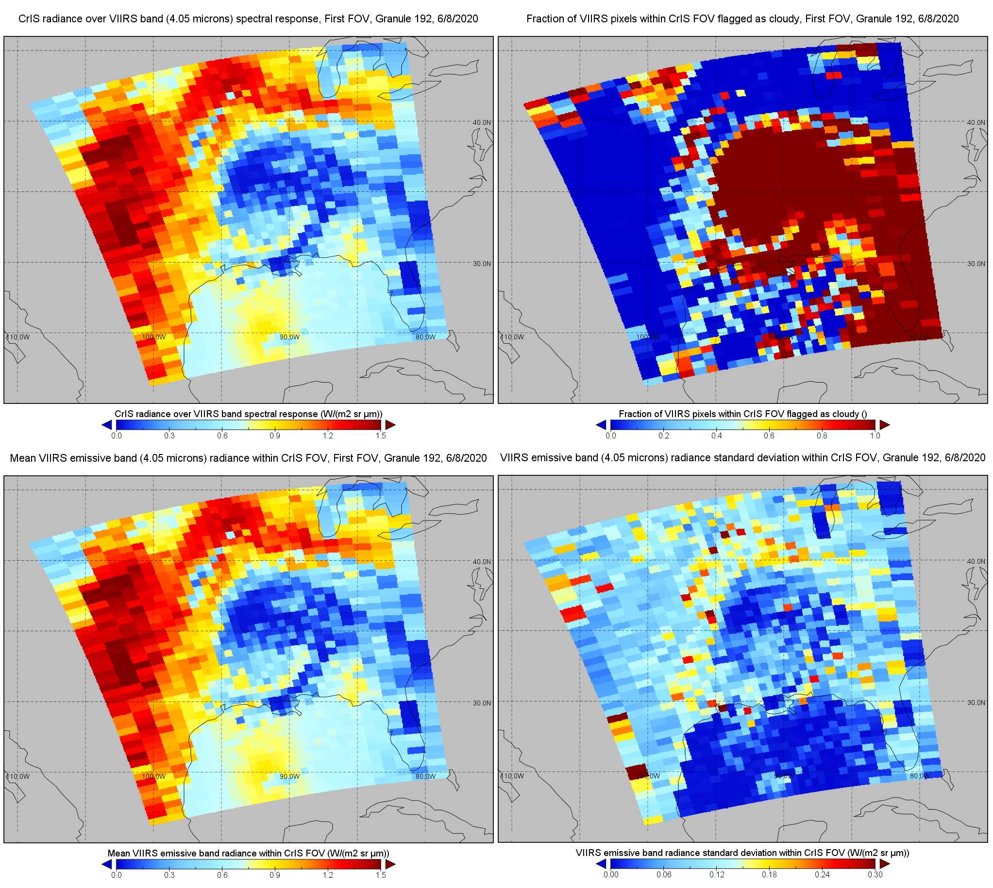
S-NPP CrIS IMG: Collocated VIIRS level 1 / cloud mask statistical summary V2 (SNDRSNCrISL1BIMG) at GES DISC
National Aeronautics and Space Administration —
The Cross-track Infrared Sounder (CrIS) Level 1B Normal Spectral Resolution (NSR) data files contain radiance measurements along with ancillary spacecraft,... -
Federal
MODIS/Terra Near Real Time (NRT) Calibrated Radiances 5-Min L1B Swath 1km
National Aeronautics and Space Administration —
The MODIS Level 1B Near Real Time (NRT) data set contains calibrated and geolocated at-aperture radiances for 36 discrete bands located in the 0.4 to 14.4 micron... -
Federal
VIIRS/NPP Burned Area Monthly L4 Global 500m SIN Grid V002
National Aeronautics and Space Administration —
The daily NASA/NOAA Suomi National Polar-orbiting Partnership (Suomi NPP) Visible Infrared Imaging Radiometer Suite (VIIRS) Burned Area (VNP64A1) Version 2 data... -
Federal
Global Soil Profile Data (ISRIC-WISE)
National Aeronautics and Space Administration —
The International Soil Reference and Information Centre-World Inventory of Soil Emission Potentials (ISRIC-WISE) international soil profile data set consists of a... -
Federal
CLPX-Airborne: Infrared Orthophotography and Lidar Topographic Mapping, Version 1
National Aeronautics and Space Administration —
The data set consists of color infrared orthophotography (TerrainVision® - High resolution Topographic Mapping & Aerial Photography, with 6-inch pixel... -
Federal
Vegetation Index and Phenology (VIP) Vegetation Indices Daily Global 0.05Deg CMG V004
National Aeronautics and Space Administration —
The NASA Making Earth System Data Records for Use in Research Environments (MEaSUREs)... -
Federal
S-NPP CrIS IMG_COL: Array indices for collocated VIIRS observations V2 (SNDRSNCrISL1BIMGC) at GES DISC
National Aeronautics and Space Administration —
The Cross-track Infrared Sounder (CrIS) Level 1B Normal Spectral Resolution (NSR) data files contain radiance measurements along with ancillary spacecraft,... -
Federal
Land Cover and Vegetation Map Collection for Seward Peninsula, Alaska
National Aeronautics and Space Administration —
This data set provides two landcover and vegetation maps for the Seward Peninsula, Alaska. These maps were produced from existing maps, Landsat imagery, and color... -
Federal
ECOSTRESS Gridded Evaporative Stress Index PT-JPL Instantaneous L4 Global 70 m V002
National Aeronautics and Space Administration —
The ECOsystem Spaceborne Thermal Radiometer Experiment on Space Station (ECOSTRESS) mission measures the temperature of plants to better understand how much water... -
Federal
Pacific Color 2025
National Aeronautics and Space Administration —
The Pacific Color 2025 Expedition is a multiplatform interdisciplinary research expedition in the context of an interinstitutional international collaboration between... -
Federal
TCSP ER-2 MICROWAVE TEMPERATURE PROFILER (MTP) V1
National Aeronautics and Space Administration —
The TCSP ER-2 Microwave Temperature Profiler (MTP) dataset was collected by the ER-2 Microwave Temperature Profiler (MTP), which is a passive microwave radiometer... -
Federal
SMEX04 Landsat Thematic Mapper Imagery, Sonora, Version 1
National Aeronautics and Space Administration —
This data set provides imagery developed from Landsat 5 Thematic Mapper (TM) data for use in studying land cover features during the Soil Moisture Experiment 2004... -
Federal
SAFARI 2000 ER-2 Color-IR Aerial Photography, Dry Season 2000
National Aeronautics and Space Administration —
Aerial photography from the NASA ER-2 high altitude aircraft was collected to provide detailed and spatially extensive documentation over parts of the SAFARI study... -
157 datasets found for "Color"

Official websites use .gov
A
.gov website belongs to an official government
organization in the United States.
Secure .gov websites use HTTPS
A
lock (
) or https:// means you’ve safely connected to
the .gov website. Share sensitive information only on official,
secure websites.