
-
Federal
Pre-Delta-X: Total Suspended Solids of Surface Water across MRD, LA, USA, 2015-2016
National Aeronautics and Space Administration —
This dataset contains the total suspended solids (TSS) concentration of in situ water samples collected at selected sites across the Atchafalaya and Terrebonne Basins... -
Federal
SWOT Level 2 River Single-Pass Vector Data Product, Version 2.0
National Aeronautics and Space Administration —
The SWOT Level 2 River Single-Pass Vector Data Product from the Surface Water Ocean Topography (SWOT) mission provides water surface elevation, slope, width, and... -
Federal
SWOT Level 2 Water Mask Raster Image 100m Data Product, Version D
National Aeronautics and Space Administration —
The SWOT Level 2 KaRIn High Rate Raster Product (SWOT_L2_HR_Raster_D) provides rasterized estimates of water surface elevation, inundation extent, and radar... -
Federal
LISTOS Stony Brook Aircraft In-Situ Data
National Aeronautics and Space Administration —
LISTOS_AircraftInSitu_StonyBrookAircraft_Data is the Long Island Sound Tropospheric Ozone Study (LISTOS) in-situ data collected onboard the Stony Brook Aircraft... -
Federal
SWOT Level 2 Lake Single-Pass Vector Data Product, Version 2.0
National Aeronautics and Space Administration —
The SWOT Level 2 Lake Single-Pass Vector Data Product from the Surface Water Ocean Topography (SWOT) mission provides water surface elevation, area, storage change... -
Federal
SWOT Level 2 Lake Single-Pass Vector Obs Data Product, Version 2.0
National Aeronautics and Space Administration —
The SWOT Level 2 Lake Single-Pass Vector Obs Data Product from the Surface Water Ocean Topography (SWOT) mission provides water surface elevation, area, storage... -
Federal
SWOT Level 2 Lake Single-Pass Vector Data Product, Version C
National Aeronautics and Space Administration —
The SWOT Level 2 Lake Single-Pass Vector Data Product from the Surface Water Ocean Topography (SWOT) mission provides water surface elevation, area, storage change... -
Federal
SWOT Level 2 River Single-Pass Vector Node Data Product, Version 2.0
National Aeronautics and Space Administration —
The SWOT Level 2 River Single-Pass Vector Node Data Product from the Surface Water Ocean Topography (SWOT) mission provides water surface elevation, slope, width, and... -
Federal
LISTOS University of Maryland Cessna Aircraft In-Situ Data
National Aeronautics and Space Administration —
LISTOS_AircraftInSitu_UMDAircraft_Data is the Long Island Sound Tropospheric Ozone Study (LISTOS) in-situ data collected onboard the University of Maryland Cessna... -
Federal
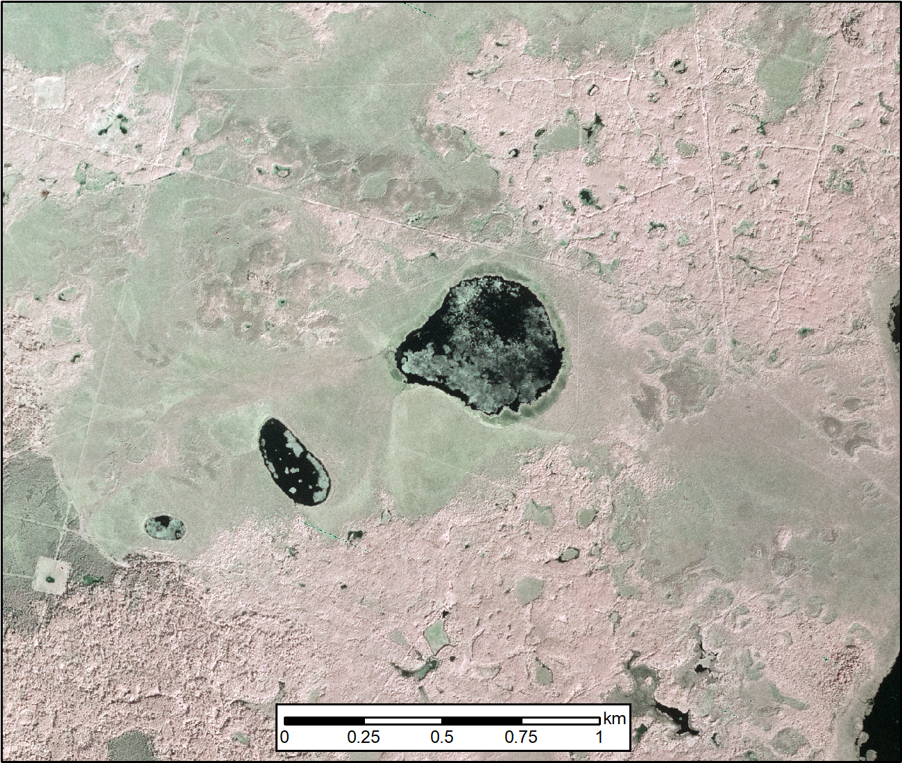
ABoVE: AirSWOT Color-Infrared Imagery Over Alaska and Canada, 2017
National Aeronautics and Space Administration —
This dataset contains georeferenced three-band orthomosaics of green, red, and near-infrared (NIR) digital imagery at 1m resolution collected over selected surface... -
Federal
SWOT Level 2 Lake Single-Pass Vector Unassigned Data Product, Version 2.0
National Aeronautics and Space Administration —
The SWOT Level 2 Lake Single-Pass Vector Unassigned Data Product from the Surface Water Ocean Topography (SWOT) mission provides water surface elevation, area,... -
Federal
LISTOS New Haven Ground Site Data
National Aeronautics and Space Administration —
LISTOS_Ground_NewHaven_Data is the Long Island Sound Tropospheric Ozone Study (LISTOS) ground site data collected at the New Haven ground site during the LISTOS field... -
Federal
LISTOS Rutgers Ground Site Data
National Aeronautics and Space Administration —
LISTOS_Ground_Rutgers_Data is the Long Island Sound Tropospheric Ozone Study (LISTOS) Rutgers ground site data collected during the LISTOS field campaign. This... -
Federal
OWLETS-1 Sherpa Aircraft Data
National Aeronautics and Space Administration —
OWLETS1_SherpaAircraft_Data_1 is the Ozone Water-Land Environmental Transition Study (OWLETS-1) data collected on board the Sherpa Aircraft. OWLETS was supported by... -
Federal
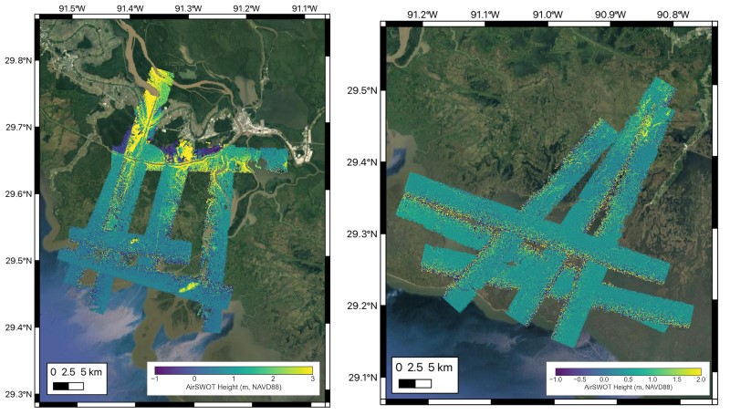
Delta-X: AirSWOT L2 Geocoded Water Surface Elevation, MRD, LA, 2021, V3
National Aeronautics and Space Administration —
This dataset contains Level 2 (L2) AirSWOT geocoded products, including estimated water surface elevation. The AirSWOT instrument is a Ka-band interferometer and for... -
Federal
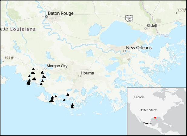
Delta-X: Acoustic Doppler Current Profiler Channel Surveys, MRD, Louisiana, 2021, V2
National Aeronautics and Space Administration —
This dataset provides river discharge measurements collected at selected locations in the Atchafalaya and Terrebonne Basins within the Mississippi River Delta (MRD)... -
Federal
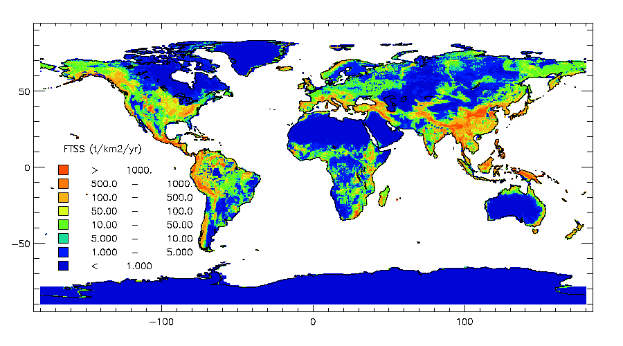
ISLSCP II Global River Fluxes of Carbon and Sediments to the Oceans
National Aeronautics and Space Administration —
The River Carbon Flux data set represents estimates for the riverine export of carbon and of sediments. This data set includes the amounts of carbon and of sediments... -
Federal
Pre-Delta-X: Water Levels across Wax Lake Outlet, Atchafalaya Basin, LA, USA, 2016
National Aeronautics and Space Administration —
This dataset provides absolute water level elevations derived for 10 locations across the Wax Lake Delta, Atchafalaya Basin, in Southern Louisiana, USA, within the... -
Federal
LISTOS Bayonne Ground Site Data
National Aeronautics and Space Administration —
LISTOS_Ground_Bayonne_Data is the Long Island Sound Tropospheric Ozone Study (LISTOS) ground site data collected at the Bayonne ground site during the LISTOS field... -
Federal
LISTOS Queens College Ground Site Data
National Aeronautics and Space Administration —
LISTOS_Ground_QueensCollege_Data is the Long Island Sound Tropospheric Ozone Study (LISTOS) ground site data collected at the Queens College ground site during the...

Official websites use .gov
A
.gov website belongs to an official government
organization in the United States.
Secure .gov websites use HTTPS
A
lock (
) or https:// means you’ve safely connected to
the .gov website. Share sensitive information only on official,
secure websites.