
-
Federal
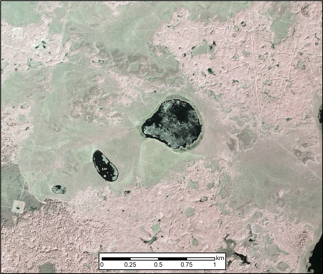
SRTM Water Body Data
National Aeronautics and Space Administration —
The SRTM Water Body Data files are a by-product of the data editing performed by the National Geospatial-Intelligence Agency (NGA) to produce the finished SRTM... -
Federal
Merged Sentinel-3A and Sentinel-3B OLCI Global Binned CyAN Project, True Color (TC) Data, version 5.0
National Aeronautics and Space Administration —
Cyanobacteria Assessment Network (CyAN) is a multi-agency project among EPA, the National Aeronautics and Space Administration (NASA), the National Oceanic and... -
Federal
SWOT Level 2 River Single-Pass Vector Data Product, Version 2.0
National Aeronautics and Space Administration —
The SWOT Level 2 River Single-Pass Vector Data Product from the Surface Water Ocean Topography (SWOT) mission provides water surface elevation, slope, width, and... -
Federal
Pre-Delta-X: Total Suspended Solids of Surface Water across MRD, LA, USA, 2015-2016
National Aeronautics and Space Administration —
This dataset contains the total suspended solids (TSS) concentration of in situ water samples collected at selected sites across the Atchafalaya and Terrebonne Basins... -
Federal
SWOT Level 2 Water Mask Raster Image 100m Data Product, Version D
National Aeronautics and Space Administration —
The SWOT Level 2 KaRIn High Rate Raster Product (SWOT_L2_HR_Raster_D) provides rasterized estimates of water surface elevation, inundation extent, and radar... -
Federal
Local Observations from the Seasonal Ice Zone Observing Network (SIZONet) and Alaska Arctic Observatory and Knowledge Hub (AAOKH), Version 2
National Aeronautics and Space Administration —
The Seasonal Ice Zone Observing Network (SIZONet) and the Alaska Arctic Observatory and Knowledge Hub (AAOKH) share the Local Observations Interface, which allows... -
Federal
LISTOS Stony Brook Aircraft In-Situ Data
National Aeronautics and Space Administration —
LISTOS_AircraftInSitu_StonyBrookAircraft_Data is the Long Island Sound Tropospheric Ozone Study (LISTOS) in-situ data collected onboard the Stony Brook Aircraft... -
Federal
SWOT Level 2 River Single-Pass Vector Reach Data Product, Version 2.0
National Aeronautics and Space Administration —
The SWOT Level 2 River Single-Pass Vector Reach Data Product from the Surface Water Ocean Topography (SWOT) mission provides water surface elevation, slope, width,... -
Federal
Sea Ice in the Belcher Islands, Nunavut, Canada, Version 1
National Aeronautics and Space Administration —
This data set contains interviews of three hunters from Sanikiliaq, Belcher Islands, in the territory of Nunavut, Canada. The hunters describe their observations of... -
Federal
SWOT Level 2 Lake Single-Pass Vector Data Product, Version 2.0
National Aeronautics and Space Administration —
The SWOT Level 2 Lake Single-Pass Vector Data Product from the Surface Water Ocean Topography (SWOT) mission provides water surface elevation, area, storage change... -
Federal
SWOT Level 2 Lake Single-Pass Vector Obs Data Product, Version 2.0
National Aeronautics and Space Administration —
The SWOT Level 2 Lake Single-Pass Vector Obs Data Product from the Surface Water Ocean Topography (SWOT) mission provides water surface elevation, area, storage... -
Federal
SWOT Level 2 Lake Single-Pass Vector Data Product, Version C
National Aeronautics and Space Administration —
The SWOT Level 2 Lake Single-Pass Vector Data Product from the Surface Water Ocean Topography (SWOT) mission provides water surface elevation, area, storage change... -
Federal
Multi-Resolution Land Characteristics
National Aeronautics and Space Administration —
The Multi-Resolution Land Characteristics (MRLC) project was established to provide multi-resolution land cover data of the conterminous United States from local to... -
Federal
SWOT Level 2 River Single-Pass Vector Node Data Product, Version 2.0
National Aeronautics and Space Administration —
The SWOT Level 2 River Single-Pass Vector Node Data Product from the Surface Water Ocean Topography (SWOT) mission provides water surface elevation, slope, width, and... -
Federal
ENVISAT MERIS Global Binned Cyanobacteria Index (CI) Data, version 5.0
National Aeronautics and Space Administration —
Cyanobacteria Assessment Network (CyAN) is a multi-agency project among EPA, the National Aeronautics and Space Administration (NASA), the National Oceanic and... -
Federal
LISTOS University of Maryland Cessna Aircraft In-Situ Data
National Aeronautics and Space Administration —
LISTOS_AircraftInSitu_UMDAircraft_Data is the Long Island Sound Tropospheric Ozone Study (LISTOS) in-situ data collected onboard the University of Maryland Cessna... -
Federal
SWOT Level 2 Lake Single-Pass Vector Unassigned Data Product, Version 2.0
National Aeronautics and Space Administration —
The SWOT Level 2 Lake Single-Pass Vector Unassigned Data Product from the Surface Water Ocean Topography (SWOT) mission provides water surface elevation, area,... -
Federal
ABoVE: AirSWOT Color-Infrared Imagery Over Alaska and Canada, 2017
National Aeronautics and Space Administration —
This dataset contains georeferenced three-band orthomosaics of green, red, and near-infrared (NIR) digital imagery at 1m resolution collected over selected surface... -
Federal
STAQS NASA G-III GEOstationary Coastal and Air Pollution Events (GEO-CAPE) Airborne Simulator Data
National Aeronautics and Space Administration —
STAQS_AircraftRemoteSensing_NASA-G3_GCAS_Data is the remotely sensed trace gas data for the NASA Gulfstream III aircraft taken by the GEOstationary Coastal and Air... -
Federal
SWOT Level 2 Lake Single-Pass Vector Prior Data Product, Version 2.0
National Aeronautics and Space Administration —
The SWOT Level 2 Lake Single-Pass Vector Prior Data Product from the Surface Water Ocean Topography (SWOT) mission provides water surface elevation, area, storage...

Official websites use .gov
A
.gov website belongs to an official government
organization in the United States.
Secure .gov websites use HTTPS
A
lock (
) or https:// means you’ve safely connected to
the .gov website. Share sensitive information only on official,
secure websites.