

7 datasets found for "Census Collection Blocks"
-
Federal
CYGNSS Level 3 Climate Data Record Version 1.0
National Aeronautics and Space Administration —
This dataset contains the Version 1.0 CYGNSS Level 3 Climate Data Record which provides the average wind speed and mean square slope (MSS) on a 0.2x0.2 degree... -
Federal
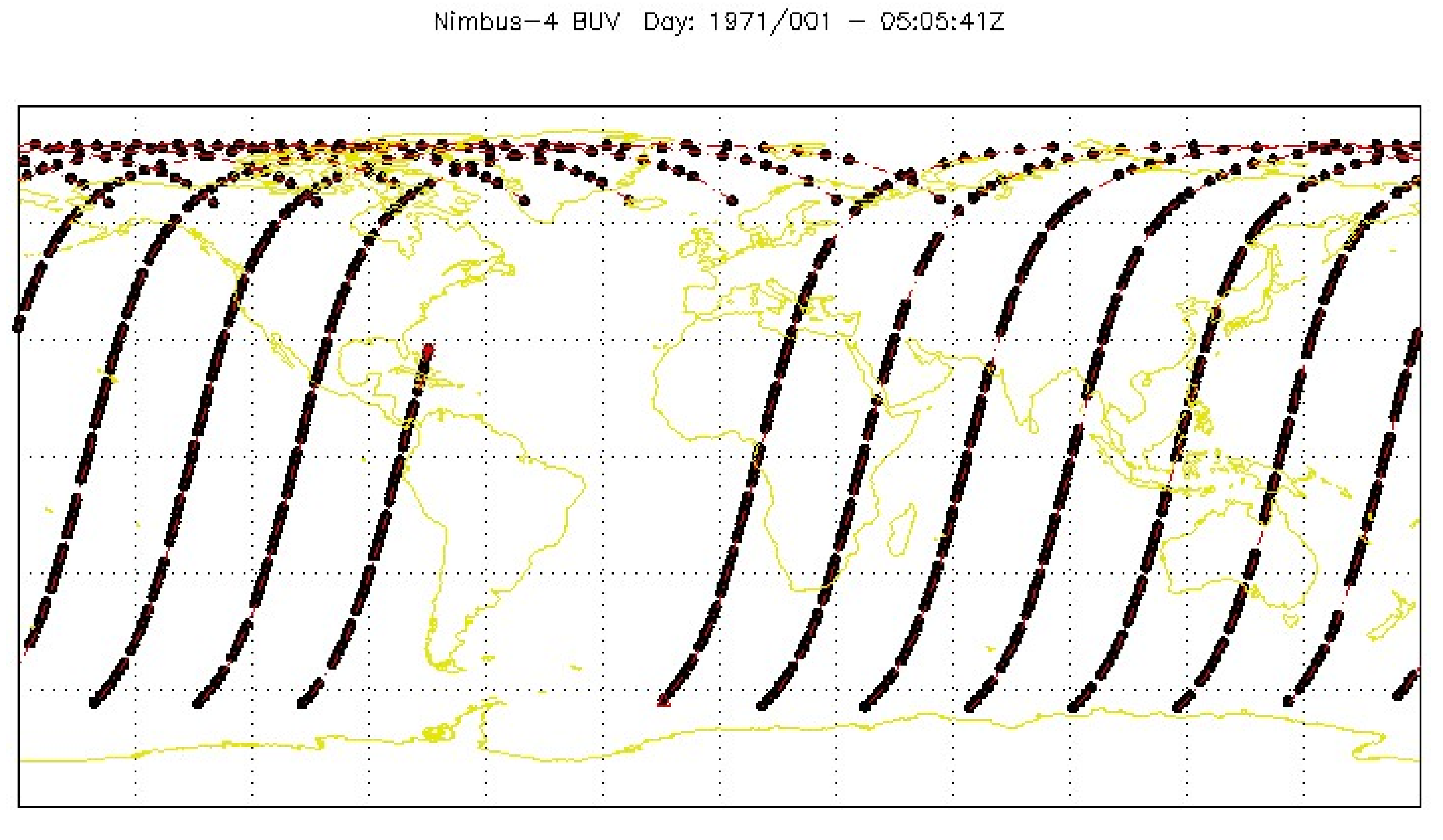
BUV/Nimbus-4 Level 2 Compressed Ozone Profile Data V005 (BUVN4L2CPOZ) at GES DISC
National Aeronautics and Space Administration —
The Nimbus-4 BUV Level 2 Compressed Ozone Profile Data collection or CPOZ contains total ozone, reflectivities, ozone mixing ratios and layer ozone amounts measured... -
Federal
U.S. Census Grids (Summary File 3), 1990: Metropolitan Statistical Areas
National Aeronautics and Space Administration —
The U.S. Census Grids (Summary File 3), 1990: Metropolitan Statistical Areas data set contains grids of demographic and socioeconomic data from the year 1990 U.S.... -
Federal
CYGNSS Level 2 Climate Data Record Version 1.0
National Aeronautics and Space Administration —
This dataset contains the Version 1.0 CYGNSS Level 2 Climate Data Record which provides the time-tagged and geolocated average wind speed (m/s) and mean square slope... -
Federal
CYGNSS Level 1 Climate Data Record Version 1.0
National Aeronautics and Space Administration —
This Level 1 (L1) dataset contains the Version 1.0 Climate Data Record (CDR) of the geo-located Delay Doppler Maps (DDMs) calibrated into Power Received (Watts) and... -
Federal
BUV/Nimbus-4 Level 2 High-Density Ozone Data V005 (BUVN4L2HDBUV) at GES DISC
National Aeronautics and Space Administration —
The Nimbus-4 BUV Level 2 High-Density Ozone Data collection contains the vertical distribtuion and total column amount of ozone, as well as the full set of ancillary... -
Federal
BUV/Nimbus-4 Level 1 Radiance Data V001 (BUVN4L1RUT) at GES DISC
National Aeronautics and Space Administration —
The Nimbus-4 BUV Level-1 Radiance data collection was derived from the Primary Data Base (PDB) product and contains the calibrated and geolocated backscattered...
7 datasets found for "Census Collection Blocks"