
-
Federal
CAMP2Ex Miscellaneous Data
National Aeronautics and Space Administration —
CAMP2Ex_Miscellaneous_Data are miscellaneous data (satellite, model, analysis, merge data, etc.) collected during the Clouds, Aerosol and Monsoon Processes-... -
Federal
A Global Database of Gas Fluxes from Soils after Rewetting or Thawing, Version 1.0
National Aeronautics and Space Administration —
This database contains information compiled from published studies on gas flux from soil following rewetting or thawing. The resulting database includes 222 field and... -
Federal
OMPS/NPP L1B NP Radiance EV Calibrated Geolocated Swath Orbital V2 (OMPS_NPP_NPEV_L1B) at GES DISC
National Aeronautics and Space Administration —
The OMPS-NPP L1B NP Radiance EV Calibrated Geolocated Swath Orbital collection contains calibrated and geolocated radiances from 300 to 380 nm measured by the OMPS... -
Federal
LBA-ECO CD-10 H2O Profiles at km 67 Tower Site, Tapajos National Forest
National Aeronautics and Space Administration —
This data set reports vertical profiles of H2O vapor concentrations measured at the Para Western (Santarem) - km 67, Primary Forest Tower Site (Figure 1). This site... -
Federal
Leaf Area Index Maps at 30-m Resolution, VALERI Site, Larose, Canada
National Aeronautics and Space Administration —
This data set provide local LAI maps for the Larose (Ontario) site in Canada. These derived maps may also be useful for validating other LAI maps over this same site... -
Federal
LUNAR TERRAIN AND ALBEDO RECONSTRUCTION FROM APOLLO IMAGERY
National Aeronautics and Space Administration —
LUNAR TERRAIN AND ALBEDO RECONSTRUCTION FROM APOLLO IMAGERY ARA V NEFIAN, TAEMIN KIM, MICHAEL BROXTON, AND ZACH MORATTO* Abstract. Generating accurate three... -
Federal
GPM MHS on NOAA18 (GPROF) Radiometer Precipitation Profiling L3 1 month 0.25 degree x 0.25 degree V07 (GPM_3GPROFNOAA18MHS_CLIM) at GES DISC
National Aeronautics and Space Administration —
Version 07 is the current version of the data set. Older versions are no longer available and have been superseded by Version 07. The "CLIM" products differ from... -
Federal
MODIS/Terra Vegetation Indices 16-Day L3 Global 250m SIN Grid V006
National Aeronautics and Space Administration —
The MOD13Q1 Version 6 data product was decommissioned on July 31, 2023. Users are encouraged to use the MOD13Q1 Version 6.1 data product.The Terra Moderate Resolution... -
Federal
MODIS/Terra+Aqua Direct Broadcast Burned Area Monthly L3 Global 500m SIN Grid V006
National Aeronautics and Space Administration —
The MCD64A1 Version 6 data product was decommissioned on July 31, 2023. Users are encouraged to use the MCD64A1 Version 6.1 data product.The Terra and Aqua combined... -
Federal
VIIRS/NPP BRDF/Albedo Parameter 2 Band M4 Daily L3 Global 30 ArcSec CMG V001
National Aeronautics and Space Administration —
The VNP43D11 Version 1 data product was decommissioned on July 31, 2025. Users are encouraged to use the VNP43D11 and VJ143D11 Version 2 data products.The NASA/NOAA... -
Federal
Machine Learning for Earth Observation Flight Planning Optimization
National Aeronautics and Space Administration —
This paper is a progress report of an effort whose goal is to demonstrate the effectiveness of automated data mining and planning for the daily management of Earth... -
Federal
MiCASA Daily NPP Rh ATMC NEE FIRE FUEL Fluxes 0.1 degree x 0.1 degree
National Aeronautics and Space Administration —
MiCASA is an extensive revision of CASA-GFED3. CASA-GFED3 derives from Potter et al. (1993), diverging in development since Randerson et al. (1996). CASA is a light... -
Federal
Global Maps of Atmospheric Nitrogen Deposition, 1860, 1993, and 2050
National Aeronautics and Space Administration —
This data set provides global gridded estimates of atmospheric deposition of total inorganic nitrogen (N), NHx (NH3 and NH4+), and NOy (all oxidized forms of nitrogen... -
Federal
BOREAS RSS-01 PARABOLA SSA Surface Reflectance and Transmittance Data
National Aeronautics and Space Administration —
The BOREAS RSS-01 team collected surface reflectance and transmittance data from three forested sites in the SSA. This data set contains averaged reflectance factors... -
Federal
BOREAS RSS-16 Level-3b DC-8 AIRSAR SY Images
National Aeronautics and Space Administration —
The BOREAS RSS-16 team used satellite and aircraft SAR data in conjunction with various ground measurements to determine the moisture regime of the boreal forest.... -
Federal
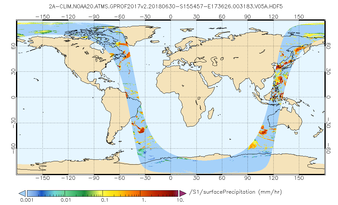
GPM ATMS on NOAA-20 (GPROF) Climate-based Radiometer Precipitation Profiling L2A 1.5 hours 17 km V07 (GPM_2AGPROFNOAA20ATMS_CLIM) at GES DISC
National Aeronautics and Space Administration —
Version 07 is the current version of the data set. The "CLIM" products differ from their "regular" counterparts (without the "CLIM" in the name) by the ancillary data... -
Federal
AMAZE-08 Aerosol Characterization and Meteorological Data, Central Amazon Basin: 2008
National Aeronautics and Space Administration —
This data set provides measurements from the Amazonian Aerosol Characterization Experiment (AMAZE-08) carried out during the wet season from February 4 to March 21,... -
Federal
BOREAS HYD-03 Snow Temperature Profiles
National Aeronautics and Space Administration —
The BOREAS HYD-03 team collected several data sets related to the hydrology of forested areas. This data set contains measurements of snow depth, snow density in 3-cm... -
Federal
VIIRS/NPP BRDF/Albedo WSA at Solar Noon NIR Daily L3 Global 30ArcSec CMG V001
National Aeronautics and Space Administration —
The VNP43D77 Version 1 data product was decommissioned on July 31, 2025. Users are encouraged to use the VNP43D77 and VJ143D77 Version 2 data products.The NASA/NOAA... -
Federal
GPM SSMIS on F17 (GPROF) Climate-based Radiometer Precipitation Profiling 1.5 hours 12 km V07 (GPM_2AGPROFF17SSMIS_CLIM) at GES DISC
National Aeronautics and Space Administration —
Version 07 is the current version of the data set. Older versions will no longer be available and have been superseded by Version 07.The 'CLIM' products differ from...

Official websites use .gov
A
.gov website belongs to an official government
organization in the United States.
Secure .gov websites use HTTPS
A
lock (
) or https:// means you’ve safely connected to
the .gov website. Share sensitive information only on official,
secure websites.