
-
Federal
NASA Ocean Biogeochemical Model assimilating satellite chlorophyll data global monthly VR2017 (NOBM_MON) at GES DISC
National Aeronautics and Space Administration —
This is the assimilated monthly data from NASA Ocean Biogeochemical Model (NOBM). The NOBM is a comprehensive, interactive ocean biogeochemical model coupled with a... -
Federal
GOES-R Geostationary Lightning Mapper (GLM) Gridded Data Products V1
National Aeronautics and Space Administration —
The GOES-R Geostationary Lightning Mapper (GLM) Gridded Data Products consist of full disk extent gridded lightning flash data collected by the Geostationary... -
Federal
Global Food Security-support Analysis Data (GFSAD) Cropland Extent-Product 2015 Validation 30 m V001
National Aeronautics and Space Administration —
The NASA Making Earth System Data Records for Use in Research Environments (MEaSUREs) Global Food Security-support Analysis Data (GFSAD) data product provides... -
Federal
EMIT L2B Methane Enhancement Data 60 m V002
National Aeronautics and Space Administration —
The Earth Surface Mineral Dust Source Investigation (EMIT) instrument measures surface mineralogy, targeting the Earth’s arid dust source regions. EMIT is installed... -
Federal
NACP North American Forest Dynamics Project: Forest Disturbance and Regrowth Data
National Aeronautics and Space Administration —
This data set provides the results of time-series analyses of Landsat imagery for 55 selected forested sites across the conterminous U.S.A. The output is a pair of... -
Federal
MODIS/Terra+Aqua Land Cover Type Yearly L3 Global 500m SIN Grid V061
National Aeronautics and Space Administration —
The Terra and Aqua combined Moderate Resolution Imaging Spectroradiometer (MODIS) Land Cover Type (MCD12Q1) Version 6.1 data product provides global land cover types... -
Federal
TRMM Precipitation Radar Rain Characteristics L2 1.5 hours V7 (TRMM_2A23) at GES DISC
National Aeronautics and Space Administration —
The new version of these data is in GPM-like format (consistent with the GPM Dual-frequency Radar data format), and can be found under the name GPM_2APR. The TRMM... -
Federal
VIIRS/NPP Surface Reflectance Daily L2G Global 1km and 500m SIN Grid V001
National Aeronautics and Space Administration —
The Visible Infrared Imaging Radiometer Suite (VIIRS) (https://lpdaac.usgs.gov/dataset_discovery/viirs) daily surface reflectance (VNP09GA) Version 1 product provides... -
Federal
TRMM Ground Validation Calibrated QC Radar Reflectivity Full Volume Scan L1C 1 hour V7 (TRMM_1C51) at GES DISC
National Aeronautics and Space Administration —
The purpose of the 1C51 algorithm is to remove non-meteorological radar echoes that adversely affect the quality of higher level products, such as clutter associated... -
Federal
VISSR/SMS-2 Level 1 Atmospheric and Oceanographic Image Processing System (AOIPS) Data V001 (VISSRSMS2L1AOIPS) at GES DISC
National Aeronautics and Space Administration —
VISSRSMS2L1AOIPS is the Visible Infrared Spin-Scan Radiometer (VISSR) Level 1 Atmospheric and Oceanographic Image Processing System (AOIPS) data product from the... -
Federal
SAMS/Nimbus-7 Level 1 Radiance Data from CD-ROM V001 (SAMSN7L1RAD_CDROM) at GES DISC
National Aeronautics and Space Administration —
SAMSN7L1RAD_CDROM is the gridded Nimbus-7 Stratospheric and Mesospheric Sounder (SAMS) Level 1 Radiance Data Product. The radiances were selected to derive gas... -
Federal
TRMM Radar Rainfall Statistics L3 1 month (5 x 5) and (0.5 x 0.5) degree V7 (TRMM_3A25) at GES DISC
National Aeronautics and Space Administration —
The new version of these data is in GPM-like format (consistent with the GPM Dual-frequency Radar data format), and can be found under the name GPM_3PR. This product... -
Federal
LIMS/Nimbus-7 Level 1 Radiance Data V001 (LIMSN7L1PROFILER) at GES DISC
National Aeronautics and Space Administration —
LIMSN7L1PROFILER is the Nimbus-7 Limb Infrared Monitor of the Stratosphere (LIMS) Level-1 Profiles of Radiance Data product and contains selected daily vertical... -
Federal
MODIS/Terra Land Surface Temperature/Emissivity Monthly L3 Global 6km SIN Grid V006
National Aeronautics and Space Administration —
The MOD11B3 Version 6 data product was decommissioned on July 31, 2023. Users are encouraged to use the MOD11B3 Version 6.1 data product.The MOD11B3 Version 6 product... -
Federal
Vehicle-Level Reasoning Systems: Integrating System-Wide data to Estimate Instantaneous Health State
National Aeronautics and Space Administration —
One of the primary goals of Integrated Vehicle Health Management (IVHM) is to detect, diagnose, predict, and mitigate adverse events during the flight of an aircraft,... -
Federal
AIRS/Aqua L1B Near Real Time (NRT) Infrared (IR) quality assurance subset V005 (AIRIBQAP_NRT) at GES DISC
National Aeronautics and Space Administration —
The AIRS Level 1B Near Real Time (NRT) product (AIRIBQAP_NRT_005) differs from the routine product (AIRIBQAP_005) in 2 ways to meet the three hour latency... -
Federal
SatCORPS CERES GEO Edition 4 GOES-15 Southern Hemisphere Version 1.0
National Aeronautics and Space Administration —
CER_GEO_Ed4_GOE15_SH_V01 is the Satellite Cloud and Radiation Property retrieval System (SatCORPS) Clouds and the Earth's Radiant Energy System (CERES) Geostationary... -
Federal
TES/Aura L2 Carbon Monoxide Nadir V007
National Aeronautics and Space Administration —
TL2CON_7 is the Tropospheric Emission Spectrometer (TES)/Aura Level 2 Carbon Monoxide Nadir Version 7 data product. TES was an instrument aboard NASA's Aura satellite... -
Federal
A Reasoning Architecture for Expert Troubleshooting of Complex Processes
National Aeronautics and Space Administration —
This paper introduces a novel reasoning methodology, in combination with appropriate models and measurements (data) to perform accurately and expeditiously expert... -
Federal
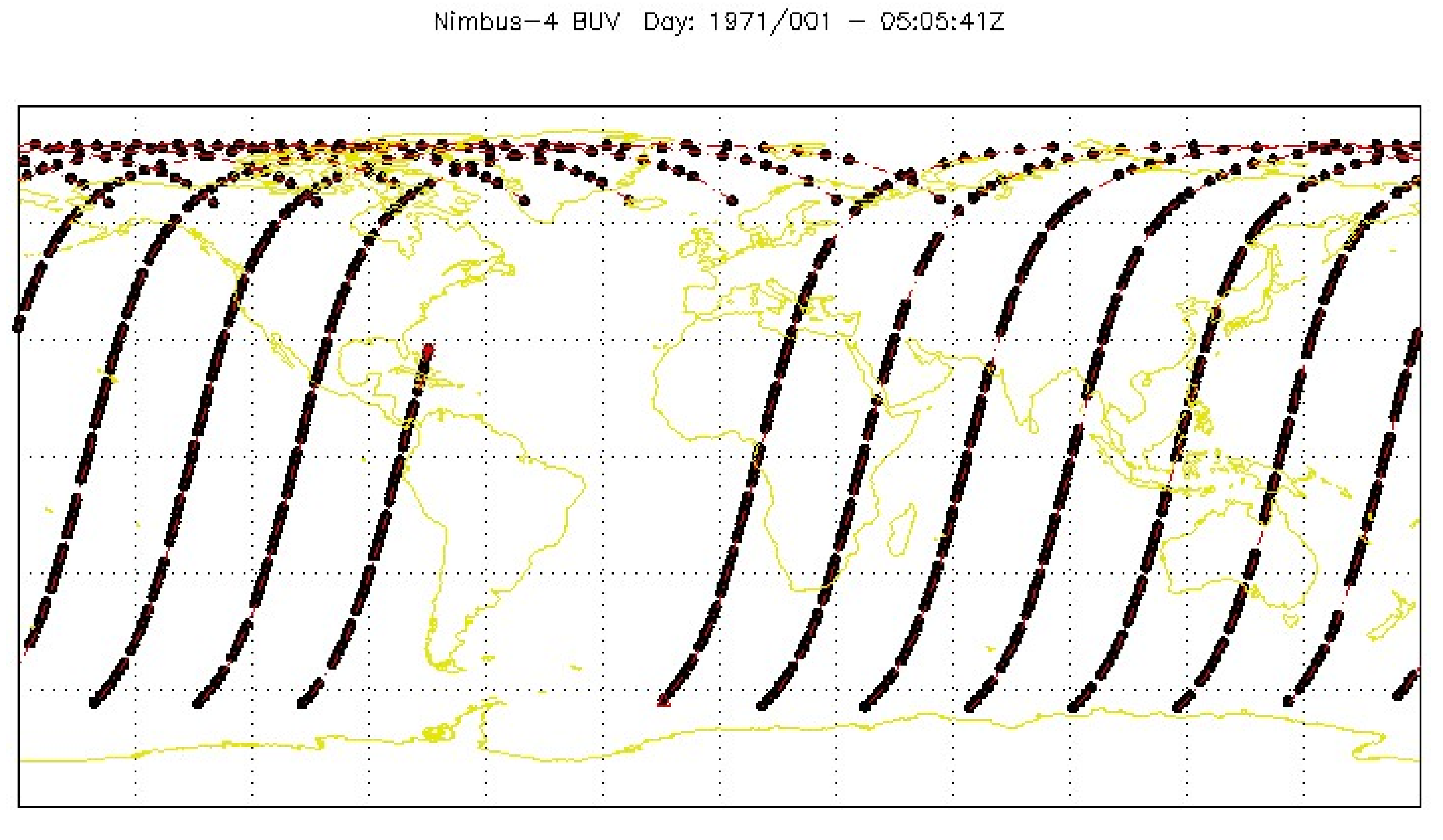
BUV/Nimbus-4 Level 1 Radiance Data V001 (BUVN4L1RUT) at GES DISC
National Aeronautics and Space Administration —
The Nimbus-4 BUV Level-1 Radiance data collection was derived from the Primary Data Base (PDB) product and contains the calibrated and geolocated backscattered...

Official websites use .gov
A
.gov website belongs to an official government
organization in the United States.
Secure .gov websites use HTTPS
A
lock (
) or https:// means you’ve safely connected to
the .gov website. Share sensitive information only on official,
secure websites.