

10 datasets found for "2024新版苹果cms影视泛目录缓存分离TDK描述内容独立缓存大数据高负载✅项目合作 二开均可 TG:saolei44✅.UdGxWwKGJSj"
-
Federal
SWOT Level 2 KaRIn Low Rate Sea Surface Height Data Product, Version 2.0
National Aeronautics and Space Administration —
The SWOT Level 2 KaRIn Low Rate Sea Surface Height Data Product from the Surface Water Ocean Topography (SWOT) mission provides global sea surface height and... -
Federal
MASTER: Geological Earth Mapping Experiment (GEMx), Spring 2024
National Aeronautics and Space Administration —
This dataset includes Level 1B (L1B) data products from the MODIS/ASTER Airborne Simulator (MASTER) instrument. The spectral data were collected during 26 flights... -
Federal
OCO-3 Level 1B calibrated, geolocated calibration spectra, Forward Processing V11 (OCO3_L1B_Calibration) at GES DISC
National Aeronautics and Space Administration —
Version 11 is the current version of the data set. Older versions will no longer be available and are superseded by Version 11. The Orbiting Carbon Observatory -3... -
Federal
OCO-2 Level 0 spacecraft ephemerides V11.2 (OCO2_Eph) at GES DISC
National Aeronautics and Space Administration —
Version 11.2 is the current version of the data set. Older versions will no longer be available and are superseded by Version 11.2. The Orbiting Carbon Observatory is... -
Federal
RSS SMAP Level 3 Sea Surface Salinity Standard Mapped Image Monthly V5.3 Validated Dataset
National Aeronautics and Space Administration —
The RSS SMAP Level 3 Sea Surface Salinity Standard Mapped Image Monthly V5.3 Validated Dataset produced by the Remote Sensing Systems (RSS) and sponsored by the NASA... -
Federal
OCO-2 Level 2 CO2 prior based on CO2 monthly flask record, global meteorology, and age of air V11.2 (OCO2_L2_CO2Prior) at GES DISC
National Aeronautics and Space Administration —
Version 11.2 is the current version of the data set. Older versions will no longer be available and are superseded by Version 11.2. The Orbiting Carbon Observatory is... -
Federal
ABoVE: Passive Microwave-derived Annual Snowpack Main Melt Onset Date Maps, 1988-2018
National Aeronautics and Space Administration —
This dataset provides the annual date of snowpack seasonal beginning melt (i.e., main melt onset date, MMOD) across northwest Canada; Alaska, U.S.; and parts of far... -
Federal
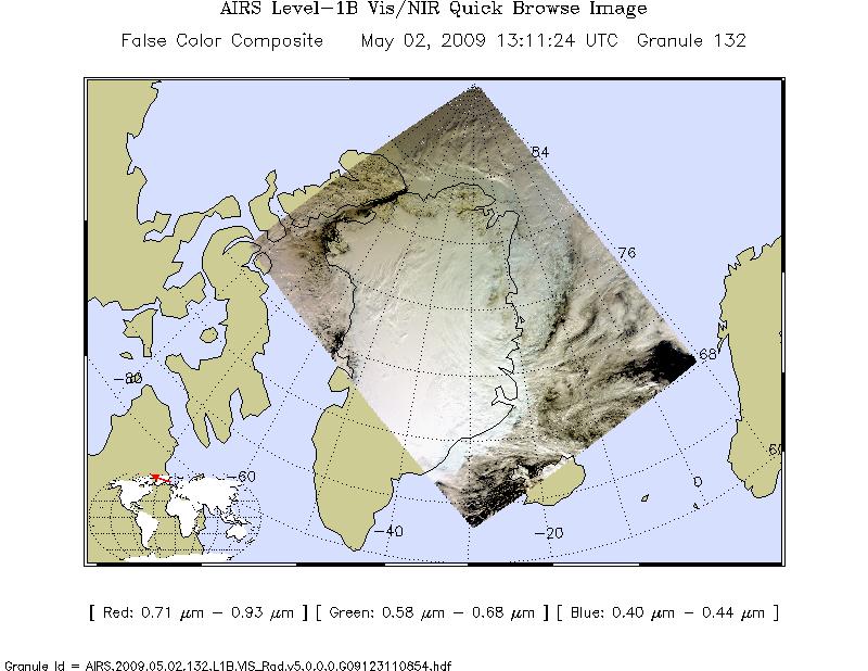
AIRS/Aqua L1B Near Real Time (NRT) Visible/Near Infrared (VIS/NIR) geolocated and calibrated radiances V005 (AIRVBRAD_NRT) at GES DISC
National Aeronautics and Space Administration —
The AIRS Visible/Near Infrared (VIS/NIR) Level 1B Near Real Time (NRT) product (AIRVBRAD_NRT_005) differs from the routine product (AIRVBRAD_005) in 2 ways to meet... -
Federal
MetOp-A ASCAT Scatterometer Inter-Calibrated ESDR Level 2 Ocean Surface Equivalent Neutral Wind Vectors and Wind Stress Vectors Version 1.1
National Aeronautics and Space Administration —
This dataset contains ocean surface wind vectors (equivalent neutral and true 10m) and wind stress vectors derived from satellite-based scatterometer observations... -
Federal
OCO-3 Level 2 spatially ordered geolocated retrievals screened using the A-band Preprocessor, Forward Processing V11 (OCO3_L2_ABand) at GES DISC
National Aeronautics and Space Administration —
Version 11 is the current version of the data set. Older versions will no longer be available and are superseded by Version 11. The Orbiting Carbon Observatory -3...
10 datasets found for "2024新版苹果cms影视泛目录缓存分离TDK描述内容独立缓存大数据高负载✅项目合作 二开均可 TG:saolei44✅.UdGxWwKGJSj"