
-
Federal
GEDI L4A Footprint Level Aboveground Biomass Density, Version 2.1
National Aeronautics and Space Administration —
This dataset contains Global Ecosystem Dynamics Investigation (GEDI) Level 4A (L4A) Version 2 predictions of the aboveground biomass density (AGBD; in Mg/ha) and... -
Federal
JPSS-1 CrIS Level 1B Principal Component Analysis / Rapid Event Detection V3.0 (SNDRJ1CrISL1BPCARED) at GES DISC
National Aeronautics and Space Administration —
This sample data collection contains L1B radiance values that are compressed and denoised via Principal Component Analysis (PCA). Additionally it contains a new Rapid... -
Federal
JPSS-2 CrIS Level 1B Beta Full Spectral Resolution V3 (SNDRJ2CrISL1B) at GES DISC
National Aeronautics and Space Administration —
The goal of creating this product is to allow users to begin working with data from the CrIS instrument on-board the recently launched NOAA-21 / JPSS-2 (J2)... -
Federal
MODIS/Terra Land Water Mask Derived from MODIS and SRTM L3 Global 250m SIN Grid V006
National Aeronautics and Space Administration —
The MOD44W Version 6 data product was decommissioned on July 18, 2024. Users are encouraged to use the MOD44W Version 6.1 data product... -
Federal
Sentinel-3B OLCI Level-3B Global Binned Earth-observation Reduced-Resolution (ERR) Inherent Optical Properties (IOP), Near Real-time (NRT) Data, version R2022.0
National Aeronautics and Space Administration —
The Ocean Biology DAAC produces near real-time (quicklook) products using the best-available combination of ancillary data from meteorological and ozone data. As... -
Federal
TEMPO gridded cloud fraction and pressure (O2-O2 dimer) V03 (PROVISIONAL)
National Aeronautics and Space Administration —
O2-O2 cloud Level 3 files provide cloud information on a regular grid covering the TEMPO field of regard for nominal TEMPO observations. Level 3 files are derived by... -
Federal
ECOSTRESS Swath Geolocation Instantaneous L1B Global 70 m V002
National Aeronautics and Space Administration —
The ECOsystem Spaceborne Thermal Radiometer Experiment on Space Station (ECOSTRESS) mission measures the temperature of plants to better understand how much water... -
Federal
XMM-Newton Serendipitous Source Catalog (4XMM-DR14 Version)
National Aeronautics and Space Administration —
The XMMSSC table contains the Fourth XMM-Newton Serendipitous Source Catalog, Fourteenth Data Release, or 4XMM-DR14. 4XMM-DR14 is the fourth-generation catalog of... -
Federal
SWOT Level 2 KaRIn Low Rate Sea Surface Height Data Product, Version 2.0
National Aeronautics and Space Administration —
The SWOT Level 2 KaRIn Low Rate Sea Surface Height Data Product from the Surface Water Ocean Topography (SWOT) mission provides global sea surface height and... -
Federal
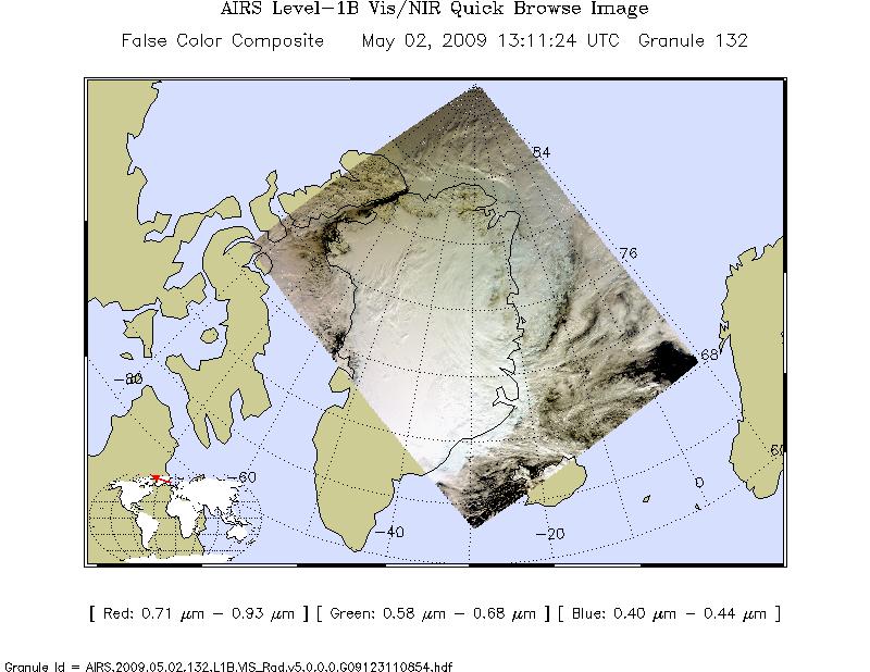
AIRS/Aqua L1B Near Real Time (NRT) Visible/Near Infrared (VIS/NIR) geolocated and calibrated radiances V005 (AIRVBRAD_NRT) at GES DISC
National Aeronautics and Space Administration —
The AIRS Visible/Near Infrared (VIS/NIR) Level 1B Near Real Time (NRT) product (AIRVBRAD_NRT_005) differs from the routine product (AIRVBRAD_005) in 2 ways to meet... -
Federal
Sentinel-3B OLCI Level-3B Global Binned Earth-observation Reduced Resolution (ERR) Remote-Sensing Reflectance (RRS) - Near Real-time (NRT) Data, version R2022.0
National Aeronautics and Space Administration —
The Ocean Biology DAAC produces near real-time (quicklook) products using the best-available combination of ancillary data from meteorological and ozone data. As... -
Federal
SMASS ASTEROID SURVEY V2.1
National Aeronautics and Space Administration —
Small Main-Belt Asteroid Spectrographic Survey over the visual range. -
Federal
MASTER: Geological Earth Mapping Experiment (GEMx), Spring 2024
National Aeronautics and Space Administration —
This dataset includes Level 1B (L1B) data products from the MODIS/ASTER Airborne Simulator (MASTER) instrument. The spectral data were collected during 26 flights... -
Federal
VIIRS/JPSS1 Thermal Anomalies/Fire 6-Min L2 Swath 750m NRT - V2
National Aeronautics and Space Administration —
The VIIRS/JPSS1 Thermal Anomalies/Fire 6-Min L2 Swath 750m NRT product, short-name VJ114_NRT is based on the MODIS Fire algorithm. The input to the Active Fires... -
Federal
Quicklook Arctic Weekly EASE-Grid Sea Ice Age, Version 1
National Aeronautics and Space Administration —
This data set is the quicklook version of the EASE-Grid Sea Ice Age product (https://nsidc.org/data/nsidc-0611). It is derived from the Quicklook Arctic Weekly EASE-... -
Federal
S-MODE L2 Position Data from Surface Drifters Version 1
National Aeronautics and Space Administration —
This dataset contains in-situ position data from surface drifters from the Sub-Mesoscale Ocean Dynamics Experiment (S-MODE) conducted approximately 300 km offshore of... -
Federal
PACE Radiometry and IOPs for Novel Great Lakes Science
National Aeronautics and Space Administration —
The Laurentian Great Lakes provide extensive optical and trophic variability across diverse ecosystems, from environments challenged by current and legacy nutrient... -
Federal
Arabian Sea bio-optical and biogeochemical data for ocean color validation
National Aeronautics and Space Administration —
This project will collect high-quality, bio-optical, and biogeochemical data for validation of advanced satellite products from PACE OCI for the Arabian Sea, a highly... -
Federal
ABoVE: Light-Curve Modelling of Gridded GPP Using MODIS MAIAC and Flux Tower Data
National Aeronautics and Space Administration —
This dataset contains gridded estimations of daily ecosystem Gross Primary Production (GPP) in grams of carbon per day at a 1 km2 spatial resolution over Alaska and...

Official websites use .gov
A
.gov website belongs to an official government
organization in the United States.
Secure .gov websites use HTTPS
A
lock (
) or https:// means you’ve safely connected to
the .gov website. Share sensitive information only on official,
secure websites.