
-
Federal
Glacier Photograph Collection, Version 1
National Aeronautics and Space Administration —
Notice: Due to funding limitations, this data set was recently changed to a “Basic” Level of Service. Learn more about what this means for users and how you can share... -
Federal
Geostationary Lightning Mapper (GLM) Thunder Hour Data Product
National Aeronautics and Space Administration —
The Geostationary Lightning Mapper (GLM) is the first optical lightning detector in geostationary orbit, and GLM sensors operate aboard the National Oceanic and... -
Federal
VIIRS/NPP Gross and Net Primary Production Gap-Filled Yearly L4 Global 500m SIN Grid V002
National Aeronautics and Space Administration —
The NASA/NOAA Suomi National Polar-orbiting Partnership (Suomi NPP) Visible Infrared Imaging Radiometer Suite (VIIRS) Gross and Net Primary Production (NPP) Gap-... -
Federal
Effect of varying amounts of simulated lunar soil batch #005 upon growth of lettuce explants
National Aeronautics and Space Administration —
The following general conclusions can be made concerning the use of tissue culture for assaying the effects of mineral elements from simulated lunar soil or other... -
Federal
PEM Tropics A Satellite Data
National Aeronautics and Space Administration —
PEM-Tropics-A_Satellite_Data is the satellite data collected during the Pacific Exploratory Mission (PEM) Tropics A suborbital campaign. Data from the Advanced Very... -
Federal
Ground-Based Satellite Laser Ranging (SLR) Observation Data (normal points, hourly files) from NASA CDDIS
National Aeronautics and Space Administration —
This dataset consists of ground-based Satellite Laser Ranging observation data (normal points, hourly files) from the NASA Crustal Dynamics Data Information System... -
Federal
GEDI L2A Elevation and Height Metrics Data Global Footprint Level V002
National Aeronautics and Space Administration —
The Global Ecosystem Dynamics Investigation (GEDI) mission aims to characterize ecosystem structure and dynamics to enable radically improved quantification and... -
Federal
ROSAT Archival Data
National Aeronautics and Space Administration —
This database table contains the list of all Röntgen Satellite (ROSAT) X-Ray Telescope (XRT) pointing-mode observations for which data sets are available, i.e., it... -
Federal
GLDAS Noah Land Surface Model L4 monthly 0.25 x 0.25 degree V2.0 (GLDAS_NOAH025_M) at GES DISC
National Aeronautics and Space Administration —
NASA Global Land Data Assimilation System Version 2 (GLDAS-2) has three components: GLDAS-2.0, GLDAS-2.1, and GLDAS-2.2. GLDAS-2.0 is forced entirely with the... -
Federal
CAR INTEX-B Long-range Pollution Transportation L1 V1 (CAR_INTEXB_L1C) at GES DISC
National Aeronautics and Space Administration —
INTEX-B (Intercontinental Chemical Transport Experiment-Phase B) focuses on the long-range transport of pollution, global atmospheric photochemistry, and the effects... -
Federal
MODIS/Terra Land Surface Temperature/Emissivity Monthly L3 Global 6km SIN Grid V006
National Aeronautics and Space Administration —
The MOD11B3 Version 6 data product was decommissioned on July 31, 2023. Users are encouraged to use the MOD11B3 Version 6.1 data product.The MOD11B3 Version 6 product... -
Federal
VIIRS/NPP Land Surface Temperature/Emissivity Daily L3 Global 1km SIN Grid Night V001
National Aeronautics and Space Administration —
The VNP21A1N VIIRS Version 1 data product was decommissioned on April 8th, 2025. Users are encouraged to use Version 2 data products, which provide better calibration... -
Federal
LBA-ECO CD-04 Soil Respiration, km 83 Tower Site, Tapajos National Forest, Brazil
National Aeronautics and Space Administration —
This data set reports on the flux of carbon dioxide from logged forest soils near the eddy flux tower at the km 83 site, Para, Brazil. The automated soil respiration... -
Federal
GPM SSMIS on F16 (GPROF) Radiometer Precipitation Profiling L3 1 day 0.25 degree x 0.25 degree V07 (GPM_3GPROFF16SSMIS_DAY) at GES DISC
National Aeronautics and Space Administration —
Version 07 is the current version of the data set. Older versions will no longer be available and have been superseded by Version 07.3GPROF products provide global... -
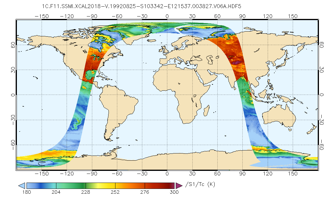
Federal
TC4 AMPR BRIGHTNESS TEMPERATURE (TB) V1
National Aeronautics and Space Administration —
The TC4 AMPR Brightness Temperature (TB) dataset consists of brightness temperature data from July 19, 2007 through August 8, 2007. The Tropical Composition, Cloud... -
Federal
Effects of microgravity on human iPSC-derived neural organoids on the International Space Station - cortical organoids
National Aeronautics and Space Administration —
Research conducted on the International Space Station (ISS) in low-Earth orbit (LEO) has shown the effects of microgravity on multiple organs. To investigate the... -
Federal
GEDI L2B Canopy Cover and Vertical Profile Metrics Data Global Footprint Level V001
National Aeronautics and Space Administration —
GEDI Version 1 data products were decommissioned on February 15, 2022. Users are advised to use the improved GEDI02_B Version 2... -
Federal
GEDI L2A Elevation and Height Metrics Data Global Footprint Level V001
National Aeronautics and Space Administration —
GEDI Version 1 data products were decommissioned on February 15, 2022. Users are advised to use the improved GEDI02_A Version 2 data product.The Global Ecosystem... -
Federal
GEDI L4B Gridded Aboveground Biomass Density, Version 2
National Aeronautics and Space Administration —
This Global Ecosystem Dynamics Investigation (GEDI) L4B product provides 1 km x 1 km (1 km, hereafter) estimates of mean aboveground biomass density (AGBD) based on... -
Federal
MAVEN SEP Calibrated Ion and Electron Spectra Data Collection (Sensor 1)
National Aeronautics and Space Administration —
Calibrated MAVEN Solar Energetic Particle (SEP) Instrument Sensor 1 ion and electron spectra. The data include total (integrated) and differential (as a function of...

Official websites use .gov
A
.gov website belongs to an official government
organization in the United States.
Secure .gov websites use HTTPS
A
lock (
) or https:// means you’ve safely connected to
the .gov website. Share sensitive information only on official,
secure websites.