
-
Federal
OMPS/NPP L1B NP Radiance EV Calibrated Geolocated Swath Orbital V2 (OMPS_NPP_NPEV_L1B) at GES DISC
National Aeronautics and Space Administration —
The OMPS-NPP L1B NP Radiance EV Calibrated Geolocated Swath Orbital collection contains calibrated and geolocated radiances from 300 to 380 nm measured by the OMPS... -
Federal
MERRA-2 tavgU_2d_aer_Nx: 2d,diurnal,Time-averaged,Single-Level,Assimilation,Aerosol Diagnostics 0.625 x 0.5 degree V5.12.4 (M2TUNXAER) at GES DISC
National Aeronautics and Space Administration —
M2TUNXAER (or tavgU_2d_aer_Nx) is a time-averaged 2-dimensional monthly diurnal means data collection in Modern-Era Retrospective analysis for Research and... -
Federal
Carbon Monitoring System Carbon Flux Total Prior L4 V3 (CMSFluxTotalPrior)
National Aeronautics and Space Administration —
This dataset provides the Prior for Total Carbon Flux.The NASA Carbon Monitoring System (CMS) is designed to make significant contributions in characterizing,... -
Federal
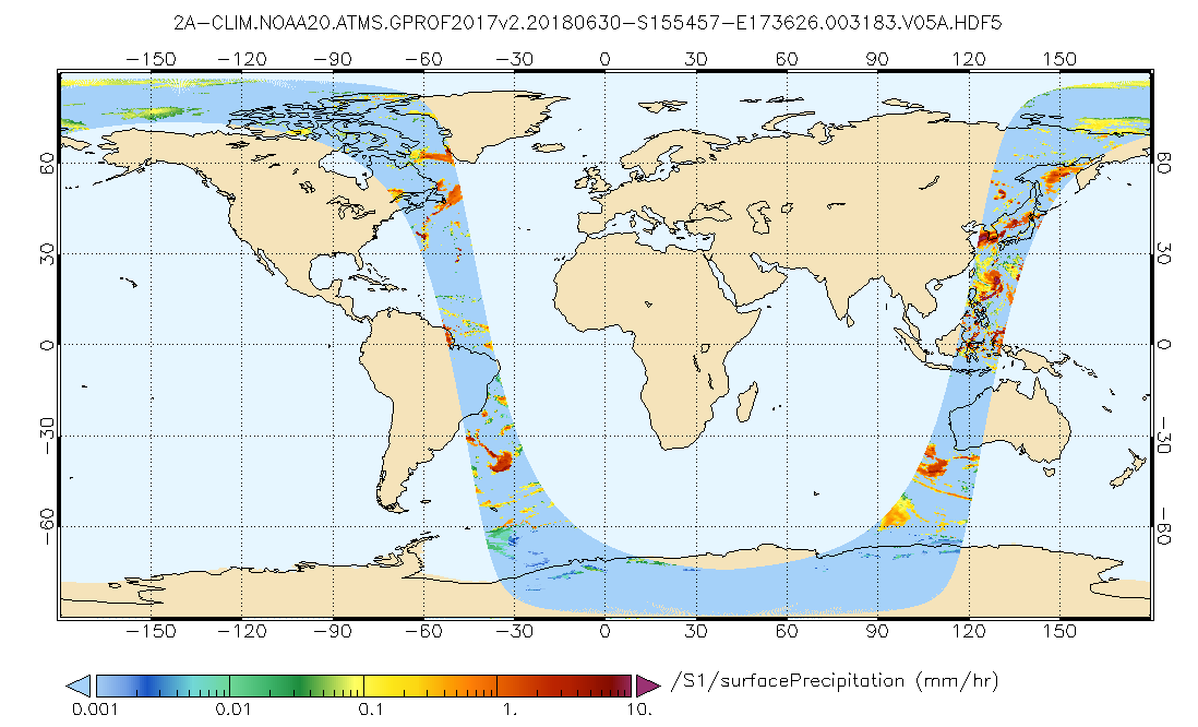
GPM ATMS on NOAA-20 (GPROF) Climate-based Radiometer Precipitation Profiling L2A 1.5 hours 17 km V07 (GPM_2AGPROFNOAA20ATMS_CLIM) at GES DISC
National Aeronautics and Space Administration —
Version 07 is the current version of the data set. The "CLIM" products differ from their "regular" counterparts (without the "CLIM" in the name) by the ancillary data... -
Federal
GLDAS Catchment Land Surface Model L4 daily 0.25 x 0.25 degree V2.0 (GLDAS_CLSM025_D) at GES DISC
National Aeronautics and Space Administration —
NASA Global Land Data Assimilation System Version 2 (GLDAS-2) has three components: GLDAS-2.0, GLDAS-2.1, and GLDAS-2.2. GLDAS-2.0 is forced entirely with the... -
Federal
Carbon Monitoring System Carbon Flux Ocean Prior L4 V3 (CMSFluxOceanPrior)
National Aeronautics and Space Administration —
This dataset provides the Prior for the Carbon Flux for Ocean.The NASA Carbon Monitoring System (CMS) is designed to make significant contributions in characterizing,... -
Federal
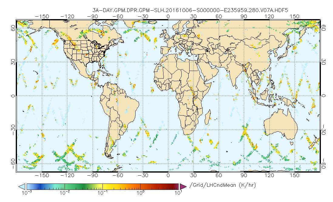
GPM DPR Spectral Latent Heating Profiles L3 1 day 0.5 degree x 0.5 degree V07 (GPM_3HSLH_DAY) at GES DISC
National Aeronautics and Space Administration —
Version 07 is the current version of the data set. Older versions will no longer be available and have been superseded by Version 07.The Gridded Spectral Latent... -
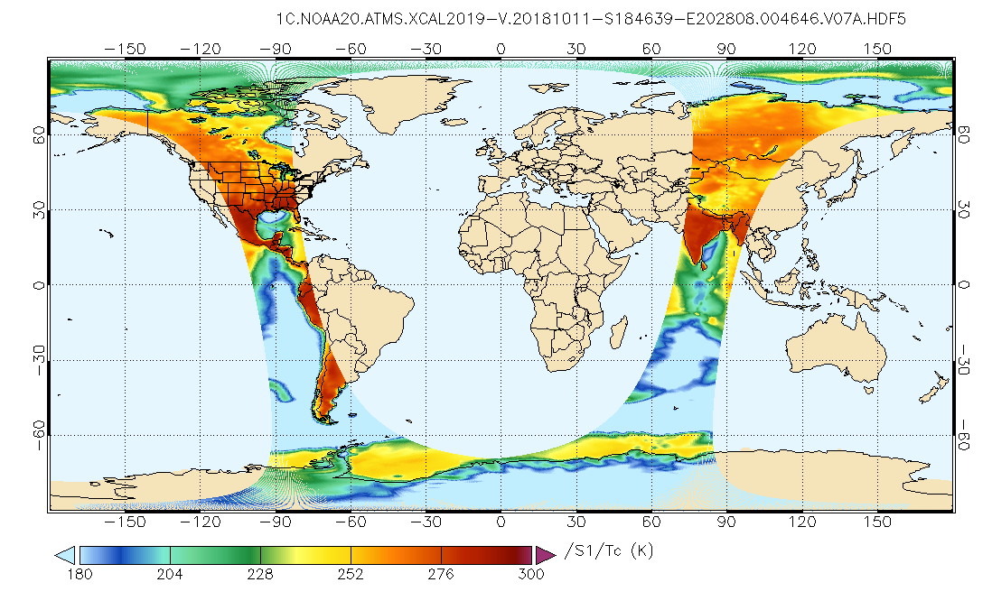
Federal
GPM ATMS on NOAA-21 Common Calibrated Brightness Temperatures L1C 1.5 hours 17 km V07 (GPM_1CNOAA21ATMS) at GES DISC
National Aeronautics and Space Administration —
Version 07 is the current version of the data set. Older versions will no longer be available and have been superseded by Version 07.1CATMS contains common calibrated... -
Federal
TSIS SIM Level 3 Solar Spectral Irradiance 12-Hour Means V13 (TSIS_SSI_L3_12HR) at GES DISC
National Aeronautics and Space Administration —
Version 13 is the current release of this data product, and supercedes all previous versions.The TSIS SIM Level 3 Solar Spectral Irradiance (SSI) 12-Hour Means data... -
Federal
CAR Discover AQ BRDF Measurements V2 (CAR_DISCOVERAQ_BRDF_2)
National Aeronautics and Space Administration —
DISCOVER-AQ, a NASA Earth Venture program funded mission, stands for Deriving Information on Surface Conditions from Column and Vertically Resolved Observations... -
Federal
MERRA-2 tavg1_2d_flx_Nx: 2d,1-Hourly,Time-Averaged,Single-Level,Assimilation,Surface Flux Diagnostics 0.625 x 0.5 degree V5.12.4 (M2T1NXFLX) at GES DISC
National Aeronautics and Space Administration —
M2T1NXFLX (or tavg1_2d_flx_Nx) is an hourly time-averaged 2-dimensional data collection in Modern-Era Retrospective analysis for Research and Applications version 2... -
Federal
MLS/Aura Level 3 Monthly Binned Relative Humidity With Respect To Ice (RHI) on Assorted Grids V004 (ML3MBRHI) at GES DISC
National Aeronautics and Space Administration —
ML3MBRHI is the EOS Aura Microwave Limb Sounder (MLS) monthly binned on various vertical grids product for relative humidity with respect to ice (RHI) derived from... -
Federal
Sounder SIPS: Suomi NPP ATMS Level 2 RAMSES II: Atmosphere, cloud and surface geophysical state V1 (SNDRSNML2RMS) at GES DISC
National Aeronautics and Space Administration —
This SNDRSNM2RMS level 2 product is generated by the RAMSES (Retrieval Algorithm for Microwave Sounders in Earth Science) II algorithm. Different from the CLIMCAPS... -
Federal
GPM ATMS on NOAA-20 Common Calibrated Brightness Temperatures L1C 1.5 hours 17 km V07 (GPM_1CNOAA20ATMS) at GES DISC
National Aeronautics and Space Administration —
Version 07 is the current version of the data set. Older versions will no longer be available and have been superseded by Version 07.1CATMS contains common calibrated... -
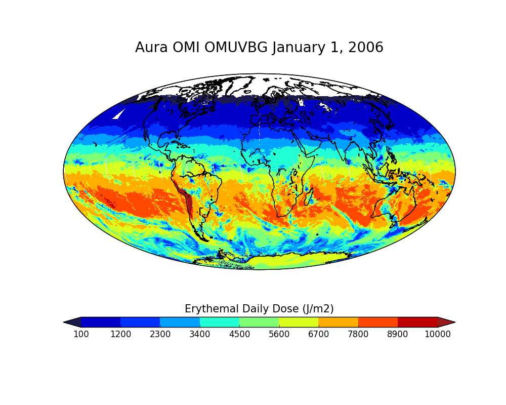
Federal
OMI/Aura Surface UVB Irradiance and Erythemal Dose Daily L2 Global Gridded 0.25 degree x 0.25 degree V3 (OMUVBG) at GES DISC
National Aeronautics and Space Administration —
This is Level-2G daily global gridded Aura-OMI Spectral Surface UVB Irradiance and Erythemal Dose product (OMUVBG). The OMUVBG is a special Level-2 Global Gridded... -
Federal
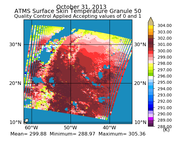
Sounder SIPS: Suomi-NPP ATMS Level 1 Daily Polygon Granule Map at GES DISC
National Aeronautics and Space Administration —
The Advanced Technology Microwave Sounder (ATMS) Level 1B data files contain brightness temperature measurements along with ancillary spacecraft, instrument, and... -
Federal
ESMR/Nimbus-5 Images of Brightness Temperature on 70 mm Film V001 (ESMRN5IM) at GES DISC
National Aeronautics and Space Administration —
ESMRN5IM is the Nimbus-5 Electrically Scanning Microwave Radiometer (ESMR) data product containing daily brightness temperature images from 70-mm photofacsimile film... -
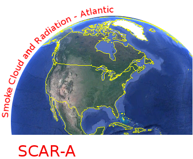
Federal
CAR SCAR-A Sulfates, Clouds, and Radiation-Atlantic BRDF Measurements BRDF V2 (CAR_SCARA_BRDF) at GES DISC
National Aeronautics and Space Administration —
The objectives for the SCAR mission are to advance our knowledge of how the physical, chemical and radiative processes in our atmosphere are affected by sulfate... -
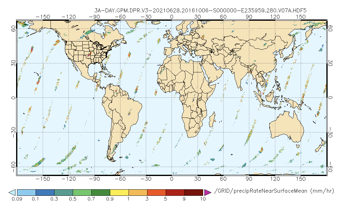
Federal
GPM DPR Precipitation Profile 1 Day 0.25 degree x 0.25 degree V07 (GPM_3DPRD) at GES DISC
National Aeronautics and Space Administration —
Version 07 is the current version of the data set. Older versions will no longer be available and have been superseded by Version 07.. The precipitation estimates in... -
Federal
NLDAS VIC Land Surface Model L4 Hourly 0.125 x 0.125 degree V2.0 (NLDAS_VIC0125_H) at GES DISC
National Aeronautics and Space Administration —
This data set contains forty-four fields simulated from the VIC land-surface model (LSM) for Phase 2 of the North American Land Data Assimilation System (NLDAS-2)....

Official websites use .gov
A
.gov website belongs to an official government
organization in the United States.
Secure .gov websites use HTTPS
A
lock (
) or https:// means you’ve safely connected to
the .gov website. Share sensitive information only on official,
secure websites.