
-
Federal
GEOS-5 FP-IT 3D Time-Averaged Model-Layer Assimilated Data Geo-Colocated to OMI/Aura UV2 1-Orbit L2 Swath 13x24km V4 (OMUFPMET) at GES DISC
National Aeronautics and Space Administration —
The GEOS-5 FP-IT 3D Time-Averaged Model-Layer Assimilated Data Geo-Colocated to OMI/Aura UV2 1-Orbit L2 Swath 13x24km (OMUFPMET) product provides selected... -
Federal
Multisensor Advanced Climatology Mean Liquid Water Path L3 Monthly 1 degree X 1 degree V1 (MACLWP_mean) at GES DISC
National Aeronautics and Space Administration —
The Multi-Sensor Advanced Climatology of Liquid Water Path (MAC-LWP) data set contains monthly 1.0-degree ocean-only estimates of cloud liquid water path... -
Federal
GPM IMERG Late Precipitation L3 1 day 0.1 degree x 0.1 degree V07 (GPM_3IMERGDL) at GES DISC
National Aeronautics and Space Administration —
Version 07 is the current version of the data set. Older versions will no longer be available and have been superseded by Version 07.The Integrated Multi-satellitE... -
Federal
GPM IMERG Final Precipitation L3 1 day 0.1 degree x 0.1 degree V07 (GPM_3IMERGDF) at GES DISC
National Aeronautics and Space Administration —
Version 07 is the current version of the data set. Older versions will no longer be available and have been superseded by Version 07.The Integrated Multi-satellitE... -
Federal
Global Landslide Nowcast from LHASA L4 1 day 1 km x 1 km version 1.1 (Global_Landslide_Nowcast) at GES DISC
National Aeronautics and Space Administration —
The Landslide Hazard Assessment for Situational Awareness (LHASA) model identifies locations with high potential for landslide occurrence at a daily temporal... -
Federal
TERRA MODIS High Resolution Level 3 daily aerosol data, 0.1x0.1 degree grid Version 001 (AER_DBDT_D10KM_L3_MODIS_TERRA) at GES DISC
National Aeronautics and Space Administration —
This High-Resolution (0.1 x 0.1 degree) Level 3 daily Aerosol Optical Depth (AOD) product is generated by combining two Moderate Resolution Imaging Spectroradiometer... -
Federal
MLS/Aura Level 3 Monthly Binned Hydroxyl (OH) Mixing Ratio on Assorted Grids V005 (ML3MBOH) at GES DISC
National Aeronautics and Space Administration —
ML3MBOH is the EOS Aura Microwave Limb Sounder (MLS) monthly binned on various vertical grids product for hydroxyl (OH) derived from radiances measured by the THz... -
Federal
GPM MHS on METOP-B (GPROF) Climate-based Radiometer Precipitation Profiling L3 1 day 0.25 degree x 0.25 degree V07 (GPM_3GPROFMETOPBMHS_DAY_CLIM) at GES DISC
National Aeronautics and Space Administration —
Version 07 is the current version of the data set. Older versions are no longer available and have been superseded by Version 07. The "CLIM" products differ from... -
Federal
SNPP VIIRS High Resolution Level 3 monthly aerosol data, 0.1x0.1 degree grid Version 001 (AER_DBDT_M10KM_L3_VIIRS_SNPP) at GES DISC
National Aeronautics and Space Administration —
This High-Resolution (0.1 x 0.1 degree) Level 3 monthly Aerosol Optical Depth (AOD) product is generated by combining two Visible Infrared Imaging Radiometer Suite... -
Federal
NCA-LDAS Noah-3.3 Land Surface Model L4 Trends 0.125 x 0.125 degree V2.0 (NCALDAS_NOAH0125_Trends) at GES DISC
National Aeronautics and Space Administration —
The National Climate Assessment - Land Data Assimilation System, or NCA-LDAS, is a terrestrial water reanalysis in support of the United States Global Change Research... -
Federal
NLDAS Secondary Forcing Data L4 Monthly 0.125 x 0.125 degree V2.0 (NLDAS_FORB0125_M) at GES DISC
National Aeronautics and Space Administration —
This data set contains the monthly secondary forcing data "File B" for Phase 2 of the North American Land Data Assimilation System (NLDAS-2). The data are in 1/8th... -
Federal
MERRA-2 tavgU_2d_rad_Nx: 2d,diurnal,Time-Averaged,Single-Level,Assimilation,Radiation Diagnostics 0.625 x 0.5 degree V5.12.4 (M2TUNXRAD) at GES DISC
National Aeronautics and Space Administration —
M2TUNXRAD (or tavgU_2d_rad_Nx) is a time-averaged 2-dimensional monthly diurnal means data collection in Modern-Era Retrospective analysis for Research and... -
Federal
NLDAS Mosaic Land Surface Model L4 Hourly 0.125 x 0.125 degree V2.0 (NLDAS_MOS0125_H) at GES DISC
National Aeronautics and Space Administration —
This data set contains thirty-eight fields simulated from the Mosaic land-surface model (LSM) for Phase 2 of the North American Land Data Assimilation System... -
Federal
Monthly Frequency of Dust Storm over Land for Varying Intensities, Based on MODIS Aqua Deep Blue Level 2 Aerosol Products MYD04_L2 Collection 6.1, on a Global 0.1 by 0.1 Degree Grid, Level 3 Version 1 (MYDFDS_MON_GLB_L3) at GES DISC
National Aeronautics and Space Administration —
Version 1 is the current version of the dataset.This collection MYDFDS_MON_GLB_L3 provides level 3 monthly frequency of dust storms (FDS) over land from 175°W to... -
Federal
AQUA MODIS High Resolution Level 3 daily aerosol data, 0.1x0.1 degree grid Version 001 (AER_DBDT_D10KM_L3_MODIS_AQUA) at GES DISC
National Aeronautics and Space Administration —
This High-Resolution (0.1 x 0.1 degree) Level 3 daily Aerosol Optical Depth (AOD) product is generated by combining two Moderate Resolution Imaging Spectroradiometer... -
Federal
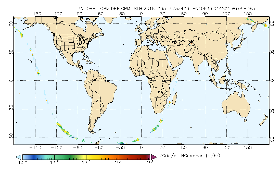
GPM DPR Gridded Orbital Spectral Latent Heating Profiles L3 1.5 hours 0.5 degree x 0.5 degree V07 (GPM_3GSLH) at GES DISC
National Aeronautics and Space Administration —
Version 07 is the current version of the data set. Older versions will no longer be available and have been superseded by Version 07.The Gridded Orbital Spectral... -
Federal
OMI/Aura Sulfur Dioxide (SO2) Total Column Daily L3 1 day Best Pixel in 0.25 degree x 0.25 degree V3 (OMSO2e) at GES DISC
National Aeronautics and Space Administration —
The OMI science team produces this Level-3 Aura/OMI Global OMSO2e Data Products (0.25 degree Latitude/Longitude grids). In this Level-3 daily global SO2 data product,... -
Federal
GPCP Precipitation Level 3 Daily 0.5-Degree V3.2 (GPCPDAY) at GES DISC
National Aeronautics and Space Administration —
Version 3.2 has been superseded by Version 3.3 (10.5067/MEASURES/GPCP/DATA307).The Global Precipitation Climatology Project (GPCP) is the precipitation component of... -
Federal
Multi-Satellite Lambertian Equivalent Reflectivity (Local Satellite Time) 10-Day L3 Global 2.0x5.0deg Lat/Lon Grid V1 (MSLERLSTL3d10) at GES DISC
National Aeronautics and Space Administration —
The Multi-Satellite Lambertian Equivalent Reflectivity (Local Satellite Time) 10-Day L3 Global 2.0x5.0deg Lat/Lon Grid data product is derived from multi-satellite... -
Federal
MODIS/Aqua Monthly mean Night-Time Land Surface Temperature at 1x1 degree V005 (MYD11CM1N) at GES DISC
National Aeronautics and Space Administration —
The dataset contains global monthly night-time land surface temperature averaged within 1 by 1 degree grid cells. The source for the data is MODIS/Aqua MYD11C3...

Official websites use .gov
A
.gov website belongs to an official government
organization in the United States.
Secure .gov websites use HTTPS
A
lock (
) or https:// means you’ve safely connected to
the .gov website. Share sensitive information only on official,
secure websites.