
-
Federal
UAVSAR_POLSAR_PAULI
National Aeronautics and Space Administration —
UAVSAR PolSAR Scene Pauli Decomposition -
Federal
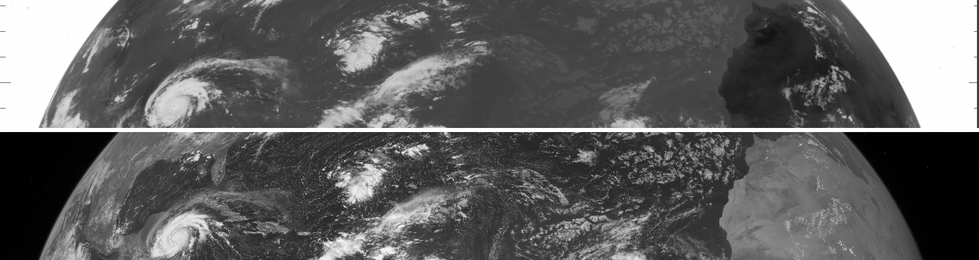
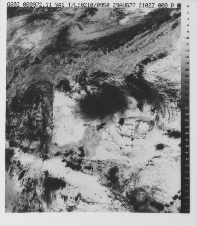
VISSR/SMS-1 Level 1 Atmospheric and Oceanographic Image Processing System (AOIPS) Data V001 (VISSRSMS1L1AOIPS) at GES DISC
National Aeronautics and Space Administration —
VISSRSMS1L1AOIPS is the Visible Infrared Spin-Scan Radiometer (VISSR) Level 1 Atmospheric and Oceanographic Image Processing System (AOIPS) data product from the... -
Federal
UAVSAR_POLSAR_SLOPE
National Aeronautics and Space Administration —
UAVSAR PolSAR Scene Slope -
Federal
AIRSAR_TOPSAR_DEM_C
National Aeronautics and Space Administration —
AIRSAR topographic SAR digital elevation model CTIF product -
Federal
SCOAPE Ground Site Data
National Aeronautics and Space Administration —
SCOAPE_Ground_Data is the ground site data collected during the Satellite Coastal and Oceanic Atmospheric Pollution Experiment (SCOAPE). The ground site was located... -
Federal
HUYGENS PROBE DWE RESULTS V1.0
National Aeronautics and Space Administration —
The DWE data set consists of the sky frequencies measured at the Green Bank and Parkes telescopes (data from other stations may be included when they become... -
Federal
VISSR/SMS-2 Level 1 Experimenter History Data V001 (VISSRSMS2L1EHT) at GES DISC
National Aeronautics and Space Administration —
VISSRSMS2L1EHT is the Visible Infrared Spin-Scan Radiometer (VISSR) Level 1 Experimenter History Tape (EHT) data product from the second Synchronous Meteorological... -
Federal
VISSR/SMS-1 Level 1 Experimenter History Data V001 (VISSRSMS1L1EHT) at GES DISC
National Aeronautics and Space Administration —
VISSRSMS1L1EHT is the Visible Infrared Spin-Scan Radiometer (VISSR) Level 1 Experimenter History Tape (EHT) data product from the first Synchronous Meteorological... -
Federal
VISSR/SMS-1 Level 1 Atmospheric and Oceanographic Image Processing System (AOIPS) Data V001 (VISSRSMS1L1AOIPS) at GES DISC
National Aeronautics and Space Administration —
VISSRSMS1L1AOIPS is the Visible Infrared Spin-Scan Radiometer (VISSR) Level 1 Atmospheric and Oceanographic Image Processing System (AOIPS) data product from the... -
Federal
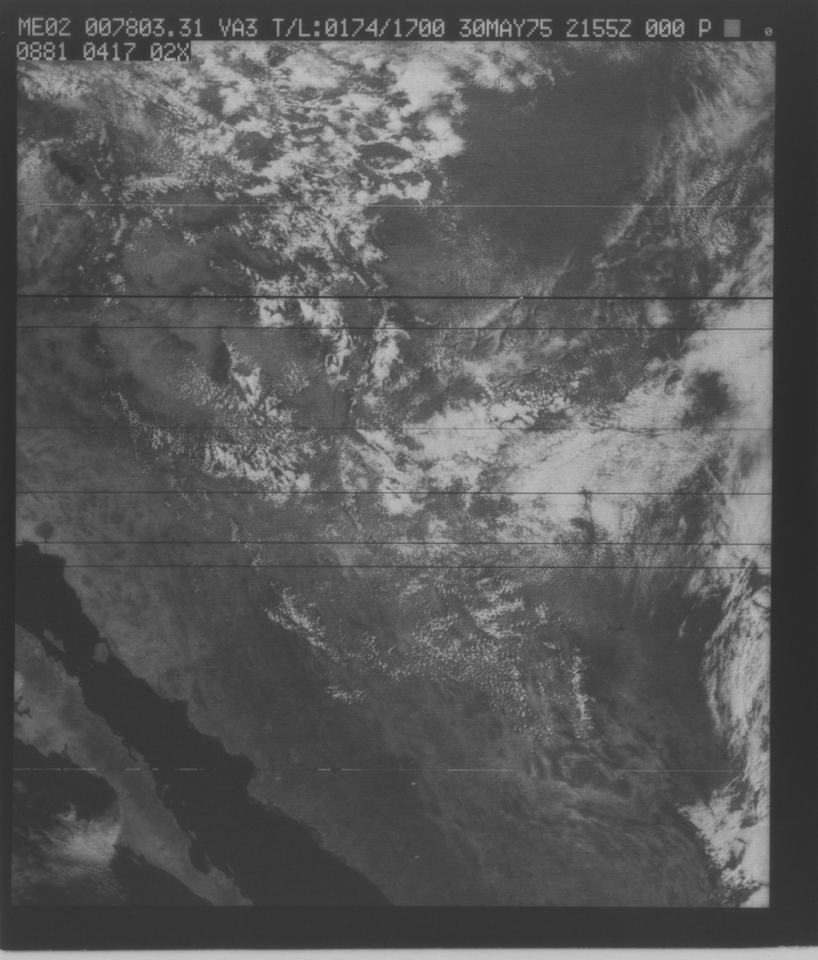
VISSR/SMS-1 Infrared Imagery on 70mm Film V001 (VISSRSMS1IMIR) at GES DISC
National Aeronautics and Space Administration —
VISSRSMS1IMIR is the Visible Infrared Spin-Scan Radiometer (VISSR) Infrared Imagery on 70mm Film data product from the first Synchronous Meteorological Satellite... -
Federal
VISSR/SMS-2 Visible Imagery on 70mm Film V001 (VISSRSMS2IMVIS) at GES DISC
National Aeronautics and Space Administration —
VISSRSMS2IMVIS is the Visible Infrared Spin-Scan Radiometer (VISSR) Visible Imagery on 70mm Film data product from the second Synchronous Meteorological Satellite... -
Federal
VISSR/SMS-2 Level 1 Atmospheric and Oceanographic Image Processing System (AOIPS) Data V001 (VISSRSMS2L1AOIPS) at GES DISC
National Aeronautics and Space Administration —
VISSRSMS2L1AOIPS is the Visible Infrared Spin-Scan Radiometer (VISSR) Level 1 Atmospheric and Oceanographic Image Processing System (AOIPS) data product from the... -
Federal
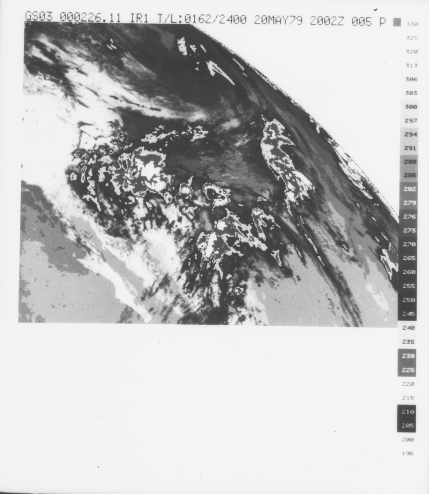
VISSR/GOES-3 Infrared Imagery on 70mm Film V001 (VISSRGOES3IMIR) at GES DISC
National Aeronautics and Space Administration —
VISSRGOES3IMIR is the Visible Infrared Spin-Scan Radiometer (VISSR) Infrared Imagery on 70mm Film data product from the third Geostationary Operational Environmental... -
Federal
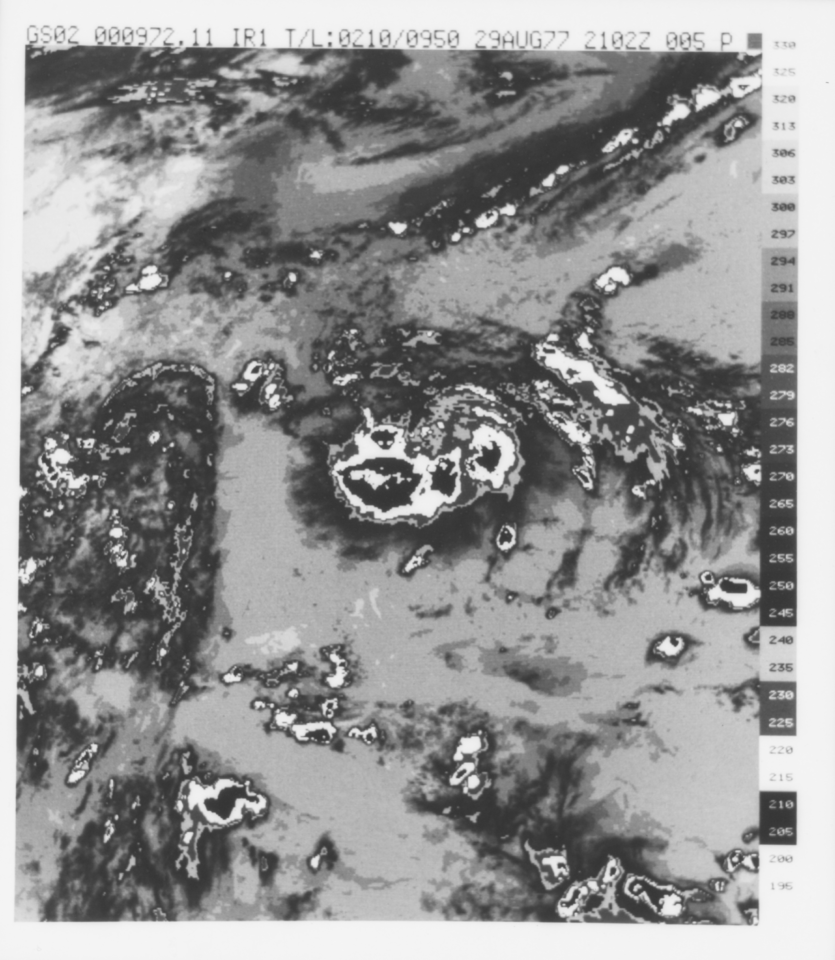
VISSR/GOES-2 Infrared Imagery on 70mm Film V001 (VISSRGOES2IMIR) at GES DISC
National Aeronautics and Space Administration —
VISSRGOES2IMIR is the Visible Infrared Spin-Scan Radiometer (VISSR) Infrared Imagery on 70mm Film data product from the second Geostationary Operational Environmental... -
Federal
VISSR/GOES-1 Infrared Imagery on 70mm Film V001 (VISSRGOES1IMIR) at GES DISC
National Aeronautics and Space Administration —
VISSRGOES1IMIR is the Visible Infrared Spin-Scan Radiometer (VISSR) Infrared Imagery on 70mm Film data product from the first Geostationary Operational Environmental... -
Federal
VISSR/GOES-2 Visible Imagery on 70mm Film V001 (VISSRGOES2IMVIS) at GES DISC
National Aeronautics and Space Administration —
VISSRGOES2IMVIS is the Visible Infrared Spin-Scan Radiometer (VISSR) Visible Imagery on 70mm Film data product from the second Geostationary Operational Environmental... -
Federal
SAFARI 2000 Meteorological Tower Measurements, Kruger National Park, 2000-2002
National Aeronautics and Space Administration —
An eddy covariance system mounted on a tower near the Skukuza Camp in Kruger National Park, South Africa, has been operating continuously since early 2000.... -
Federal
SAFARI 2000 ALI/ETM+ Tandem Image Pair for Skukuza, South Africa, May 2001
National Aeronautics and Space Administration —
A tandem pair of Advanced Land Imager (ALI) and Landsat Enhanced Thematic Mapper Plus (ETM+) scenes covering the same part of Kruger National Park (KNP), South Africa... -
Federal
SAFARI 2000 BRDF Measurements at Sua Pan and Skukuza, Dry Season 2000
National Aeronautics and Space Administration —
The Jet Propulsion Laboratory's (JPL) Portable Apparatus for Rapid Acquisition of Bidirectional Observation of the Land and Atmosphere (PARABOLA), version III,... -
Federal
SAFARI 2000 Biomass Burning Emissions, Selected Sites, Dry Season 2000
National Aeronautics and Space Administration —
Biomass burning is a major source for gaseous and particulate atmospheric pollution over southern Africa and globally. The purpose of this study was to quantify...

Official websites use .gov
A
.gov website belongs to an official government
organization in the United States.
Secure .gov websites use HTTPS
A
lock (
) or https:// means you’ve safely connected to
the .gov website. Share sensitive information only on official,
secure websites.