
-
Federal
VIIRS/NPP BRDF/Albedo WSA at Solar Noon NIR Daily L3 Global 30ArcSec CMG V002
National Aeronautics and Space Administration —
The NASA/NOAA Suomi National Polar-orbiting Partnership (Suomi NPP) Visible Infrared Imaging Radiometer Suite (VIIRS) Bidirectional Reflectance Distribution Function... -
Federal
SARP 2024 Data
National Aeronautics and Space Administration —
SARP_2024_Data is the data collected onboard the NASA P-3B and the Dynamic Aviation B200 aircrafts during the 2024 deployment of the Student Airborne Research Program... -
Federal
NASA 3D Models: Aquarius
National Aeronautics and Space Administration —
Aquarius is making NASA's first space-based global observations of ocean surface salinity, flying 657 kilometers (408 miles) above Earth in a sun-synchronous polar... -
Federal
SMAPVEX16 Manitoba PALS Brightness Temperature and Soil Moisture Data V001
National Aeronautics and Space Administration —
This product contains data derived from permanent in situ soil stations and observations by the Passive Active L-band System (PALS) microwave aircraft instrument. The... -
Federal
ISLSCP II Global Gridded Soil Characteristics
National Aeronautics and Space Administration —
This data set provides gridded data for selected soil parameters derived from data and methods developed by the Global Soil Data Task, an international collaborative... -
Federal
VIIRS/NPP DNB BRDF/Albedo Quality Daily L3 Global 1km SIN Grid V002
National Aeronautics and Space Administration —
The NASA/NOAA Suomi National Polar-orbiting Partnership (Suomi NPP) Visible Infrared Imaging Radiometer Suite (VIIRS) Day/Night Band (DNB) Bidirectional Reflectance... -
Federal
CAR FIREACE Arctic Ice and Cloud Radiation BRDF V2 (CAR_FIREACE_BRDF) at GES DISC
National Aeronautics and Space Administration —
The scientific objectives of FIRE/ACE are to study impact of Arctic clouds on radiation exchange between surface, atmosphere, and space, and the influence of surface... -
Federal
ECOSTRESS Swath Attitude and Ephemeris Instantaneous L1B Global V002
National Aeronautics and Space Administration —
The ECOsystem Spaceborne Thermal Radiometer Experiment on Space Station (ECOSTRESS) mission measures the temperature of plants to better understand how much water... -
Federal
SARP-East 2023 Data
National Aeronautics and Space Administration —
SARP_2023_East_Data is the ground site data and data collected onboard the Dynamic Aviation B200 aircraft during the 2023 deployment of the Student Airborne Research... -
Federal
ASTER Global Water Bodies Database NetCDF V001
National Aeronautics and Space Administration —
The Terra Advanced Spaceborne Thermal Emission and Reflection Radiometer (ASTER) Global Water Bodies Database (ASTWBD) Version 1 data product provides global coverage... -
Federal
MODIS/Aqua Net Evapotranspiration Gap-Filled 8-Day L4 Global 500m SIN Grid V006
National Aeronautics and Space Administration —
The MYD16A2GF Version 6 data product was decommissioned on July 31, 2023. Users are encouraged to use the MYD16A2GF Version 6.1 data product.The MYD16A2GF Version 6... -
Federal
GLDAS Catchment Land Surface Model L4 monthly 1.0 x 1.0 degree V2.1 (GLDAS_CLSM10_M) at GES DISC
National Aeronautics and Space Administration —
NASA Global Land Data Assimilation System Version 2 (GLDAS-2) has three components: GLDAS-2.0, GLDAS-2.1, and GLDAS-2.2. GLDAS-2.0 is forced entirely with the... -
Federal
VIIRS/JPSS1 Vegetation Indices Monthly L3 Global 1km SIN Grid V002
National Aeronautics and Space Administration —
The NOAA-20 Visible Infrared Imaging Radiometer Suite (VIIRS) Vegetation Indices (VJ113A3) Version 2 data product provides vegetation indices by a process of... -
Federal
Scanning Multichannel Microwave Radiometer (SMMR) Monthly Mean Atmospheric Liquid Water (ALW) By Prabhakara
National Aeronautics and Space Administration —
SMMR_ALW_PRABHAKARA data are Special Multichannel Microwave Radiometer (SMMR) Monthly Mean Atmospheric Liquid Water (ALW) data by Prabhakara.The Prabhakara Scanning... -
Federal
AIRS/Aqua L3 Daily Standard Physical Retrieval (AIRS-only) 1 degree x 1 degree V006 (AIRS3STD) at GES DISC
National Aeronautics and Space Administration —
The Atmospheric Infrared Sounder (AIRS) is a grating spectrometer (R = 1200) aboard the second Earth Observing System (EOS) polar-orbiting platform, EOS Aqua. In... -
Federal
VIIRS/NPP BRDF/Albedo BSA at Solar Noon ShortWave Daily L3 Global 30ArcSec CMG V002
National Aeronautics and Space Administration —
The NASA/NOAA Suomi National Polar-orbiting Partnership (Suomi NPP) Visible Infrared Imaging Radiometer Suite (VIIRS) Bidirectional Reflectance Distribution Function... -
Federal
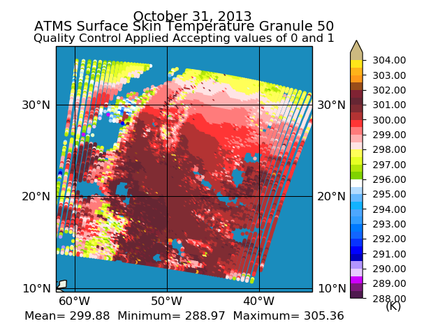
Sounder SIPS: Suomi NPP ATMS Level 2 RAMSES II: Atmosphere, cloud and surface geophysical state V1 (SNDRSNML2RMS) at GES DISC
National Aeronautics and Space Administration —
This SNDRSNM2RMS level 2 product is generated by the RAMSES (Retrieval Algorithm for Microwave Sounders in Earth Science) II algorithm. Different from the CLIMCAPS... -
Federal
CAMP2Ex Learjet In-Situ Cloud Data
National Aeronautics and Space Administration —
CAMP2Ex_Cloud_AircraftInSitu_Learjet_Data are in-situ cloud measurements conducted onboard the SPEC Learjet aircraft during the Clouds, Aerosol and Monsoon Processes-... -
Federal
Sounder SIPS: Suomi NPP CrIMSS Level 2 CHART Normal Spectral Resolution: Atmosphere, cloud and surface geophysical state V1
National Aeronautics and Space Administration —
The objective of this limited edition data collection is to examine products generated by the Climate Heritage AIRS Retrieval Technique (CHART) algorithm to analyze... -
Federal
Sounder SIPS: Suomi NPP CrIMSS Level 3 Specific Quality Control Gridded Monthly CHART Normal Spectral Resolution V1
National Aeronautics and Space Administration —
The objective of this limited edition data collection is to examine products generated by the Climate Heritage AIRS Retrieval Technique (CHART) algorithm to analyze...

Official websites use .gov
A
.gov website belongs to an official government
organization in the United States.
Secure .gov websites use HTTPS
A
lock (
) or https:// means you’ve safely connected to
the .gov website. Share sensitive information only on official,
secure websites.