

33 datasets found for "Provinces"
-
Federal
UAVSAR_POLSAR_ML_COMPLEX_SLANT
National Aeronautics and Space Administration —
UAVSAR PolSAR Scene Complex -
Federal
UAVSAR_POLSAR_DEM
National Aeronautics and Space Administration —
UAVSAR PolSAR Scene DEM TIFF -
Federal
UAVSAR_POLSAR_PAULI
National Aeronautics and Space Administration —
UAVSAR PolSAR Scene Pauli Decomposition -
Federal
SAFARI 2000 Pre- and Post-fire Reflectance near Kaoma, Zambia, Dry Season 2000
National Aeronautics and Space Administration —
The main goal of this study was to analyze the possibility of estimating combustion completeness based on fire-induced spectral reflectance changes of surface... -
Federal
Permafrost Map of Alaska, USA, Version 1
National Aeronautics and Space Administration —
This data set consists of a geo-referenced digital map and attribute data derived from the publication 'Permafrost map of Alaska'. The map is presented at a scale of... -
Federal
SAFARI 2000 Surface Irradiance Measurements, Mongu Tower Site, Zambia, 2000-2002
National Aeronautics and Space Administration —
This data set contains the top-of-canopy irradiance in the shortwave (0.3-2.8 micron) and photosynthetically active radiation (PAR; 0.4-0.7 micron) wavebands... -
Federal
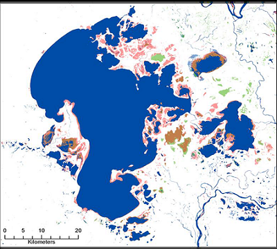
ABoVE: Surface Water Extent, Boreal and Tundra Regions, North America, 1991-2011
National Aeronautics and Space Administration —
This data set provides the location and extent of surface water (open water not including vegetated wetlands) for the entire Boreal and Tundra regions of North... -
Federal
Arctic Vegetation Plots at Umiat, North Slope, Alaska, 1951
National Aeronautics and Space Administration —
This data set provides vegetation cover and plot data collected during the periods of July and August, 1951, from 51 stands (areas of homogeneous vegetation... -
Federal
Arctic Tundra Flux Study in the Kuparuk River Basin (Alaska), 1994-1996
National Aeronautics and Space Administration —
CO2 and water vapor fluxes and ecosystem characteristics were measured at 24 sites along a 317-km transect from the Arctic coast to the latitudinal treeline in Alaska... -
Federal
BOREAS TGB-05 Fire History of Manitoba 1980 to 1991 in Raster Format
National Aeronautics and Space Administration —
This raster format data set covers the province of Manitoba. The data were gridded into the AEAC projection from the original vector data. The original vector data... -
Federal
CMS: Mangrove Canopy Height from High-resolution Stereo Image Pairs, Mozambique, 2012
National Aeronautics and Space Administration —
This data set provides canopy height estimates for mangrove forests at 0.6 x 0.6 m resolution in three study sites located in southeastern Mozambique, Africa: two...
33 datasets found for "Provinces"