
-
Federal
MODIS/Terra Temperature and Water Vapor Profiles 5-Min L2 Swath 5km NGDA
National Aeronautics and Space Administration —
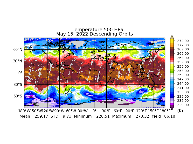
The MODIS/Terra Temperature and Water Vapor Profiles 5-Min L2 Swath 5km (MOD07_L2) product consists of a numbers of parameters related to atmospheric stability,... -
Federal
SLSTR/Sentinel-3B L1 Full Resolution Top of Atmosphere Radiances and Brightness Temperature
National Aeronautics and Space Administration —
The SLSTR/Sentinel-3B L1 Full Resolution Top of Atmosphere Radiances and Brightness Temperature product with shortname S3B_SL_1_RBT, is generated from the data... -
Federal
VIIRS/NPP Moderate Resolution Terrain-Corrected Geolocation L1 6-Min Swath 750 m
National Aeronautics and Space Administration —
The VIIRS/NPP Moderate Resolution Terrain-Corrected Geolocation 6-Min L1 Swath 750 m product, short-name VNP03MOD, contains the derived line-of-sight (LOS) vectors... -
Federal
Sounder SIPS: Suomi NPP CrIMSS Level 3 Comprehensive Quality Control Gridded Monthly CHART Normal Spectral Resolution V1
National Aeronautics and Space Administration —
The objective of this limited edition data collection is to examine products generated by the Climate Heritage AIRS Retrieval Technique (CHART) algorithm to analyze... -
Federal
Sounder SIPS: Suomi NPP CrIMSS Level 2 CLIMCAPS Normal Spectral Resolution: Atmosphere cloud and surface geophysical state V2 (SNDRSNIML2CCPRETN) at GES DISC
National Aeronautics and Space Administration —
WARNING: To users of the derived product “co_mmr_midtrop” (carbon monoxide mass mixing ratio to dry air [kg/kg] at ~500 hPa). This variable has a significant bias due... -
Federal
MODIS/Aqua Aerosol Cloud Water Vapor Ozone Daily L3 Global 1Deg CMG NGDA
National Aeronautics and Space Administration —
The MODIS/Aqua Aerosol Cloud Water Vapor Ozone Daily L3 Global 1Deg CMG product (MYD08_D3) contains daily 1 x 1 degree grid average values of atmospheric parameters... -
Federal
VIIRS NOAA-20 (JPSS-1) 375m, I-Band Active Fire Product NRT (Vector Data)
National Aeronautics and Space Administration —
Near real-time (NRT) NOAA-20 (formally JPSS-1) Visible Infrared Imaging Radiometer Suite (VIIRS) Active Fire detection product is based on the instrument's 375 m... -
Federal
VIIRS/NPP Gap-Filled Lunar BRDF-Adjusted Nighttime Lights Daily L3 Global 500m Linear Lat Lon Grid
National Aeronautics and Space Administration —
The second of the two VIIRS DNB-based datasets is a daily moonlight- and atmosphere-corrected Nighttime Lights (NTL) product called VIIRS/NPP Gap-Filled Lunar BRDF-... -
Federal
Sounder SIPS: JPSS-1 ATMS Level 3 RAMSES2 Standard Gridded Daily V3 at GES DISC
National Aeronautics and Space Administration —
This level 3 daily product is generated from the RAMSES (Retrieval Algorithm for Microwave Sounders in Earth Science) II algorithm.The RAMSES II algorithm is a... -
Federal
MODIS/Aqua Temperature and Water Vapor Profiles 5-Min L2 Swath 5km NGDA
National Aeronautics and Space Administration —
The MODIS/Aqua Temperature and Water Vapor Profiles 5-Min L2 Swath 5km (MYD07_L2) product consists of a numbers of parameters related to atmospheric stability,... -
Federal
MODIS/Aqua Cloud Mask and Spectral Test Results 5-Min L2 Swath 250m and 1km NGDA
National Aeronautics and Space Administration —
The MODIS/Aqua Cloud Mask and Spectral Test Results 5-Min L2 Swath 250m and 1km product consists of global cloud mask quality assurance and other ancillary... -
Federal
MODIS/Aqua Calibrated Radiances 5-Min L1B Swath 250m NGDA
National Aeronautics and Space Administration —
The MODIS/Terra Calibrated Radiances 5-Min L1B Swath 250m data set contains calibrated and geolocated at-aperture radiances for 2 discrete bands located in the 0.62... -
Federal
Sounder SIPS: Suomi NPP ATMS Level 3 RAMSES2 Standard Gridded Daily V3 at GES DISC
National Aeronautics and Space Administration —
This level 3 daily product is generated from the RAMSES (Retrieval Algorithm for Microwave Sounders in Earth Science) II algorithm.The RAMSES II algorithm is a... -
Federal
VIIRS/NPP Day/Night Band Moderate Resolution Terrain-Corrected Geolocation 6-Min L1 Swath 750m NRT
National Aeronautics and Space Administration —
The VIIRS/NPP Day/Night Band Moderate Resolution Terrain-Corrected Geolocation 6-Min L1 Swath 750m Near Real Time (NRT) product, short-name VNP03DNB_NRT includes the... -
Federal
NRT AMSR2 Unified Global Swath Surface Precipitation GSFC Profiling Algorithm V2
National Aeronautics and Space Administration —
The Advanced Microwave Scanning Radiometer 2 (AMSR2) instrument on the Global Change Observation Mission - Water 1 (GCOM-W1) provides global passive microwave... -
Federal
Sounder SIPS: Suomi NPP CrIMSS Level 3 Specific Quality Control Gridded Monthly CHART Normal Spectral Resolution V1
National Aeronautics and Space Administration —
The objective of this limited edition data collection is to examine products generated by the Climate Heritage AIRS Retrieval Technique (CHART) algorithm to analyze... -
Federal
MODIS/Terra Gap-Filled, Smoothed NDVI 8-Day L4 250m SIN Grid NGDA
National Aeronautics and Space Administration —
The MODIS/Terra Gap-Filled, Smoothed NDVI 8-Day L4 250m SIN Grid product, with short-name MOD09Q1G_NDVI is calculated from MODIS surface reflectance products (MOD09),... -
Federal
MODIS/Aqua Clear Radiance Statistics Indexed to Global Grid 5-Min L2 Swath 10km NGDA
National Aeronautics and Space Administration —
The MODIS/Aqua Clear Radiance Statistics Indexed to Global Grid 5-Min L2 Swath 10km (MYDCSR_G)product provides a variety of, statistical measures that characterize... -
Federal
MODIS/Terra Calibrated Radiances 5-Min L1B Swath 1km NGDA
National Aeronautics and Space Administration —
The MODIS/Terra Calibrated Radiances 5Min L1B Swath 1km data set contains calibrated and geolocated at-aperture radiances for 36 discrete bands located in the 0.4 to...

Official websites use .gov
A
.gov website belongs to an official government
organization in the United States.
Secure .gov websites use HTTPS
A
lock (
) or https:// means you’ve safely connected to
the .gov website. Share sensitive information only on official,
secure websites.